7 August 2014 — Air history, and animal conservation

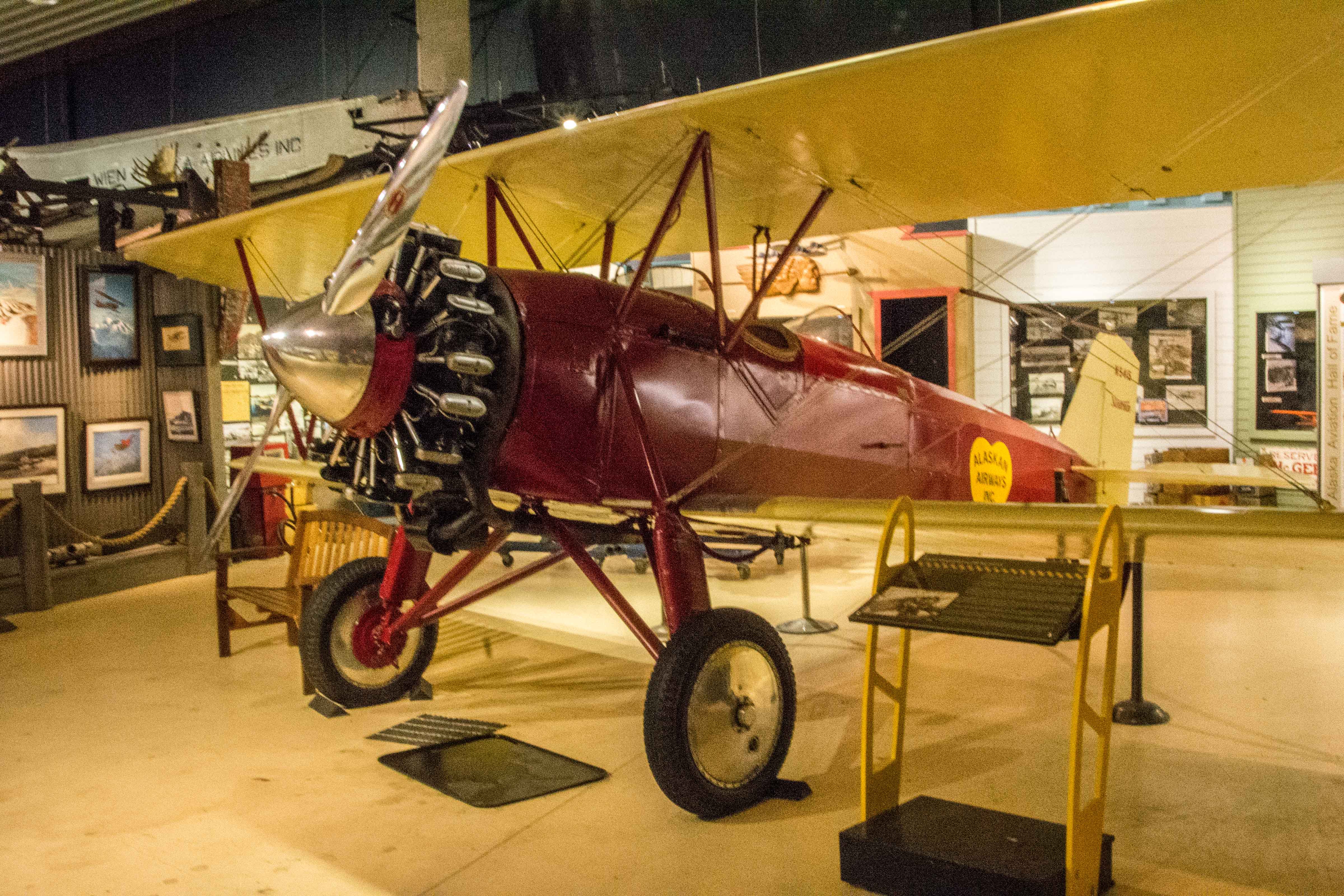
1928 aircraft

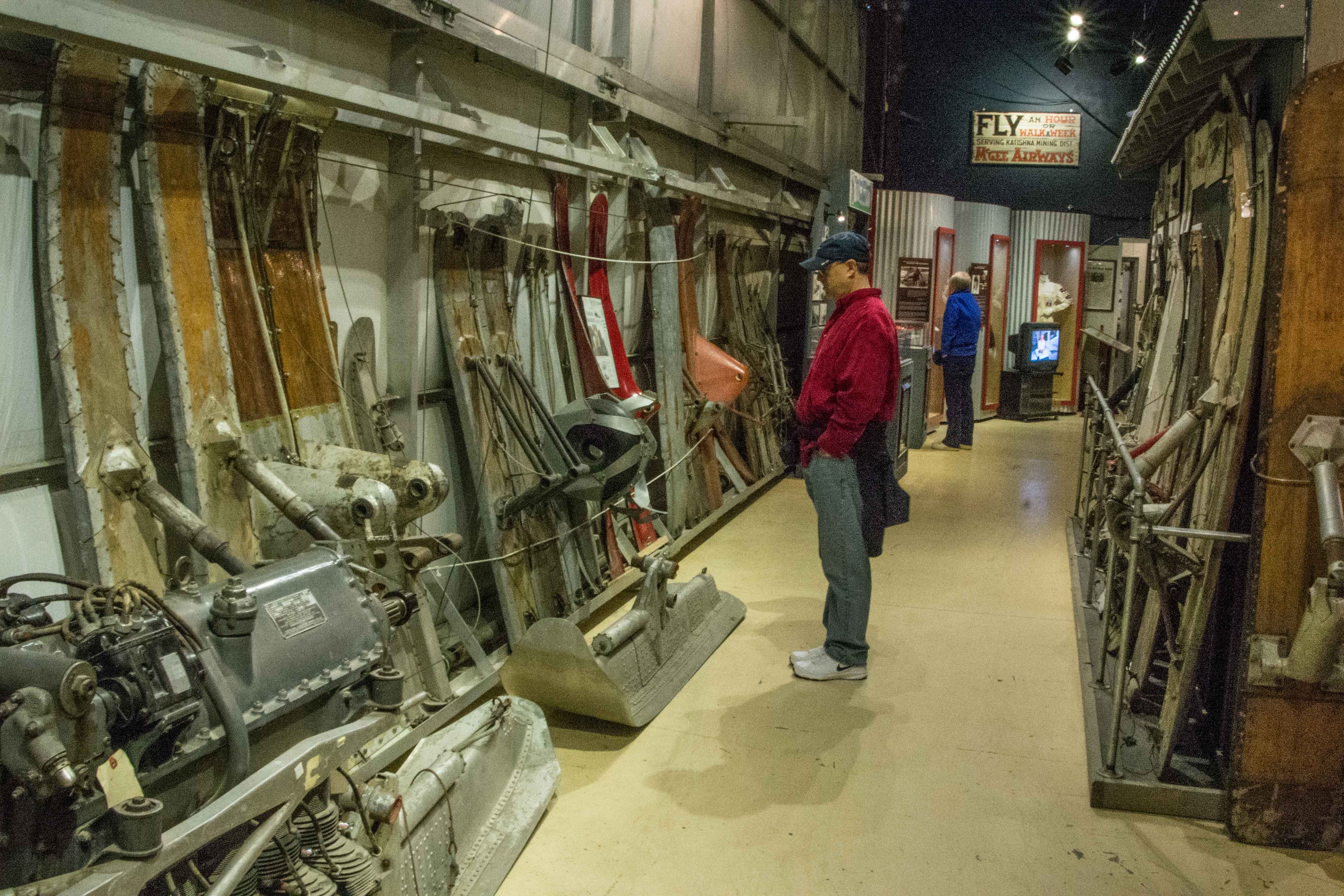
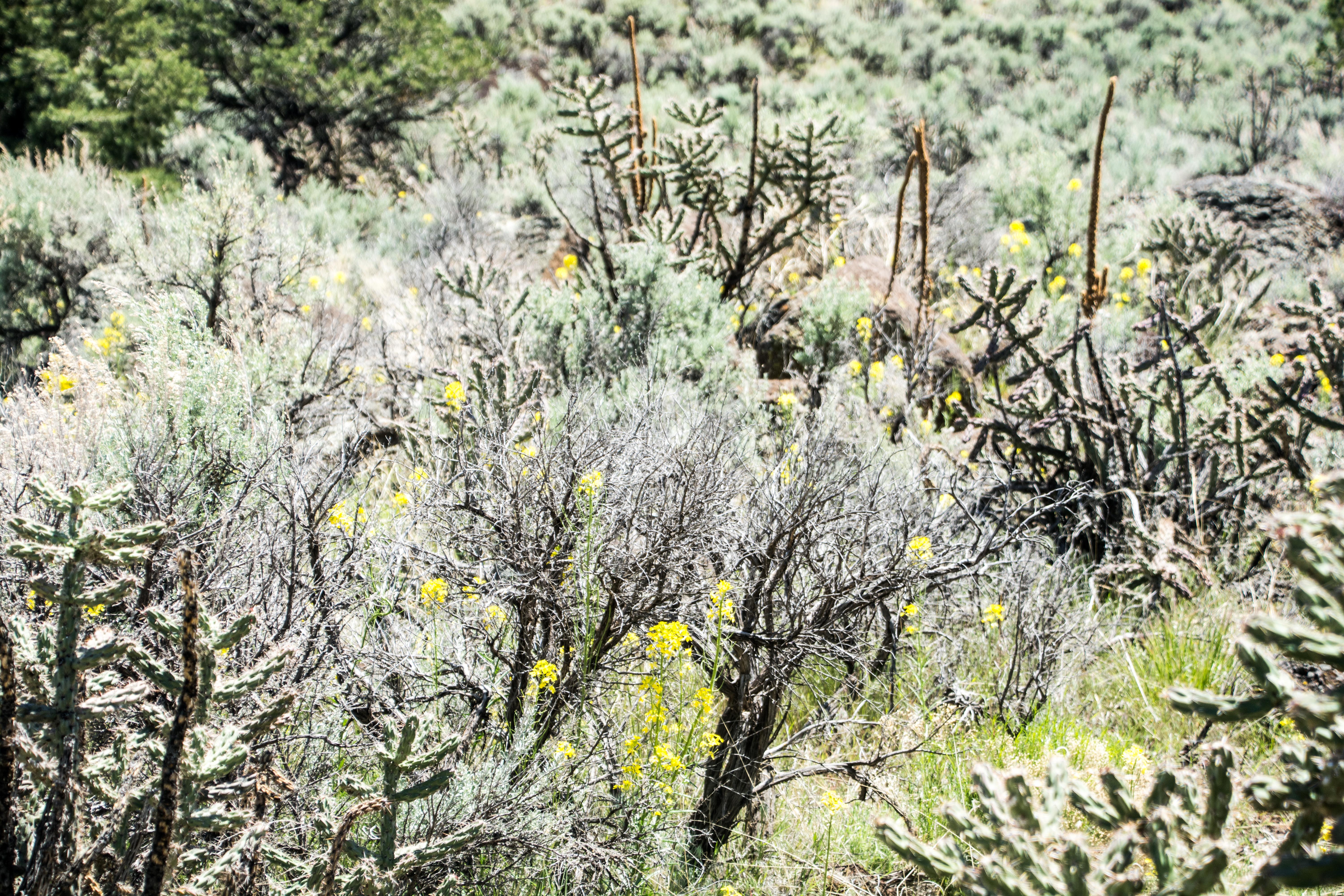
Such a variety of aircraft skis
The first thing we did today was go visit the Anchorage Air Museum. This is smaller and more colloquial than the Palm Springs Air Museum, but really quite well done. The focus is on the early air pioneers in Alaska, starting with the first airplane brought here. This was in 1913, when James V. Martin and his wife Lilly were invited to bring their airplane “show” to Anchorage for the July 4th celebration. Flight was not established enough for them to fly their machine to Fairbanks, so they disassembled it and shipped it piece by piece. The “show” was the plane being flown for short-duration flight demonstrations for three days in July, starting on the 4th. The Martin entourage and the plane got to Anchorage well ahead of time, and the Martins were feted by the locals. In between fetes, the plane got put back together, and after some adjustments, it flew. It took several trips (none longer than 20 minutes), and the demonstration was over. Martin tried to sell the plane locally, but got no offers, so he and the team disassembled it and sent it back to the lower 48. Commercial aviation finally came to Alaska in 1923, and thus began the era of the bush pilot, which continues to this day. The museum in its main building had several examples of these early planes as well as early engines, wings, propellers, skids, floats and assorted air service costumes.

Gull winged airplane circa WWII
In addition to the bush pilot information, the museum has an eclectic collection of planes, all previously in use in Alaska. Outdoors, the museum had an F-15 (without engines), a commercial 737 which was called the “guppy” (presumably named for its remarkable resemblance dimensionally to the fish by that name), and several other larger airplanes. In a second hangar, the museum has some planes from the WW II. These are small planes which were in use in the Alaskan or Russian area at that time. Elmendorf Air Force Base is near Anchorage, and I suspect the planes were flown out of what would have been Elmendorf field at the time.

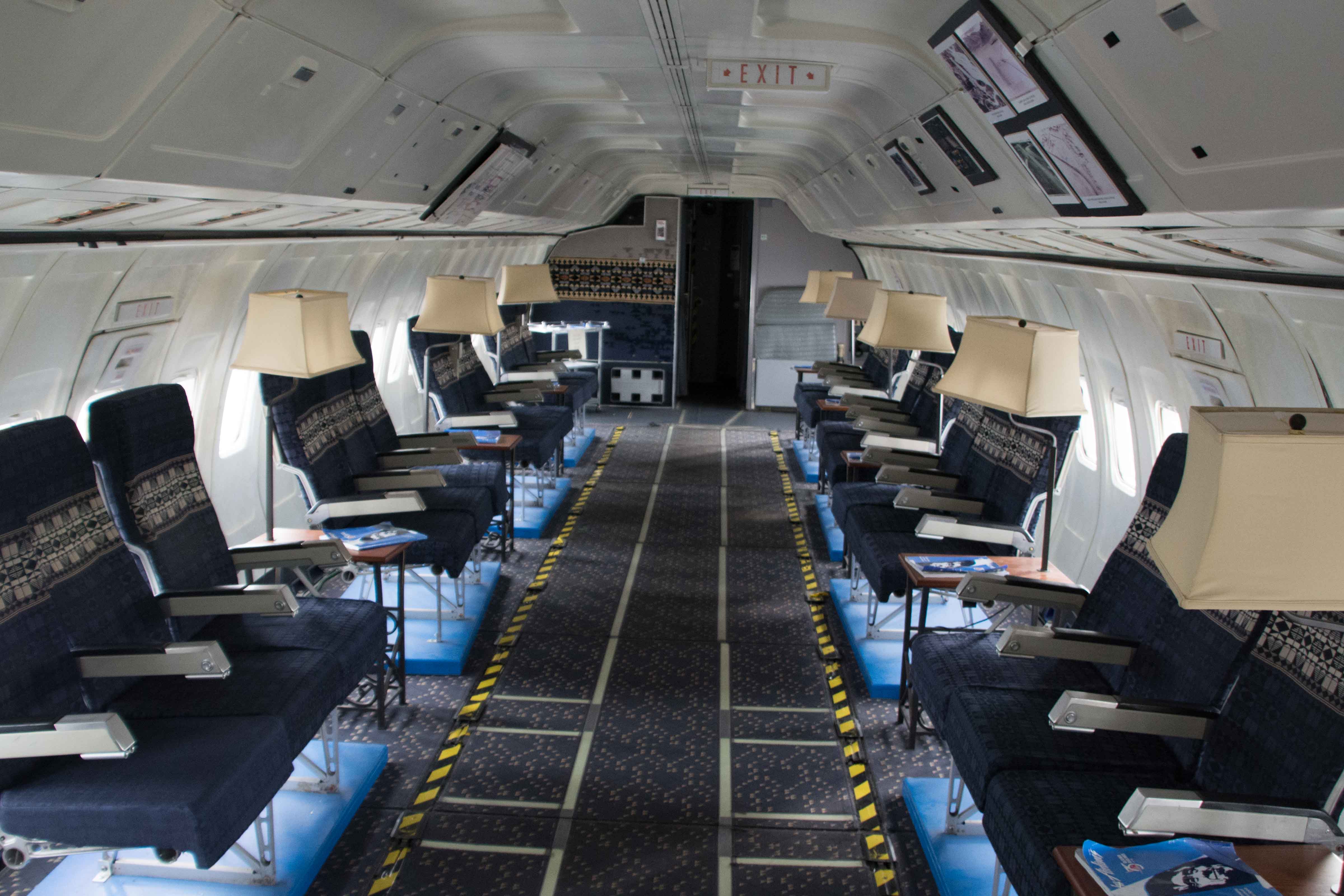
Guppy interior
In a third hanger, there are two or three disassembled planes, mainly fuselages with their wings taken off. The wings are set in wooden frames so that they were resting on their front or back edge, waiting for reconstruction. These wings had obvious bullet holes in them, like they had been shot down.

Wings waiting to be repaired. Note the gunshot holes
The Guppy is parked outside the buildings with a stairway allowing entrance into the craft right behind the pilots’ seats. Inside, the pilot and copilot chairs are on the right, and as you turn to the left, there is a kitchen area, and then the seats. The seat chairs sit facing each other, with perhaps eight seats on a side. Each has a floor lamp behind it giving it the look of a number of living room set side-by-side and face-to-face.
There are several informative films located in theaters throughout the museum.

Aircraft tower
There are even blue prints for local planes hanging on the walls in one hallway, including a Sopwith Camel. They are in the process of rejuvenating the original control tower, which is located on the grounds of the museum. I assume it has been replaced by a more modern version at another site as there are no people in it today to guide the number of sea planes that periodically take off down the channel area in front of us.
It is short (a couple of stories) but for the geography of the channels, I guess a taller building is not necessary.
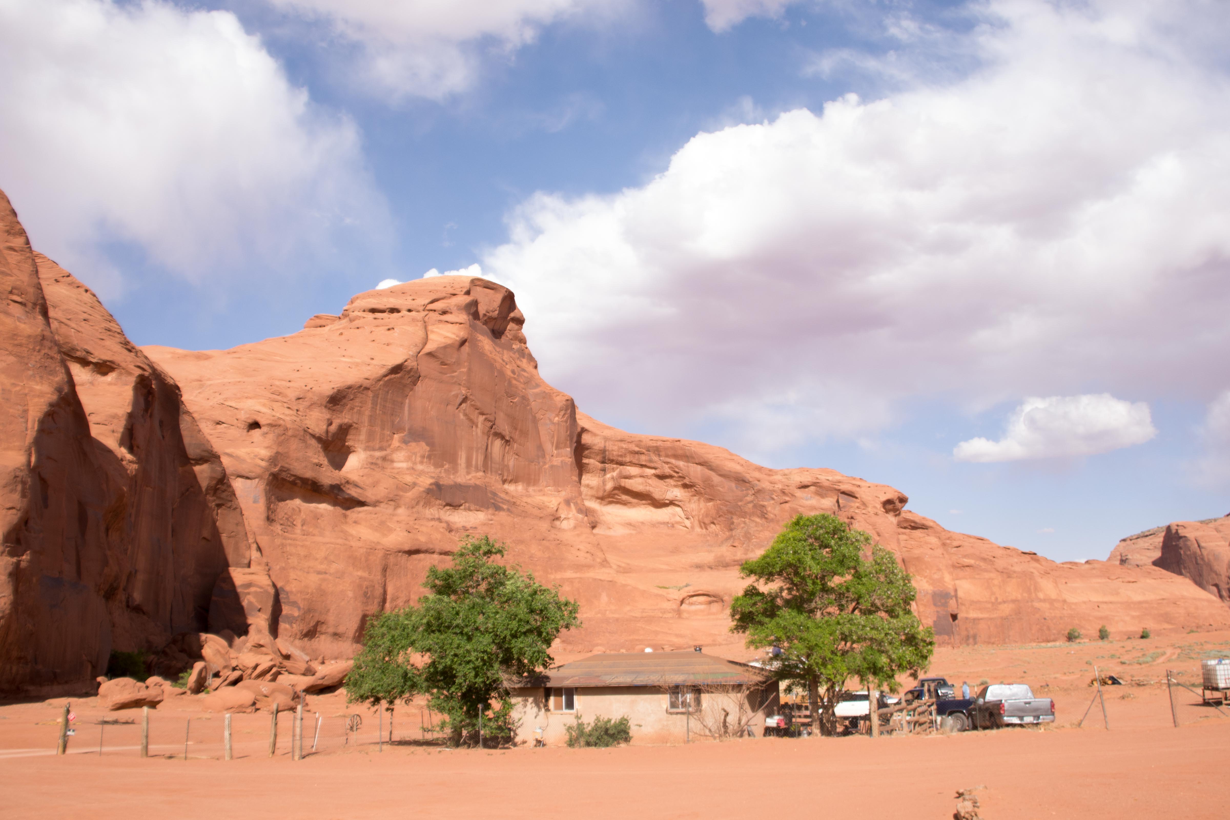
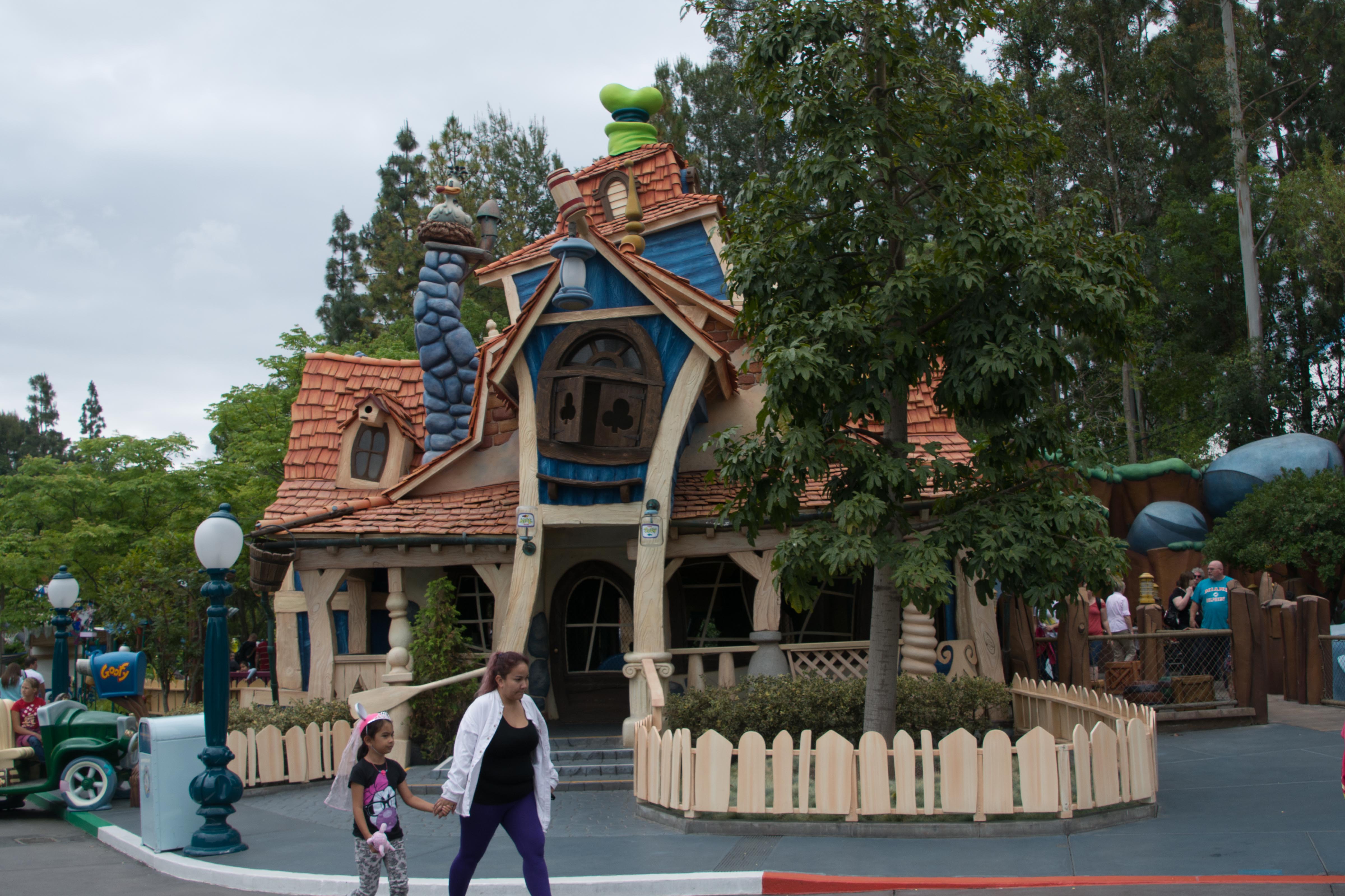
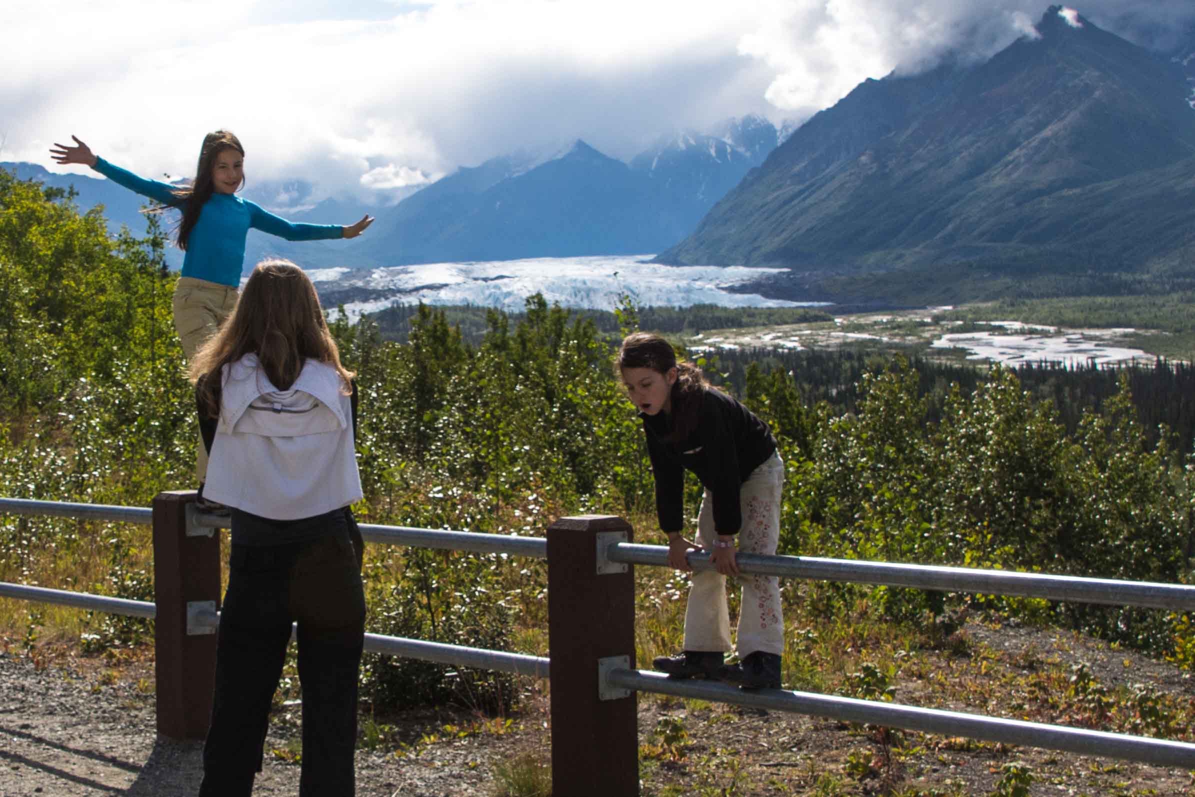
This afternoon, Marlene drove Gwen and me to the Alaska Wildlife Conservation Center, about an hour out of Anchorage.

Moose munching
They care for wild animals, bears, moose, linx, caribou, and bison that are brought in with injuries. The goal is always to restore the animal to the wild, but where that is not possible, they will either keep it for public viewing, or move it on to other zoos where it can be well taken care of.

Caribou in the Alaska Wildlife Conservation Center

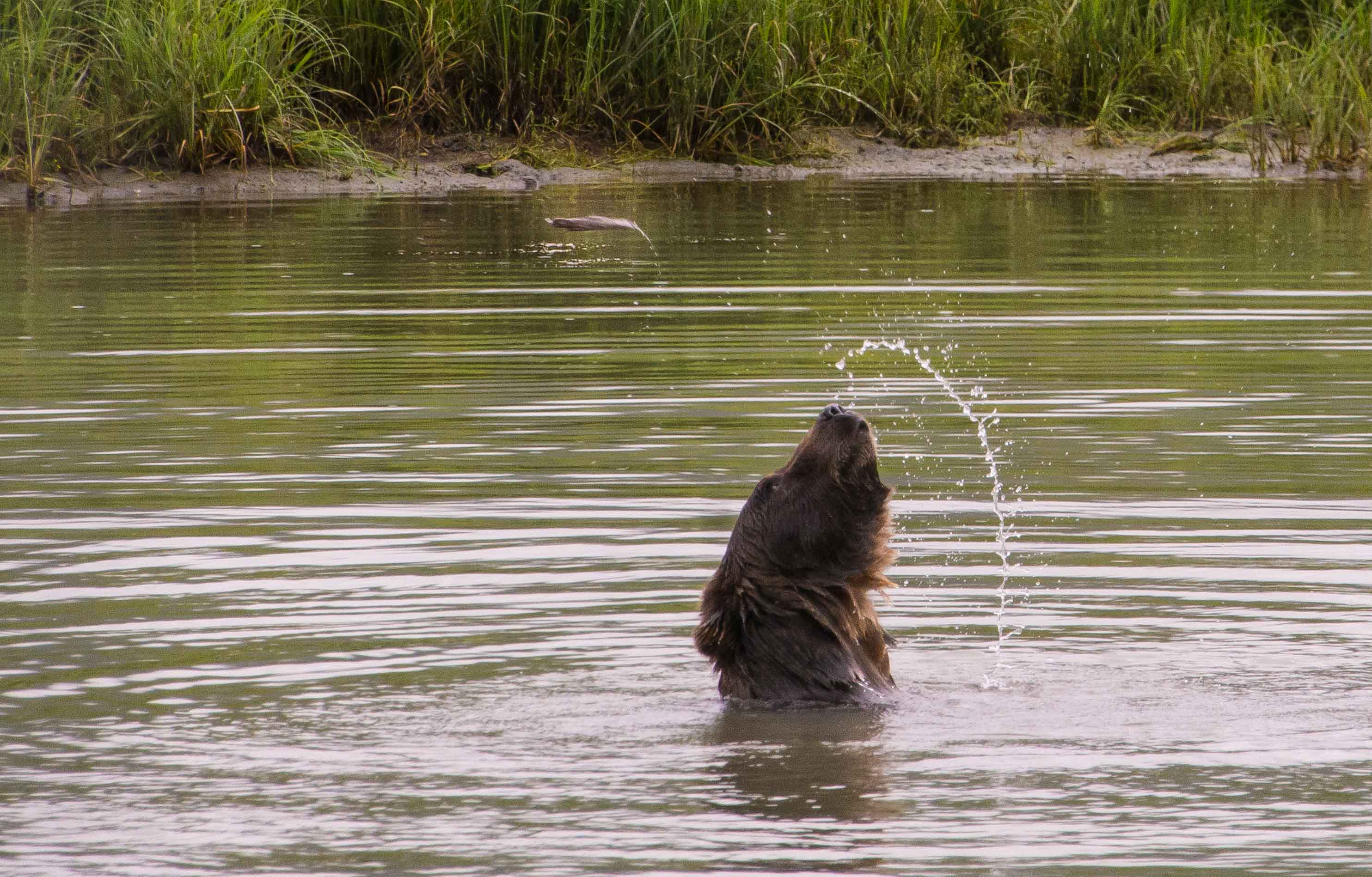
Alaskan Brown Bear
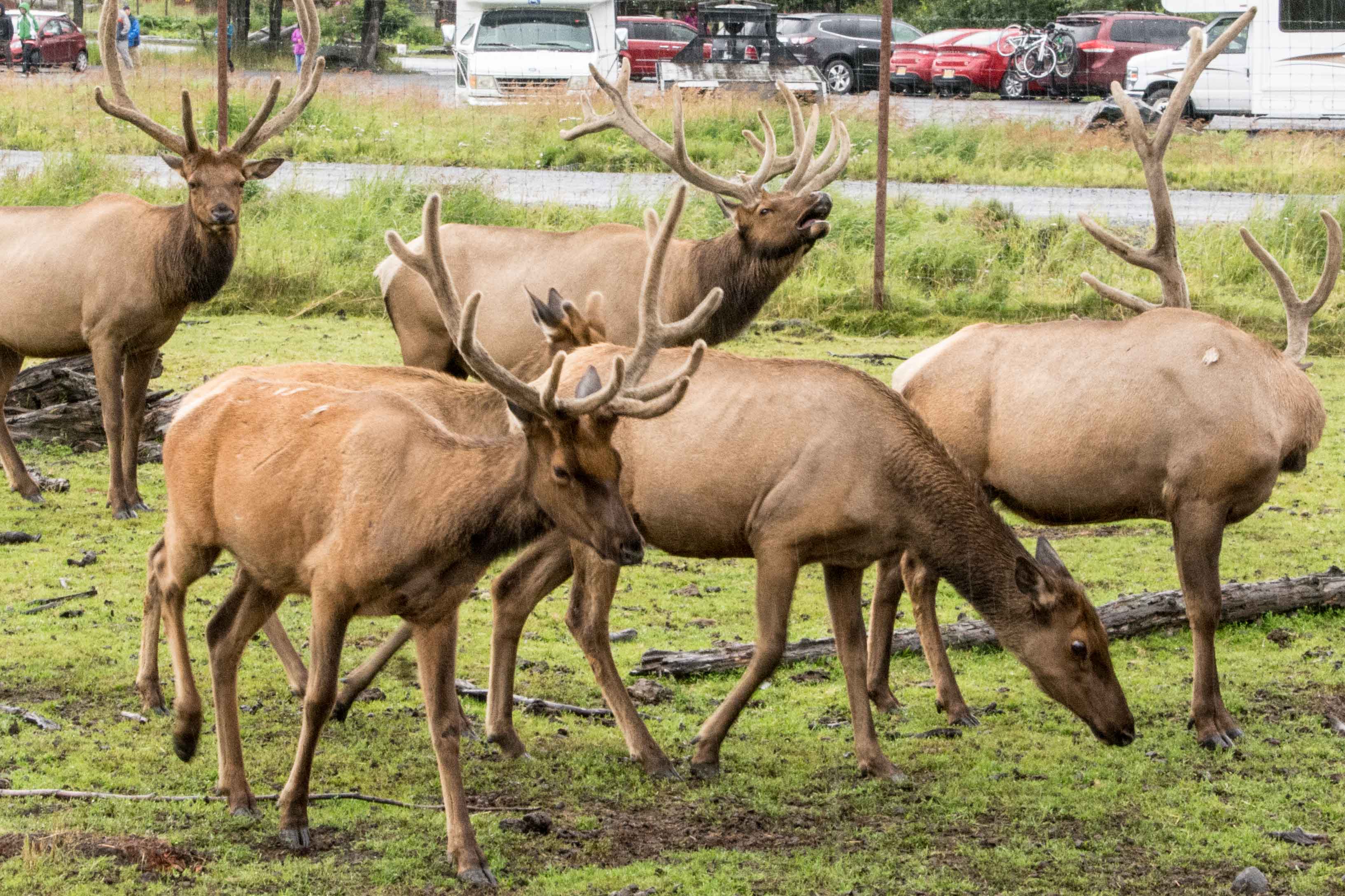
The first animals we came across are the caribou. Wow, even though I have taken quite a few pictures of these animals in the wild on this trip, I didn’t realize how big they really are. We walked into a barn like structure open on one side where the caribou were walking in for a feeding. The ones there are easily the size of a large horse. And with the antlers, they take up a lot of room.
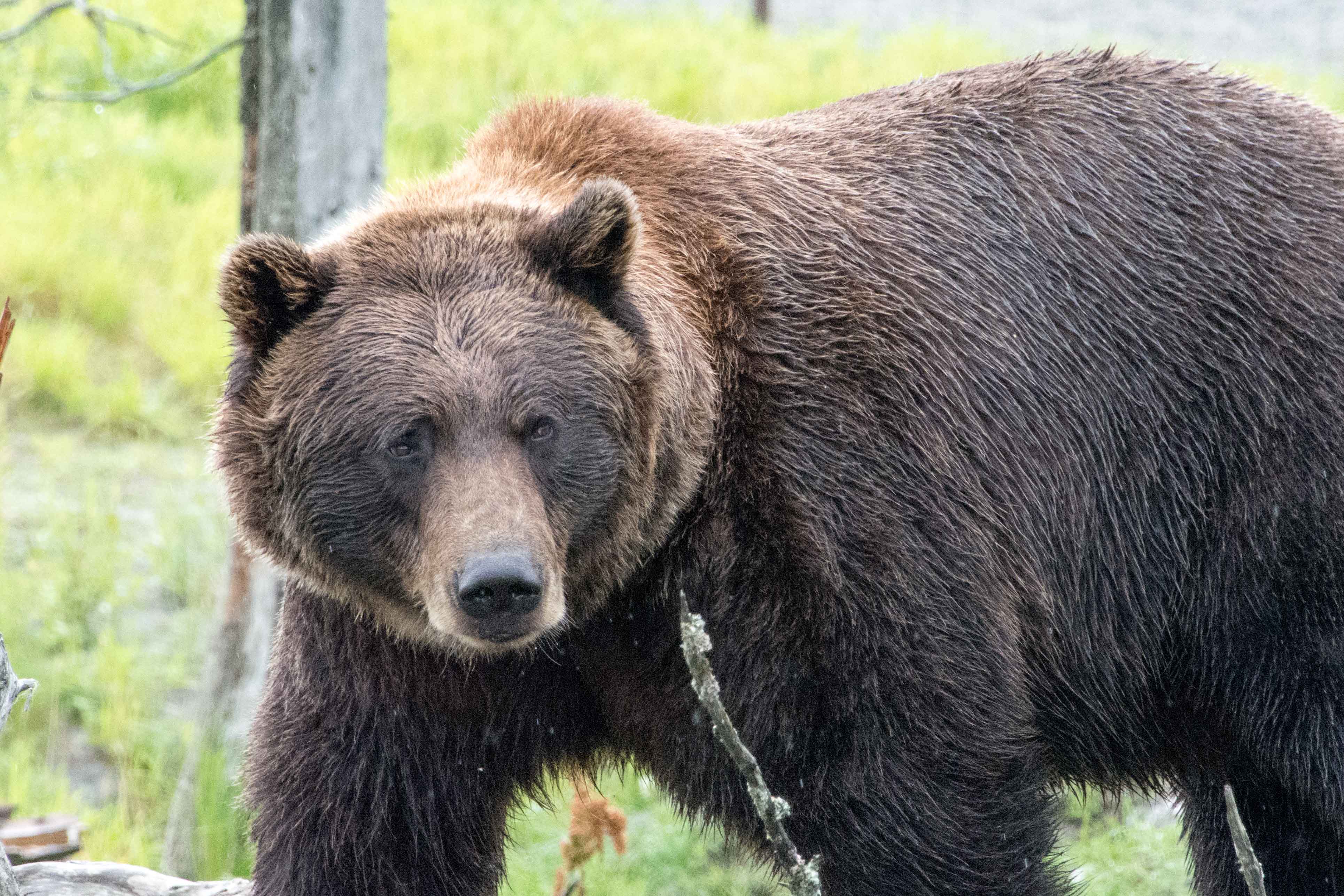
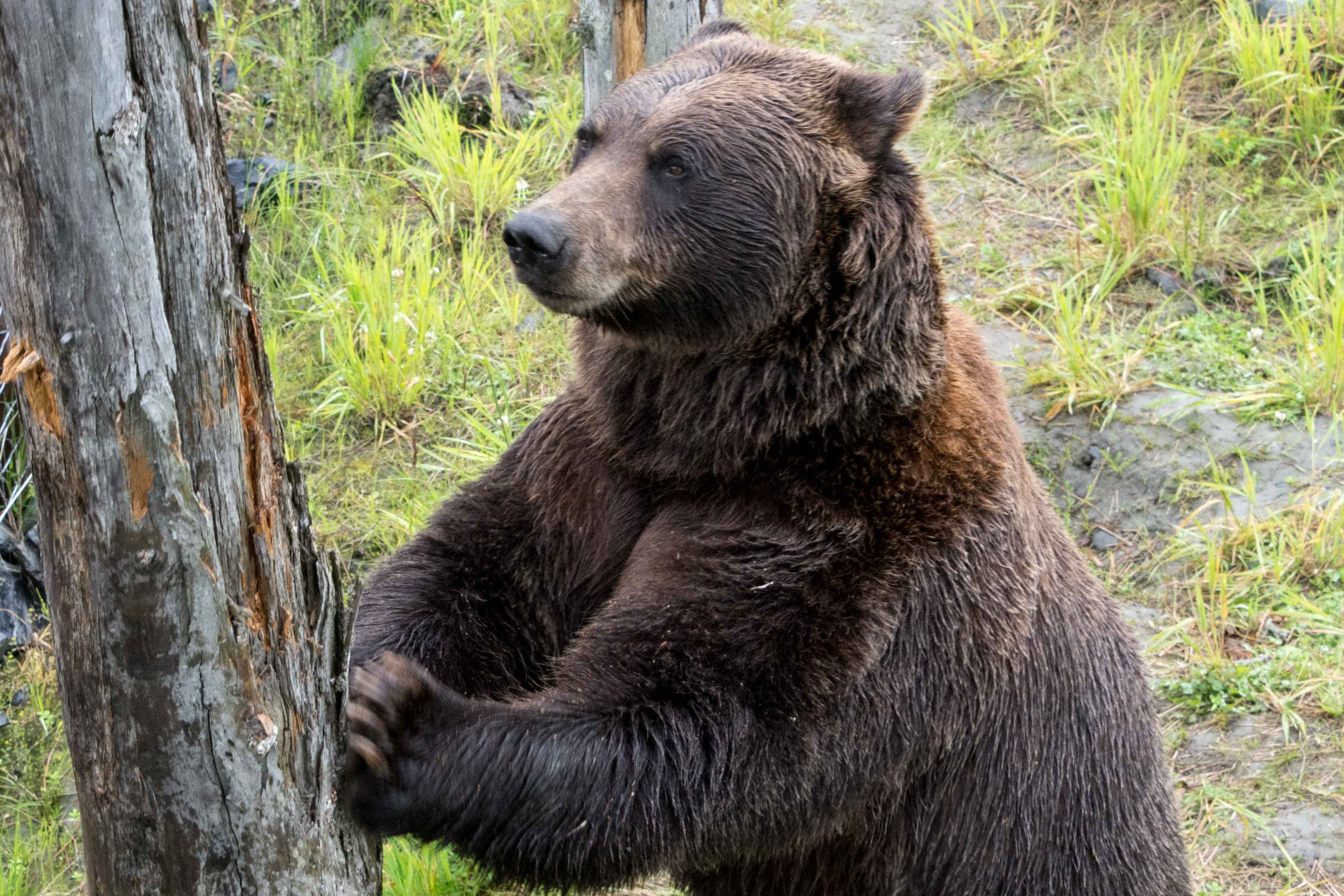
In the next area were the musk ox, They stand, slowly chewing their cud, not paying attention to the paying customers at all. Next up, the bears, black and brown. There is only one black one we see, and he is eating with his head facing the other way, so we really don’t get a good look at his face. There are three brown ones however, and they are quite active and entertaining.

Bear scratching post

Is he going climb it or push it?
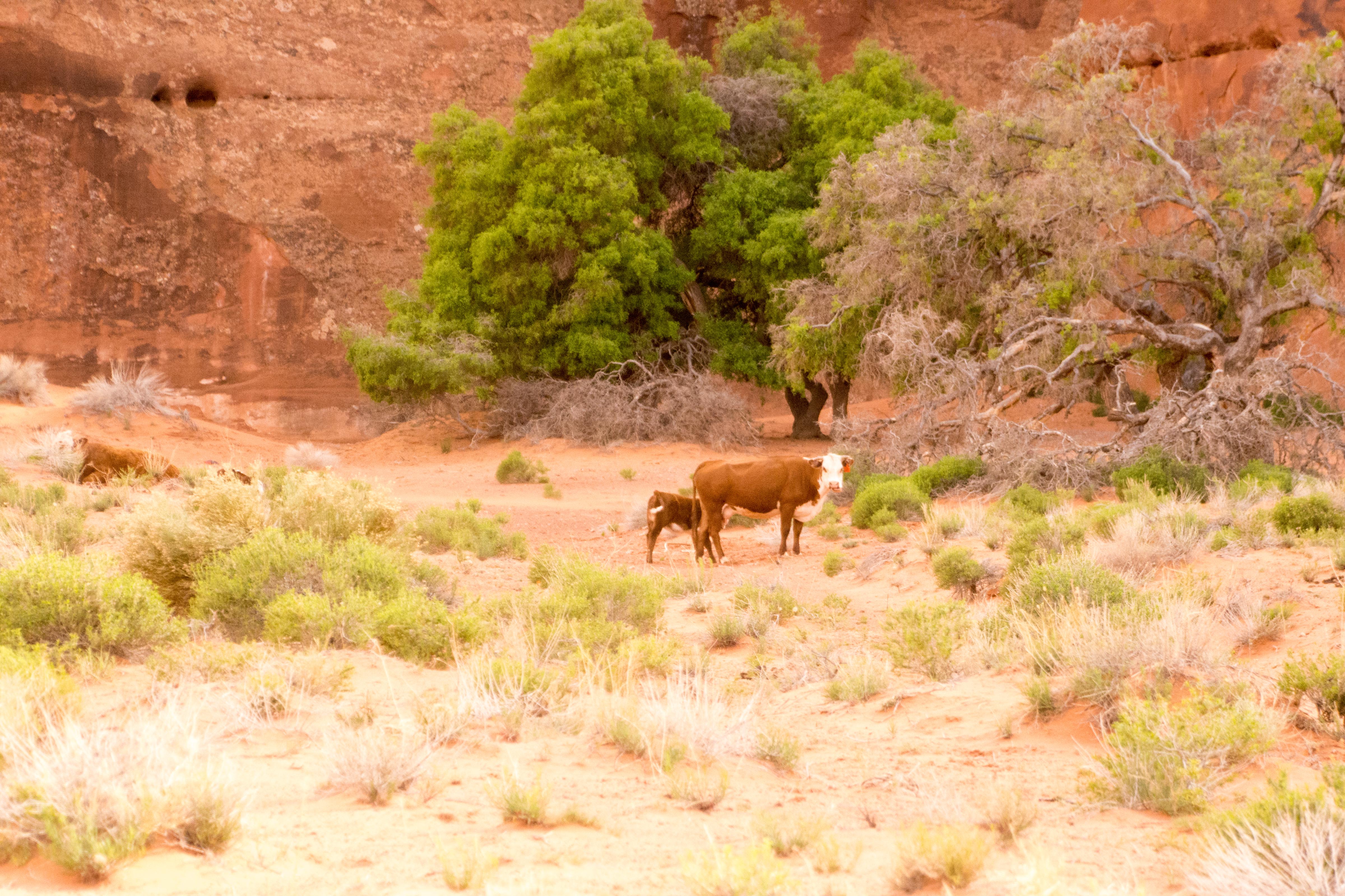
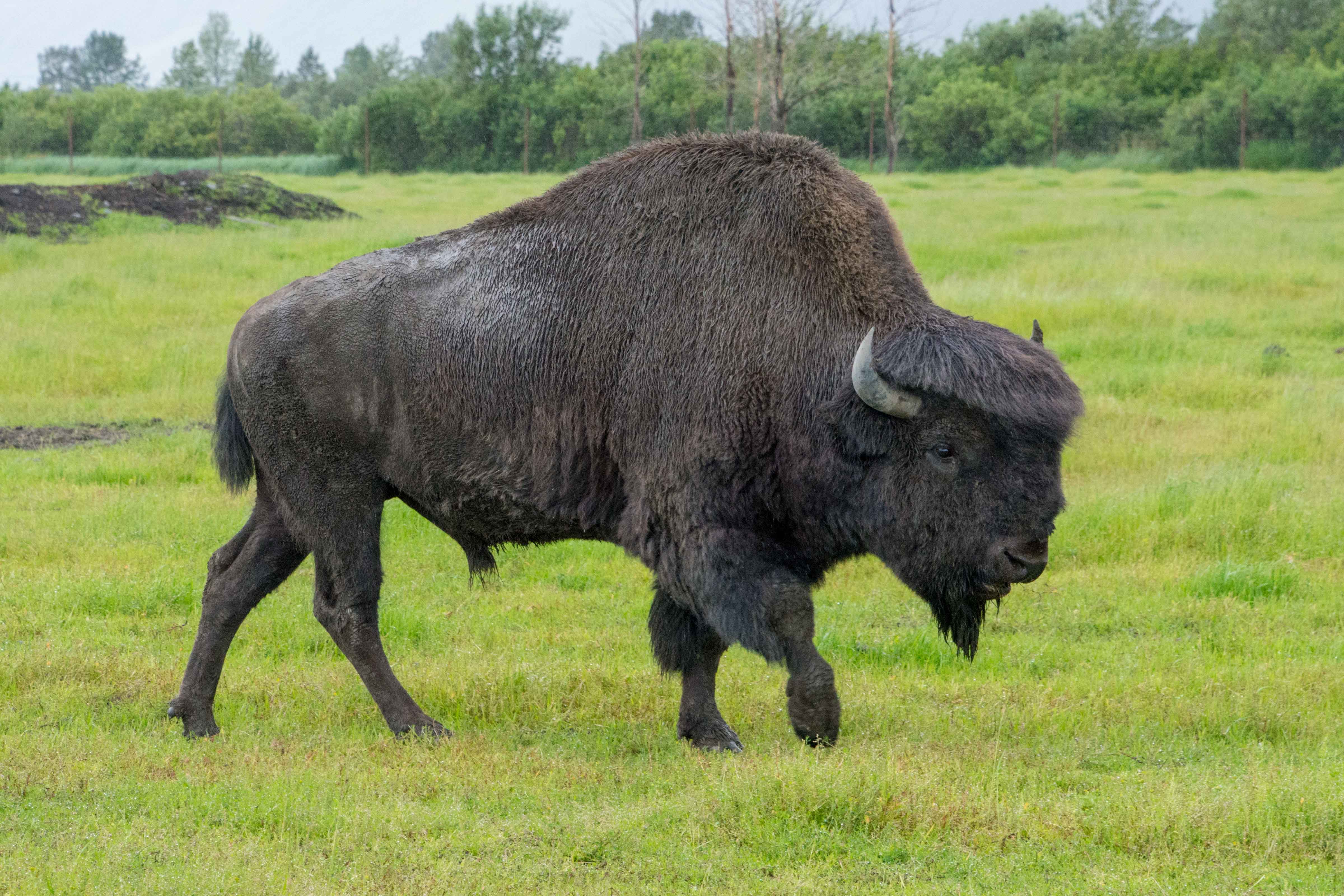
They have a number of medium size trees in the enclosure available for the bears to use. O ne of the brown ones used two of the trees near the fence as a combination scratching post and vertical wrestling bag. He would alternatively push into one of them, and then grab it around trying to push it over. Another brown bear was in the large pond, entertaining himself by tossing a stick up in the air and then retrieving it. It was fun to watch. A separate enclosed area contains got a couple of moose, lazily munching the patch of grass they are standing on. Another large animal the Conservation Center works with are North American Wood Bison. We saw a whole lot of these, as they are breeding them for release back into the wild next year. The first release site is in the interior of Alaska, but not too far in.

Where did the stick go?
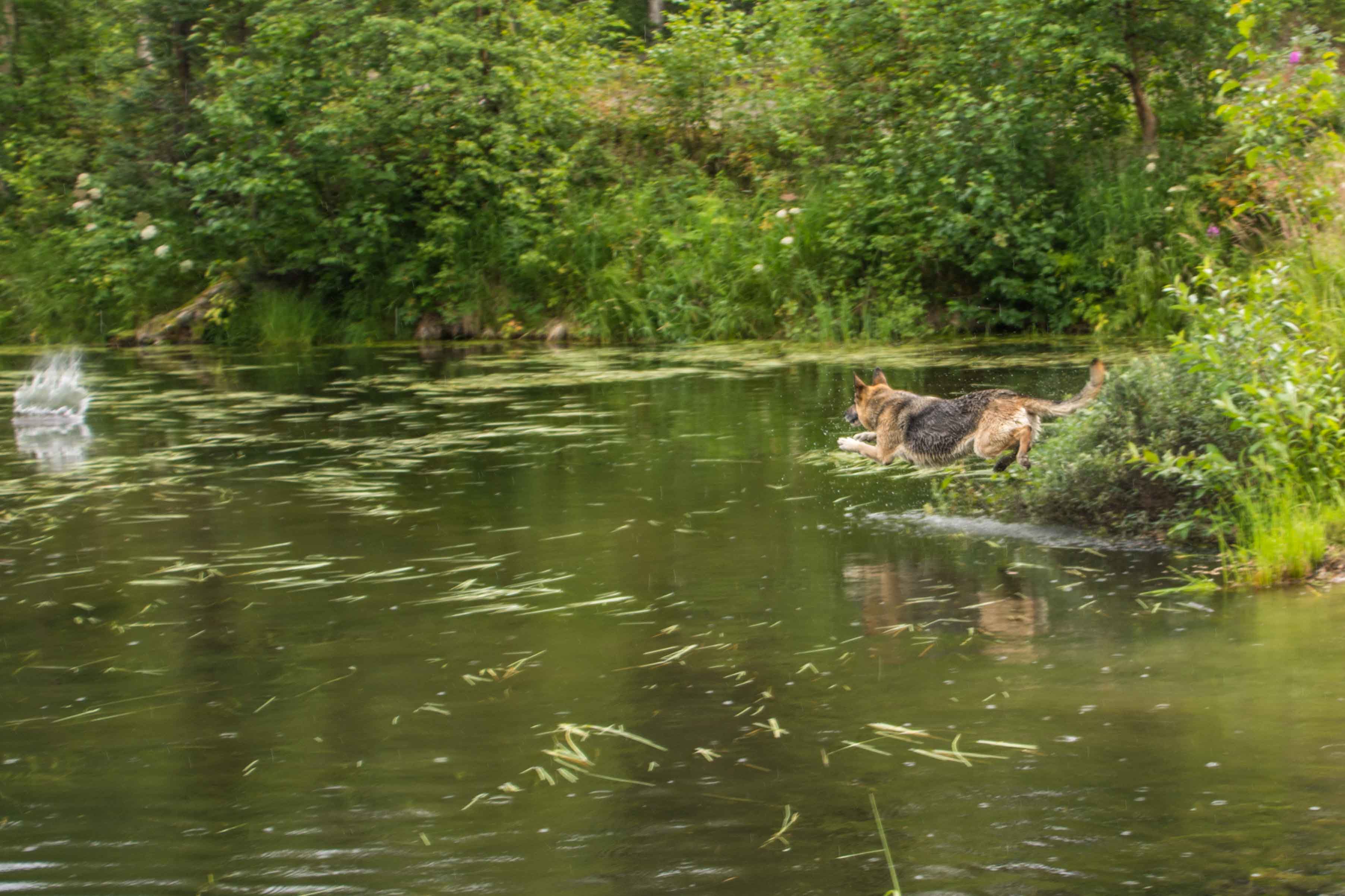
There are two linx in a cage we got to see, watching them as they were fed. One is a youngster, just being introduced to the older one, who has just lost her sister of many years. In the another large cage nearby is a fox who looked very much like the one we had seen in Denali walking along beside the bus.
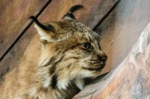
Linx
On the way to and from the Conservation Center we went along beside Cook’s Inlet which is very wide, but not very deep. Lots of the bay area was sand, as it was closer to low tide than high tide, but we could see on our way back an hour or so later that the water was coming back into the bay. The weather was strange, although perhaps not so strange for Alaska. It was cloudy and dull in Anchorage, but not raining much. As we got to the Conservation Center about 50 miles south of Anchorage, the rain was really coming down. Coming back to Anchorage, the rain eased off, and disappeared altogether by the time we got back to the hotel. The clouds climbed down the mountains that surrounded us, showing a low ceiling we could see as we approached. We passed by Beluga Point where the whales of that type are supposed to be easily seen at the right time of year. We stopped, but didn’t see any.

North American Wood Bison
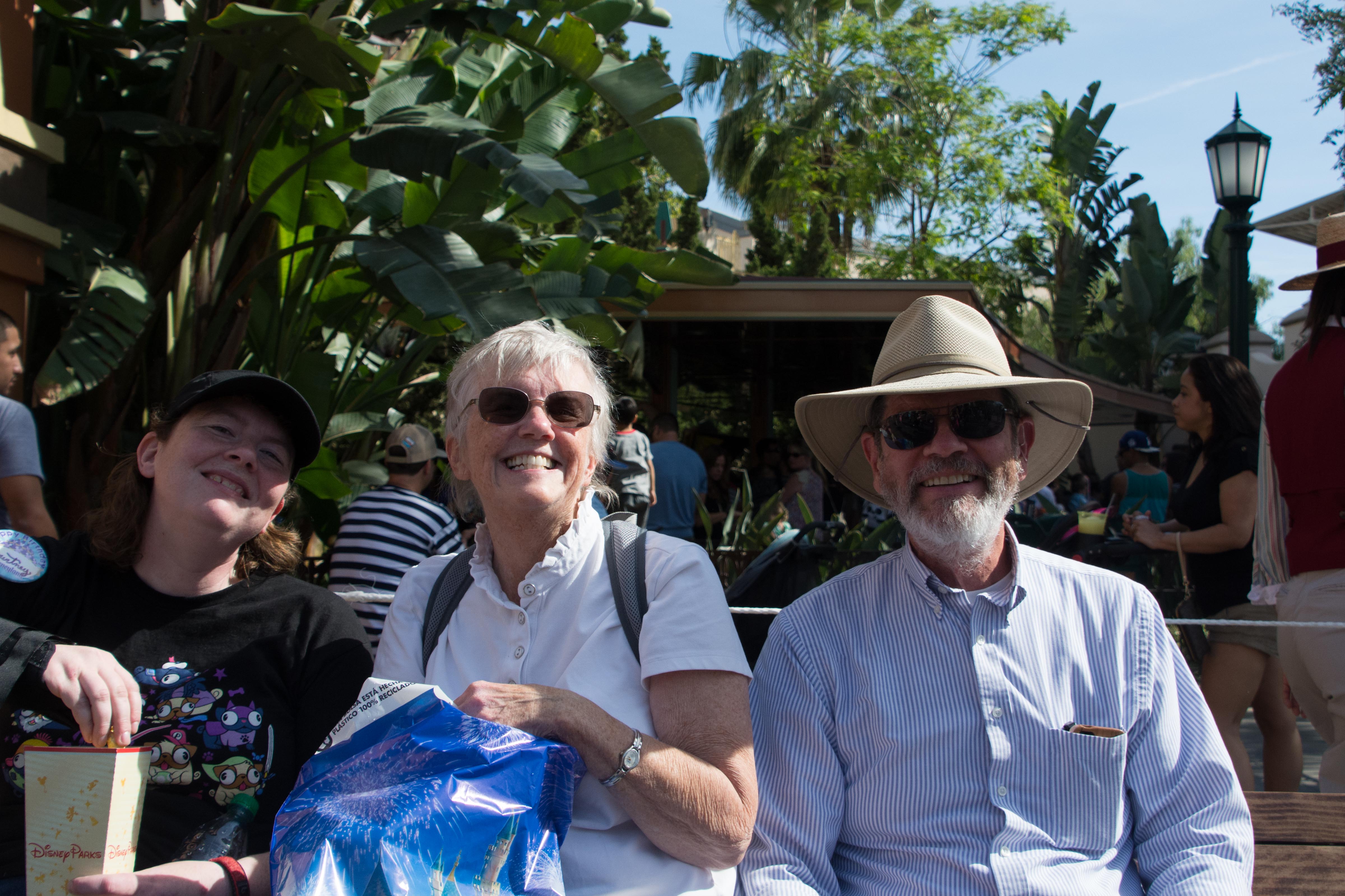
This evening, we’re going to eat with the Sherman family across the street at the “Famous Aviator” restaurant where we ate breakfast. It should be fun. Milton, the father, has an interesting structure for a science fiction novel he plans on writing, and we look forward to discussing it.
8 August 2014 — Rainy and cold, cold and rainy
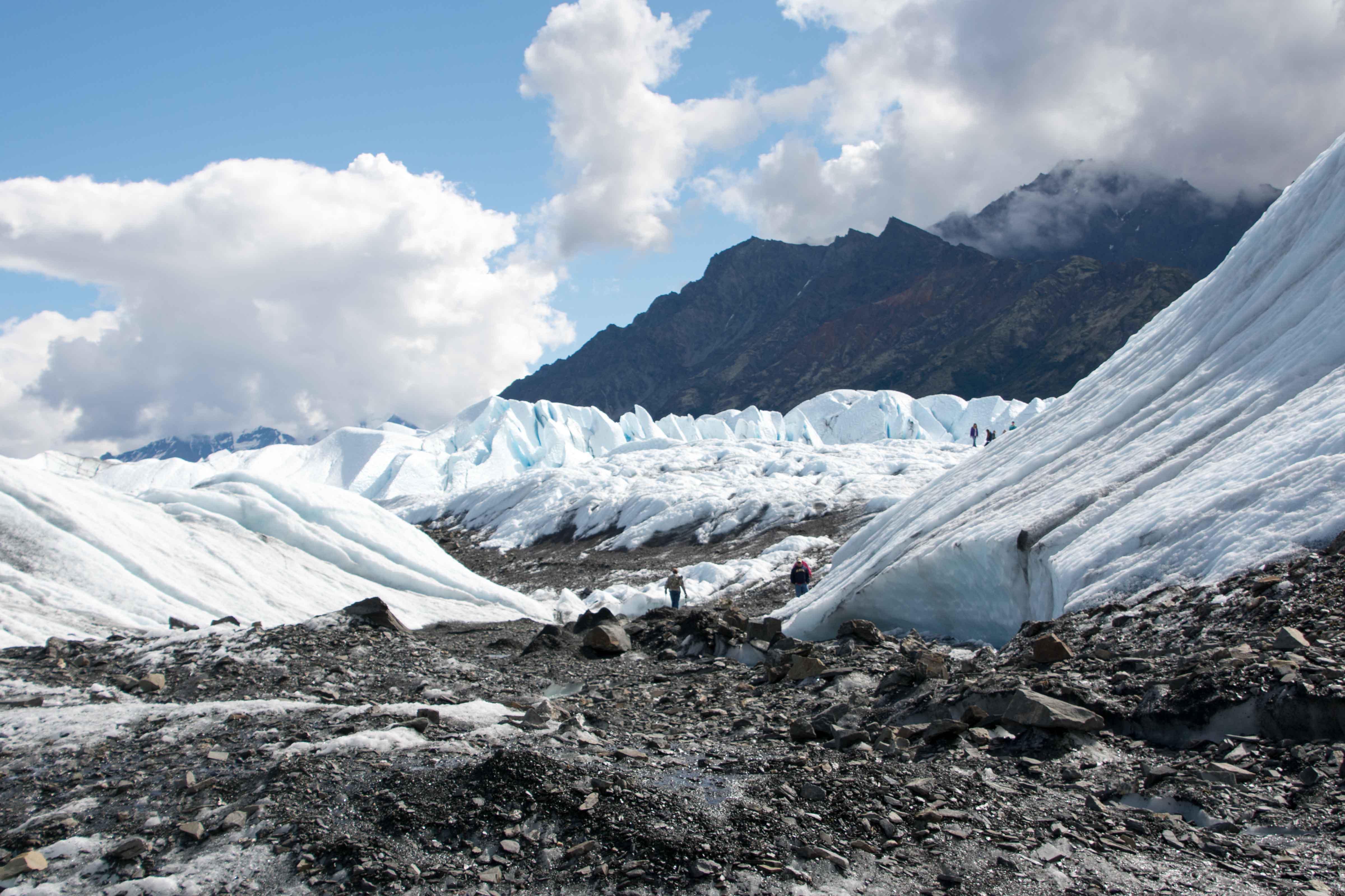
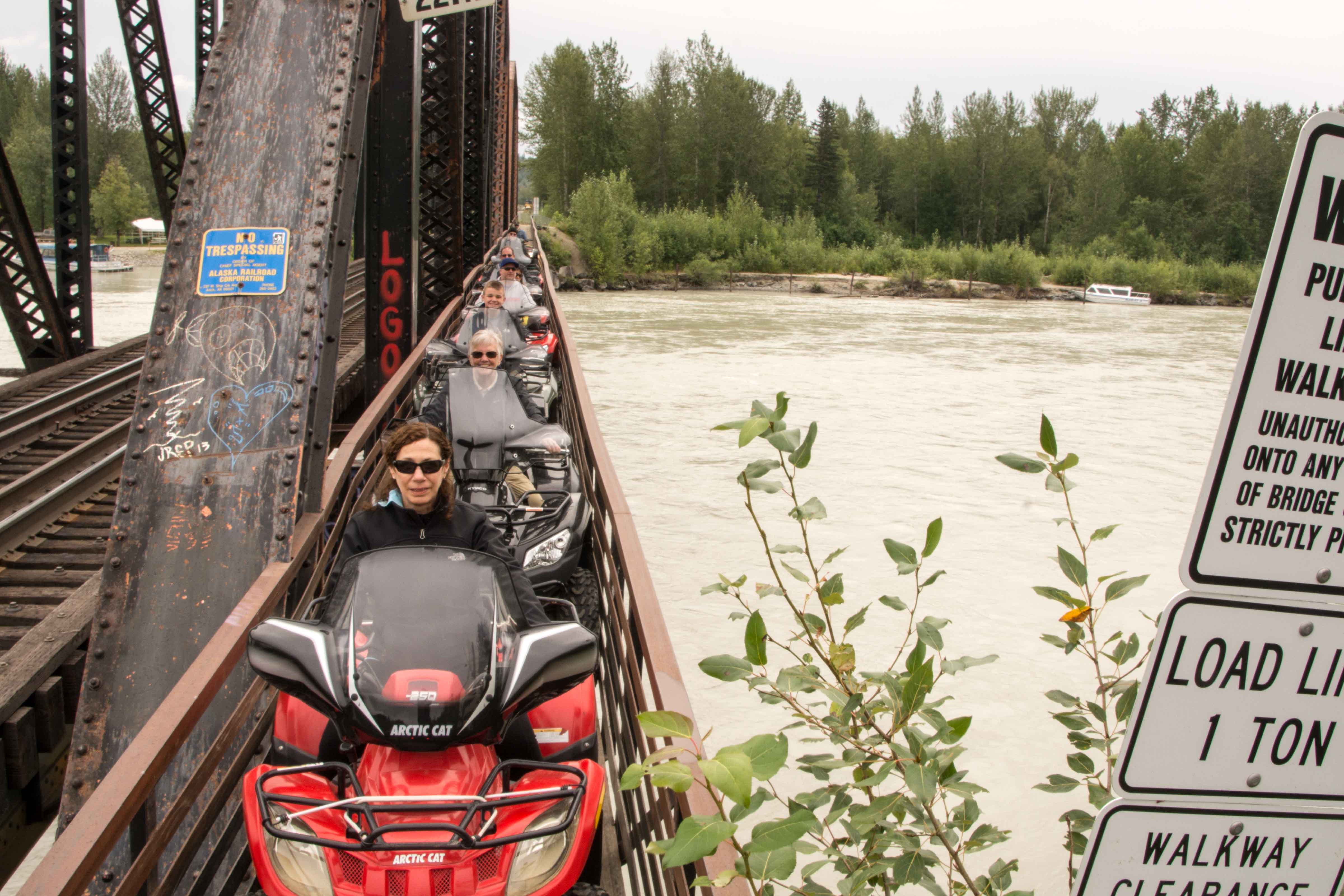
Today is the rafting trip at and around Spencer Glacier. This is just a little bit further than the Conservation Center, but out the same way, along Cook’s Inlet. But today’s trip is to be by railroad. We had of course seen the track yesterday as we had driven along. Since we had ridden the Alaskan RR before, we also knew that it was not a fast trip compared with travel by bus or car. So it was no surprise as we started out at 8:30 am that it would take us until at least noon to get to our destination. The train was very comfortable, and was similar to the other rides in that there was a talking conductor who was happy to describe for us what we were seeing along the way. The company we were taking the trip with showed up at one of the first stops.

Enough padding?

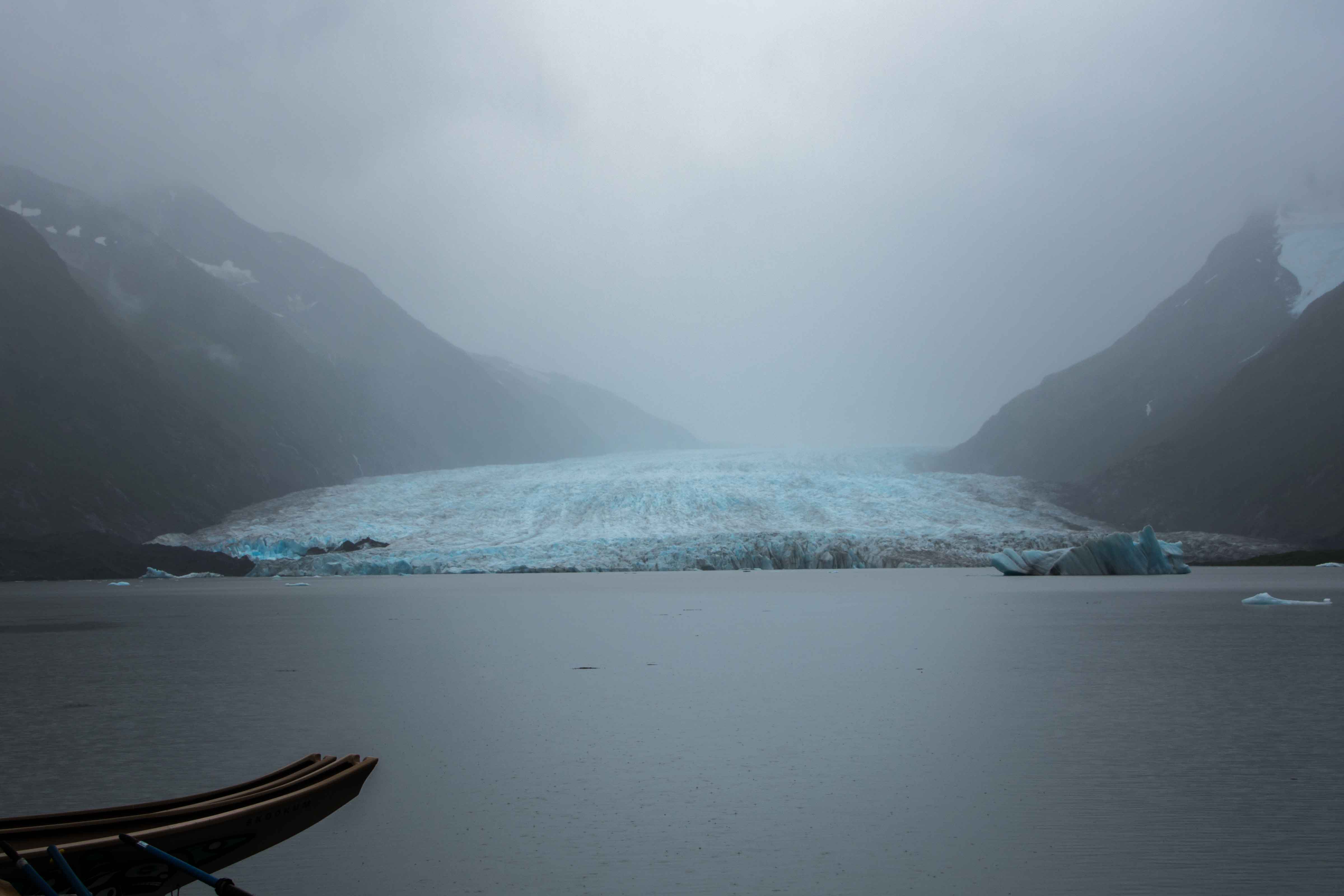
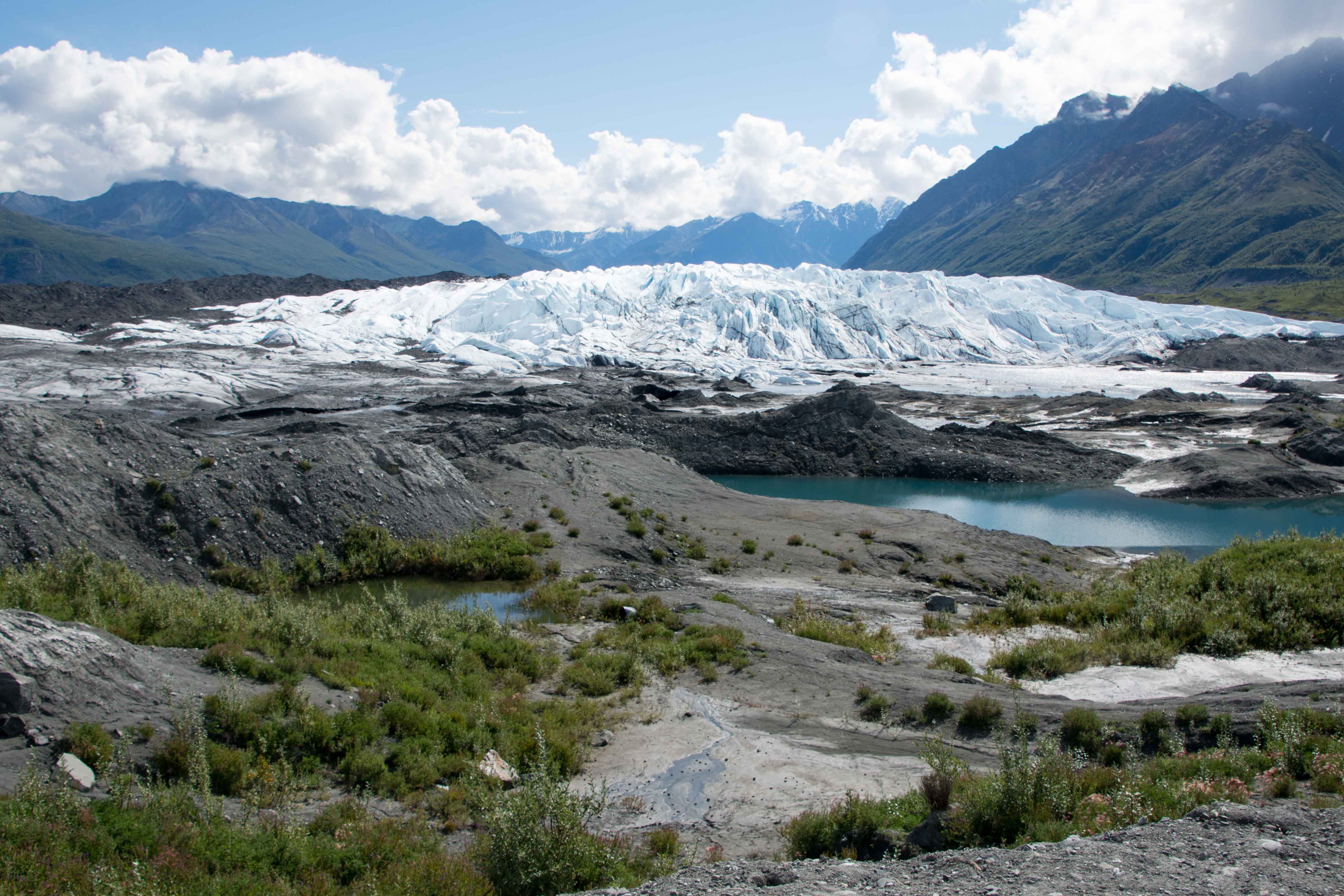
Spencer Glacier, in the rain
Their representative started to fit us for boots, and answered questions. One of the questions had to do with the weather, as where we were at the second stop was windy and rainy, cloudy and dark, oh yes, and cold! The guide equivocated: the weather around the next mountain (where our destination apparently was) could be quite different than the obviously difficult weather we were seeing. When were we going to be there? Oh, in about an hour…
Well, it was two hours and three more stops before we got to the Spencer Whistle Stop, our goal. And the rep was right, the weather has indeed changed somewhat for the better.

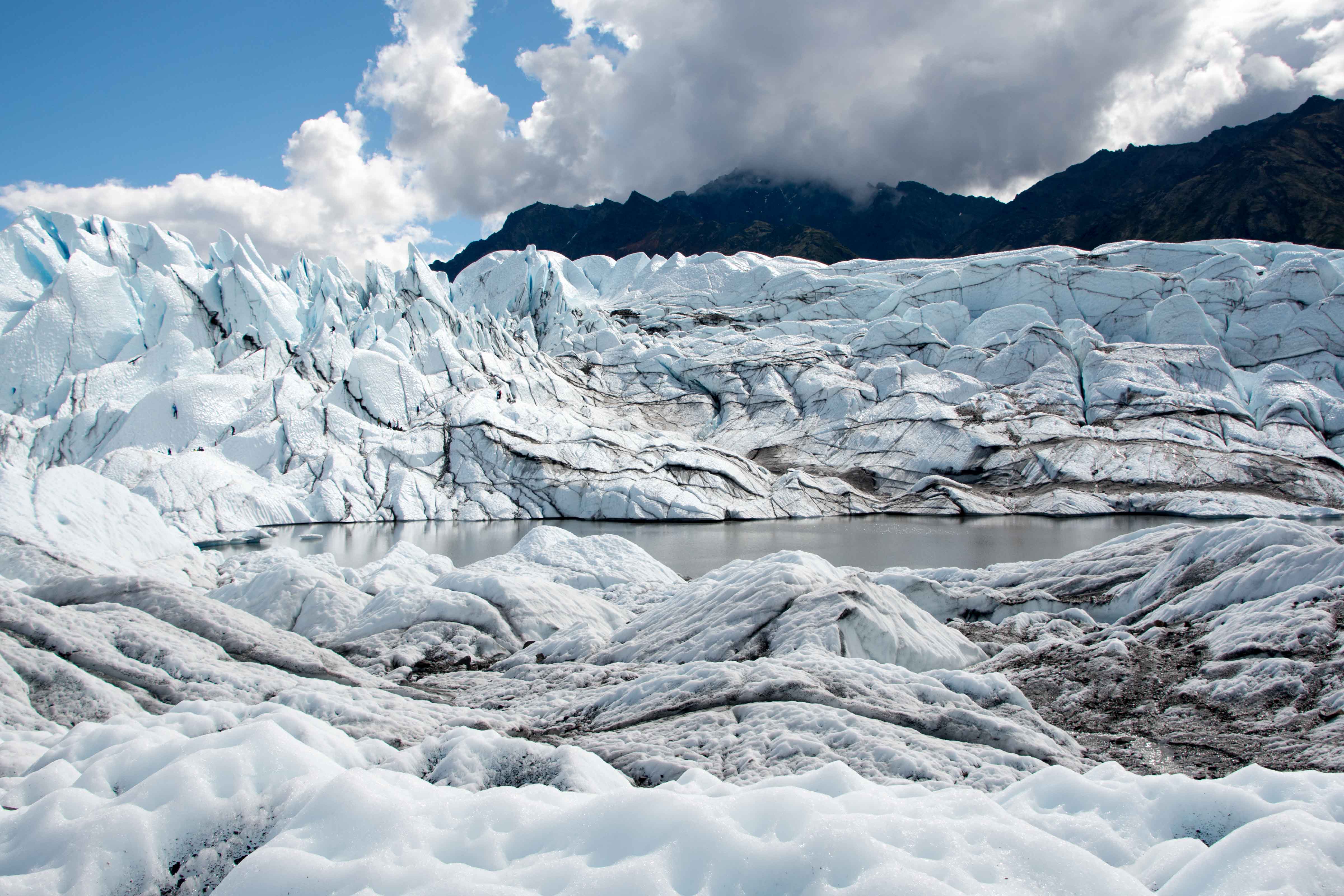
Out on Spencer Lake
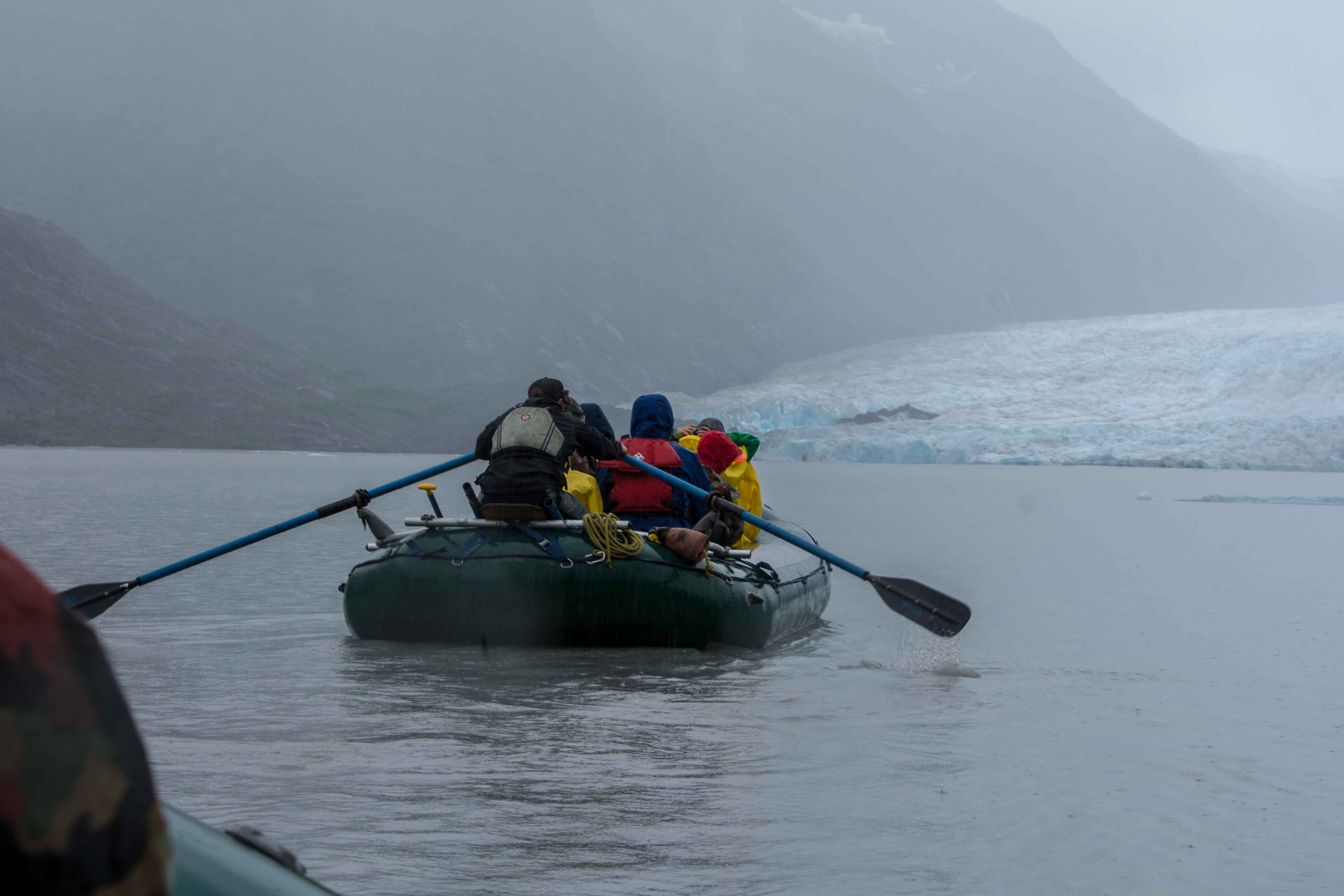
It is brighter and while not clearing, the whiter clouds appear to be higher. So off we get, and dutifully go to get our life preservers, and eventually ponchos on as well. We are already wearing the boots we received on board the train. So to our bus we go, and it takes us a couple of miles to the shore of Spencer Lake. The lake is populated with icebergs, large and small, clearly calved off of the glacier which dominates the opposite shore. Immediately in front of us, however, were rubber rafts, five of them. They are our immediate transportation, and the task at hand is to get on board without getting too wet. Our party of 12 (now among a group of about 30) is divided into two rafts, six each, with Adam volunteering to share a raft with the Herrens.

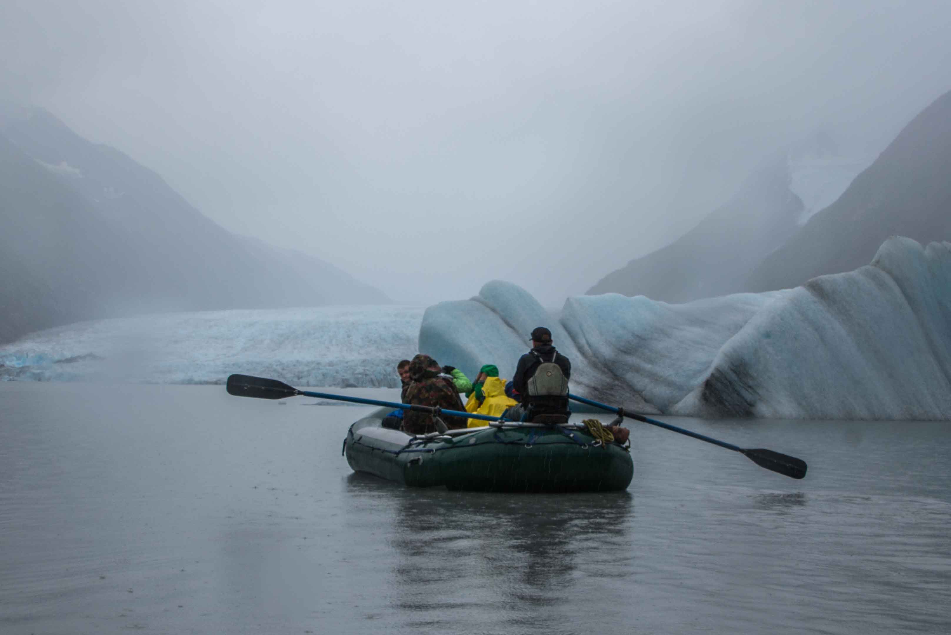
Plenty of icebergs to steer between
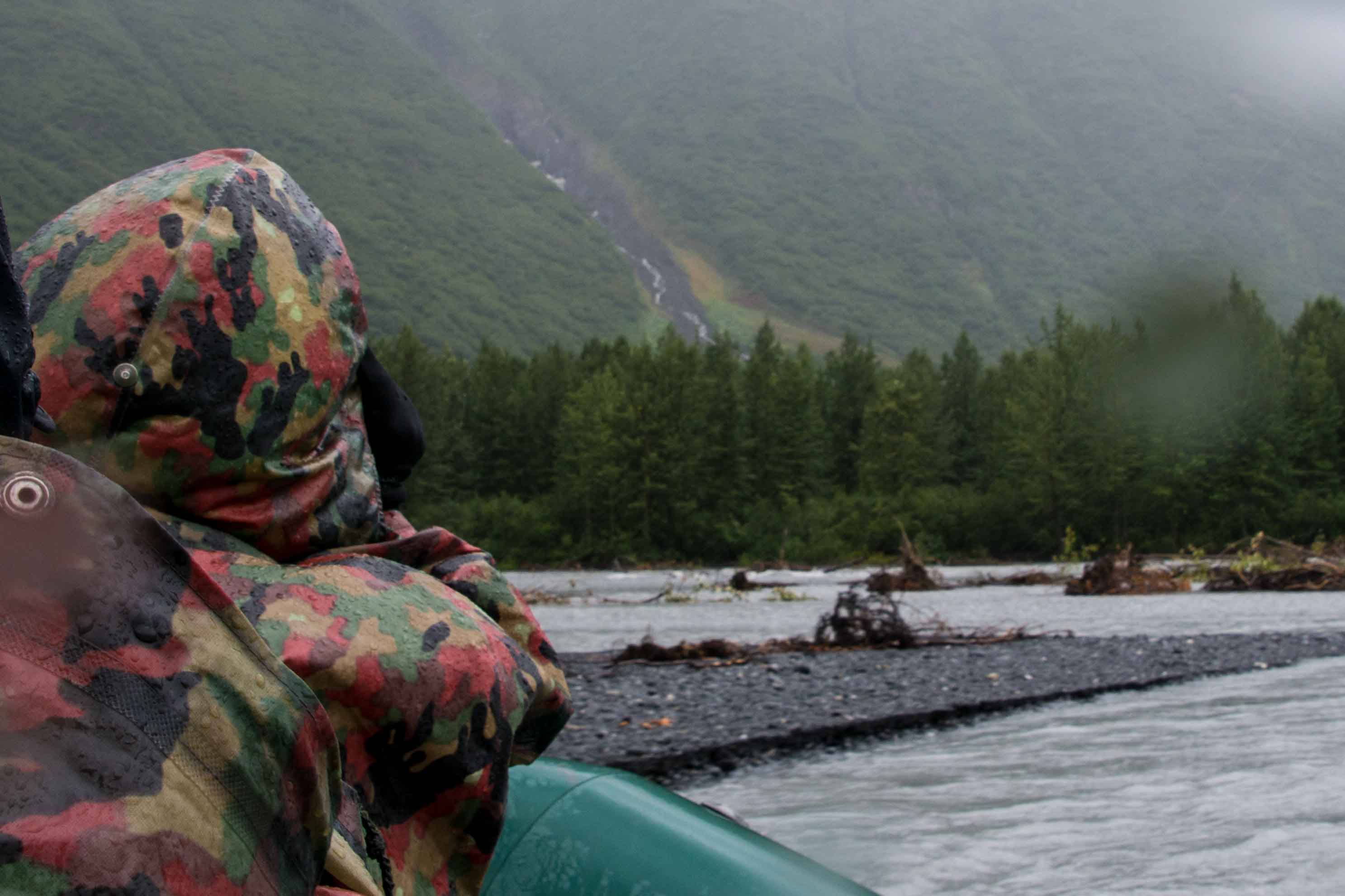
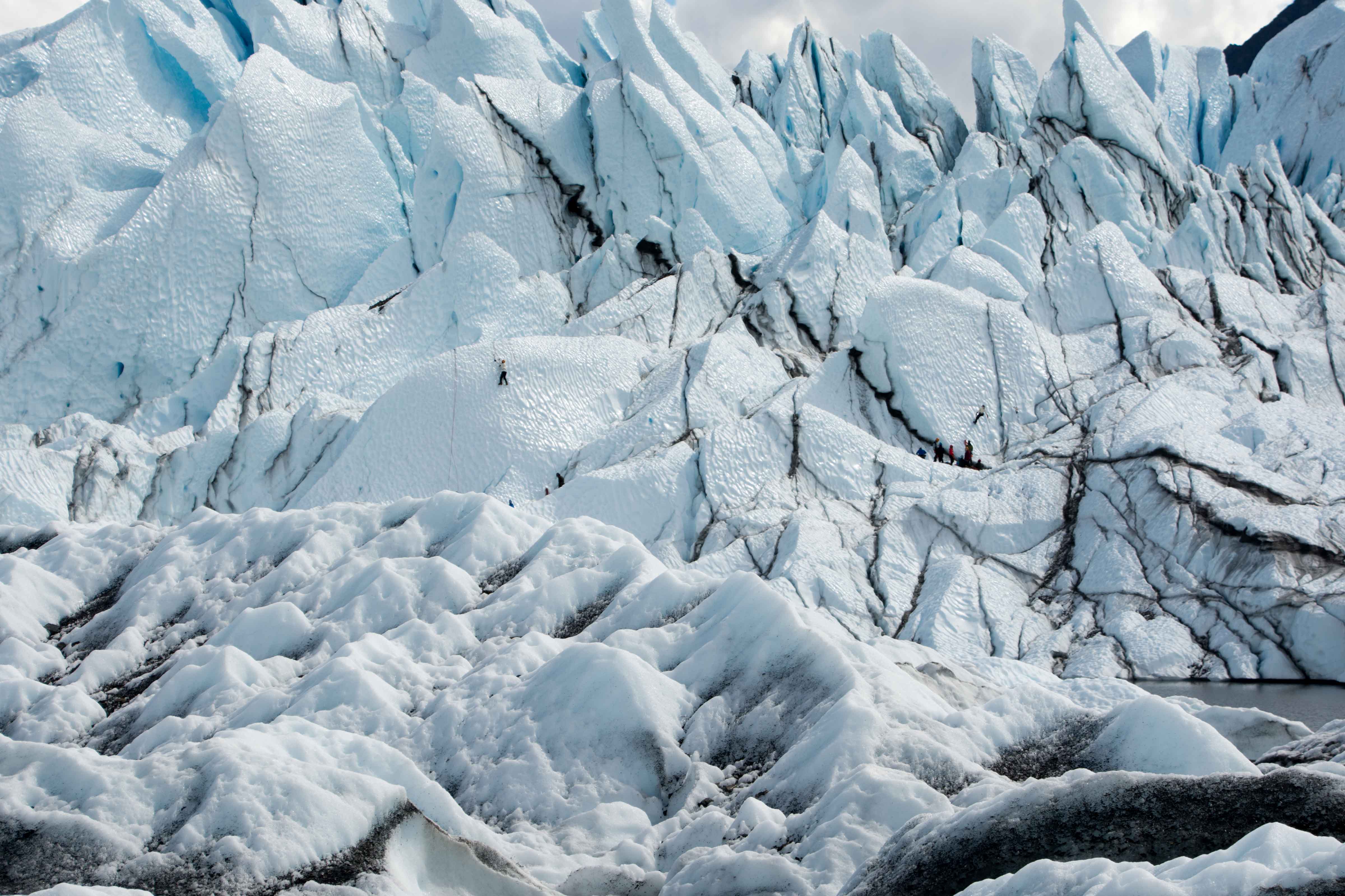
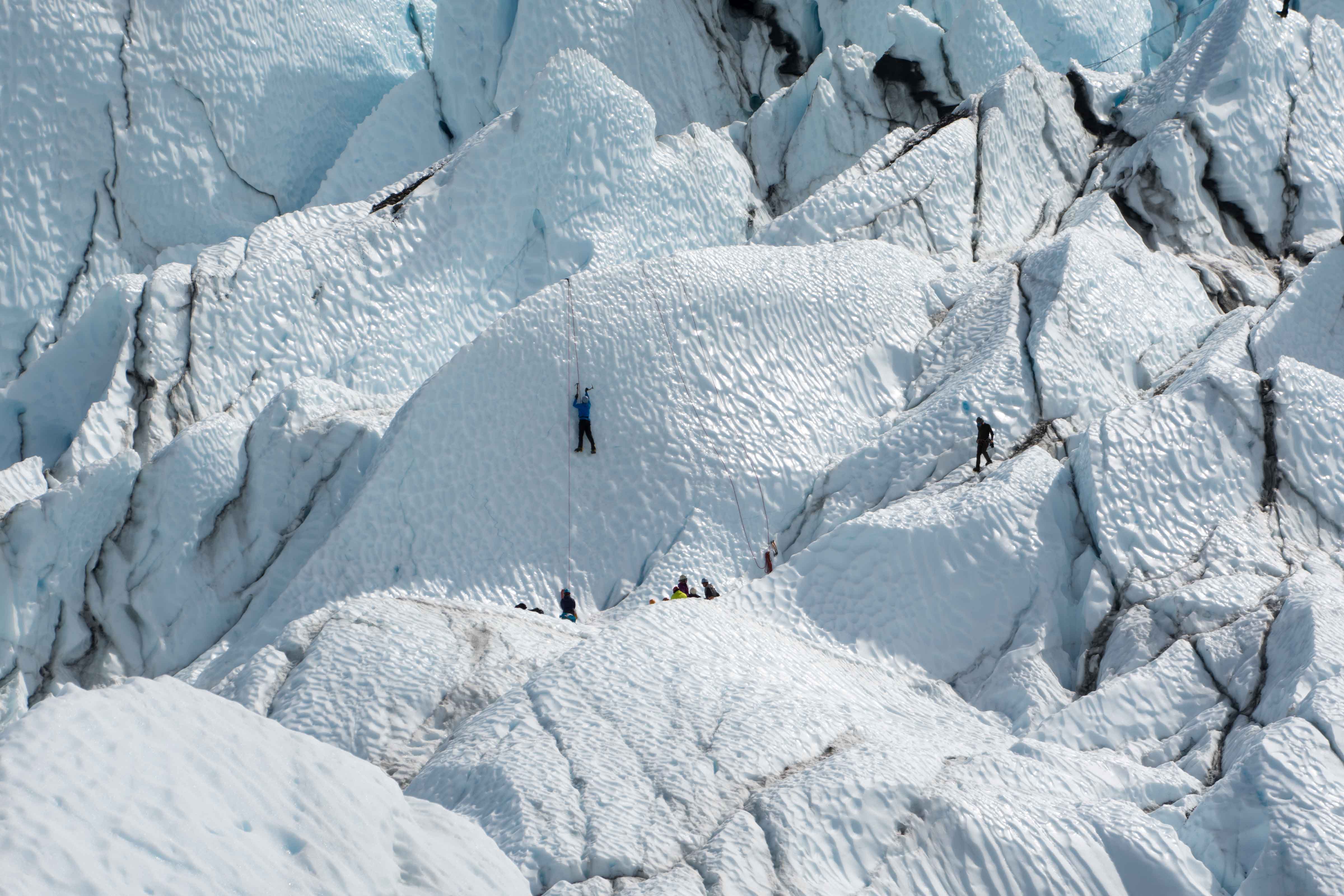
The guide in our boat, Gus, is the acknowledged rookie, this being his first season doing this. No stranger to outdoors living, nor to the area, he tells us he grew up within 30 miles of here. He tells us he qualified very easily for his current job. This quiets our fears a bit. The large rubber raft has three rubber cylindrical seats set across the middle, with a large rubber oval frame surrounding a heavy bottom underneath it all. Mitch and I took the rear-most bench, so Gwen and Robin had the central one, and Chris and Joy the front one. Gus sat on a wood and aluminum platform which put him above the rear end of the raft, with a long oar to each side. From this position, he steers and when necessary, powers the boat with the oars. As it turns out, he really is quite expert at maneuvering the craft. He took us up to several of the larger icebergs, giving us a good look, and at least a couple of times allowing us to touch the ice. The rubber rafts bounce off of the icebergs without a problem, and give us close looks at the blue ice. We don’t approach the glacier itself for some reason, but probably to avoid getting clobbered by calving ice chunks.

Running the rapids below the lake
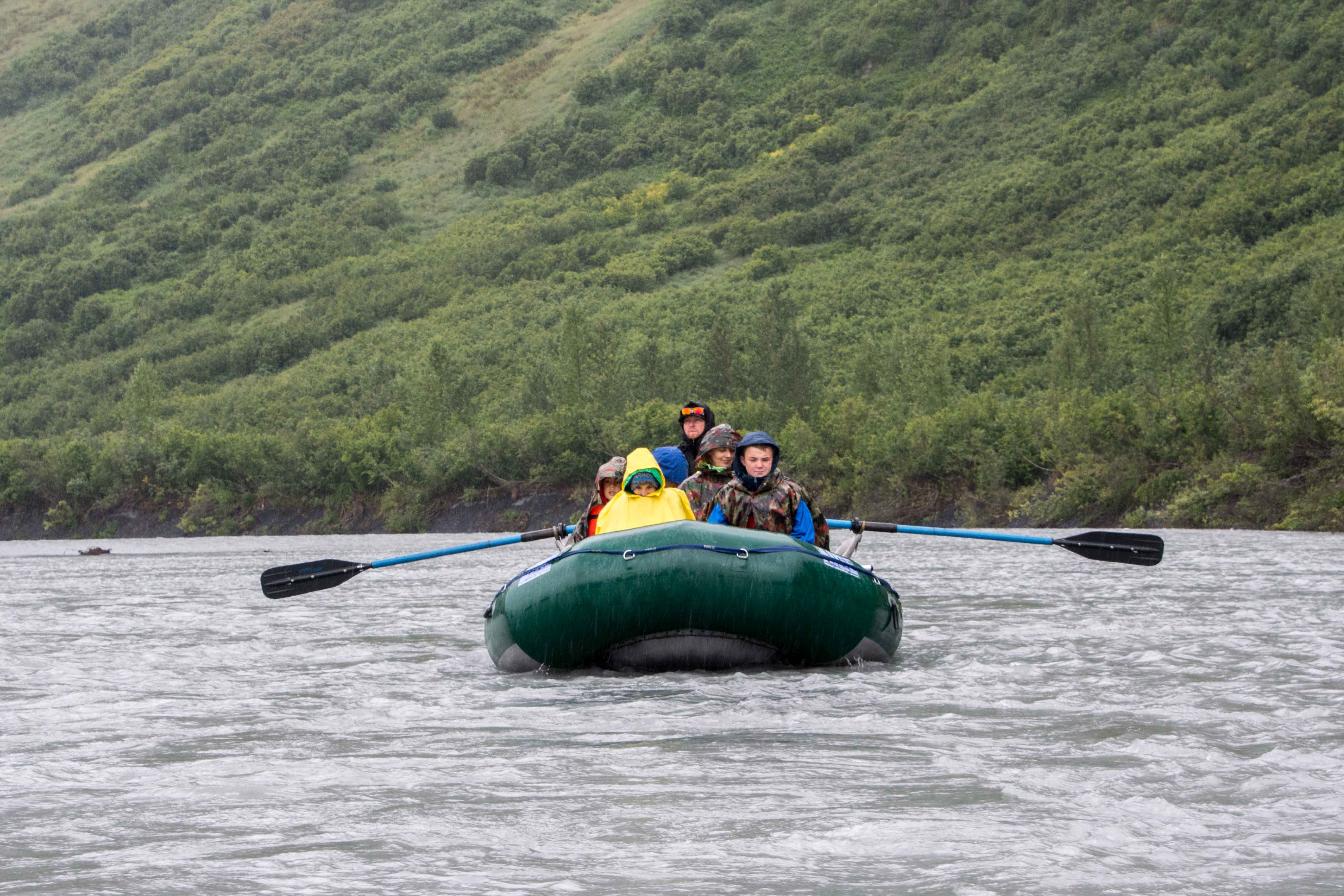
After about 45 minutes floating around among the icebergs, we ‘find’ the river mouth and float into it. Almost immediately into this leg of the trip, we encounter mild rapids (class 2-, we were told). This bounces u a bit, adding some excitement to the day. The extra stimulation is a useful diversion, as the weather is worsening, the rain is getting more insistent, and the wind is picking up. The dark clouds are back, and my feet are freezing. I have the uncomfortable feeling that maybe I have water in my boots, although that turns out when I finally get to take them off, not to be the case. The difficulty was simply that the rubber boots were very good conductors of heat away from my feet into the cold water collecting around the edges of the raft. Just about this time, Gus announces that we have about another hour to go. This didn’t make anyone particularly happy, but there is nothing to be done. Gus did a good job navigating us, as well as trying to describe what we were able to see around us, in part I think to help us keep our minds off the rain. At a point down the river, we come upon a beaver dam on the left hand side. It is clear that the beaver is still manning it, as the part of the river to the left of the dam is about a foot higher than the part we were traveling through. Unfortunately we don’t see the beaver, although Gus assures us that others before us have.
Gus announces the half hour and fifteen minute marks, to increasing cheers as the rain is getting heavier and heavier. We end up at a piece of shore which is very close to the railroad track (about 20 feet of shore separates water from track).

Falls coming down into the river. Note also the number of trees in the water
There is no platform for the train, only a set of aluminum steps by the side of the track. This whistle stop is not far from Portage where we got off. On the shoreline, there is a set of purpose-built steps laid down to help people get off the rafts. After each raft unloads, it is disassembled (the oars taken off and the aluminum and wood frame guide’s seat is detached), and the rafts are piled up on the side of the unloading area. We await the train, which comes up along the track where we are standing around shortly after the last raft is unloaded, stopping at just the right point to allow us to get back on board. The train takes us back to Portage, and from there, we got on a bus which in about an hour brought us back to the train station we had started from in Anchorage. Albert and Marlene are there waiting for us, and they bring us back to the hotel. After we have a chance to change our clothes and warm up a bit, we all go out to Nova’s, a restaurant nearby where we get some exceptional Italian food, and a chance to celebrate the great adventures we have had.
We say our goodbyes at the hotel once we get back, and prepare to go back home.
9 August 2014: Home again
Gwen and I get up early, and after meeting Albert and the Sherman family downstairs in the hotel main room, make our way to the airport bus. The plane rides back are uneventful, although we get a bit of a scare when the plane from Dallas to Chicago is delayed due to storm activity in the area. We get back to Flint airport at 11:30 pm, but our bags have not accompanied us, so we have to deal with the paperwork necessary to have them tracked down. Our driver is very kind about the delay, and we make it home shortly after 1:00 am. Fortunately the bags do show up the next day, and so we are truly home and dry.

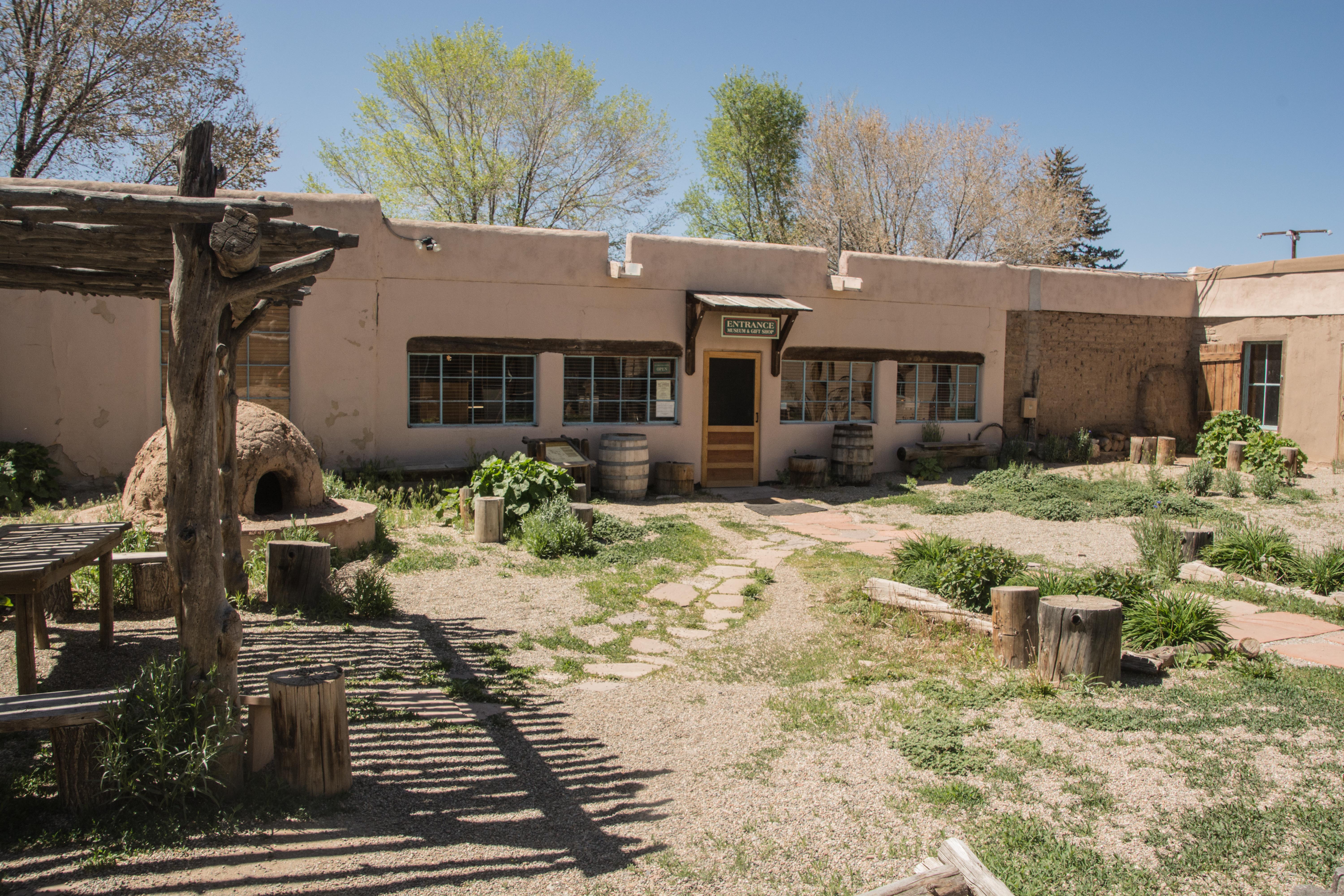
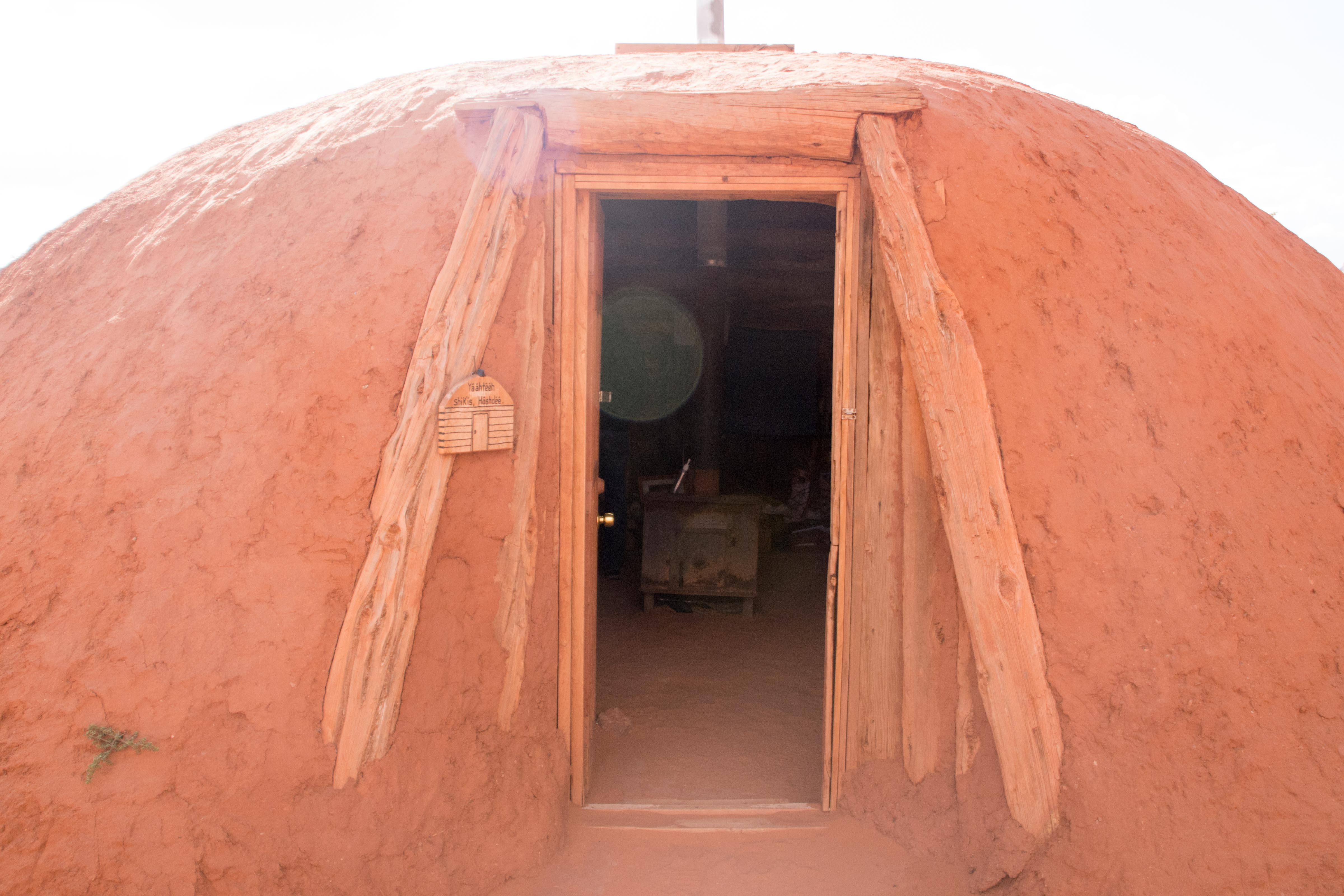
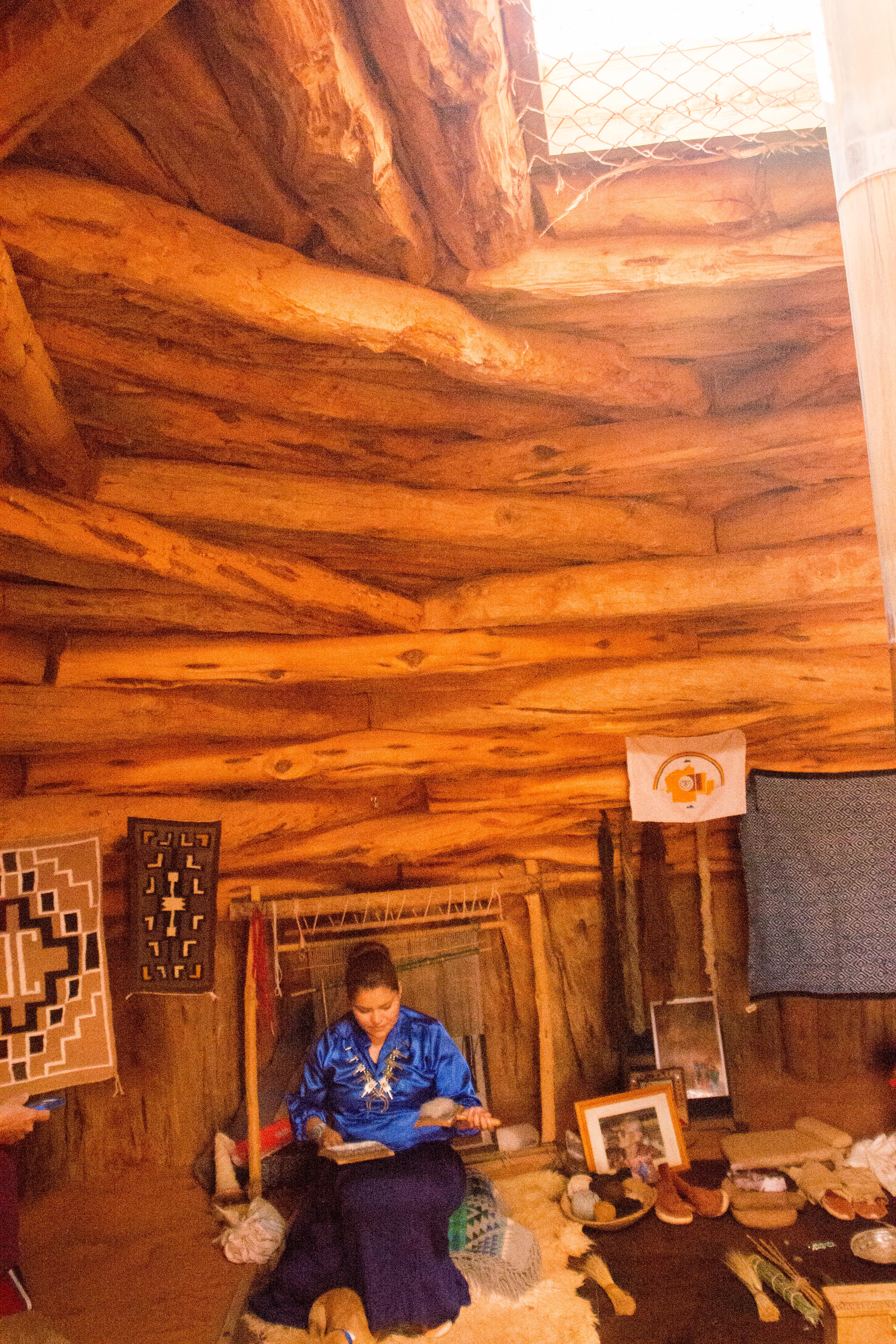
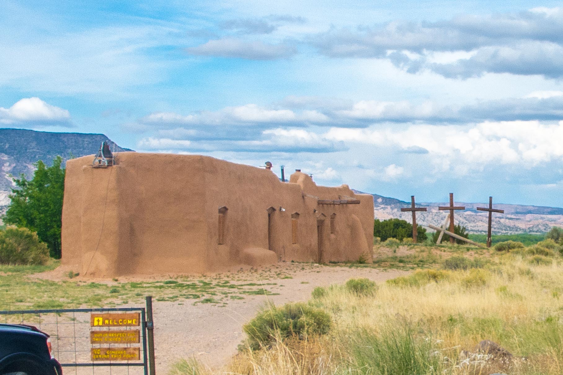
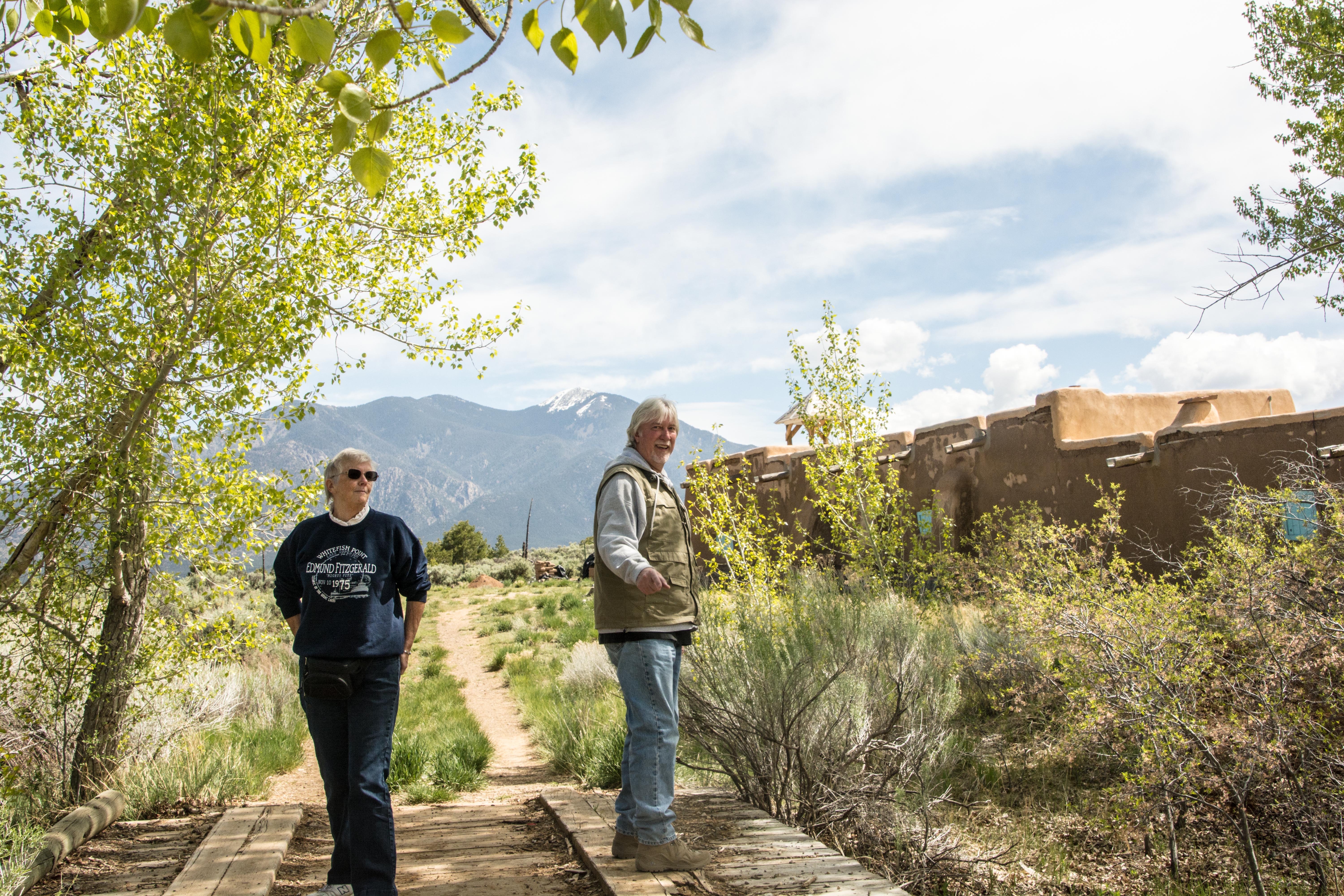 Steve is to do the driving, so we agree to meet him at our hotel’s parking lot. He shows up in a black four-door pickup truck with lots of enthusiasm. After a short get-to-know-you period, we start off on our adventure. The first stop is the Taos Morada, an adobe house built in the early 1800s by and for the Hermanos Penitantentes, and was used for religious study of ancient Catholic lay practices.
 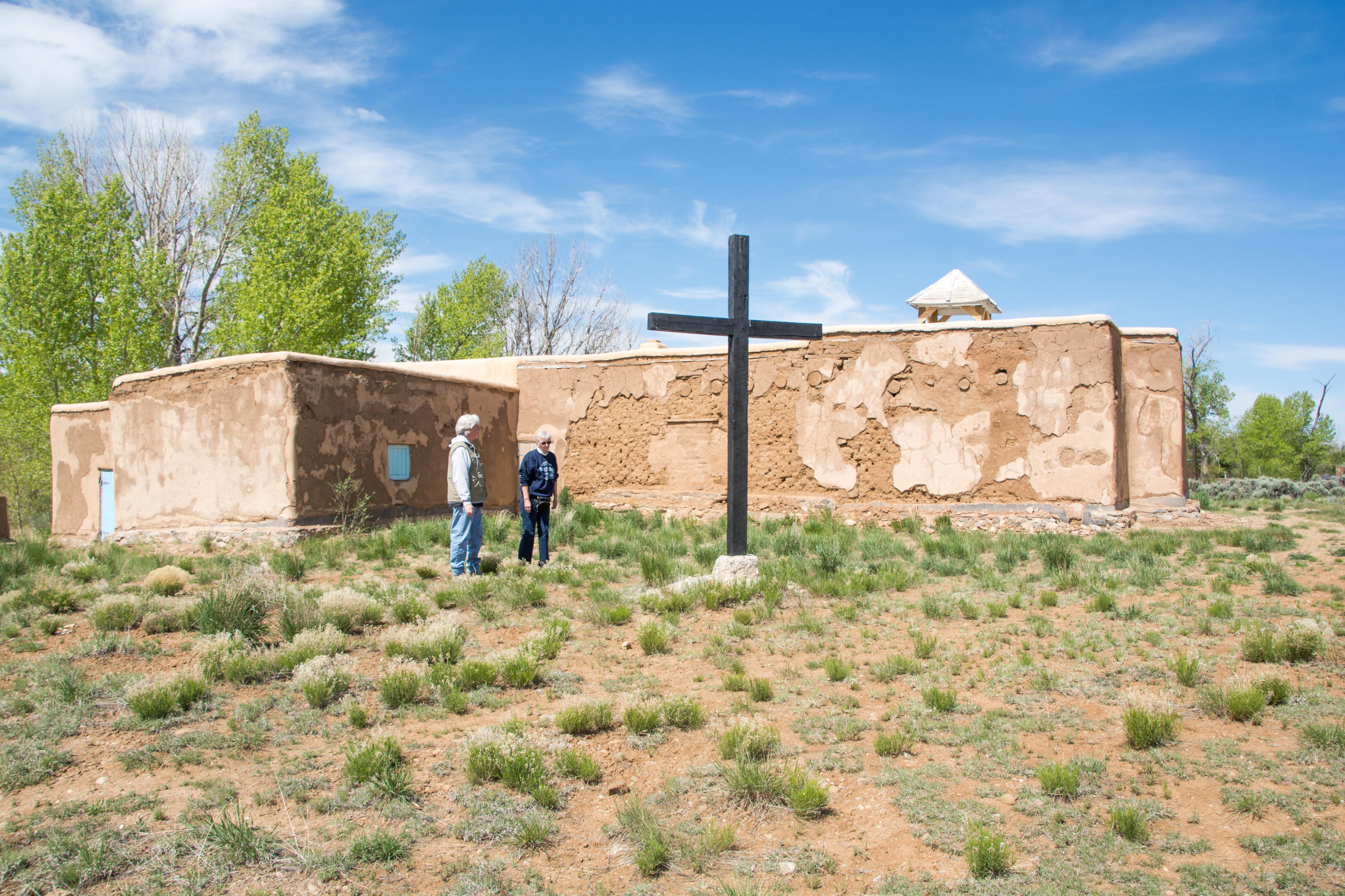 The site is now under the ownership of the Catholic Archdioceses of Santa Fe. The grounds are open to the public, but the building itself is private. We will be visiting another such structure later on.
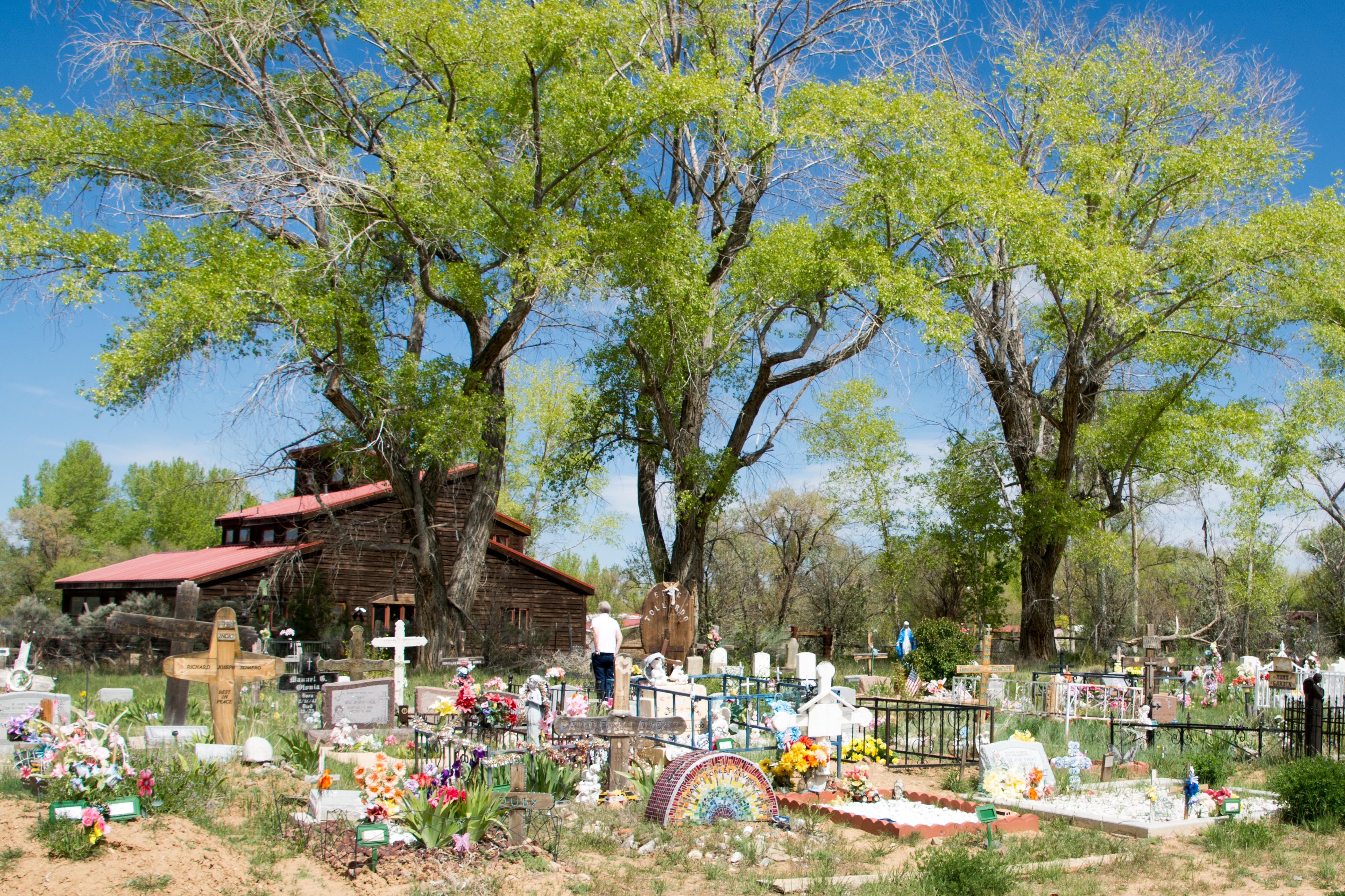
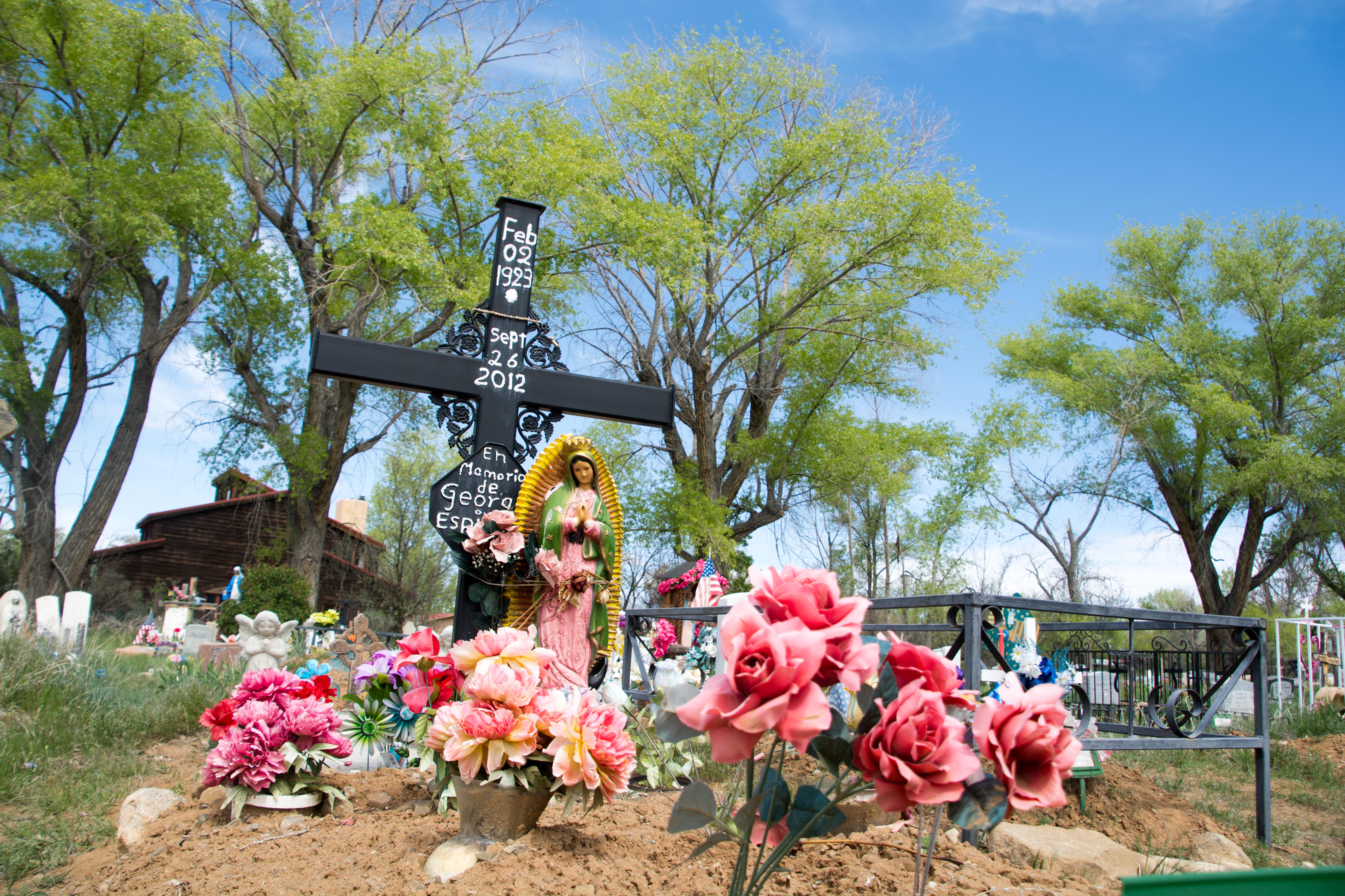 I’m immediately struck by the attention paid to these graves, with much ornamentation maintained.
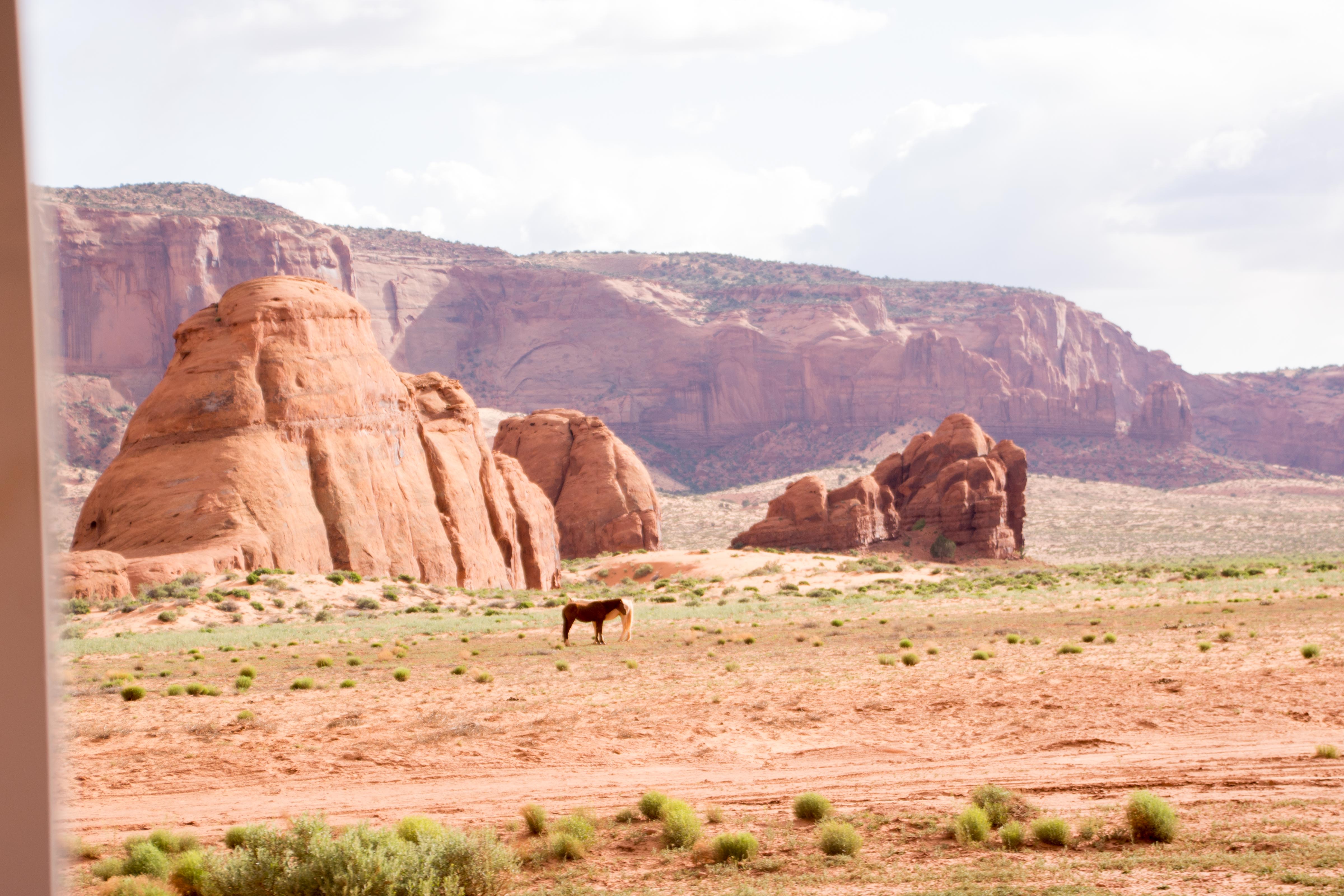
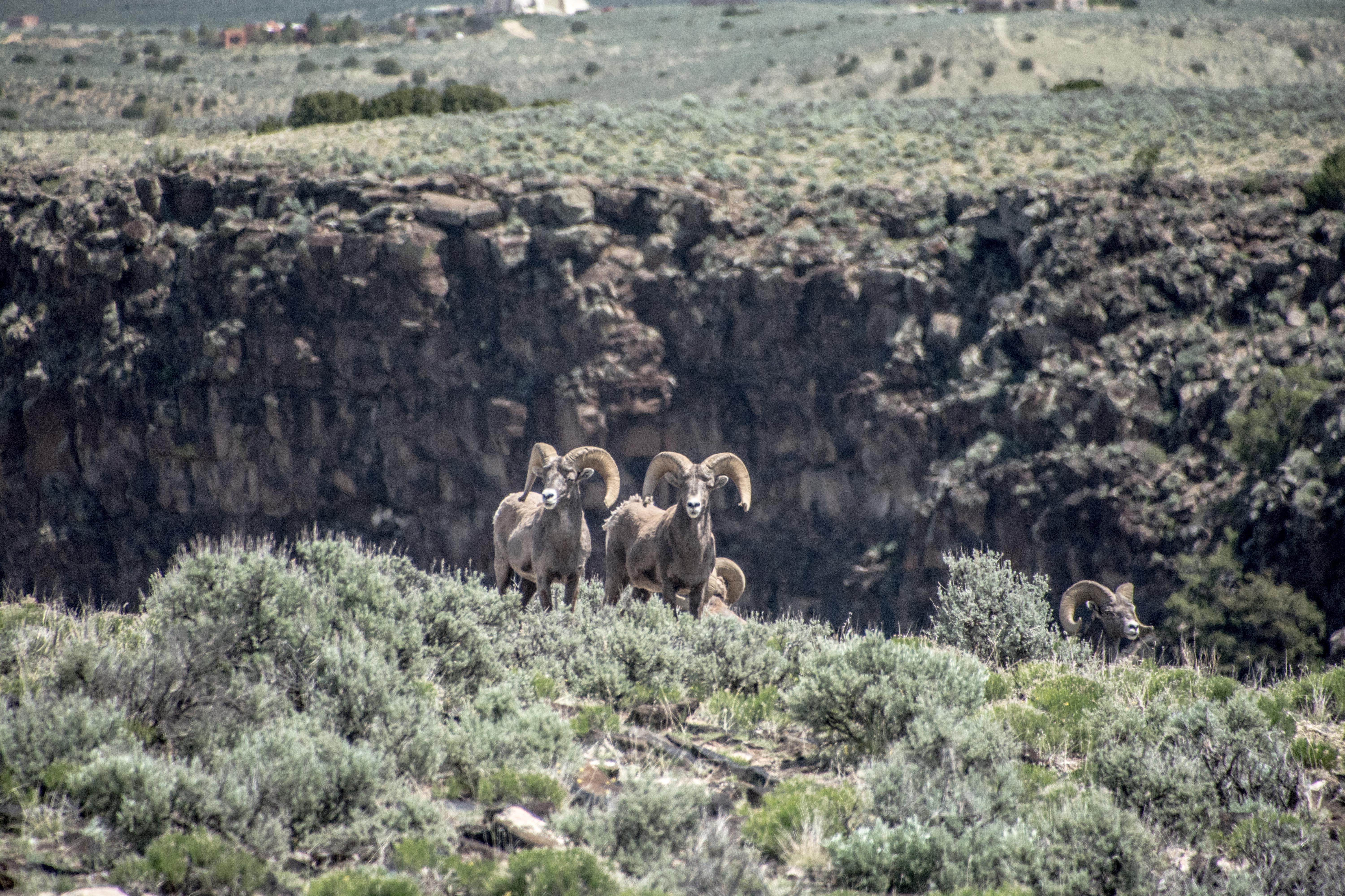
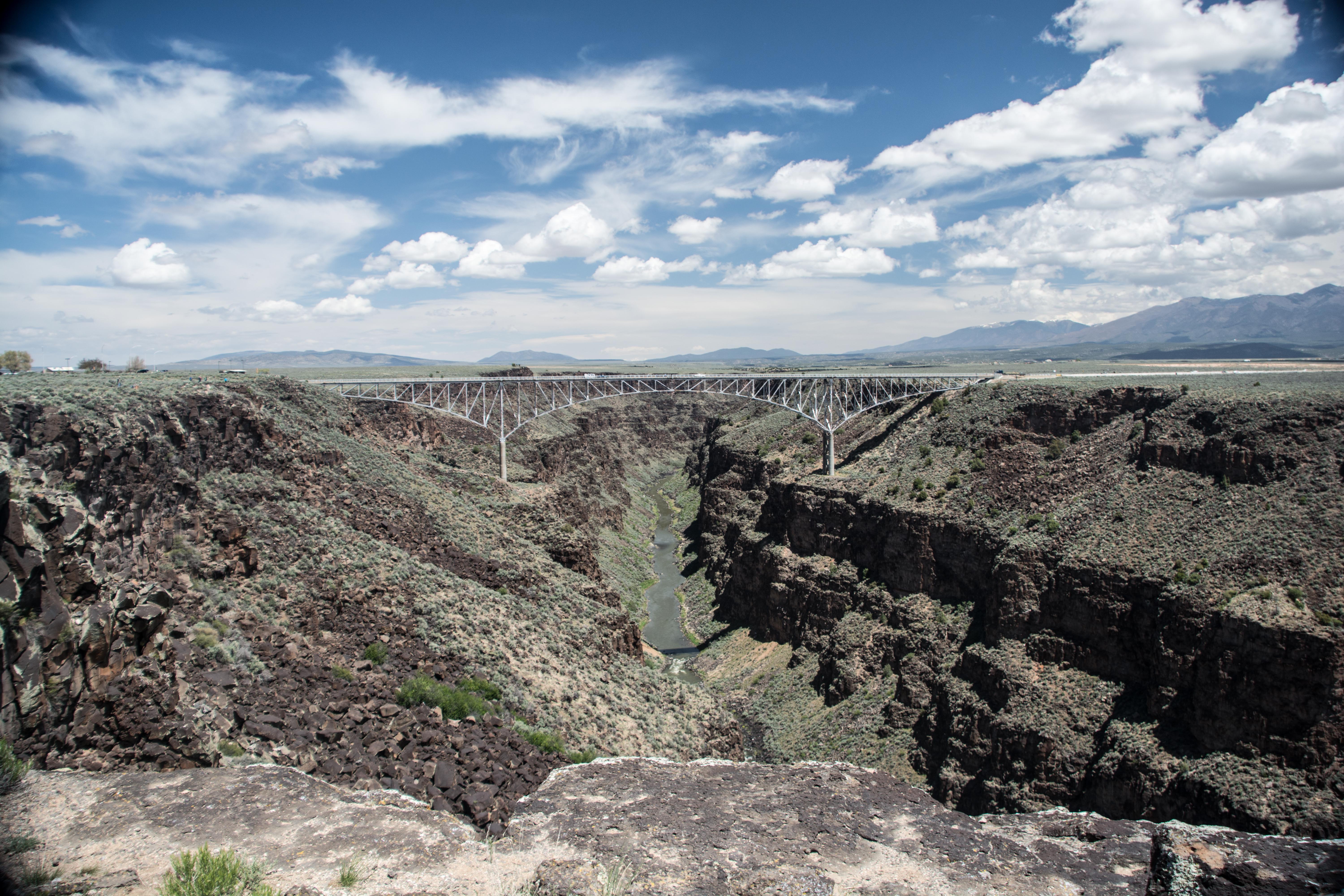 Next we head to the Rio Grande Gorge Bridge, where we discover a herd of bighorn sheep just off the road on the far side of the bridge.
 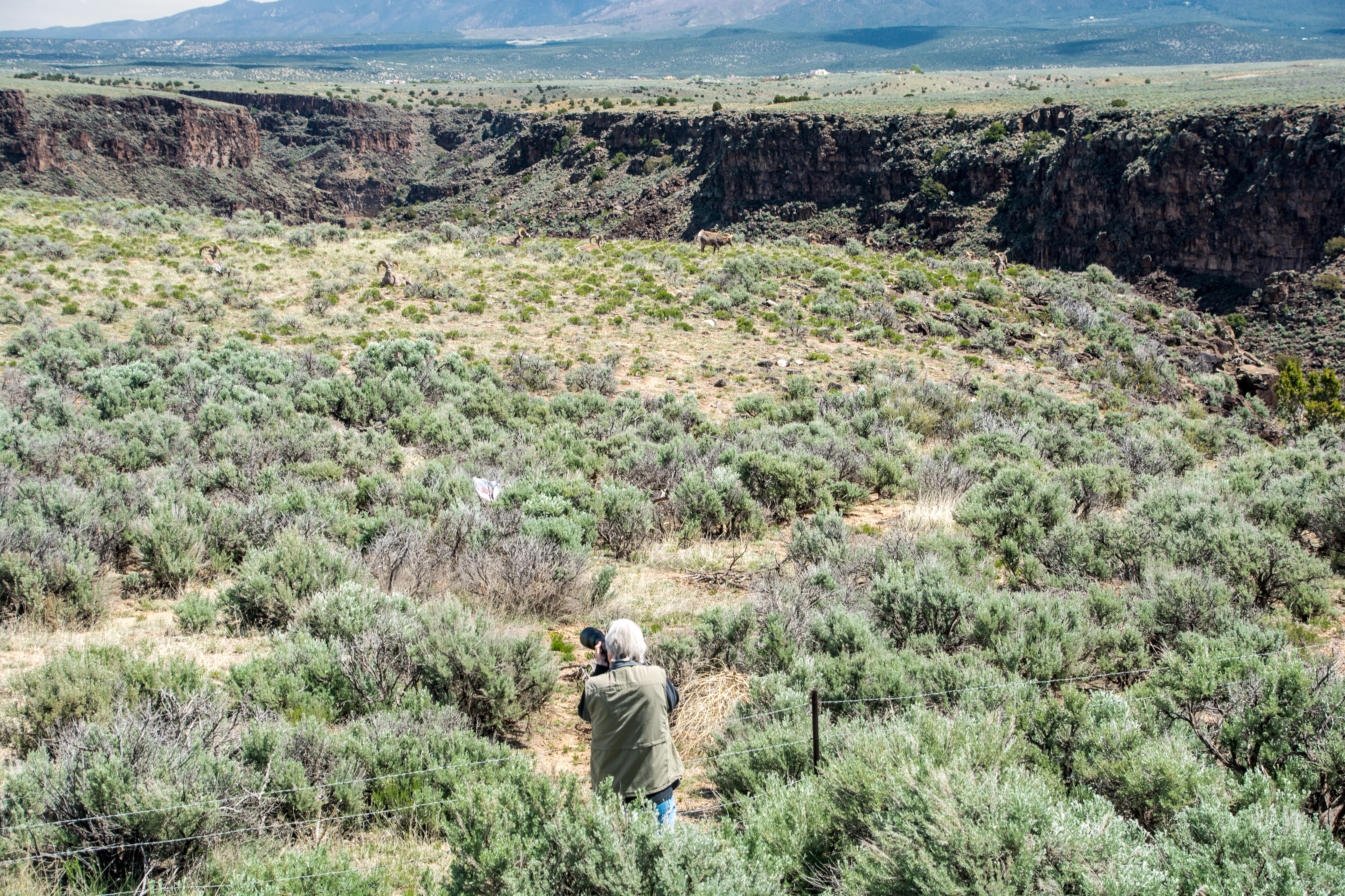 Stopping there, Steve gets out his camera to get some shots. I count 10 sheep in the picture at right.
 He’s retired from his day-job, he tells us, but enjoys photography originally as a hobby. He also enjoys meeting new people, so it makes sense for to do these tours as a way to pay for his hobby. It is more than a hobby for him, though, as he sells his photographs online. He gets notification while we are traveling around that the third of three pictures he offered to the state of New Mexico has been accepted for purchase and display.
 Our next stop is the Greater World Earthship Subdivision, a bit further out from Rio Grande Gorge Bridge.
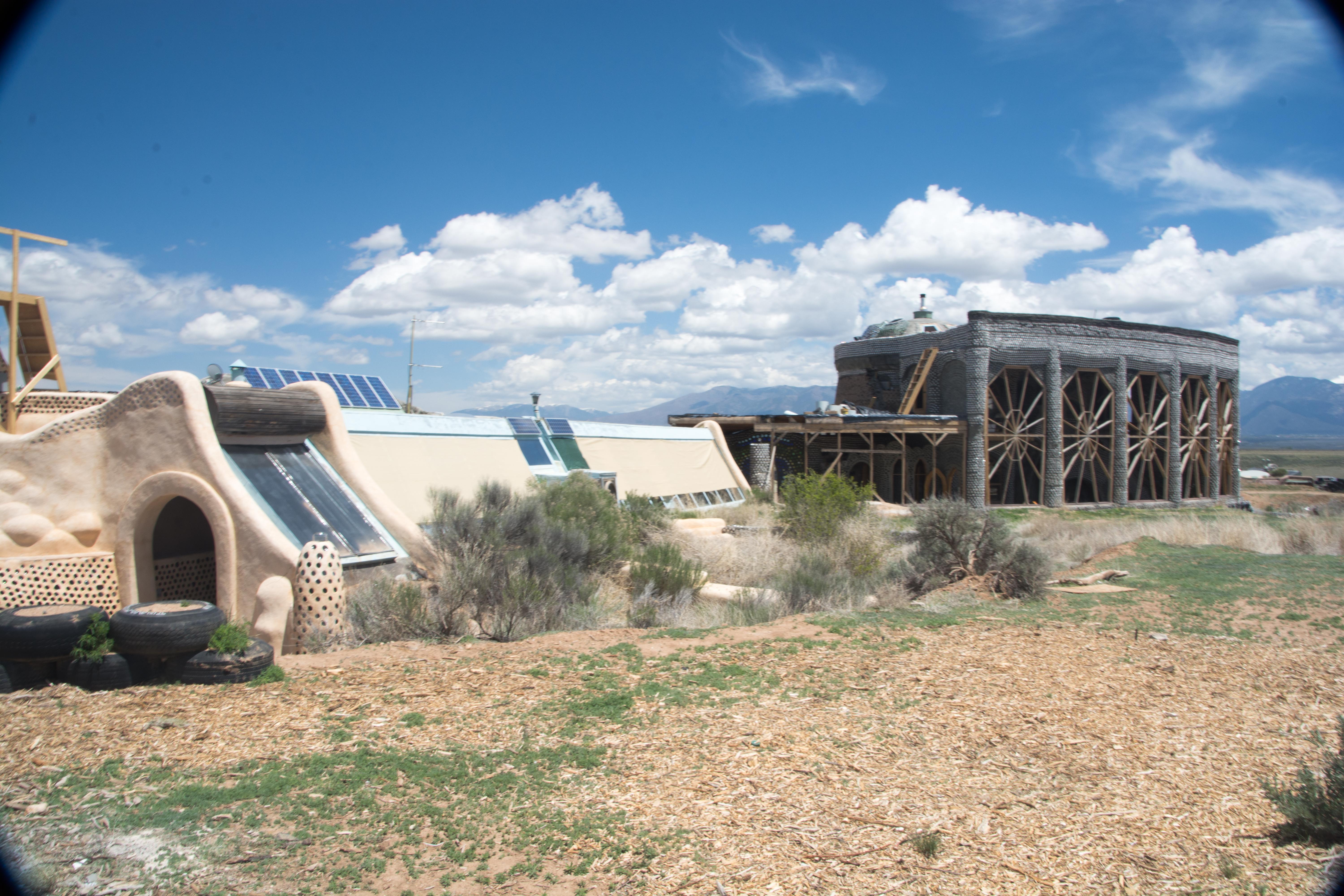
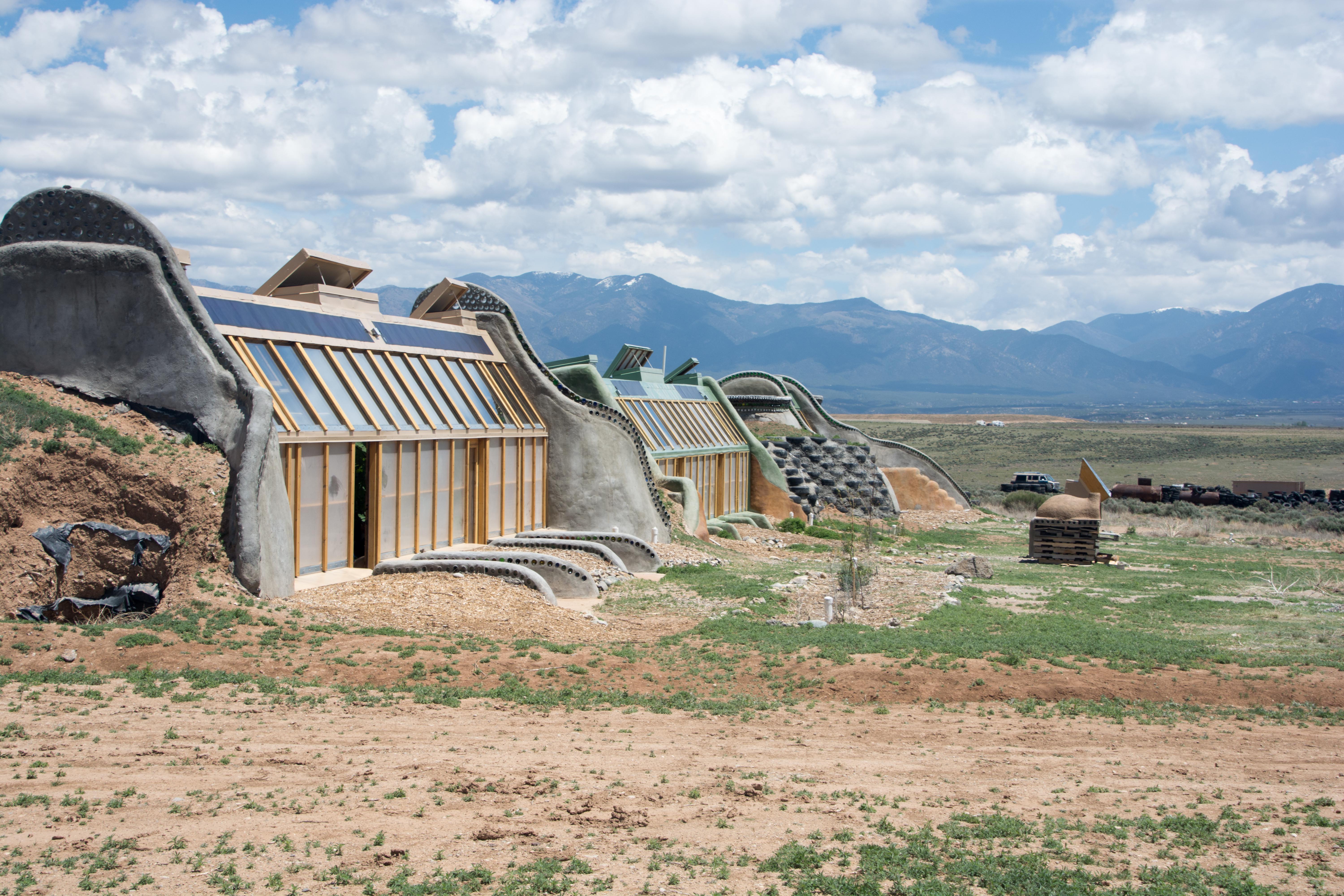 This is a community dedicated to living as sustainably as possible. According to their documentation their goals include:
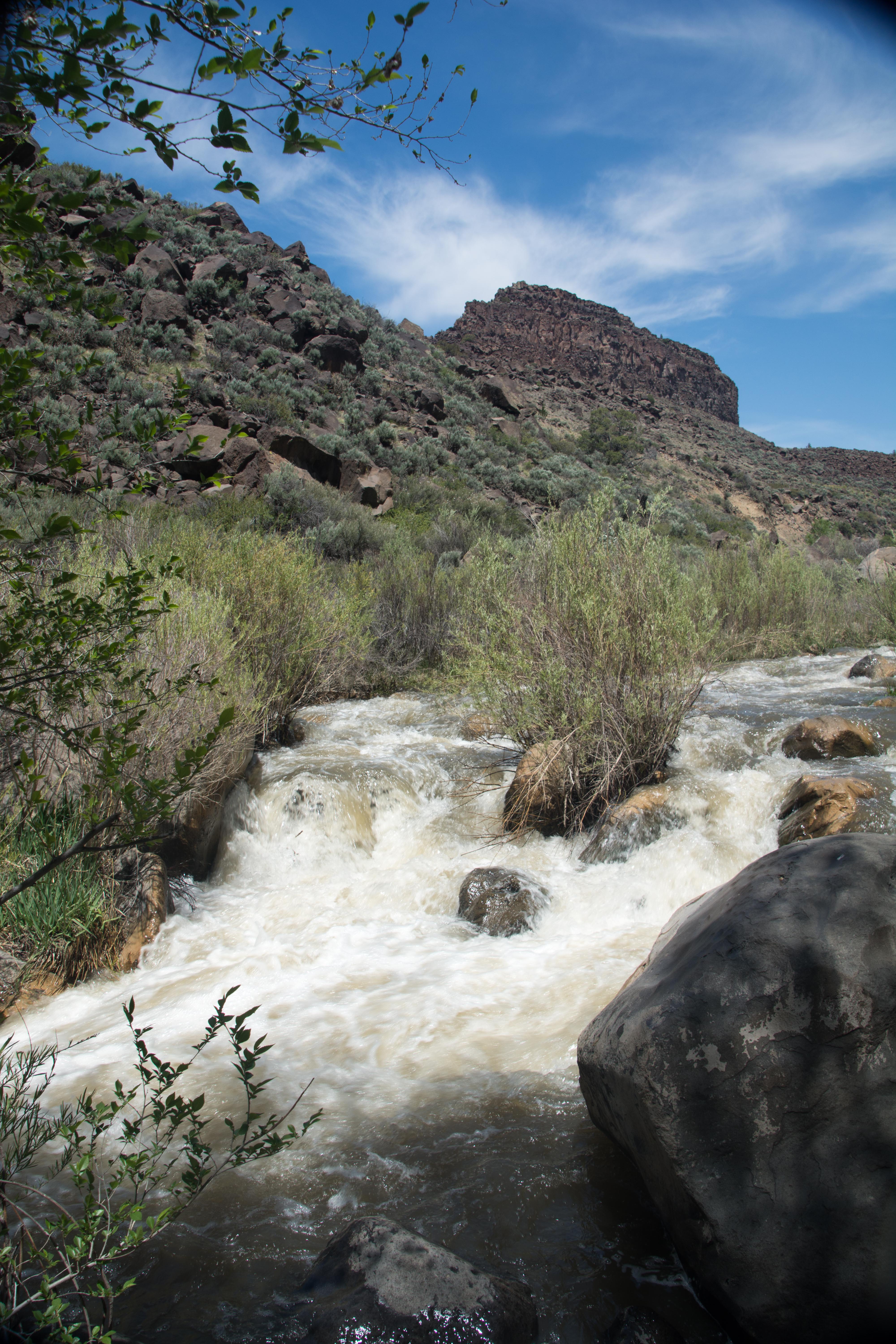
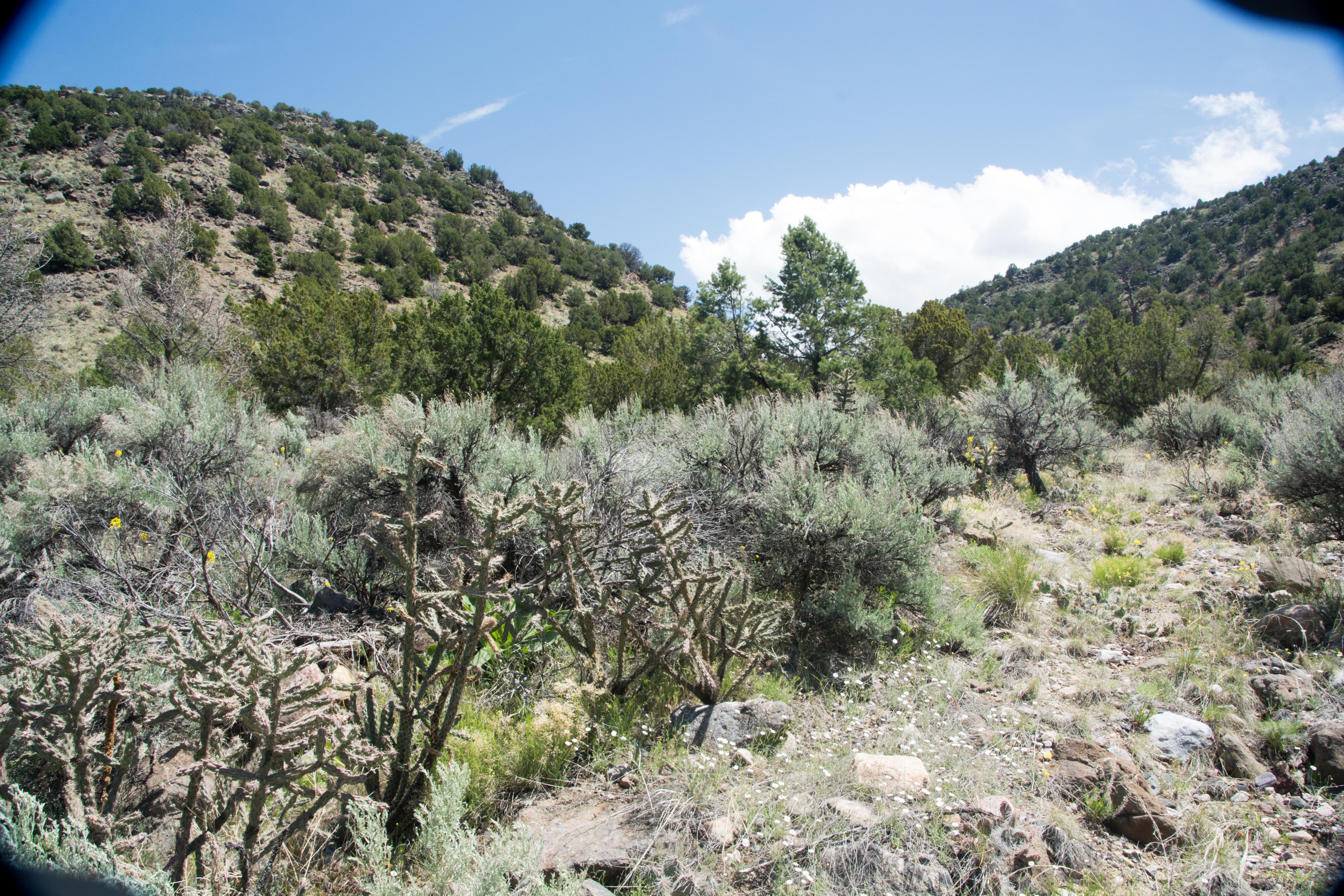
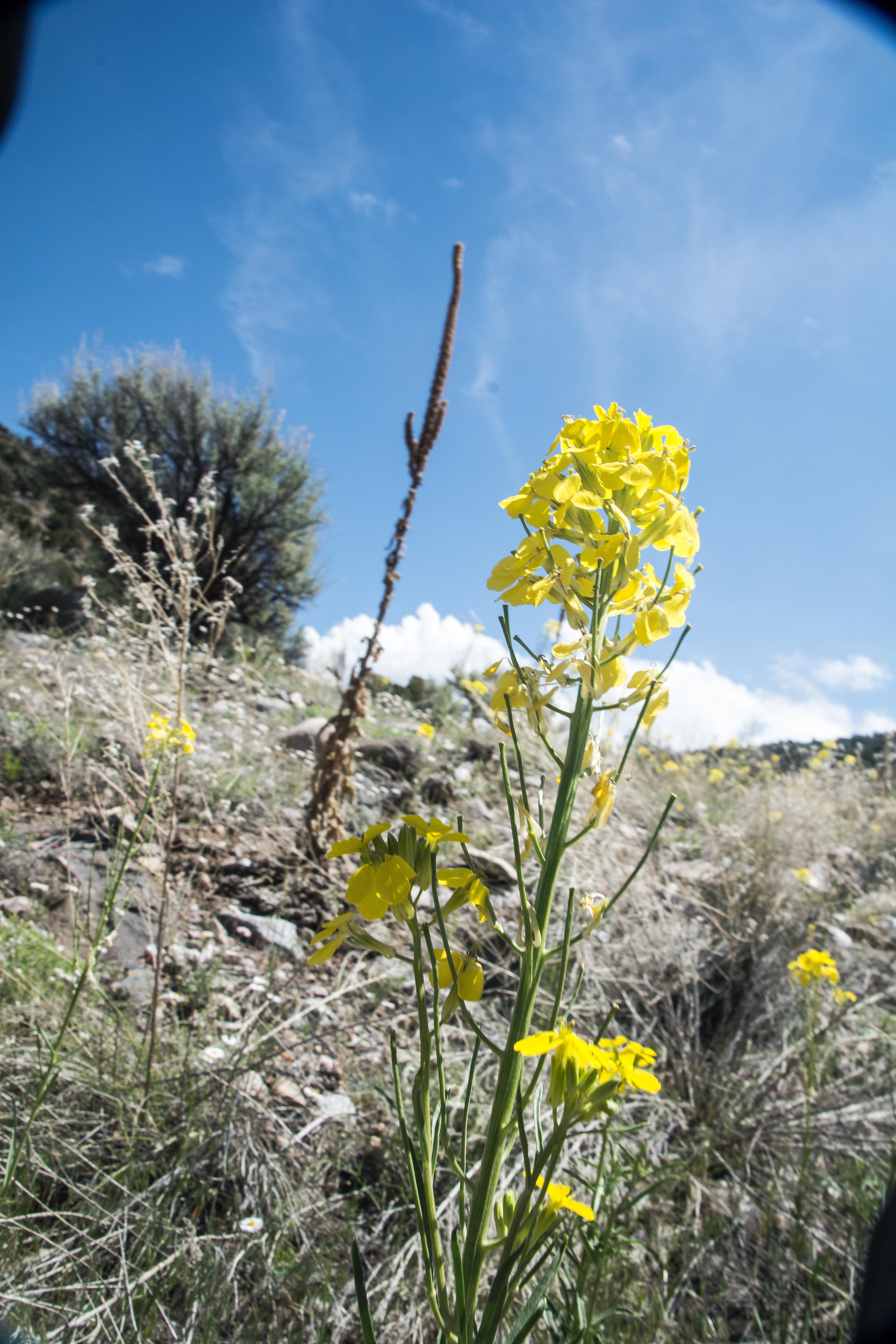
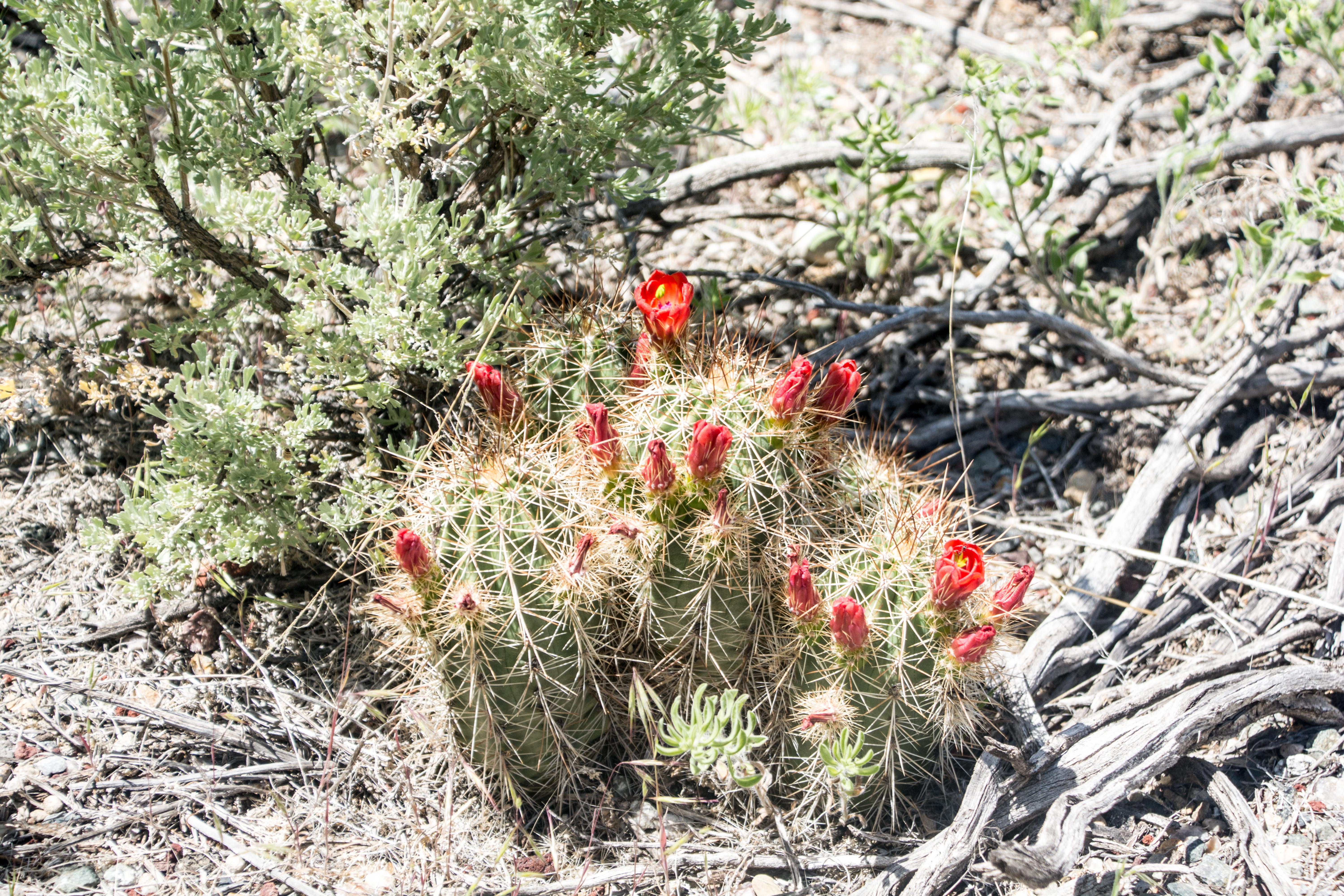
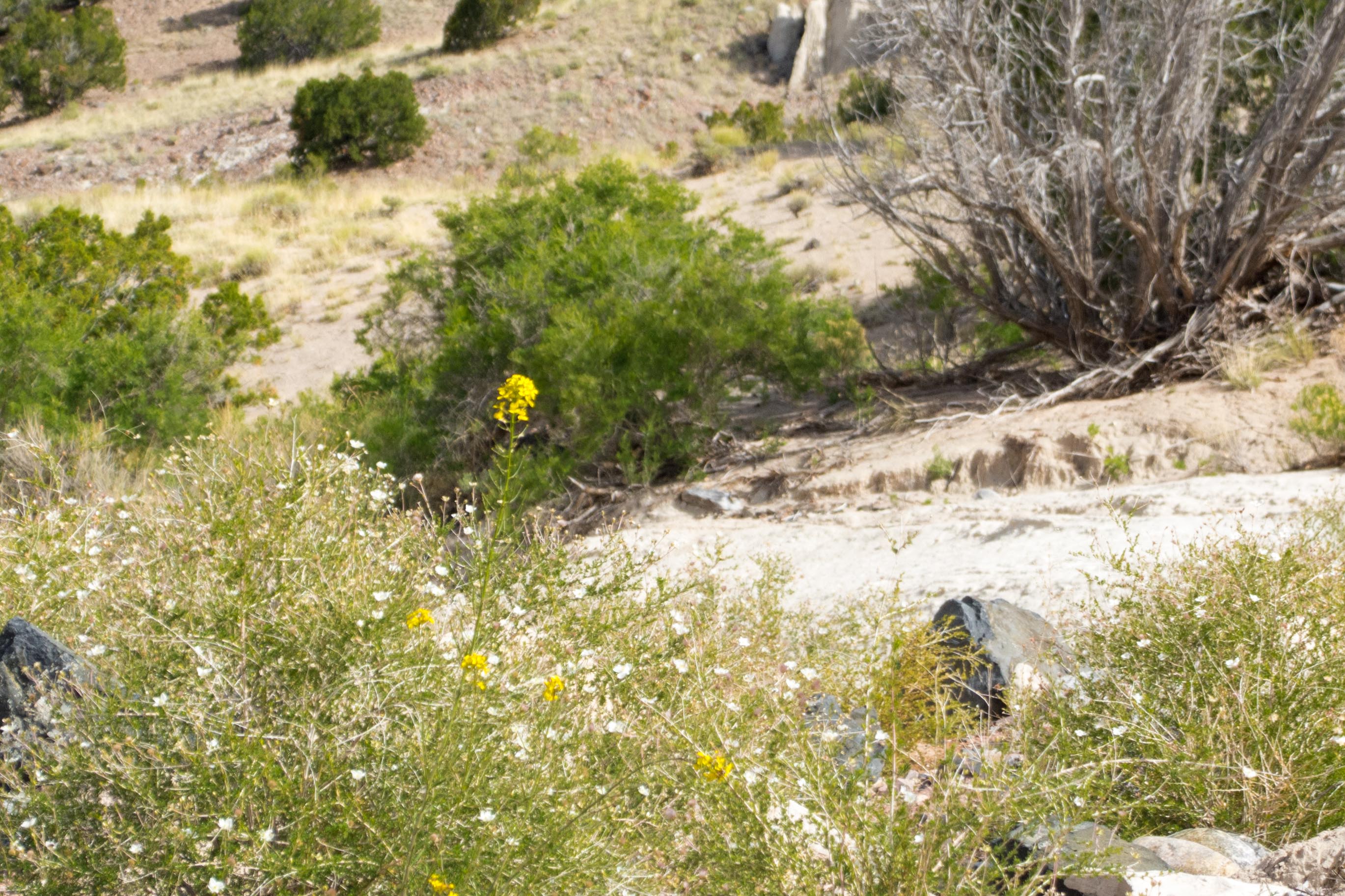
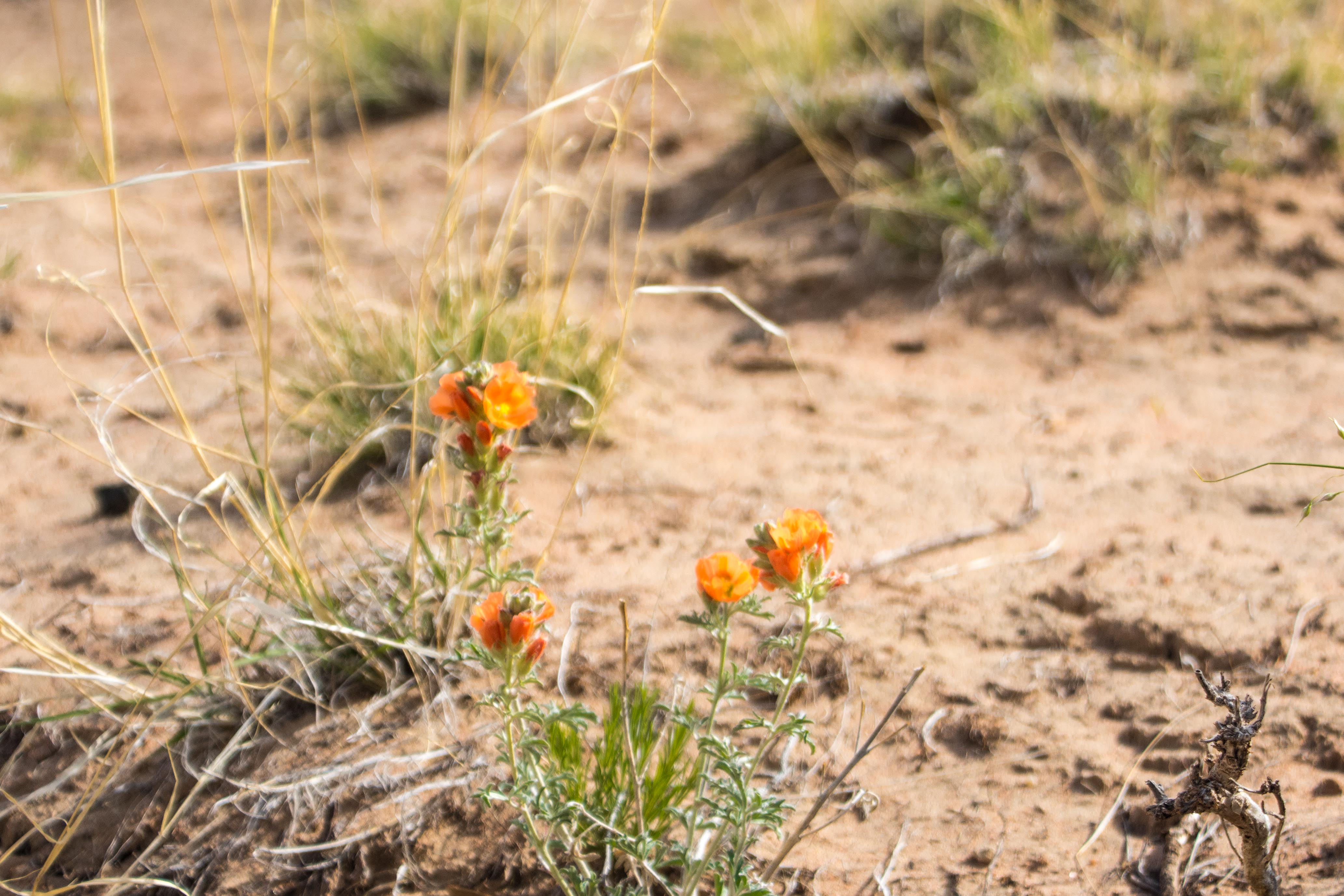
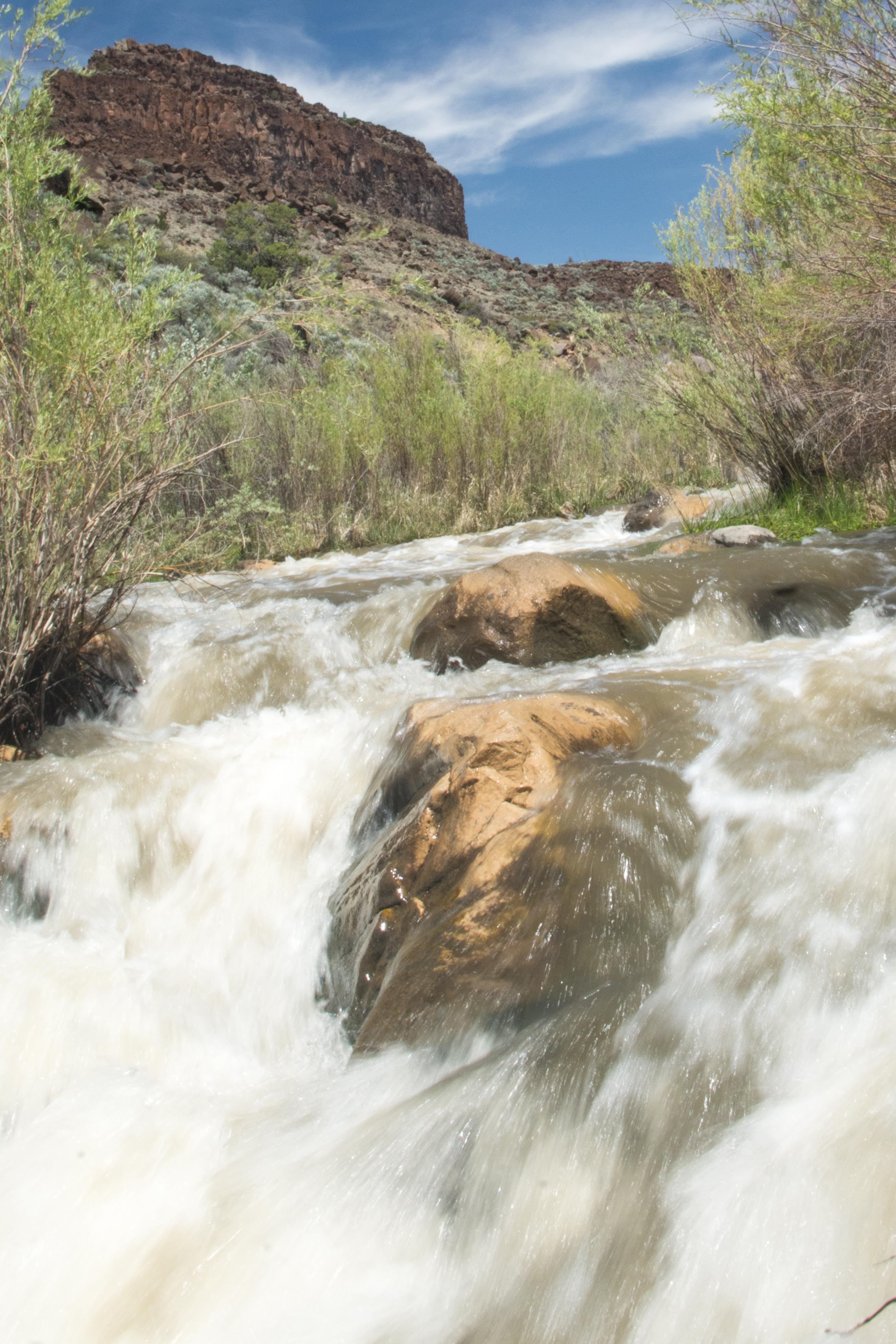 We next go down to the Rio Grande River itself to get a closer look. We stop at a number of places, at various levels to see views high and low of the river and some of the colorful plants that are to be found around it.
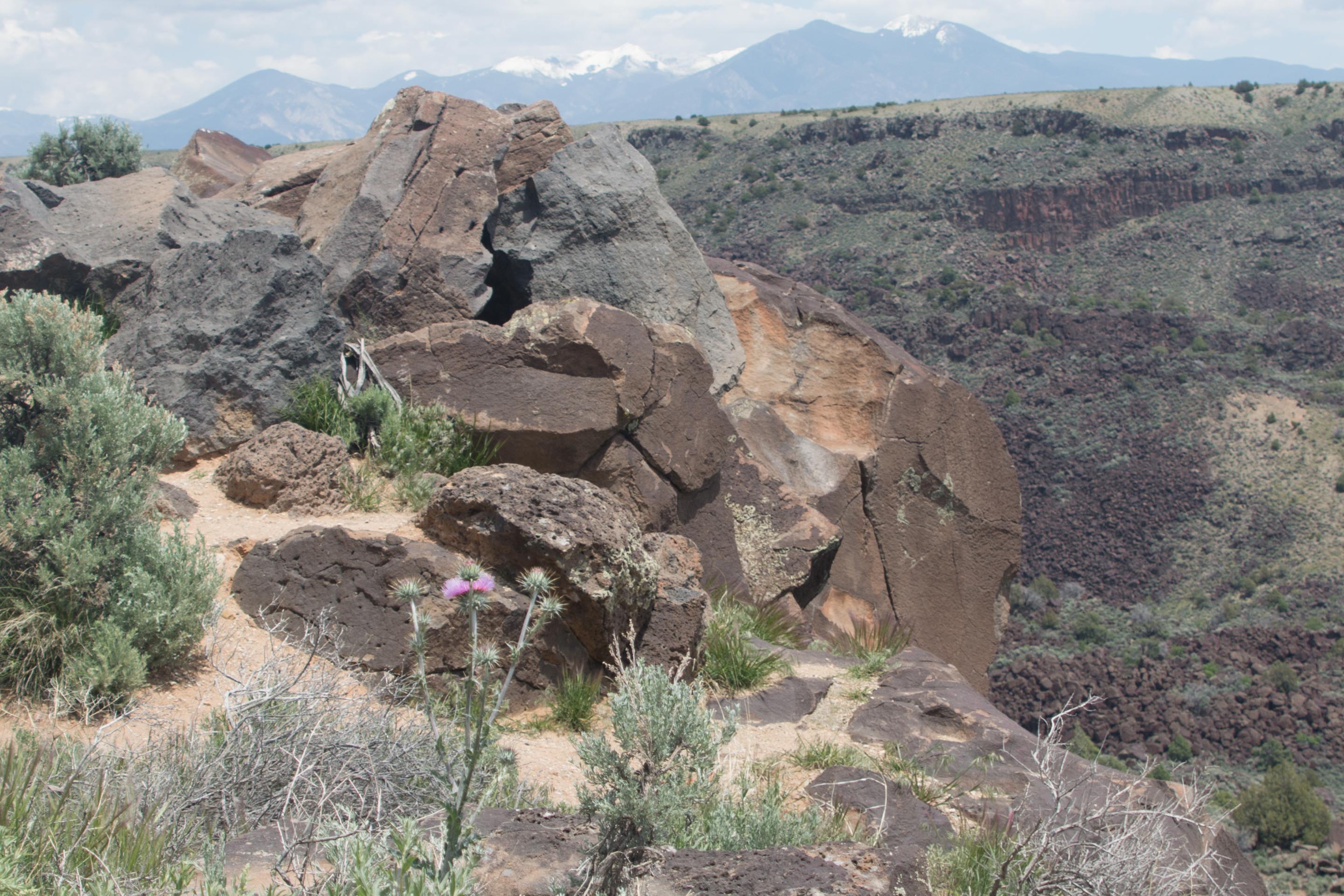
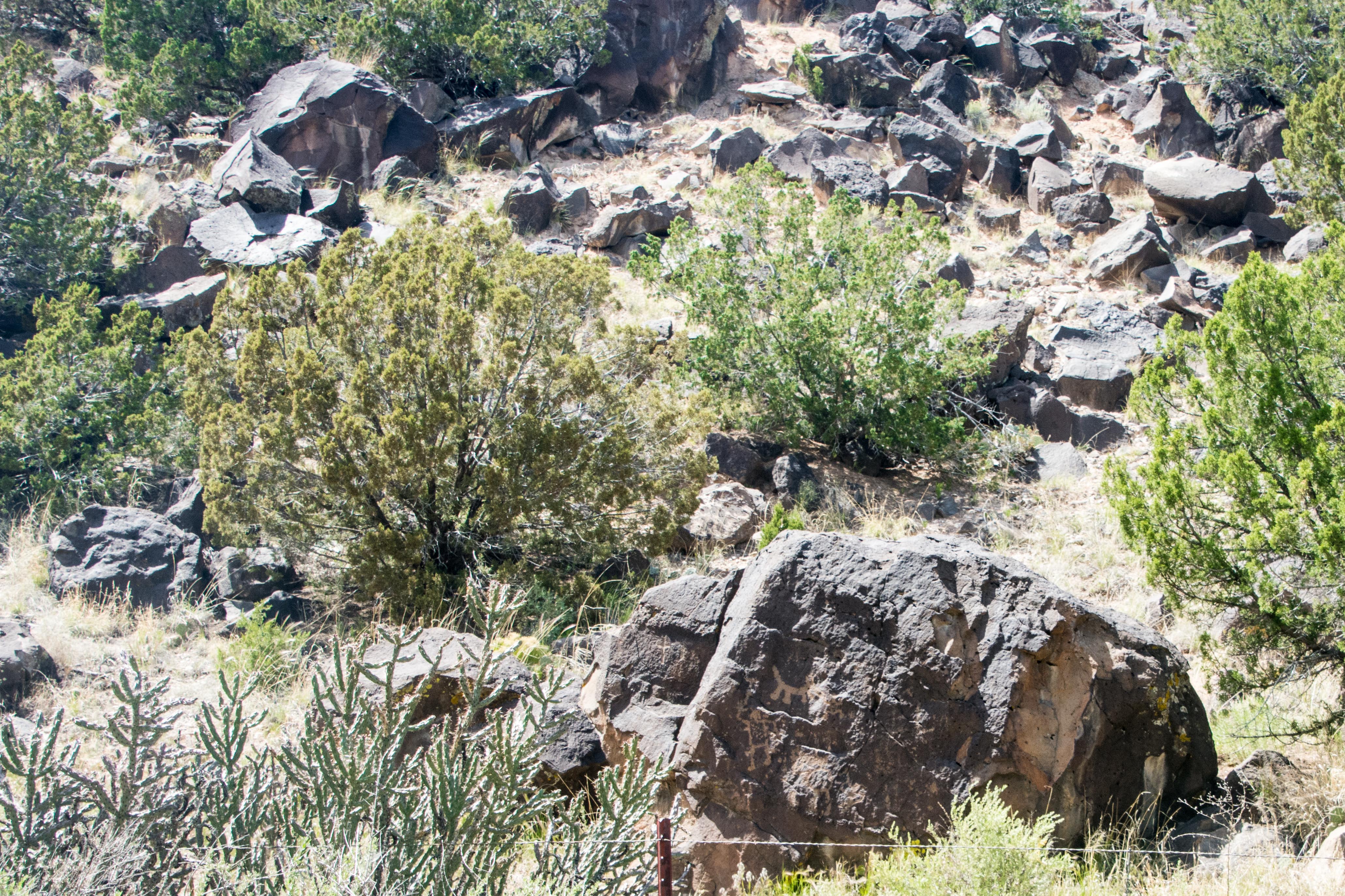
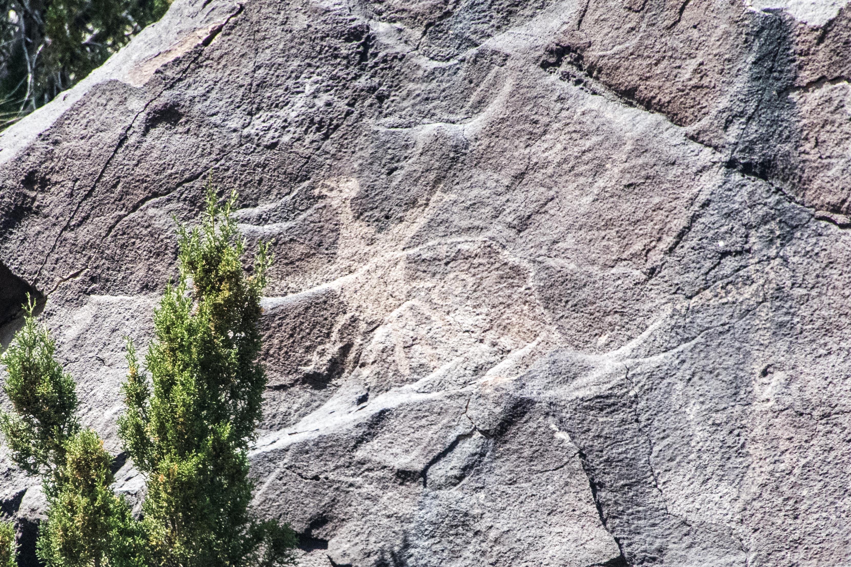
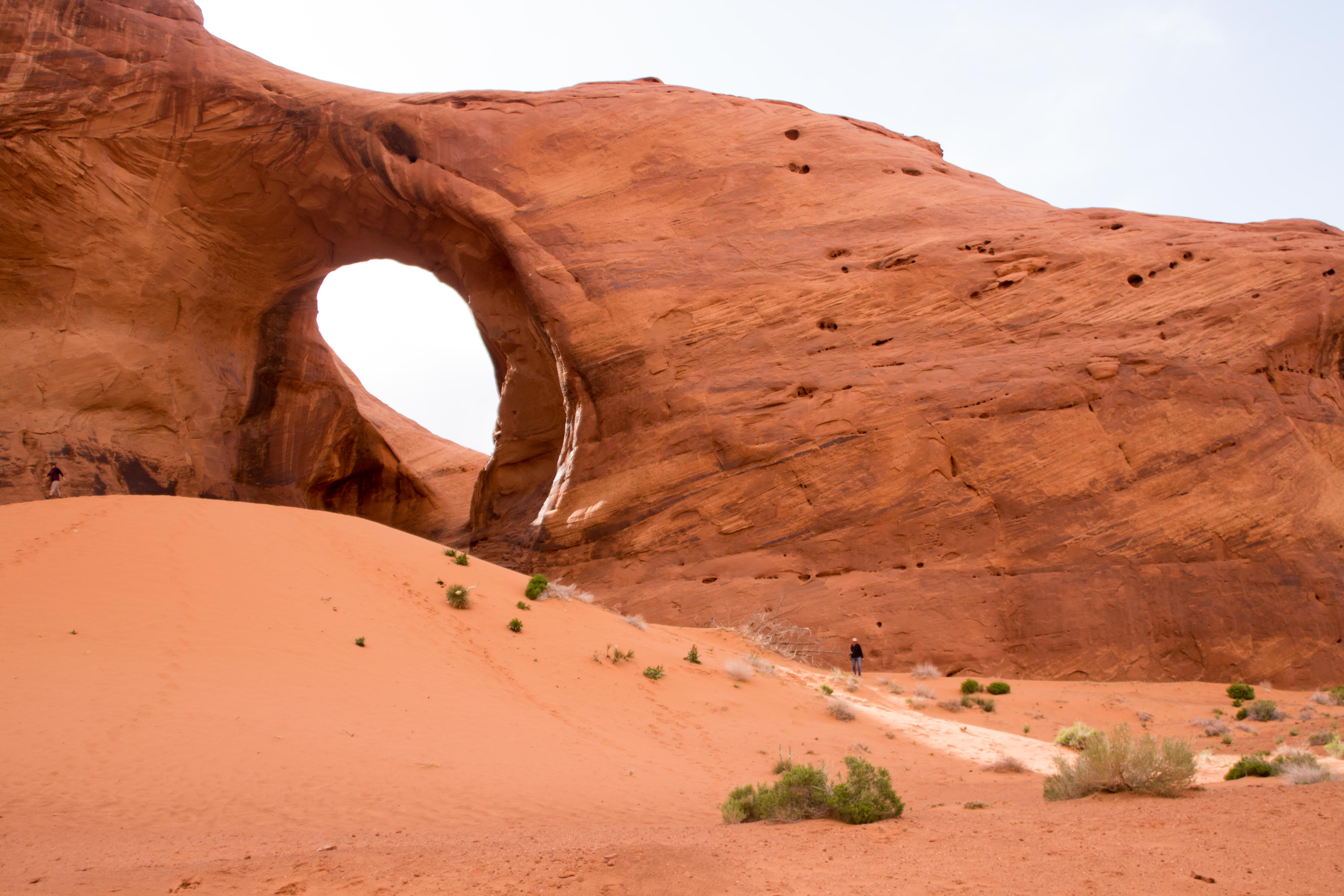
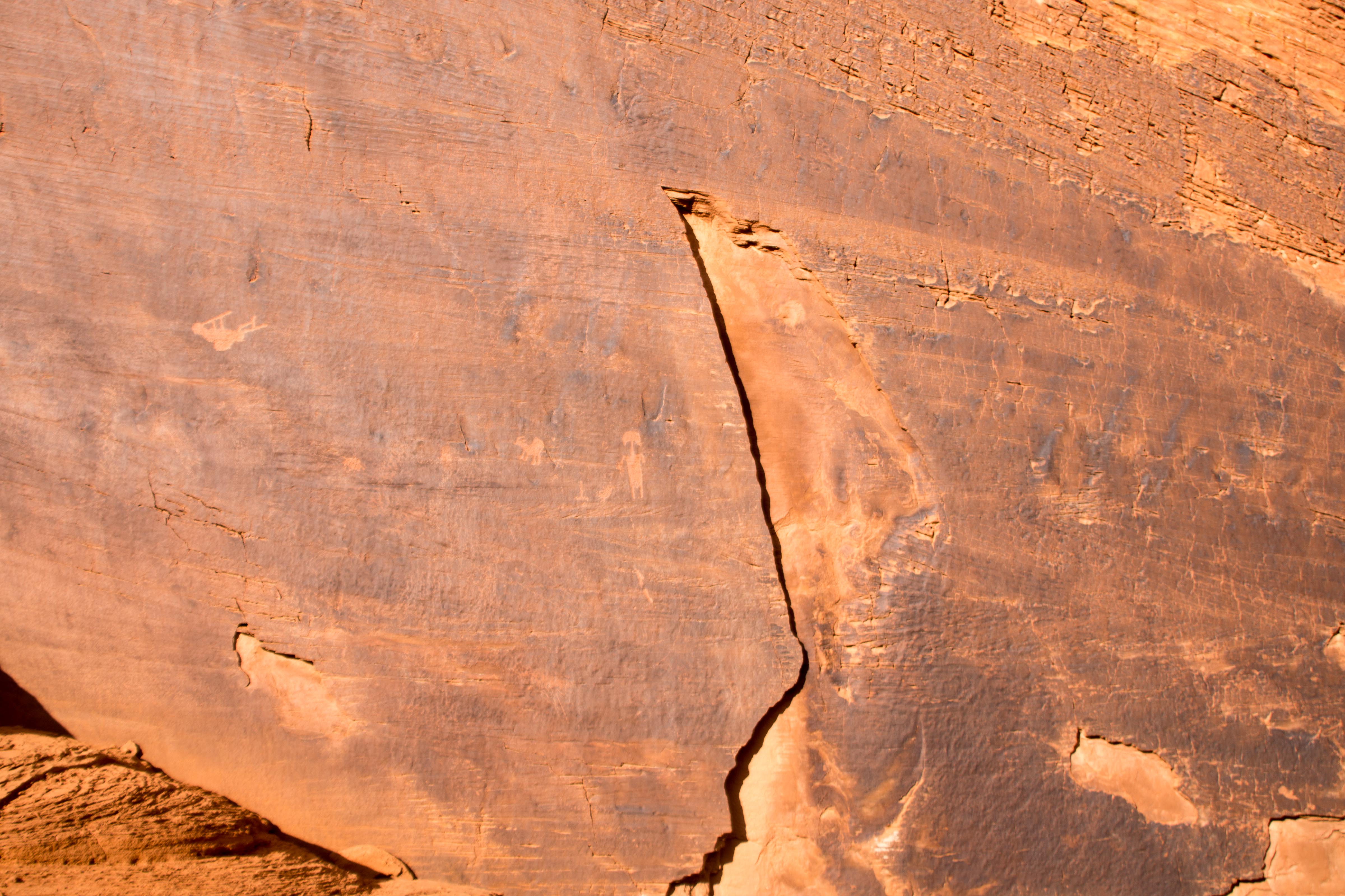
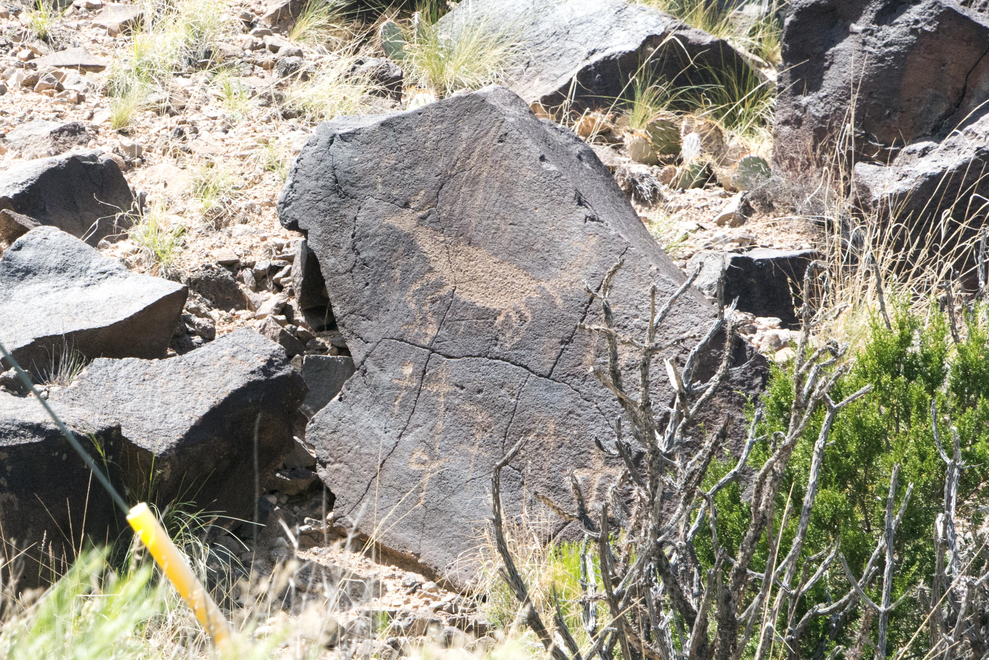 Steve takes us along one of the backroads where just to the side of the road is a hill full of rocks with petroglyphs inscribed. We don’t have to get out of the truck to take pictures of these drawings, it is just “point and shoot”.
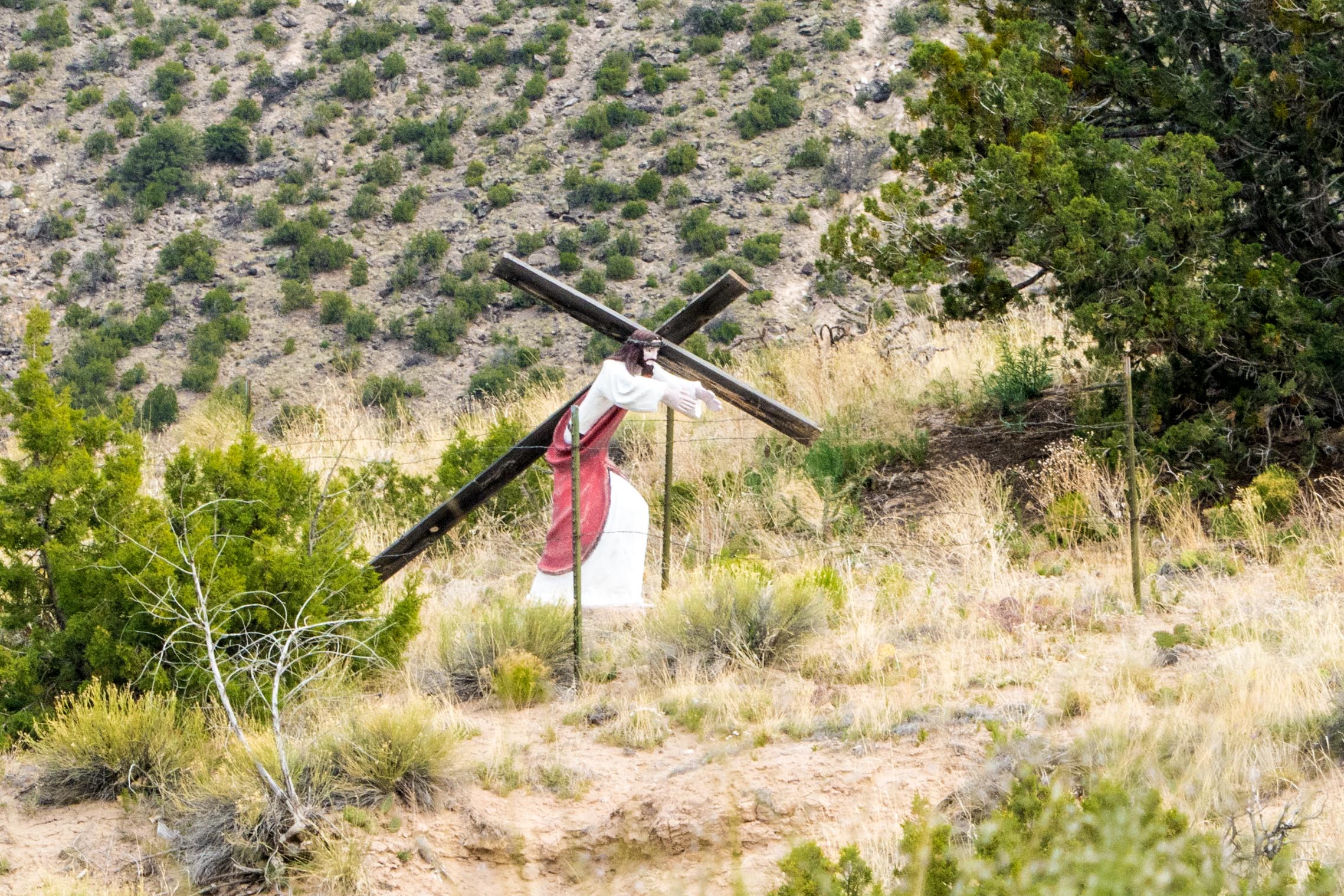
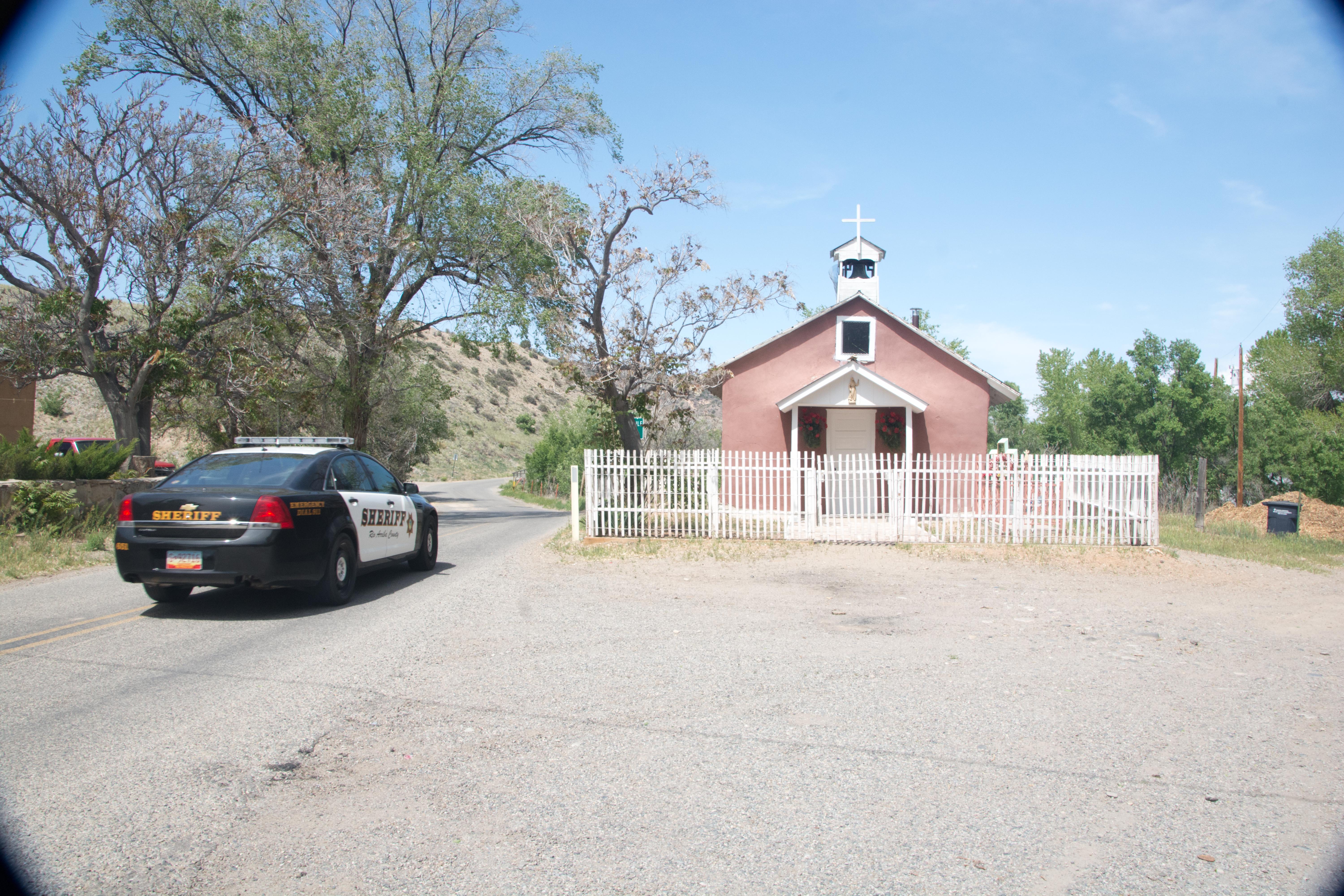 Driving up into the hills, we comes to a junction where two roads come together into a “Y”. In the patch of ground between the upper arms is a small church. Just as I am taking a picture, the local Sheriff’s car comes by. He doesn’t stop, however, so I guess he doesn’t object to our taking pictures!
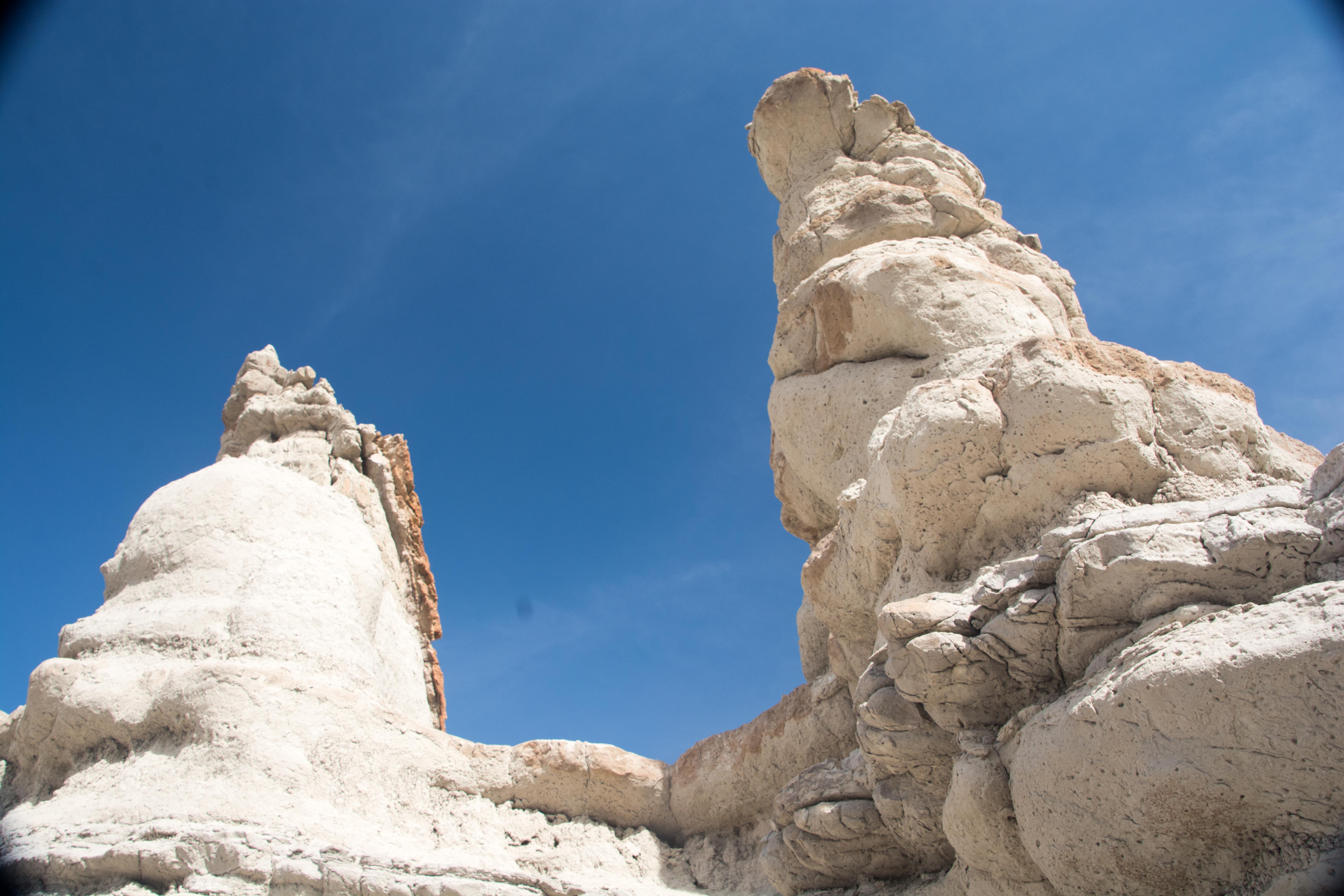
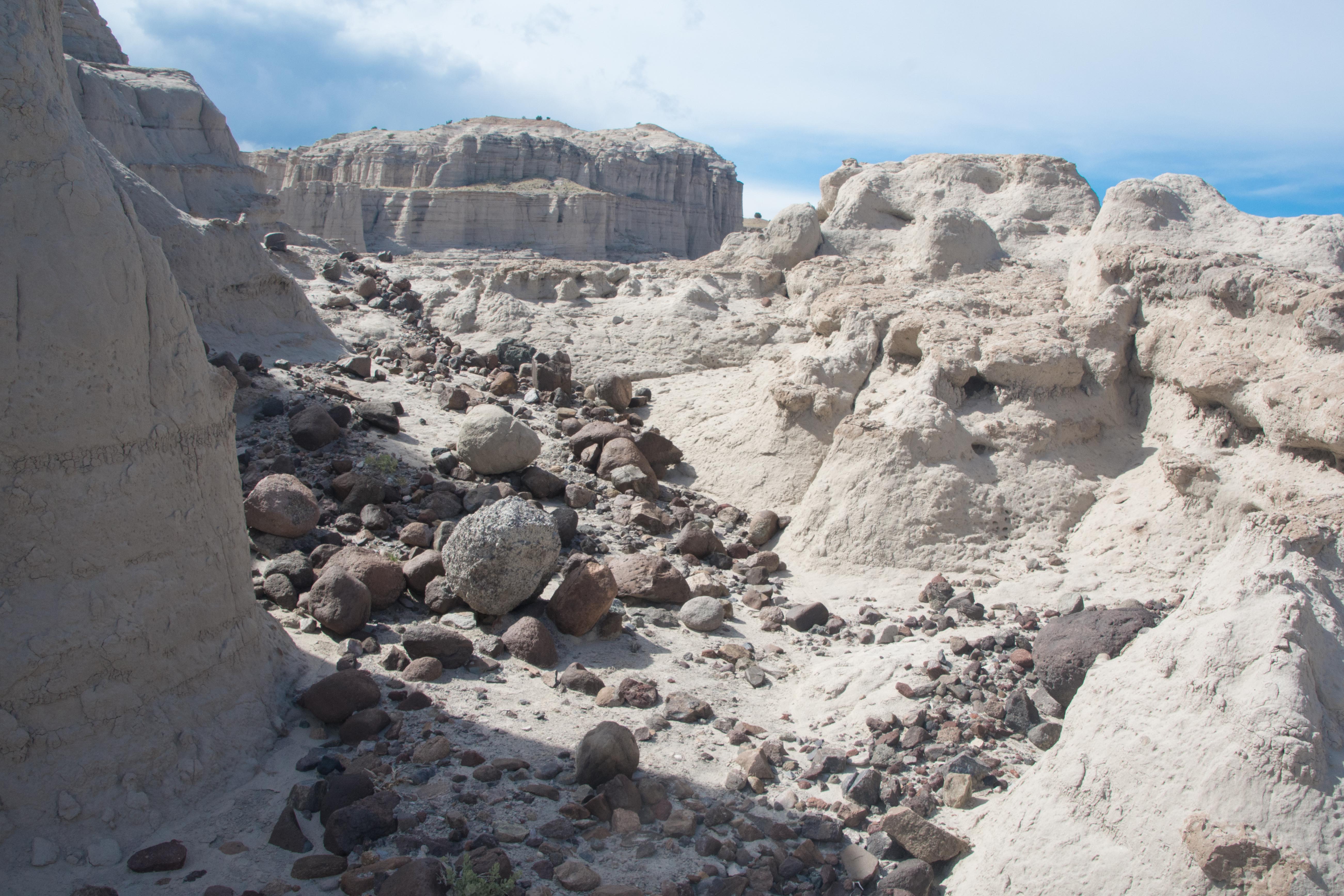
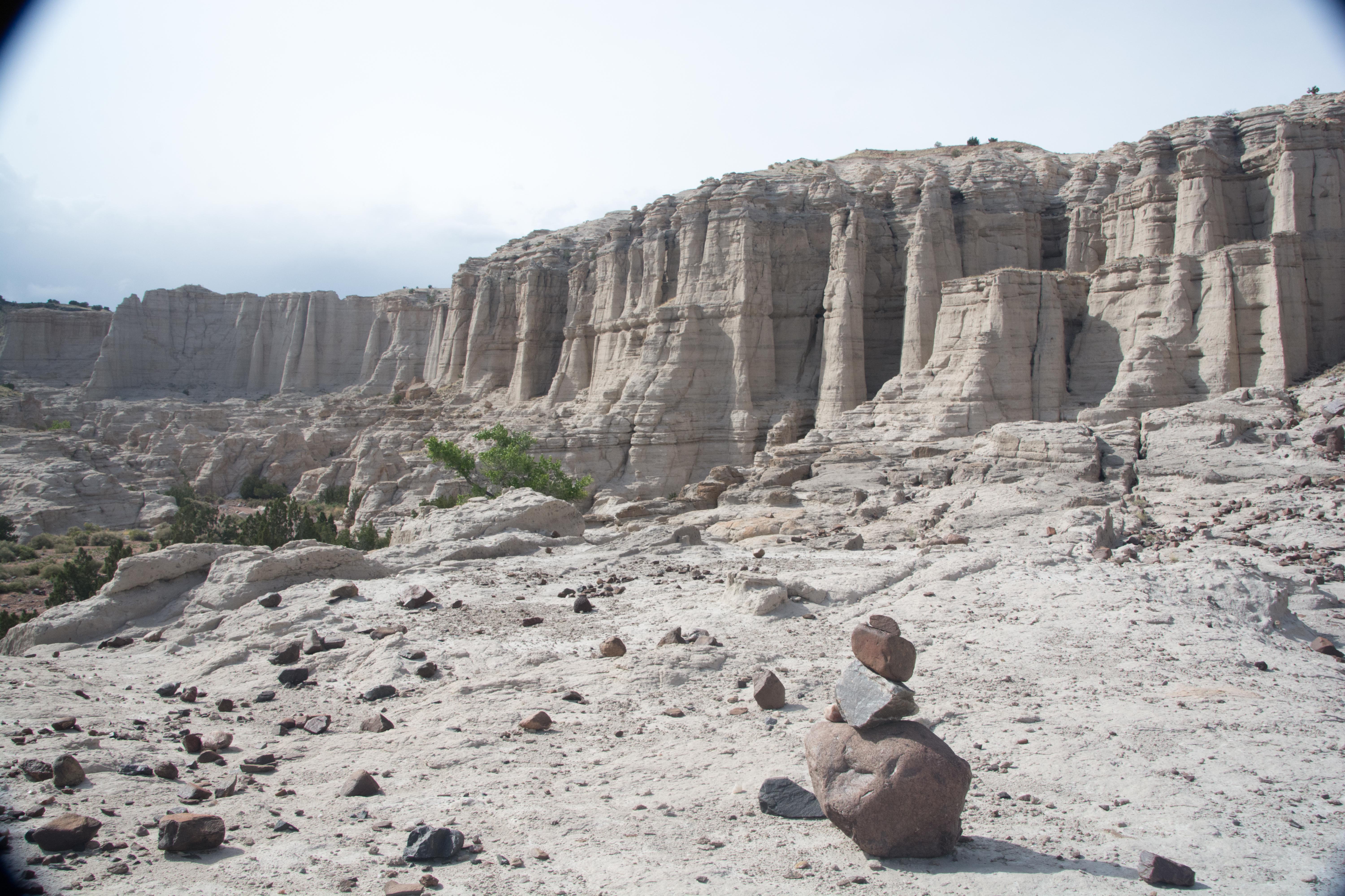
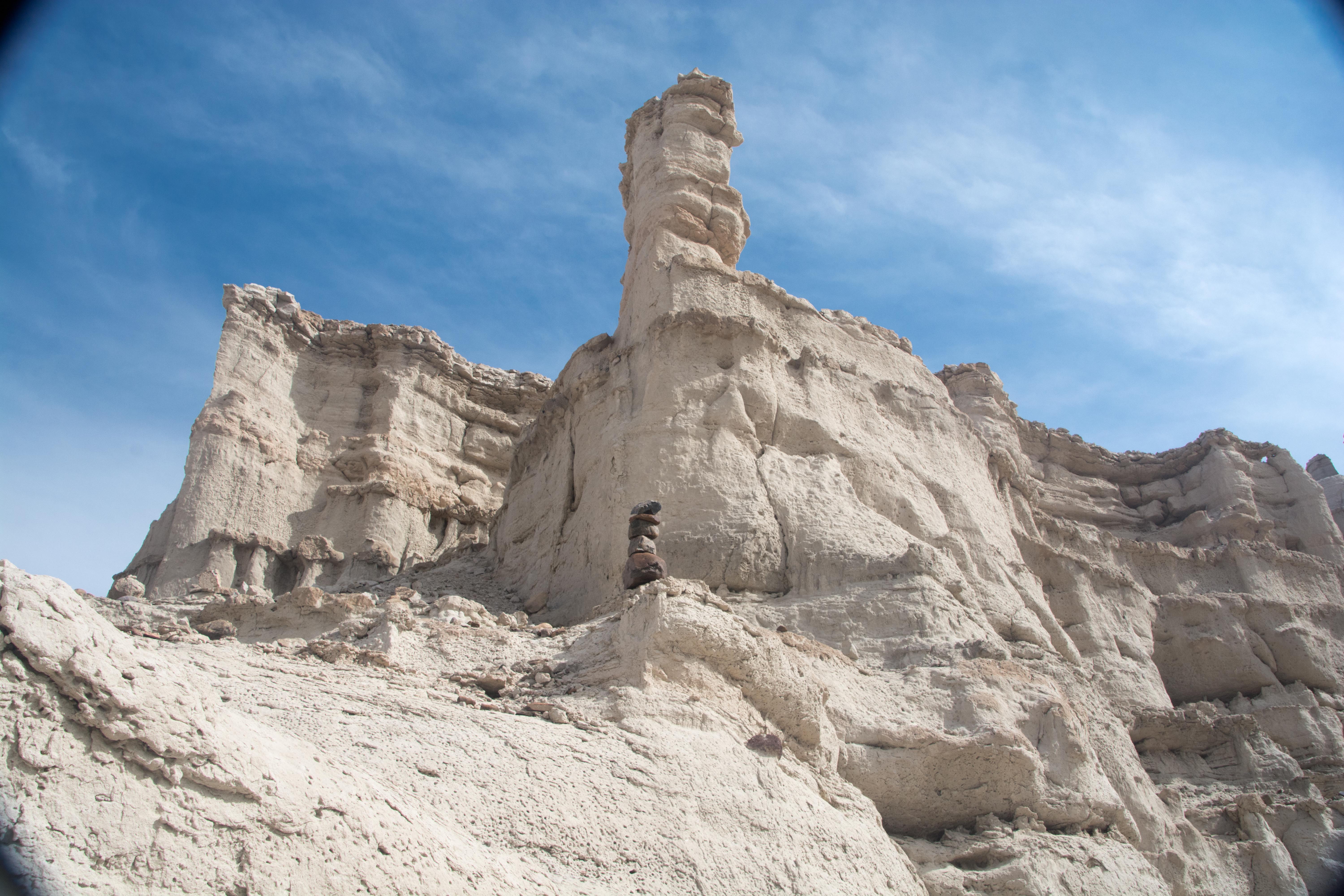
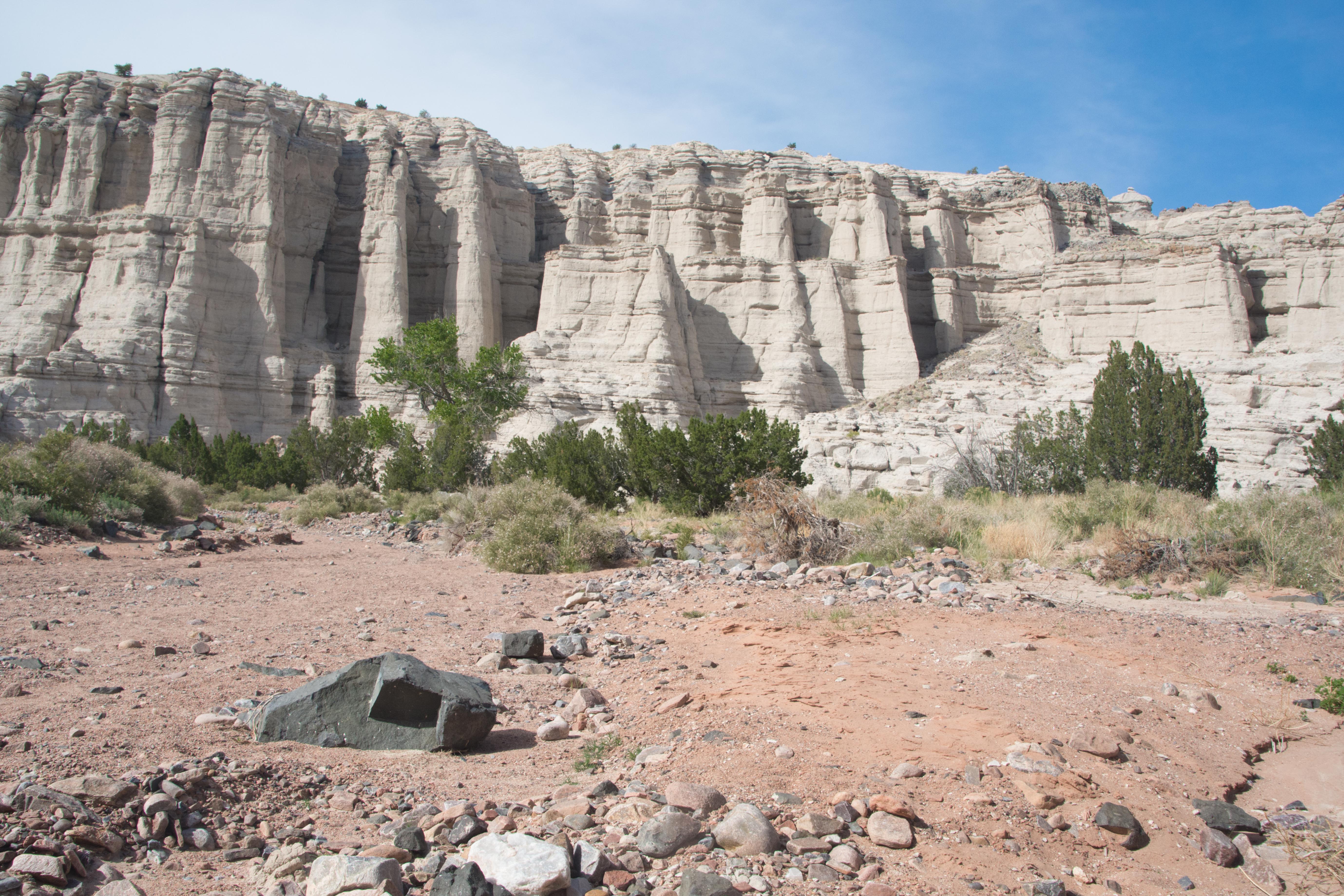
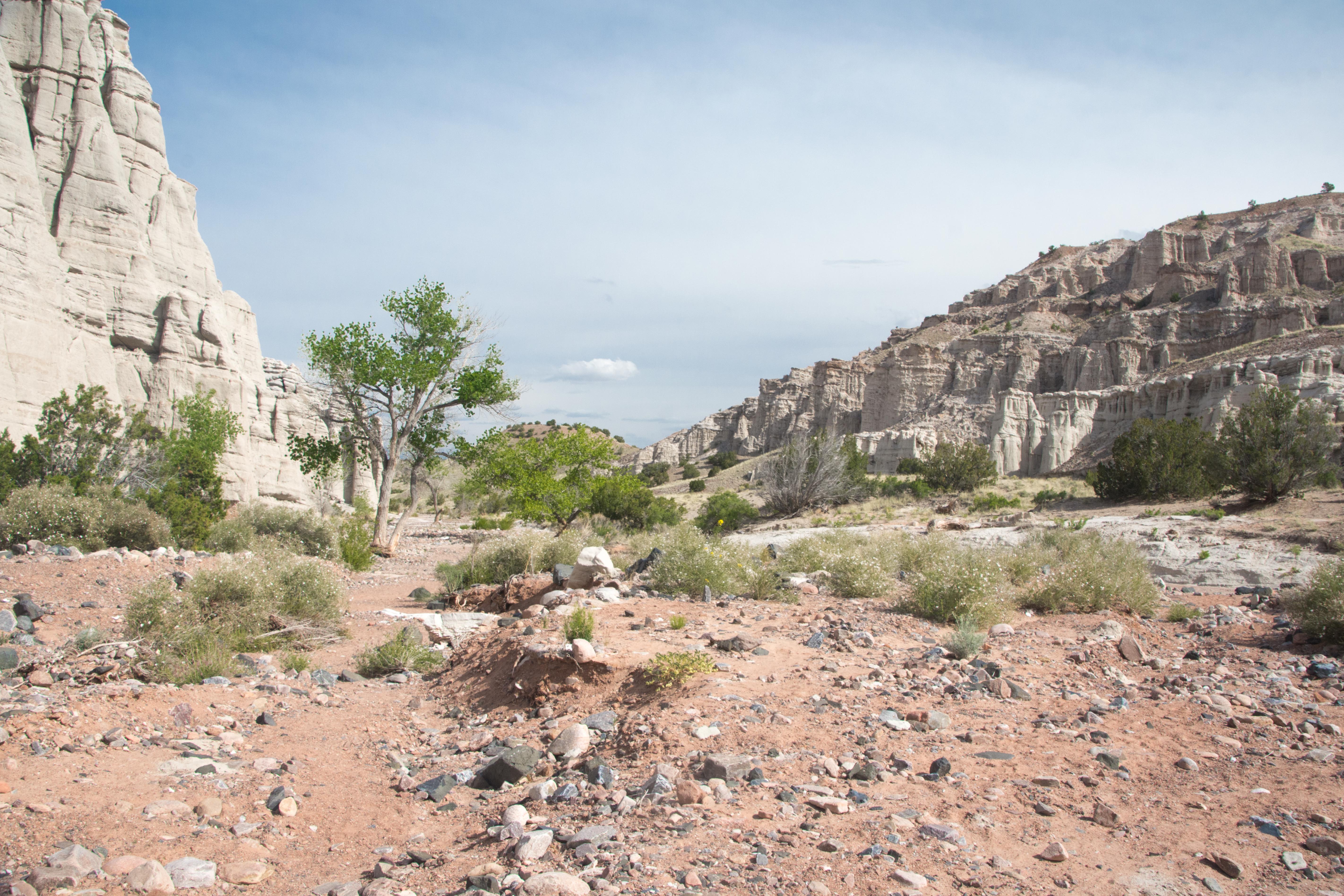
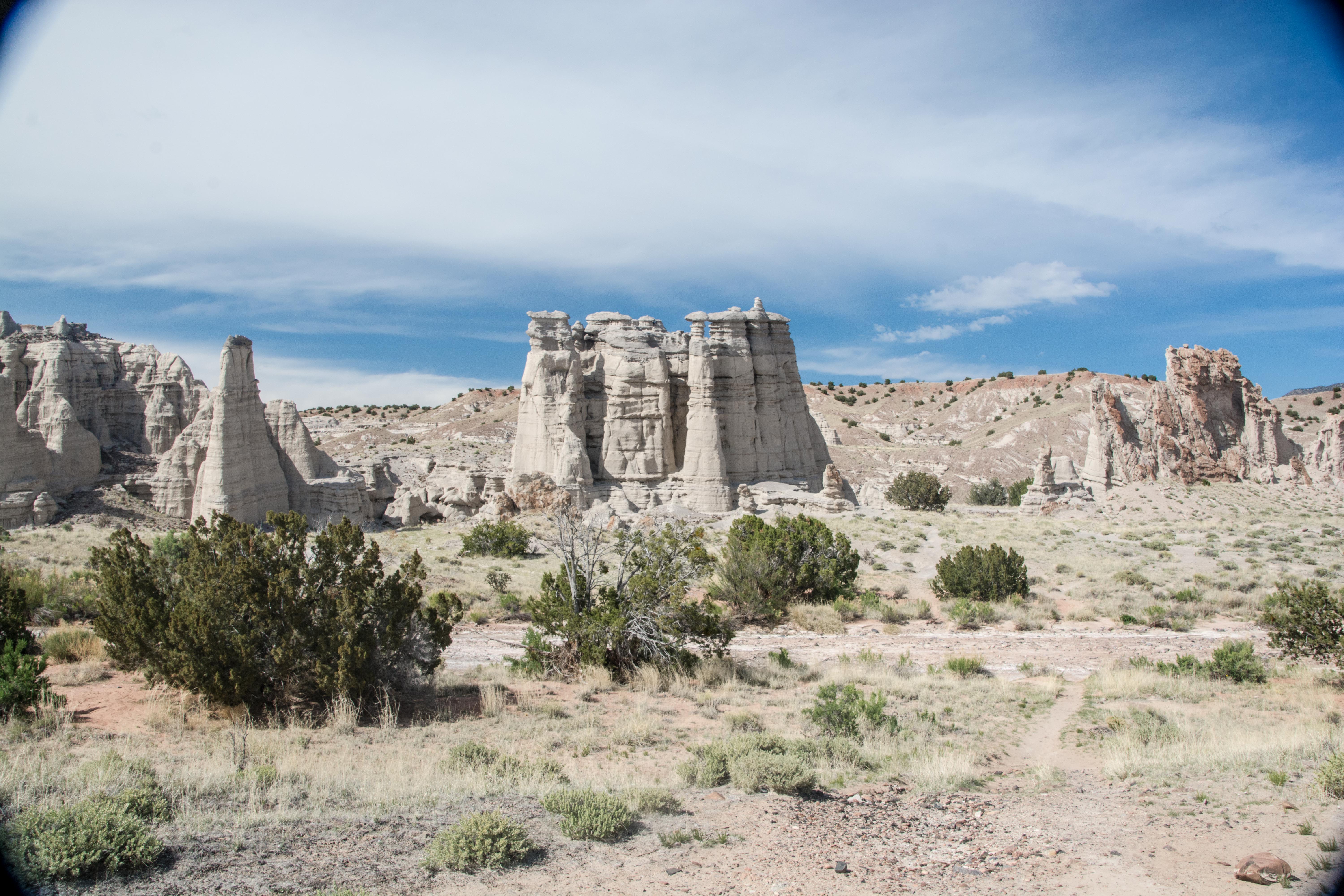 This is a river bed with a spectacular set of white limestone canyons near Abiquiu NM. Georgia O’Keeffe made the place famous with a series of paintings called “White Place”.
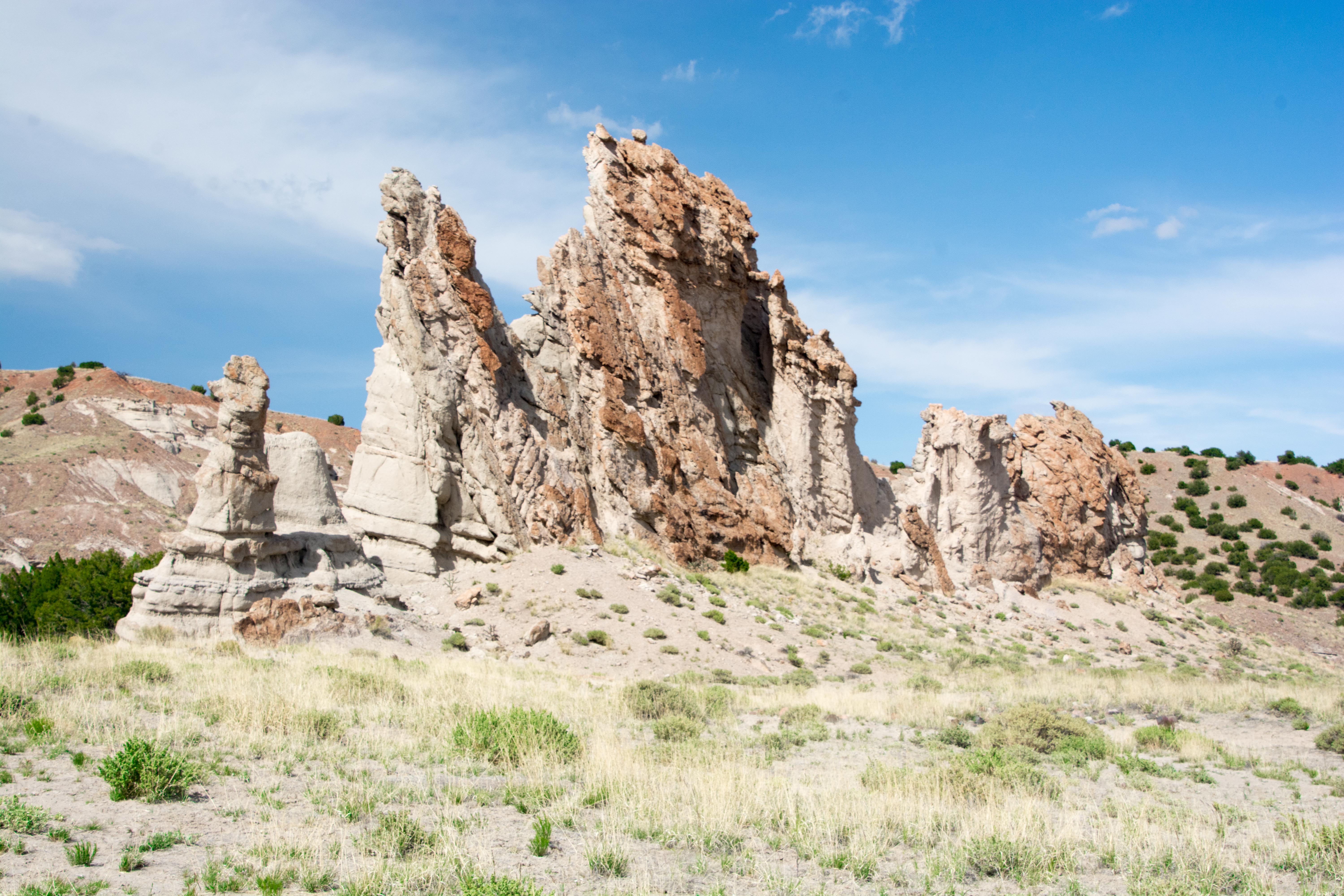
 She lived for many years at the Ghost Ranch nearby and eventually bought and renovated an old hacienda in Abiquiu.
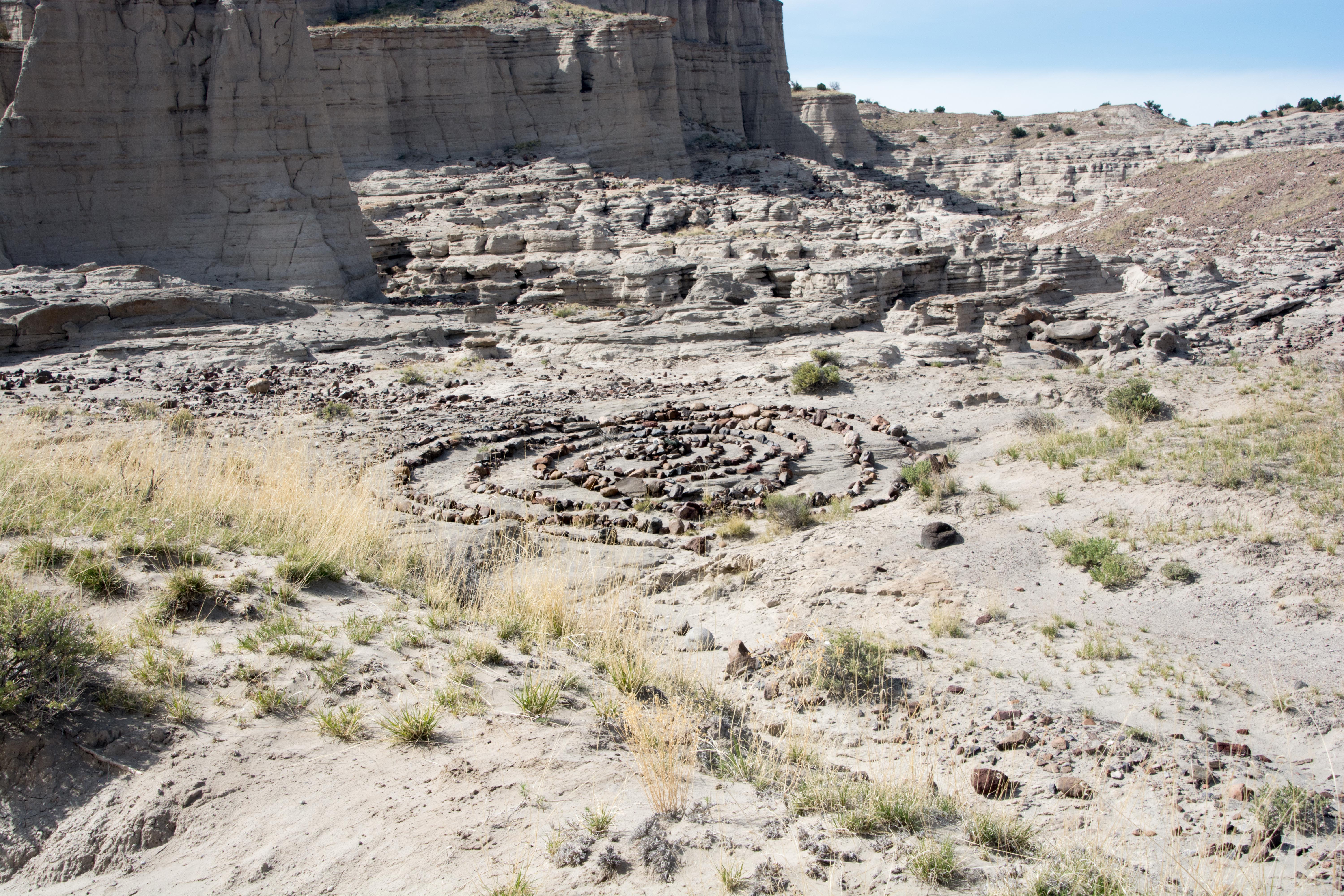


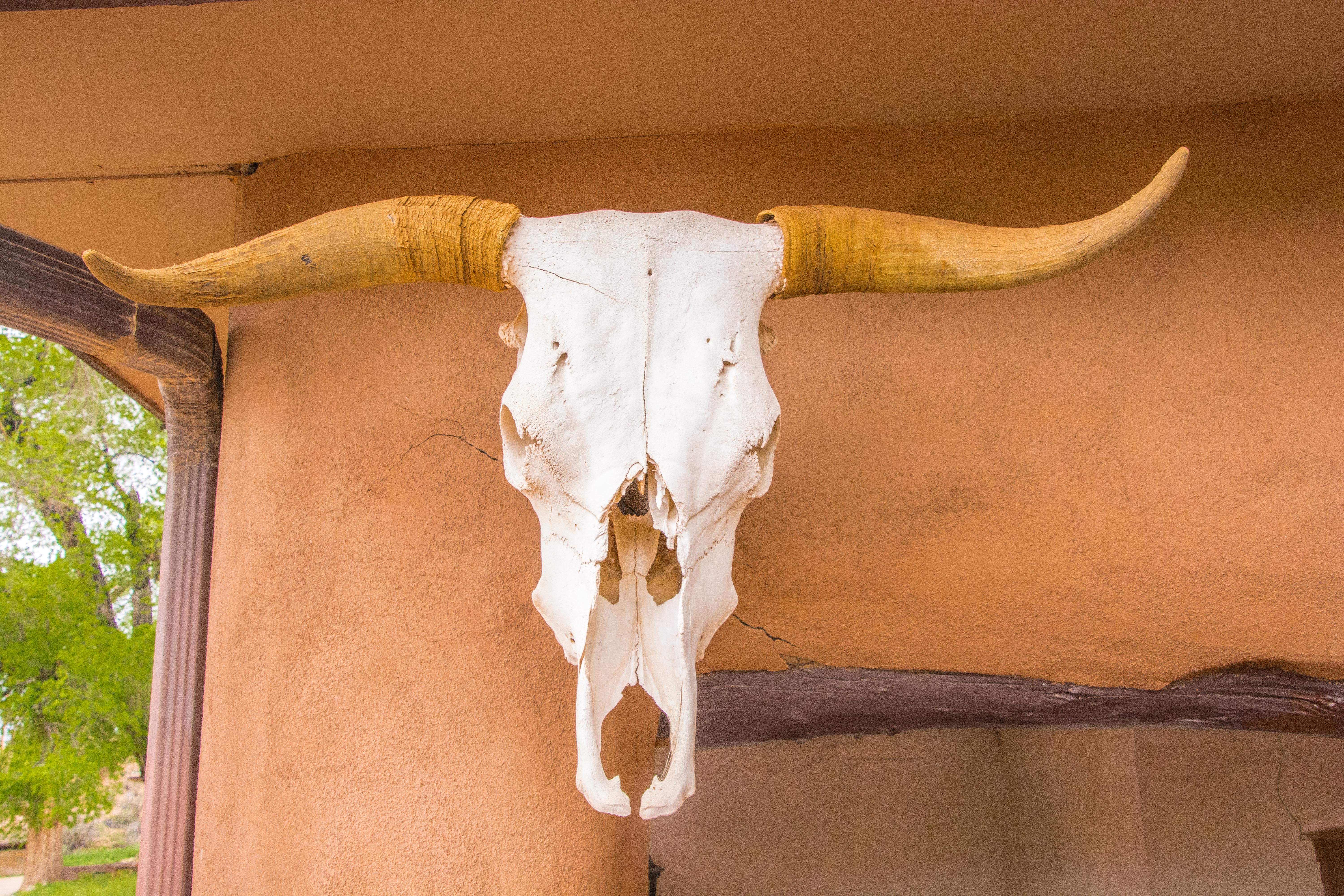
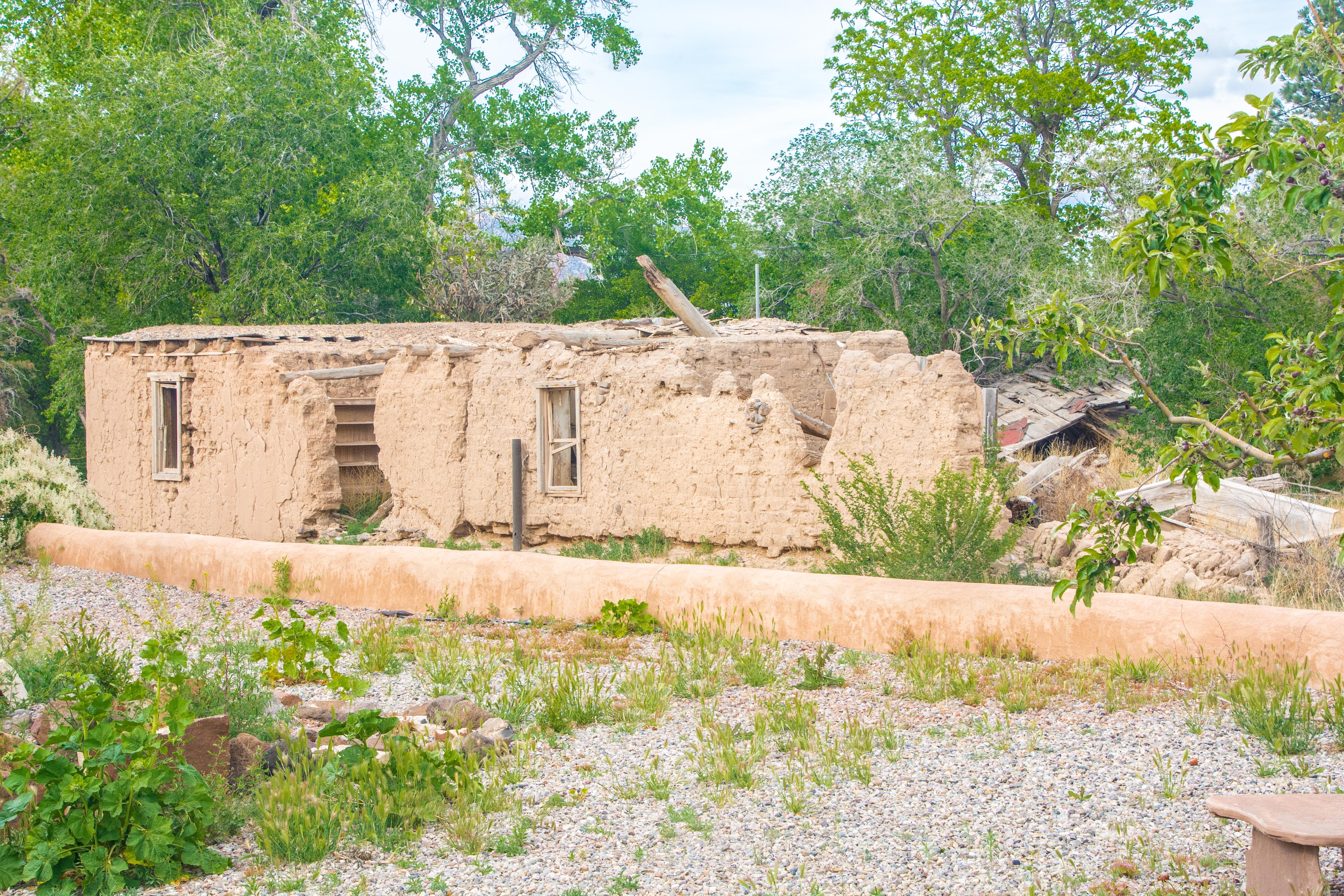 On the side of that nicely maintained mission building is a beautiful example of how an adobe structure that is not in maintenance mode crumbles. I hadn’t appreciated how much maintenance these buildings required until I saw this place.
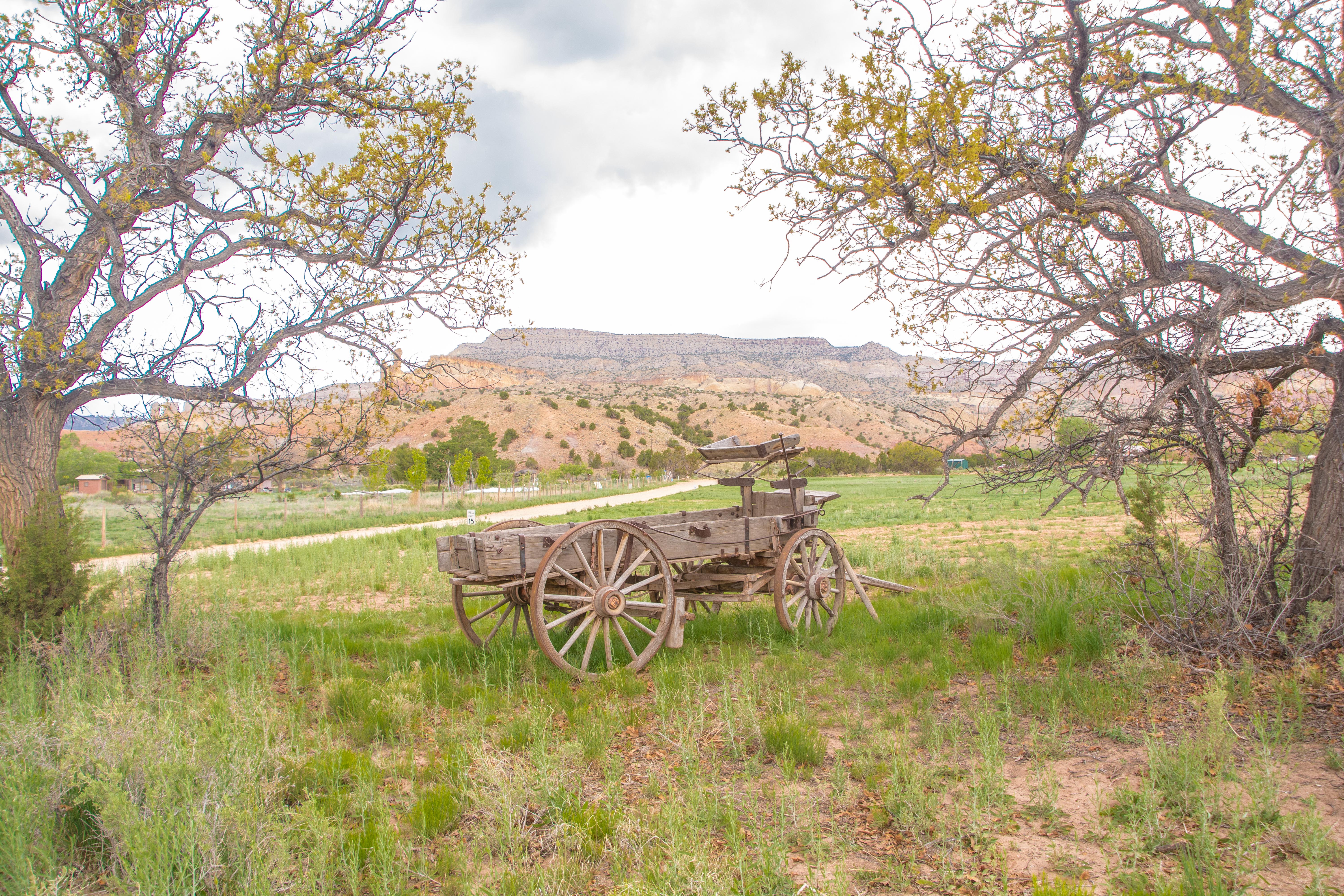
 It is getting on in the day, but we are heading back up in altitude. This view overlooks the Rio Grande again. Steve tells us that he occasionally sees kayaks making their way around the bends here.
 The views, like some of the other places we visited are magnificent, but the clouds limit the photographic possibilities.
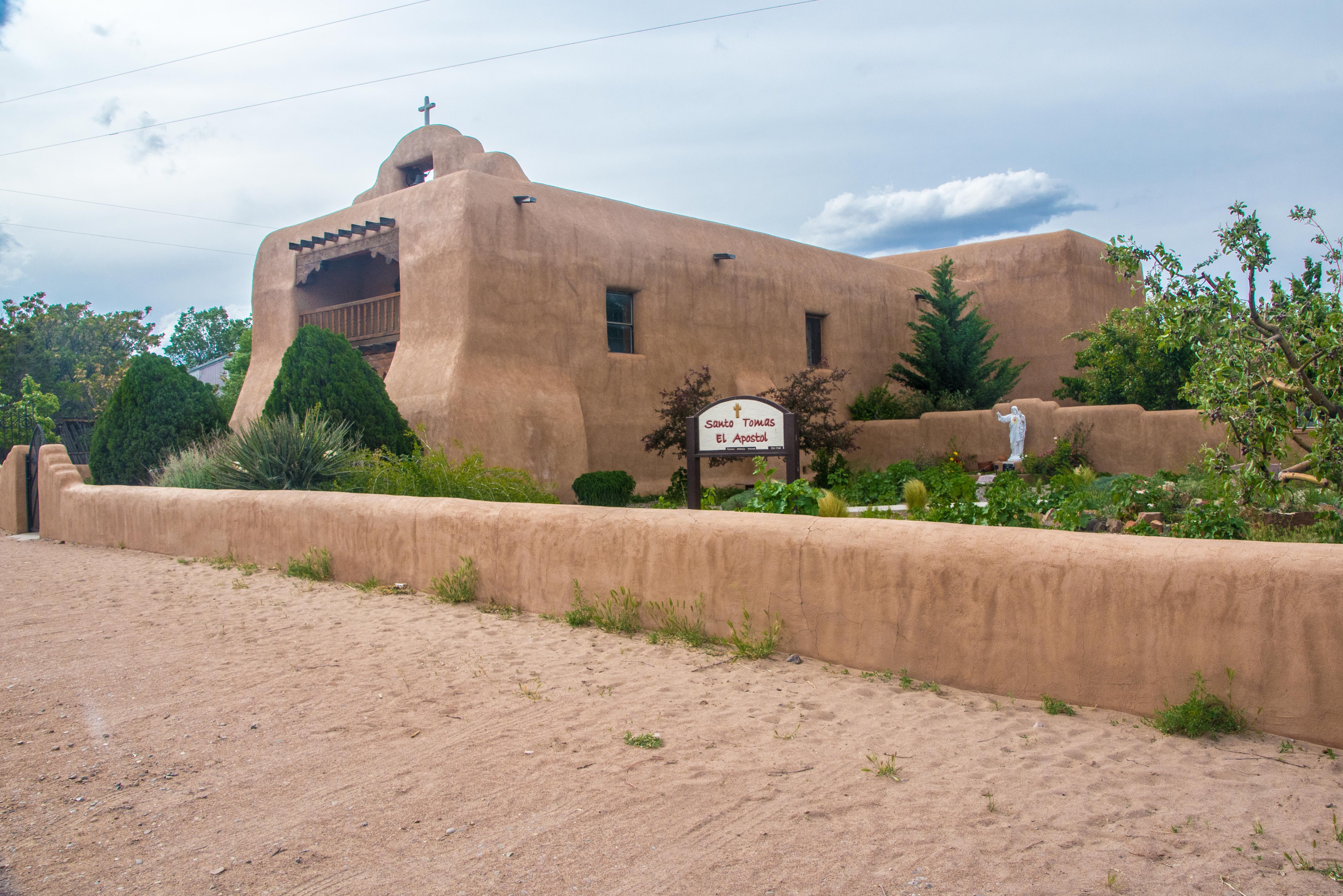
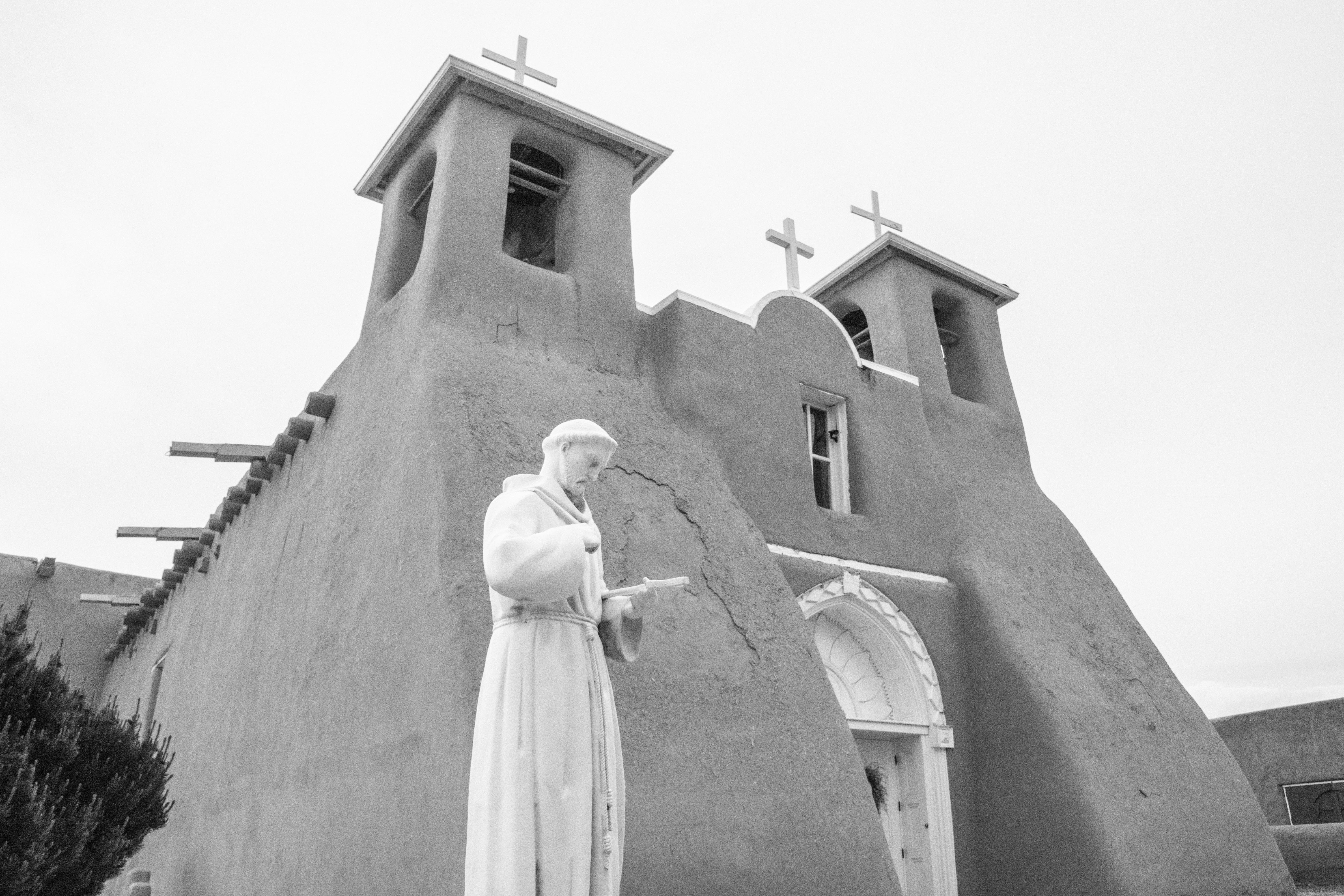 The last stop is the San Francisco de Asis church in Taos. Quite beautiful, but the sun has truly set, so the picture gives me the opportunity to see how Ansel Adams would have tried to capture it!
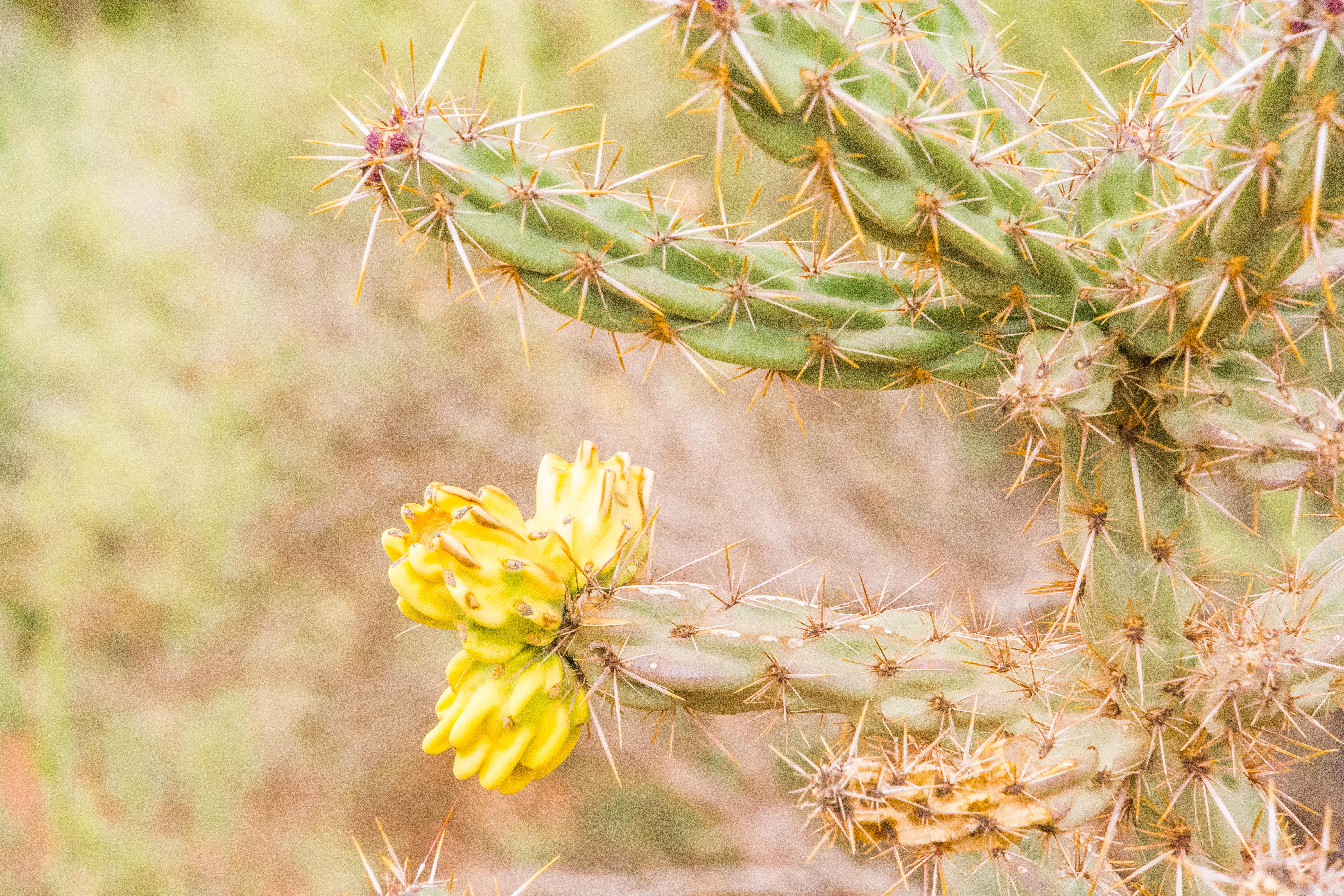 Amazing stuff. He also was able to help me see pictures in what I was looking at, finding the interesting things to focus on (in groups of three, preferably), and then getting them into a framed pattern.