
Today started off well. We get up, go to the restaurant for breakfast, go back to the room to finish packing, and hit the road to Arches National Park. Our breakfast waiter, Pascal, recommends we stop at Goosenecks State Park on the way, so we are on the lookout for it.
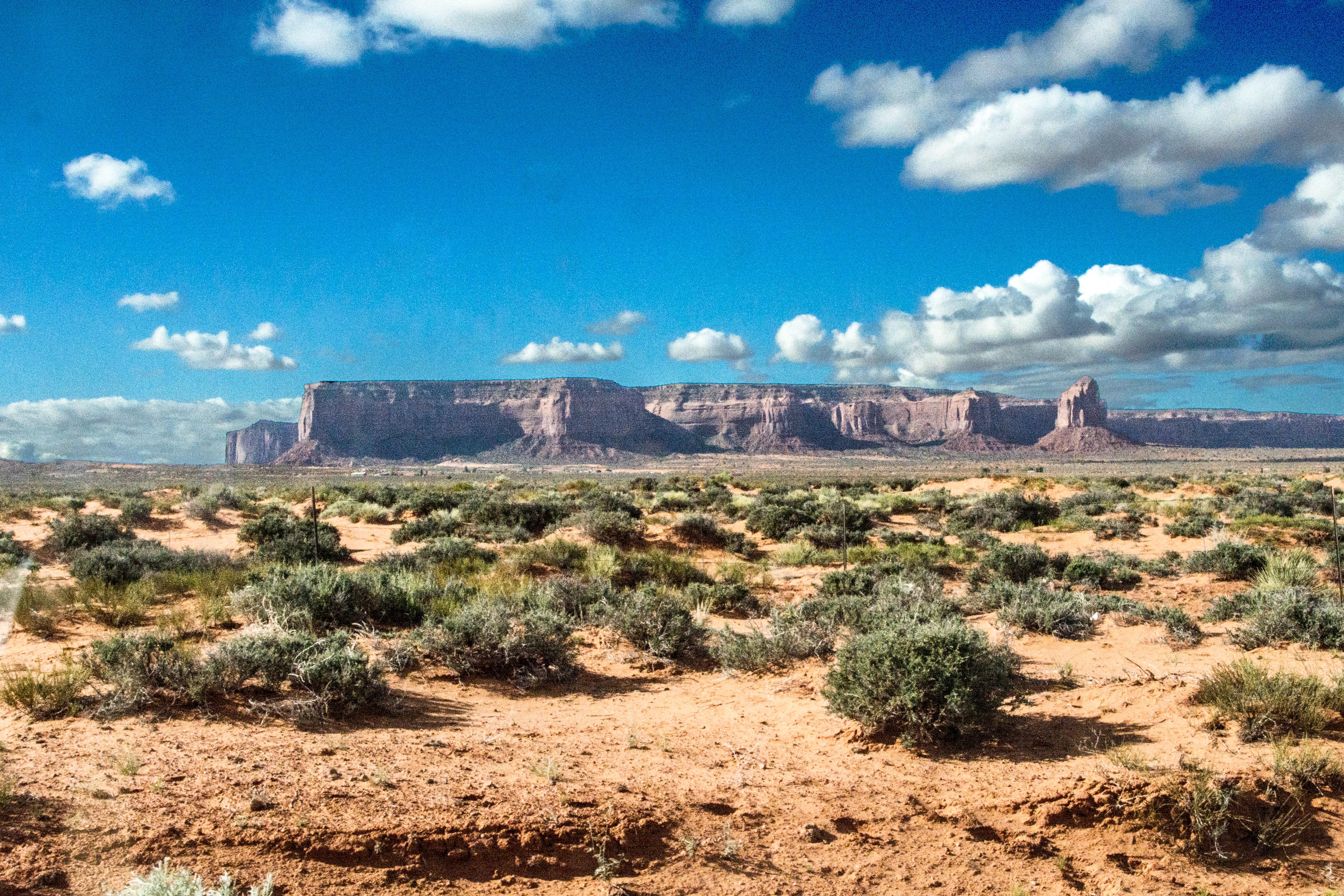
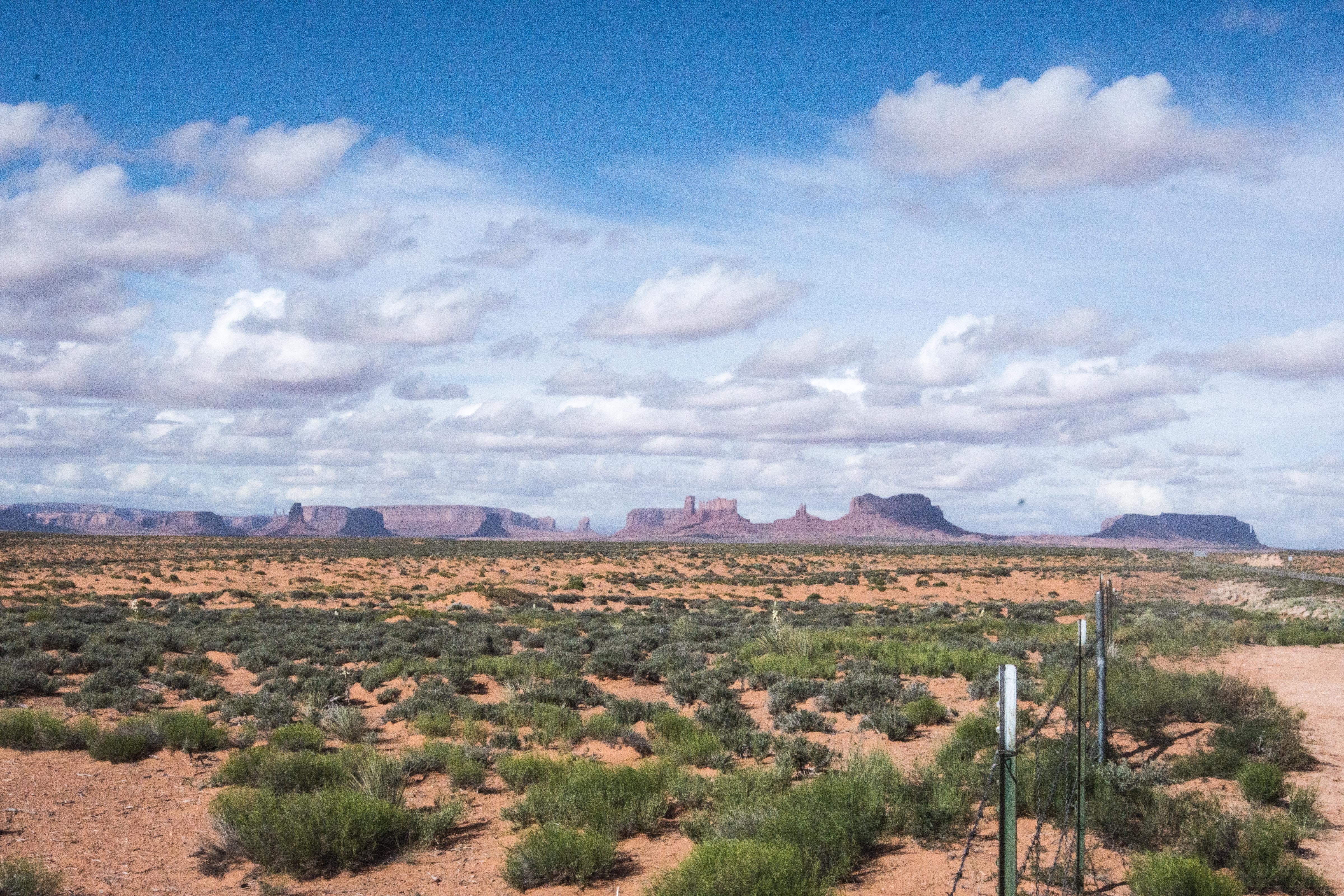
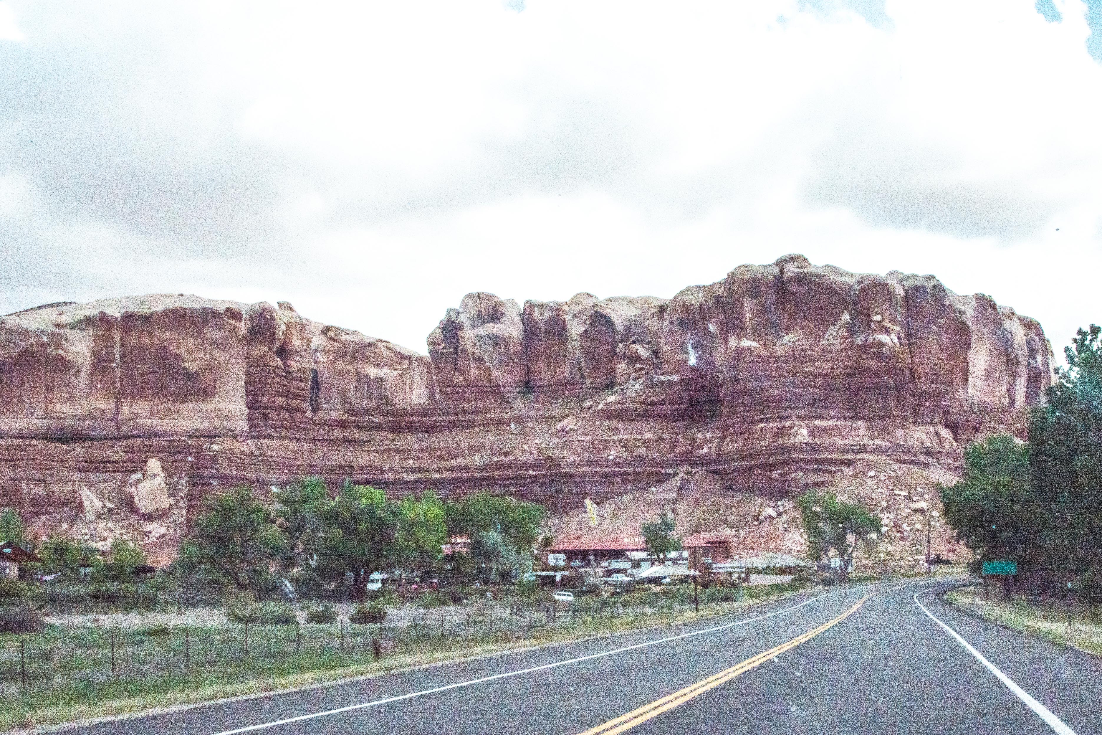
The scenery is fabulous. There seems to be no end to the “monuments” visible, and as we drive along, we keep getting different views of them. Gwen drives so we don’t have to stop so much for me to take pictures.
 As the light changes, the views change as well, so that means more pictures.
 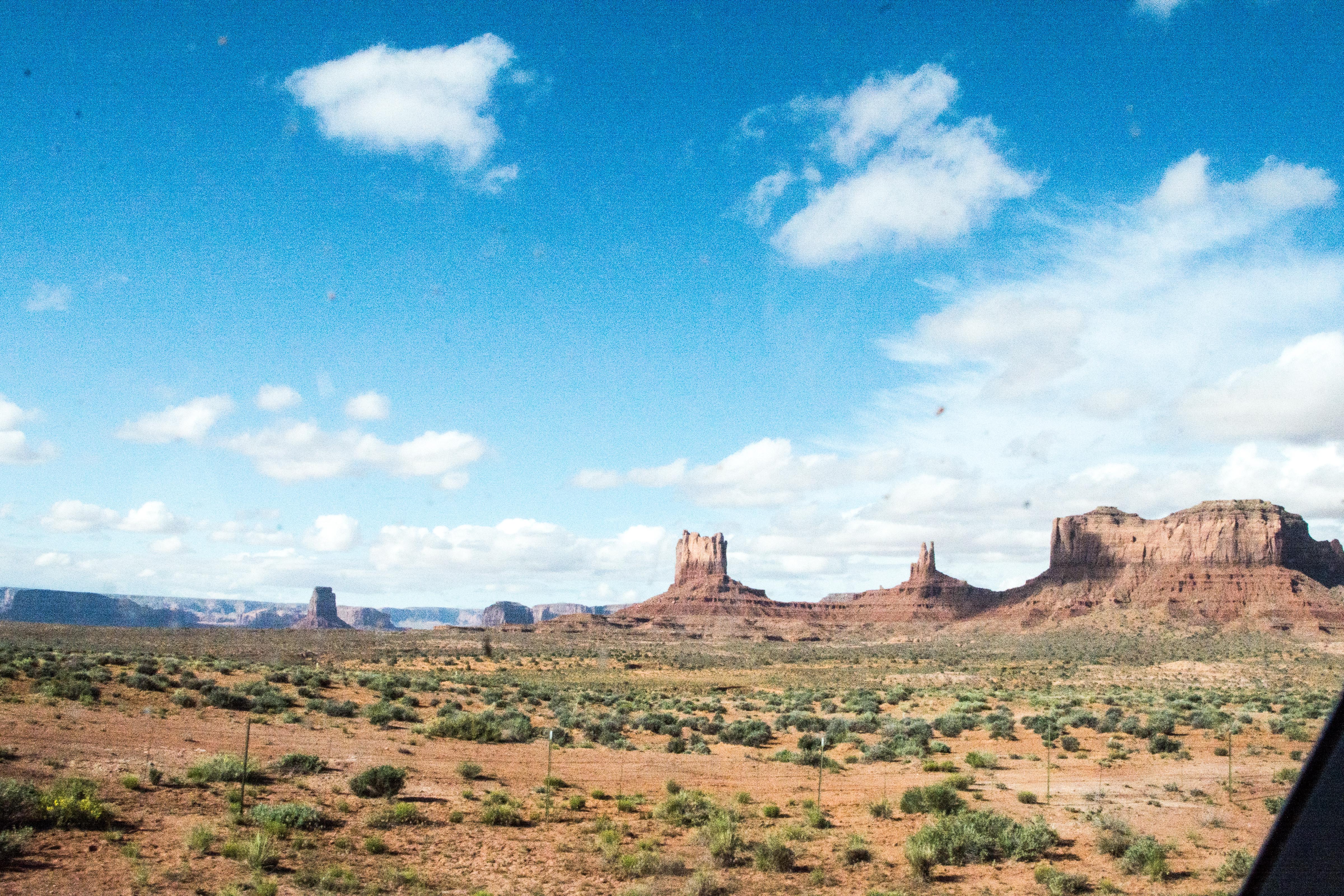 As we continue north, I notice that the vegetation gets more bountiful, although it never really gets out of the desert variety nor the desert look.
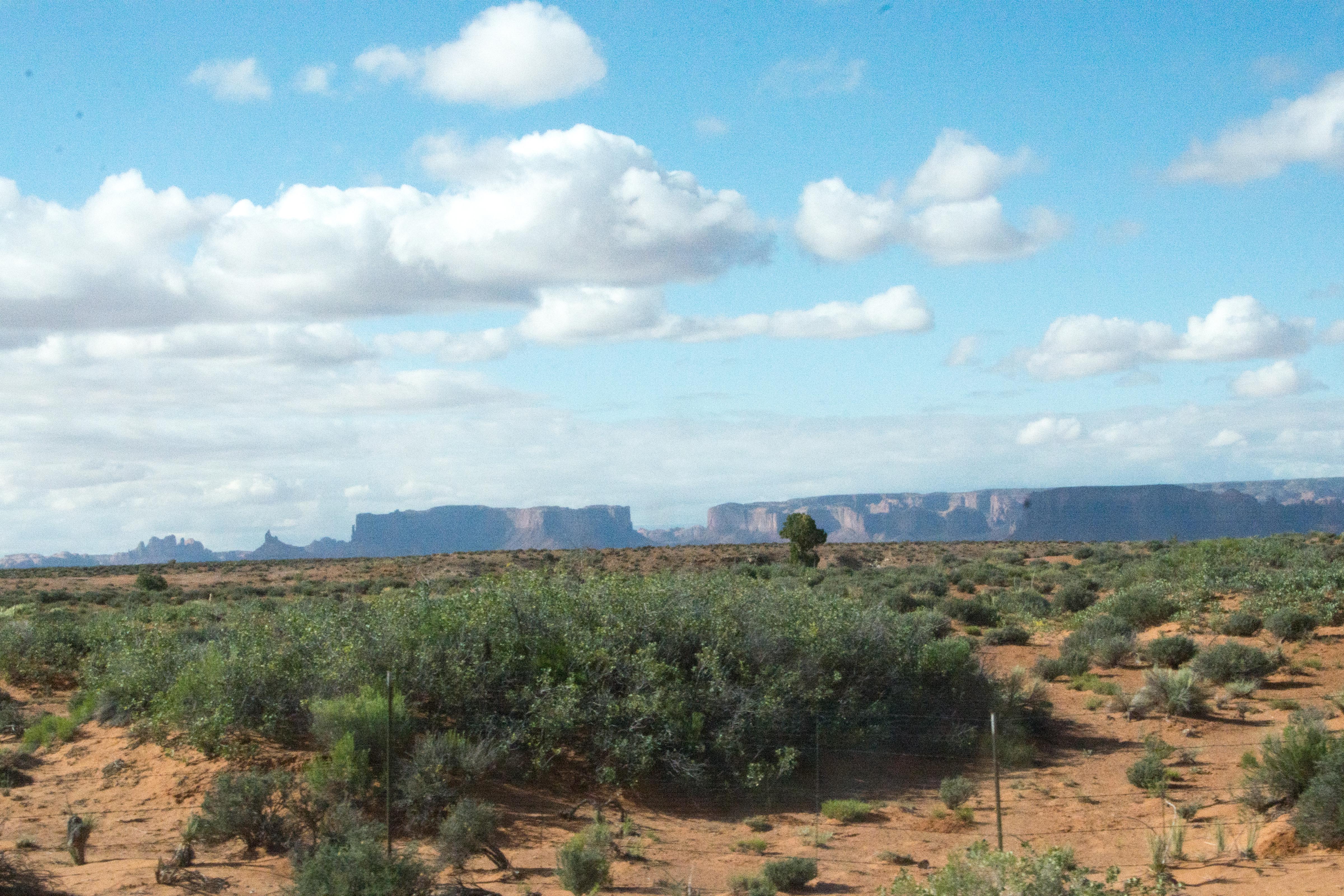
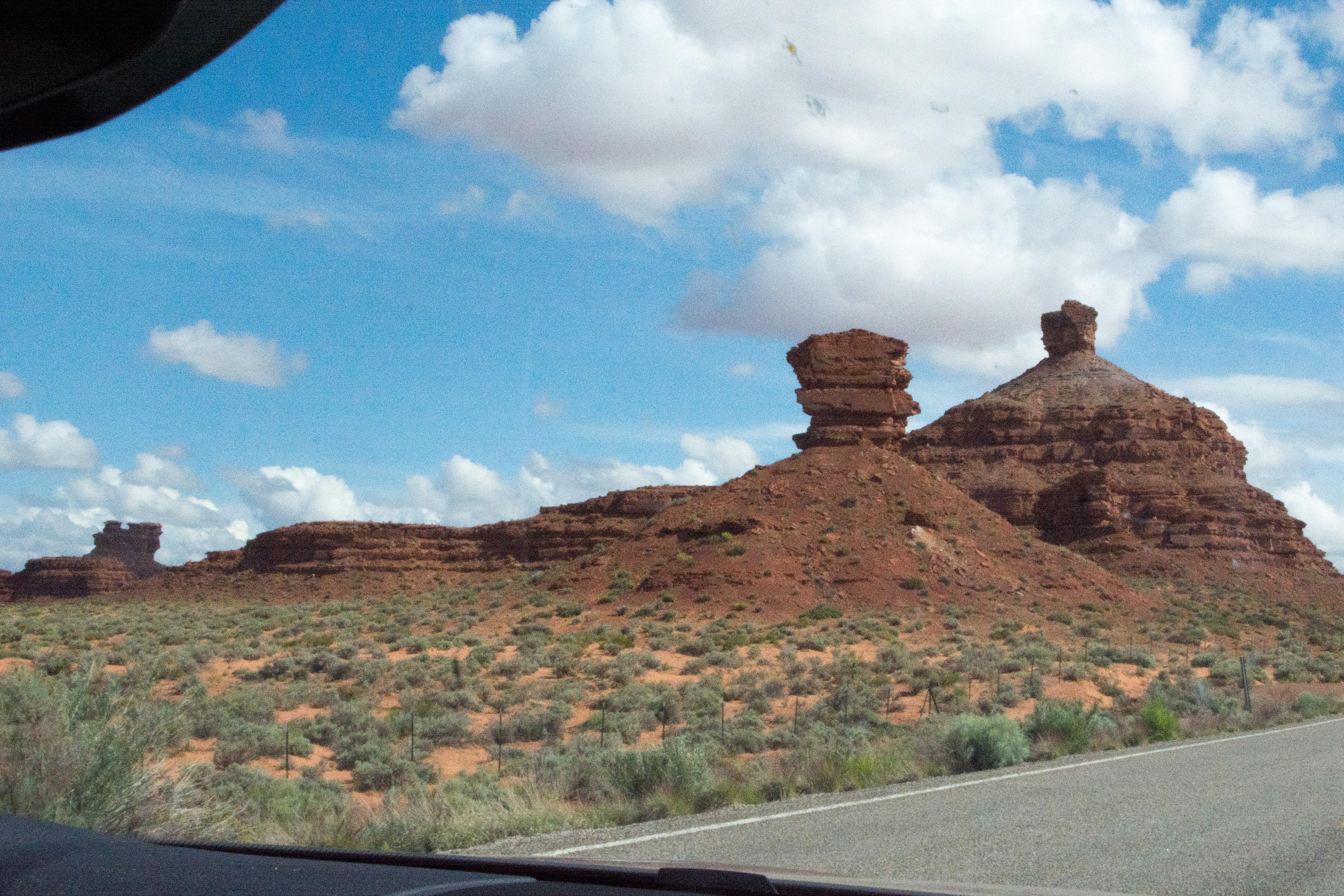
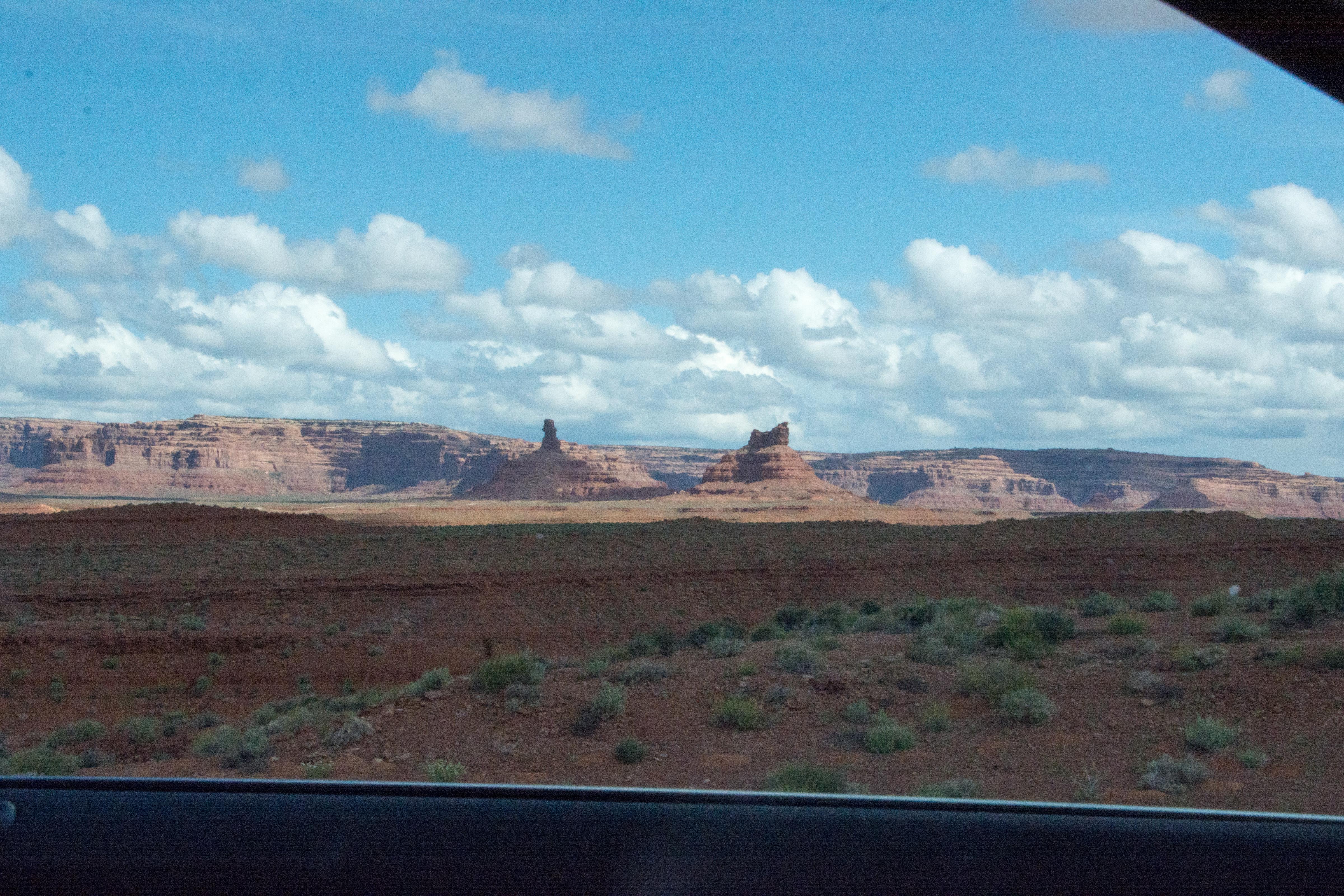
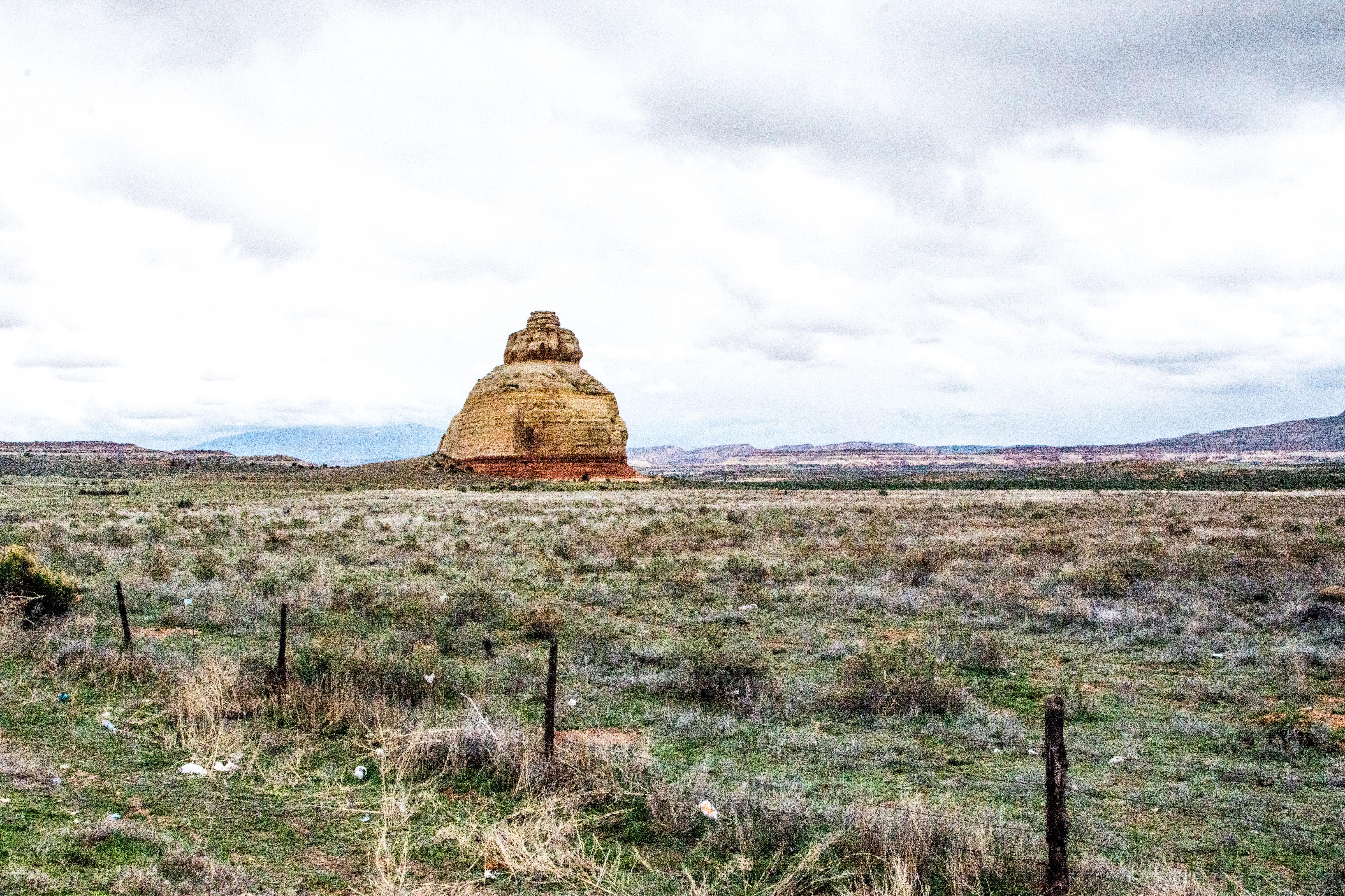
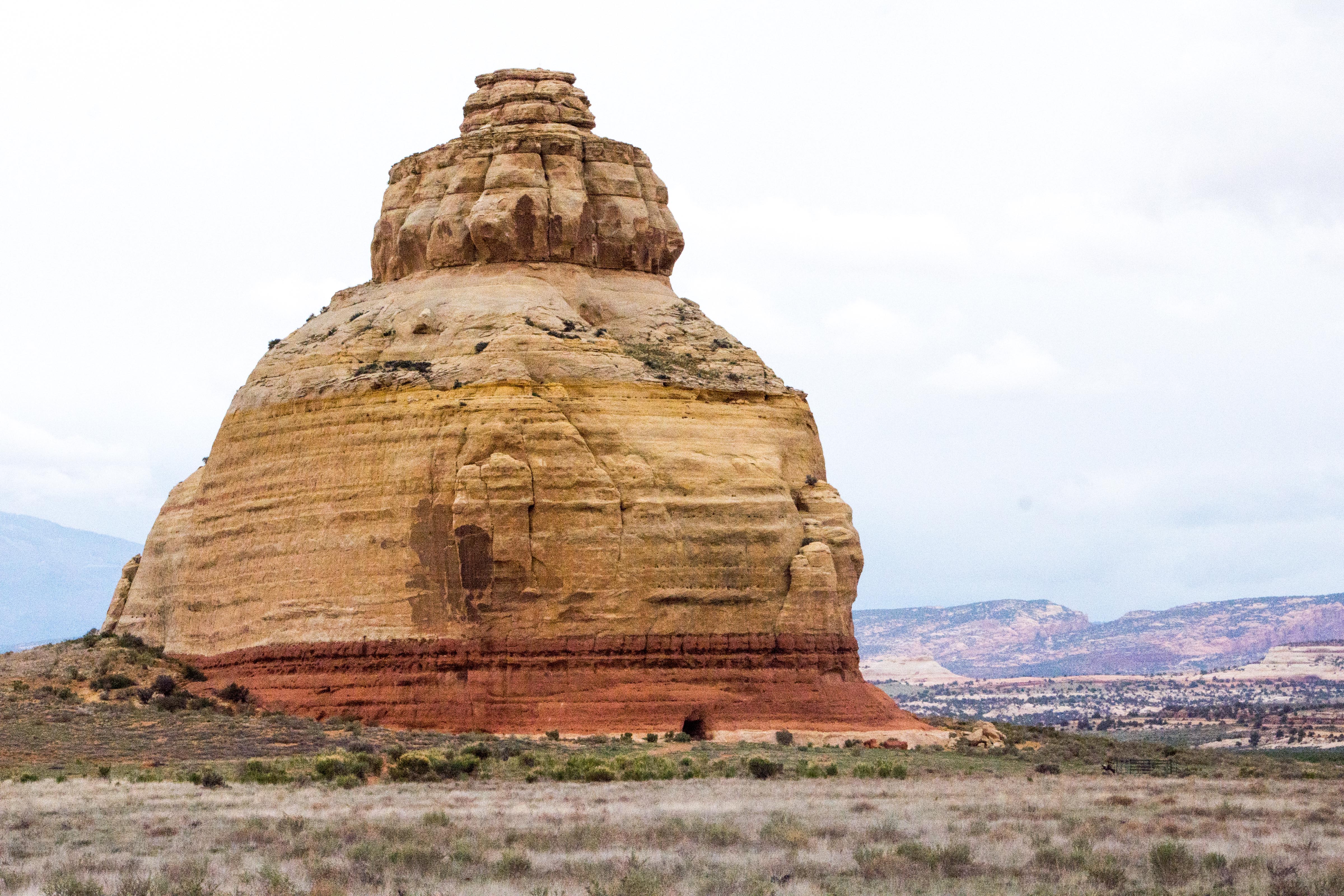
Also the altitude rises, and soon we are seeing juniper bushes as well as the occasional tree interspersed. Before Gooseneck National Park, the most spectacular landscape element is Mexican Hat.
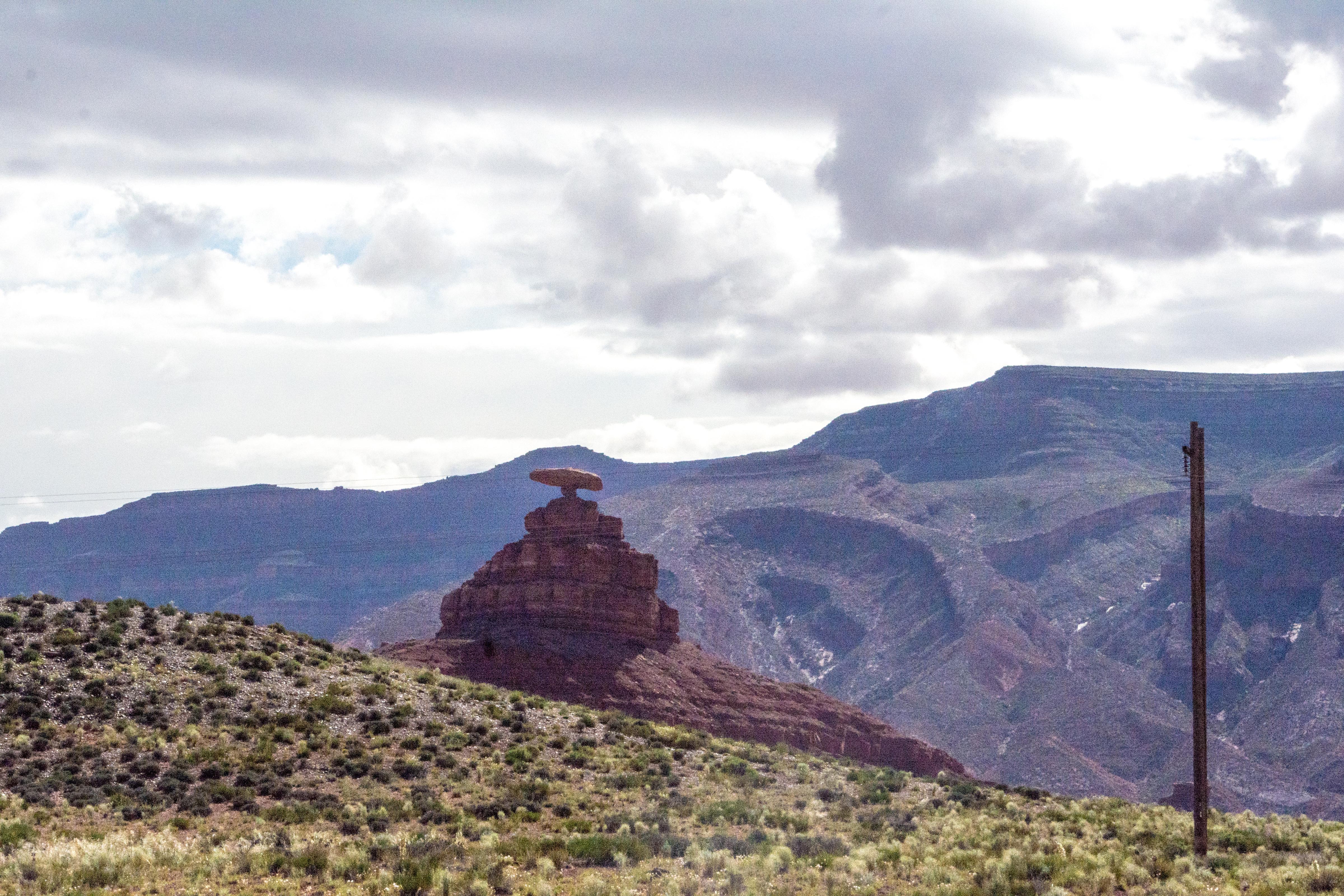
Mexican Hat
It is indicative of the strange results that occasionally are possible as the wind and rain erode the softer underlying layers of dirt leaving a large, harder stone balanced on top.
We soon reach Goosenecks State Park, about three miles off the main road we are on.
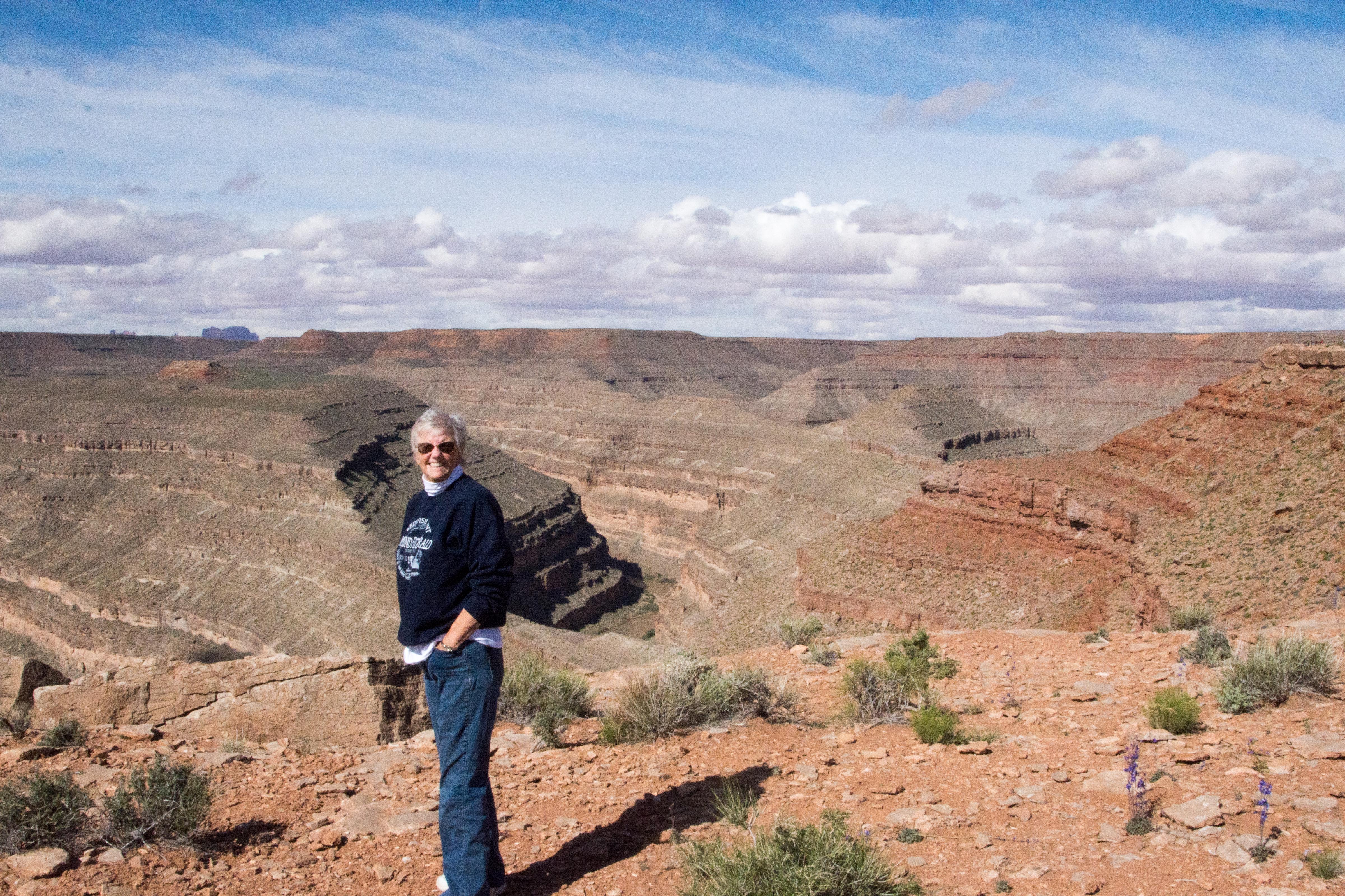
 The prominent feature when we get there is quite a surprise, even though Pascal did his best to describe it to us. Like a mini-Grand Canyon, at the bottom of a thousand foot drop is a river, muddy brown. (Note the camper on the ridge at the right of the picture at left.)
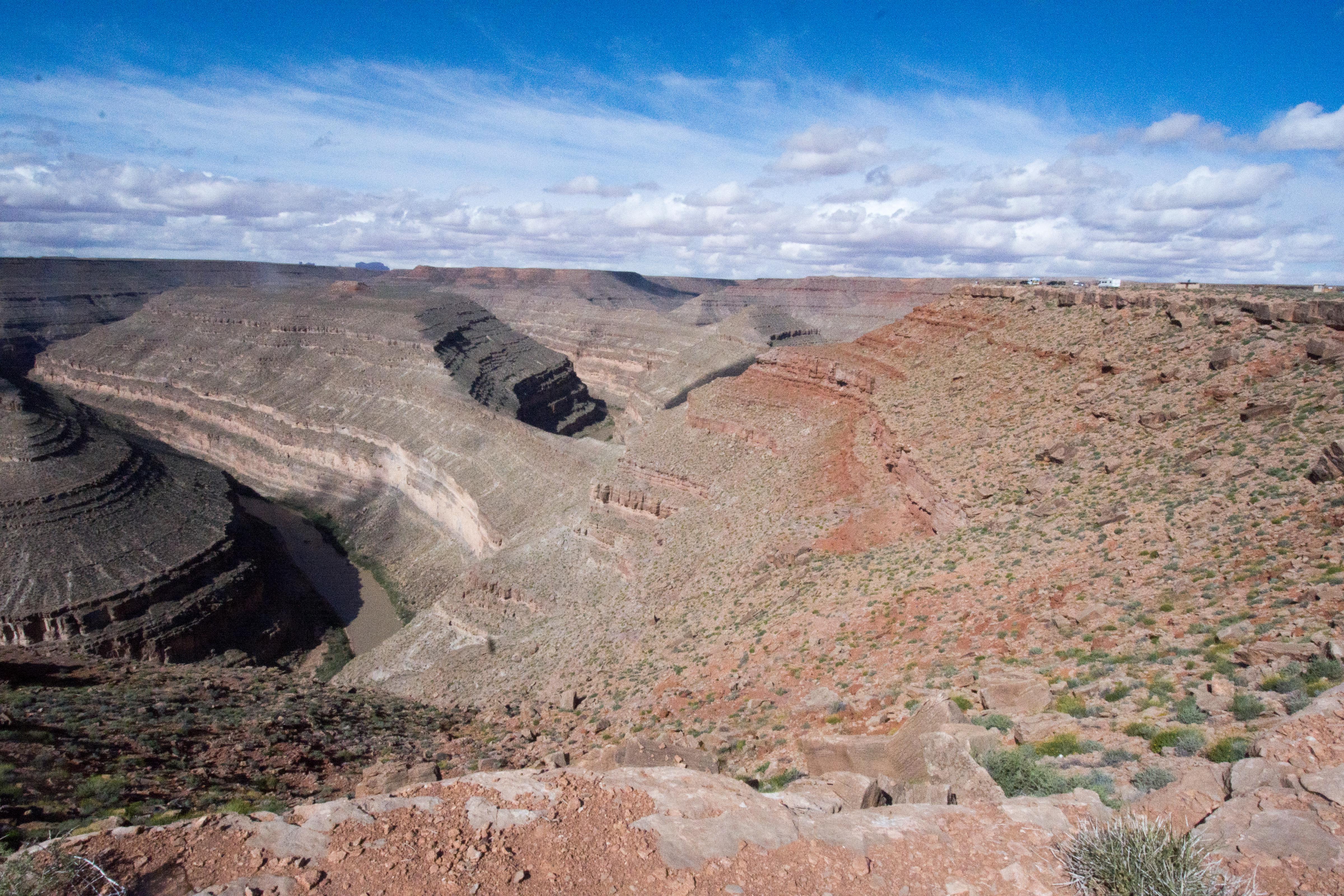
 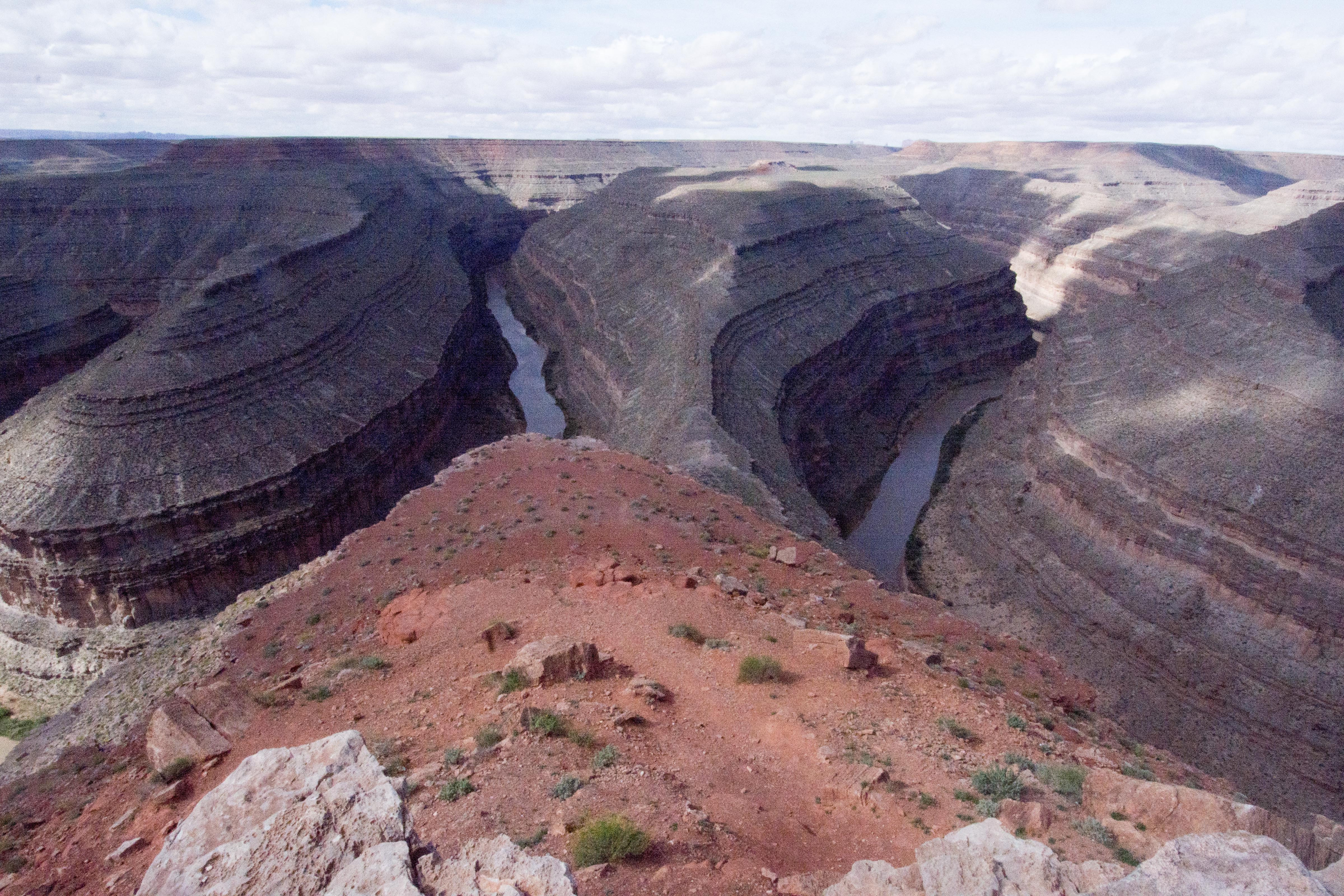 The goosenecks themselves are created as the river’s path flowed back and forth winding its way from one end of the basin to the other. Once in that pattern, the river cut through the layers of the basin floor creating the almost vertical drops It had more of the aspect of a long snake than goosenecks, but what are you going to do, the name “Snake River” was already taken.
 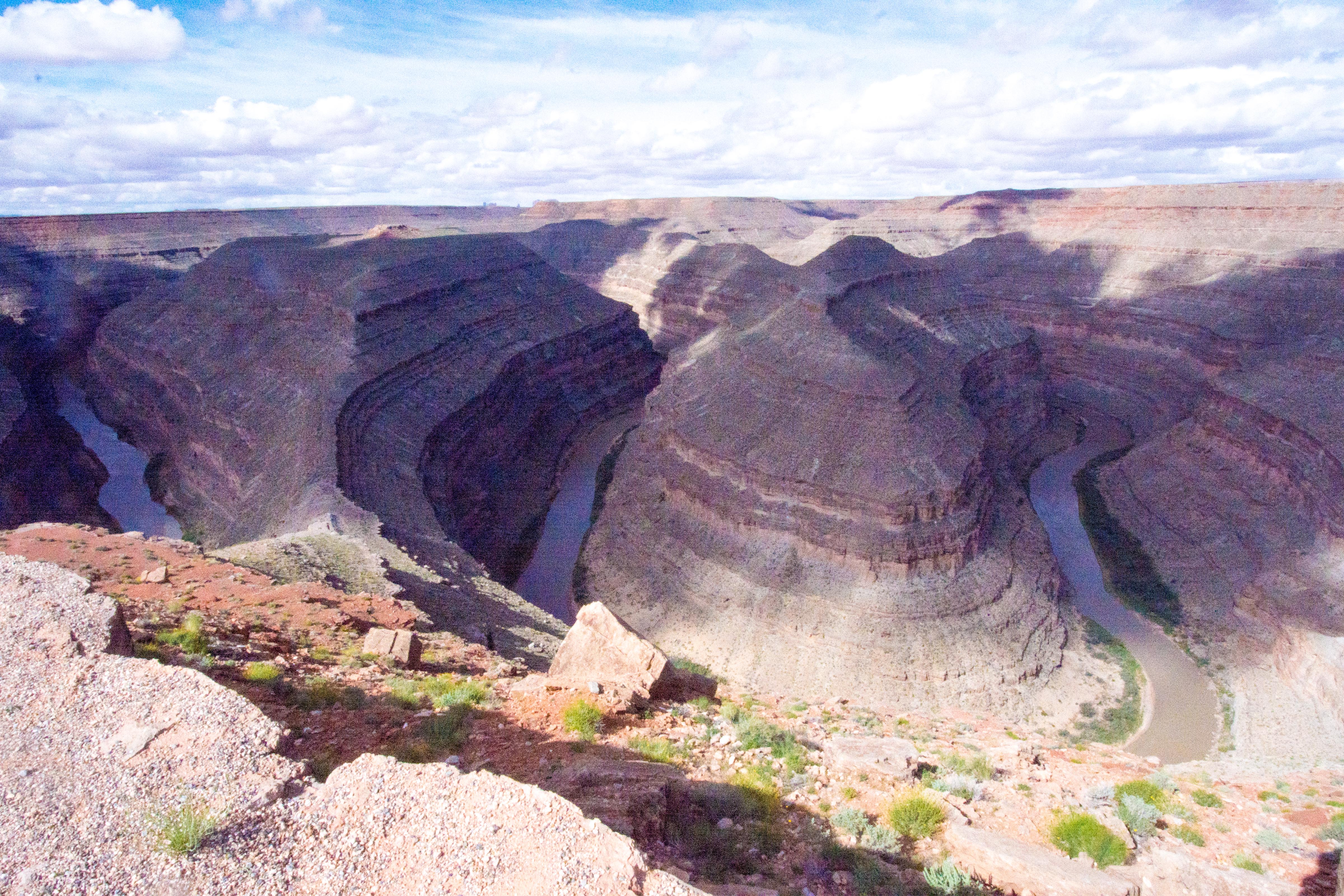 It has the aspect of the river leading up to Victoria Falls in Africa, winding back and forth having worn vertical views down through the underlying rock. h
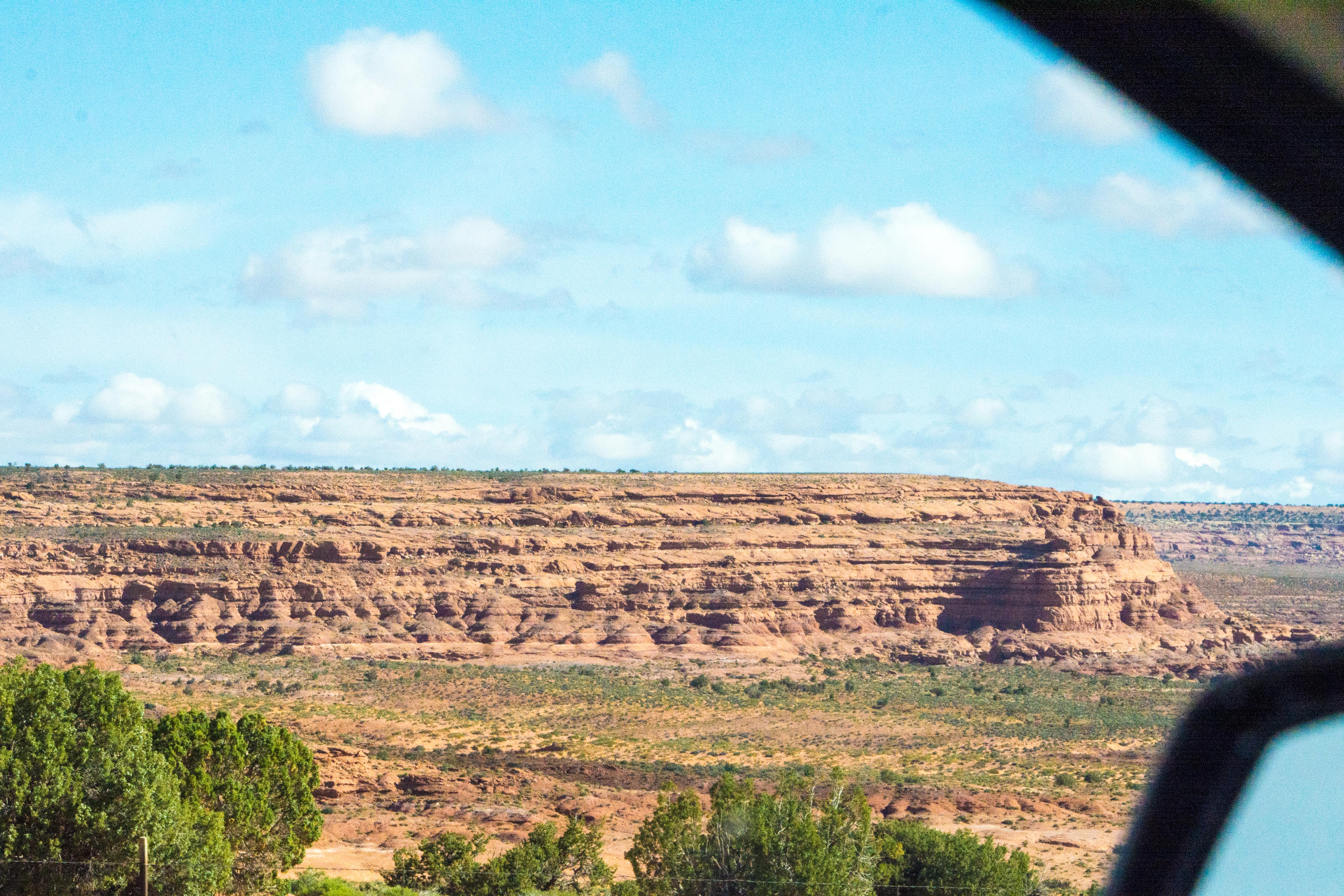
The views are no less spectacular as we continue on from Gooseneck on toward Arches. The buttes get even more unique, and the vegetation even more diversified.


 The most spectacular aspect of the drive is the falling snow that we drive through once we are in and past Blanding, Utah.
 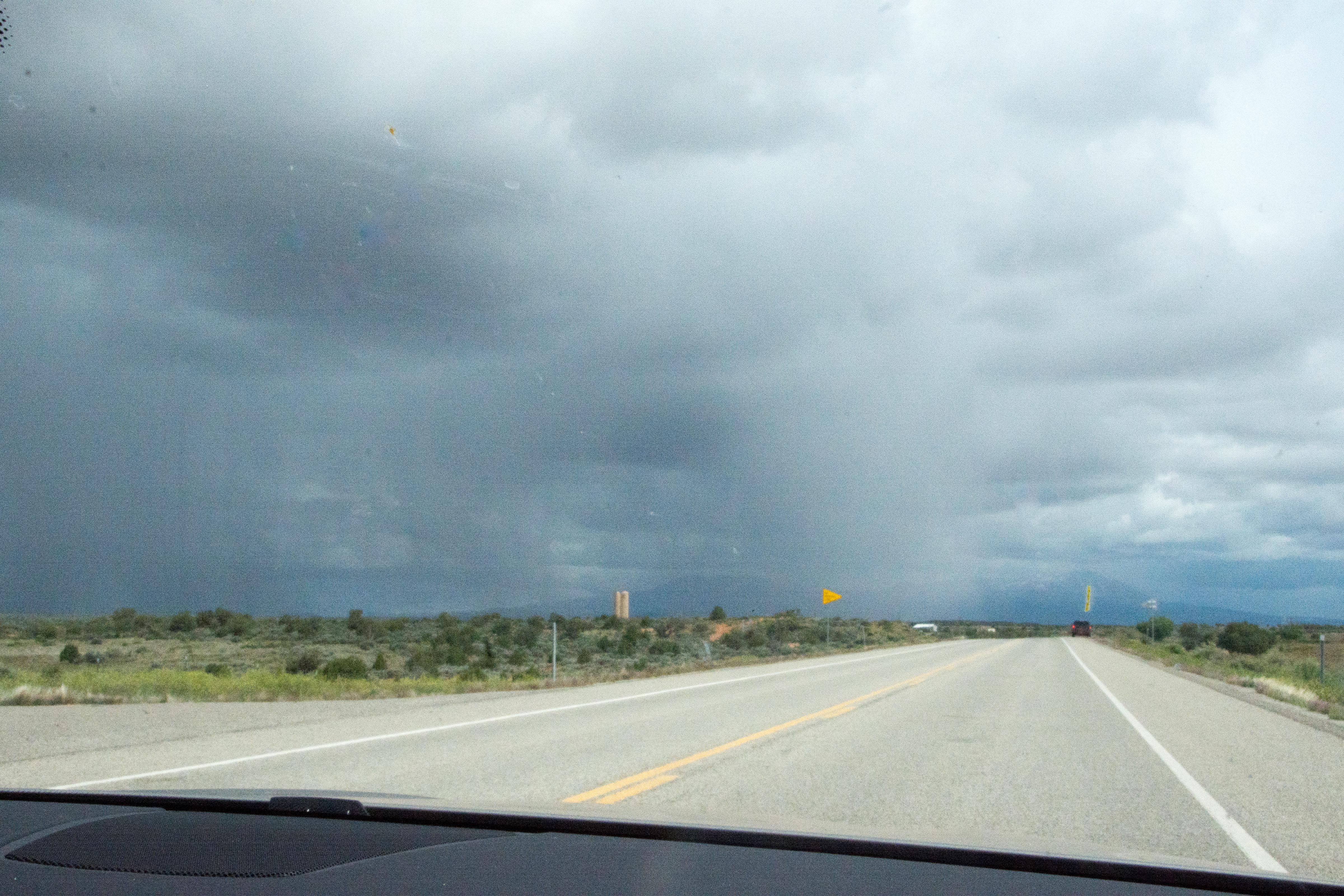 It is more like mini-hale, and it didn’t stick, but it occasionally made the visibility hard.
Our next stop is Moab, Utah. This is just five miles from Arches National Park, and seems to be also a recreational hub for all kinds of adventurous sports. The signs call this “Canyonlands”. In addition to the canyons associated with Arches, there is a recreation-sized river where people use kayaks, canoes and boats of a variety of configurations. There are lots of trucks and camper-vans pulling 4-wheel drive jeep-like vehicles, so I presume there are also lots of places to use them, although we didn’t see one close enough to the highway for us to recognize.
 The first “Arch” we come across close to Moab is the Wilson Arch. A nice preview of what is to come!
We get to our hotel, check in, and then head out to do our first visit to Arches.
