October 2, 2013

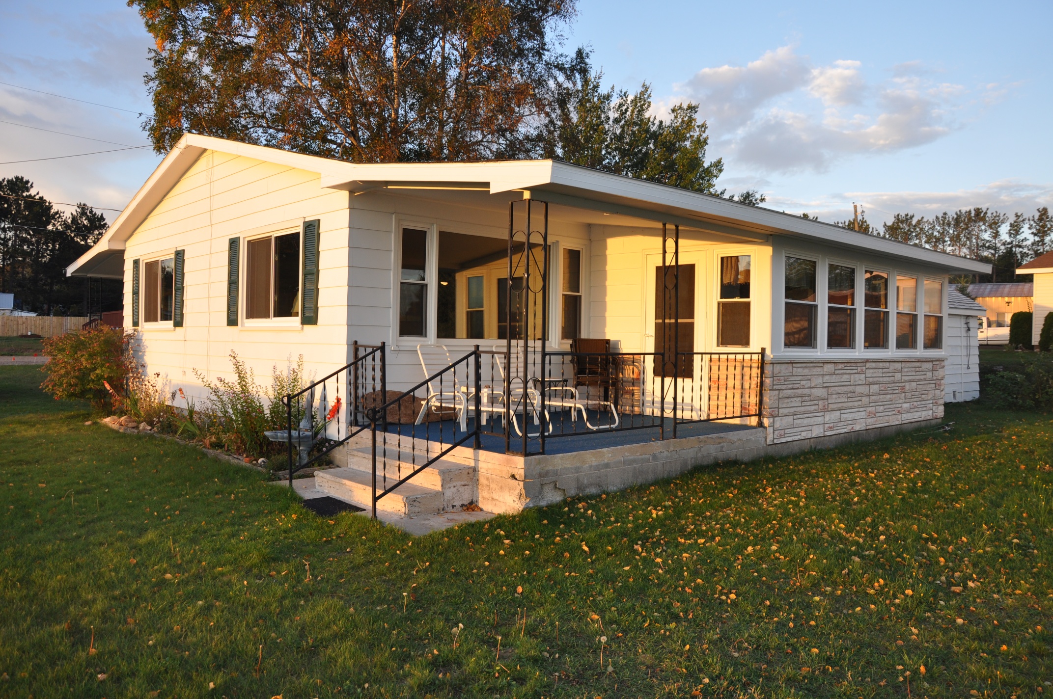
The next morning, we cleaned up, and with sincere thanks for the opportunity to stay and spend time with Hank and Beth, we head for Bayfield, Wisconsin.  Our destination is a B&B called the Thimbleberry Inn, happily situated on 400 feet of shoreline just west of Bayfield.  It is a very pleasant place with only four guest rooms.  Sharon and her husband Craig run the place, and while they are trying to sell it (they would like to retire), they still run a classy operation.  Each evening, we get dessert in the form of some freshly backed goodie, and then at 8:00 am each day, a pot of coffee and tea is brought to our room with a muffin of some kind (again, freshly baked) to whet our appetites for the full-on breakfast served in the dining room upstairs half an hour later.  Sharon, in addition to being an excellent baker and chef, is very informative about the town, and environs.

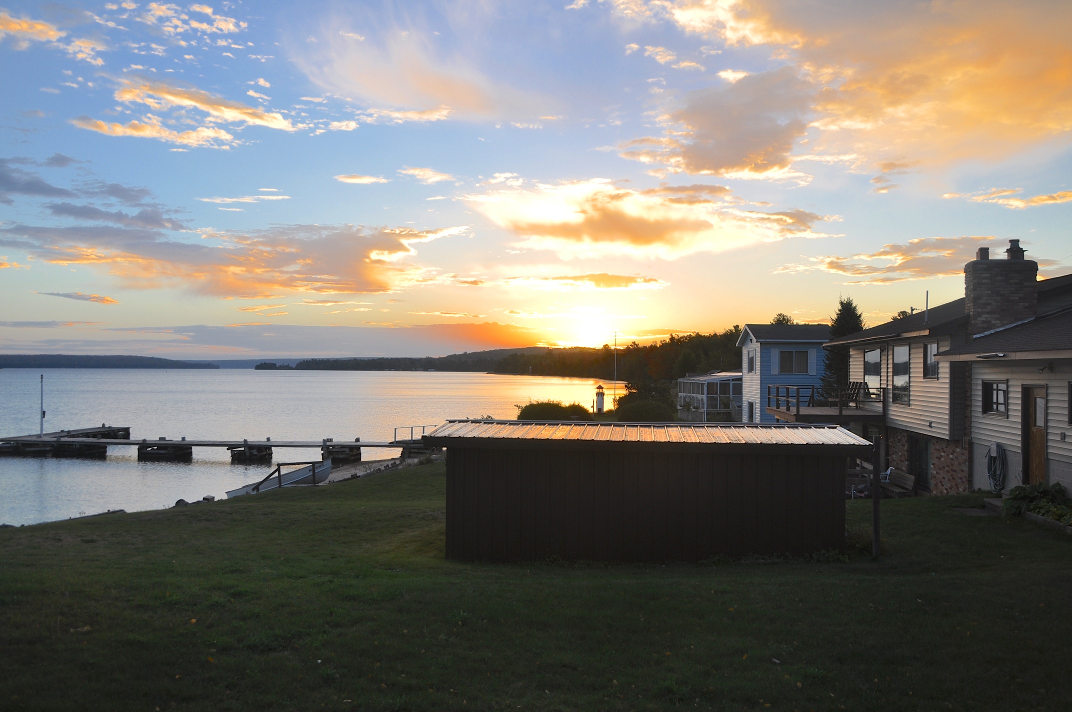
After we got there, we took off straight away to get the ferry out to Madeline Island, one of the many Apostle Islands that surround the Bayfield area.  We parked and got on board just as the ferry was leaving.  The island is one of the larger ones in the grouping, and has a bit of history about it.   Almost immediately after getting off the ferry, we saw the museum of the island’s history, so of course we had to investigate.

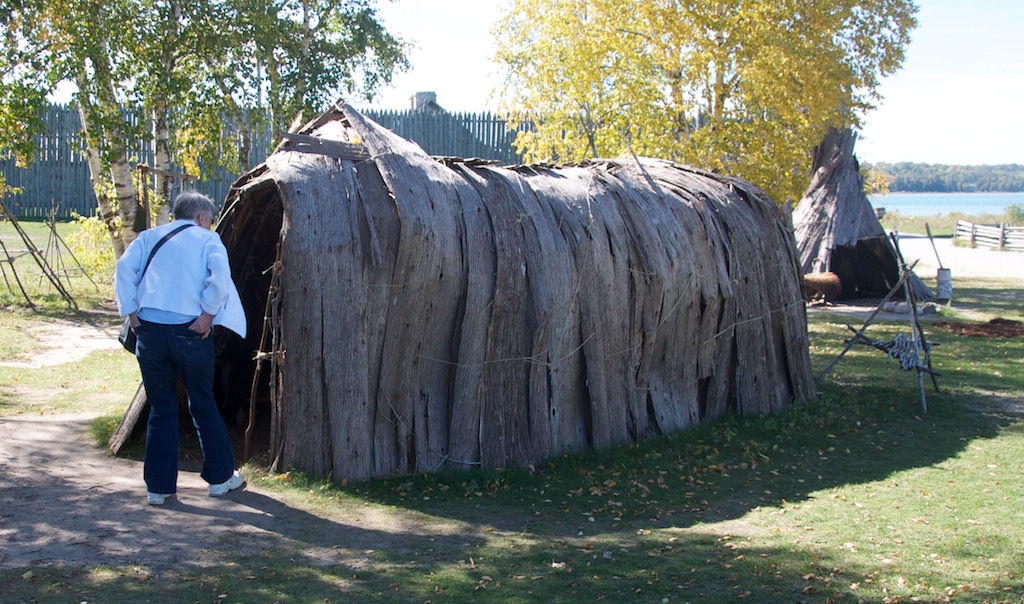
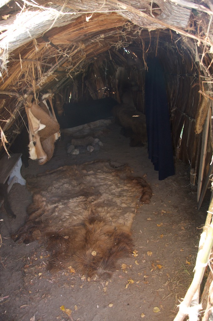
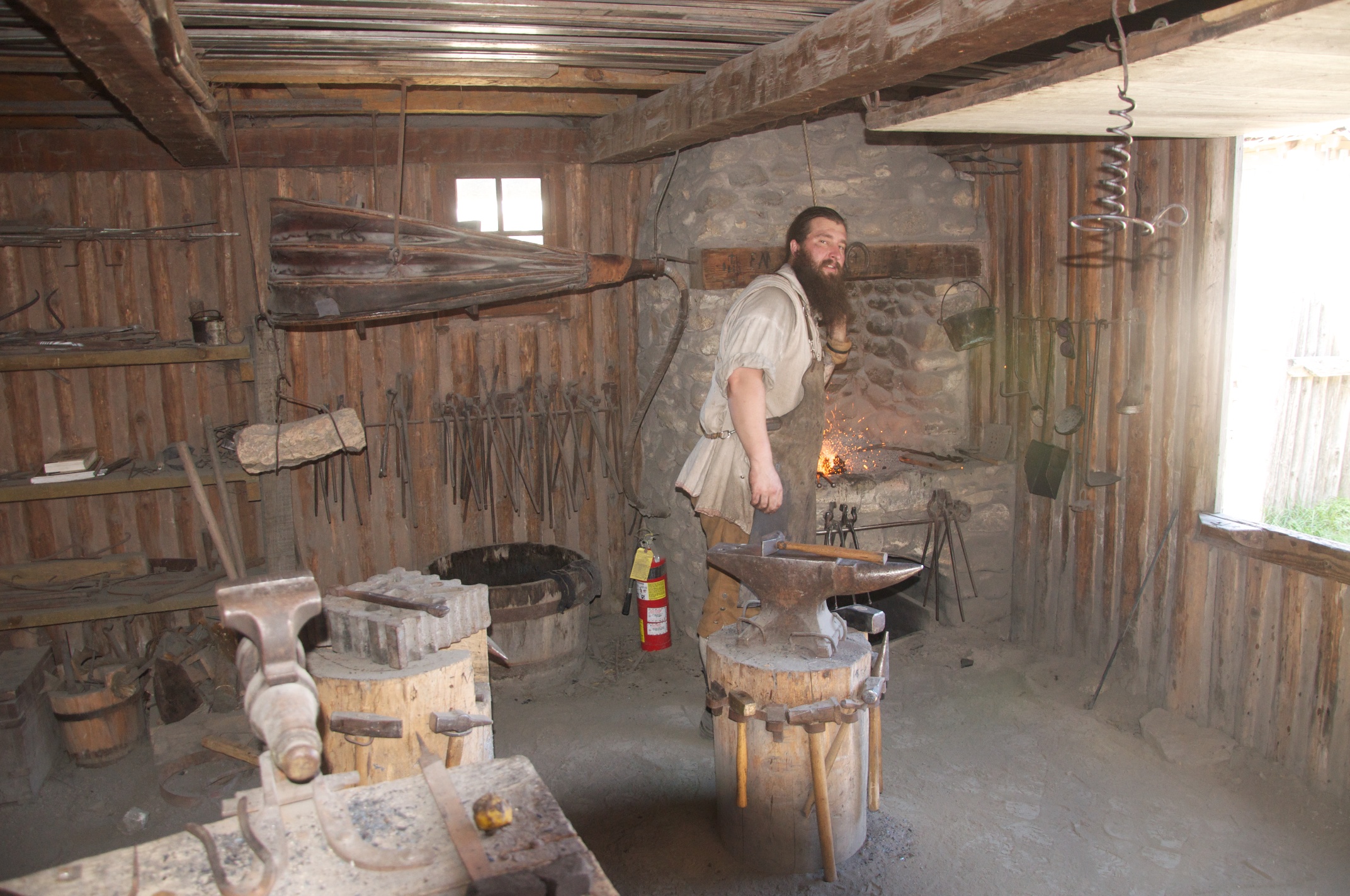
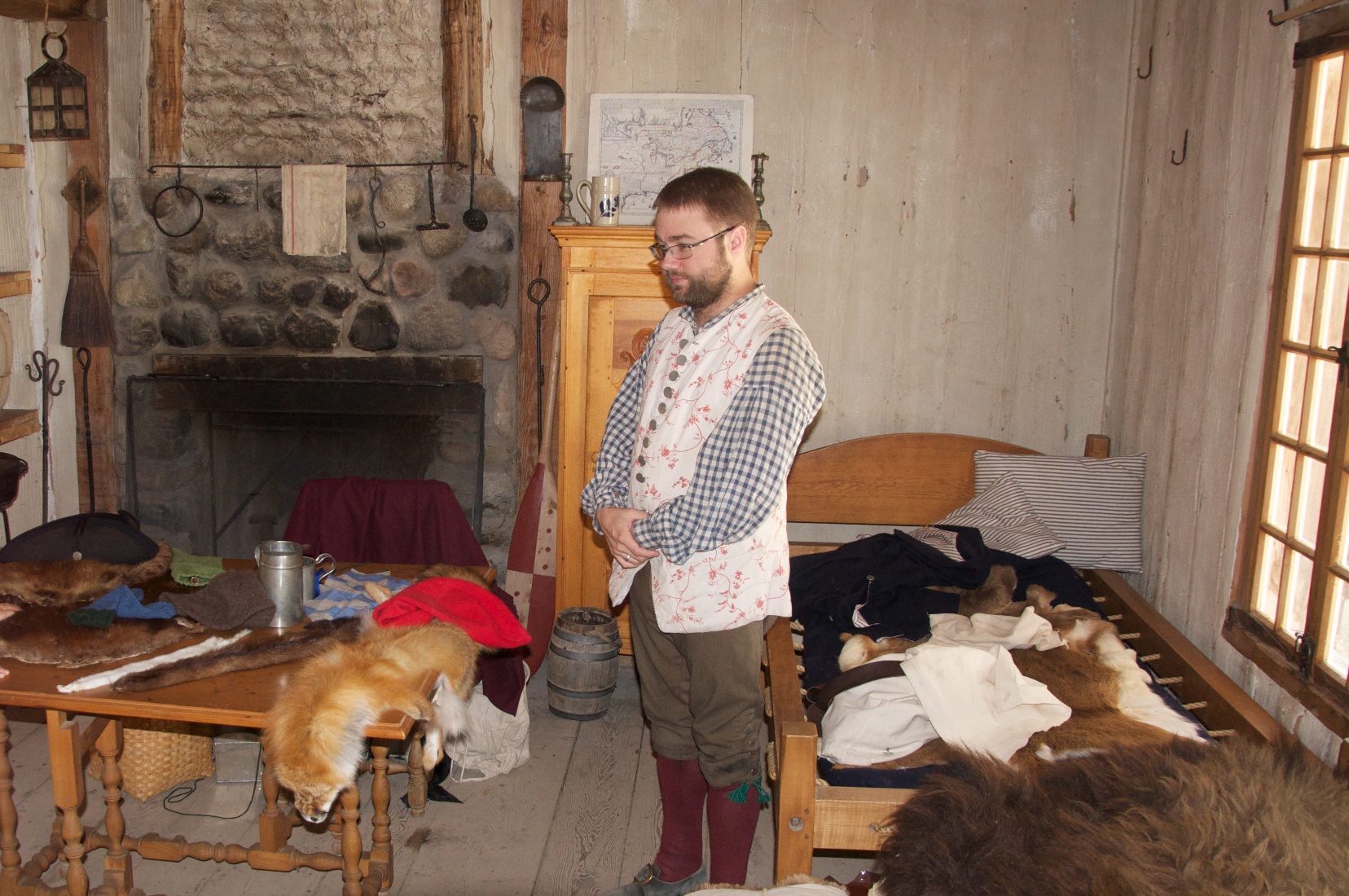
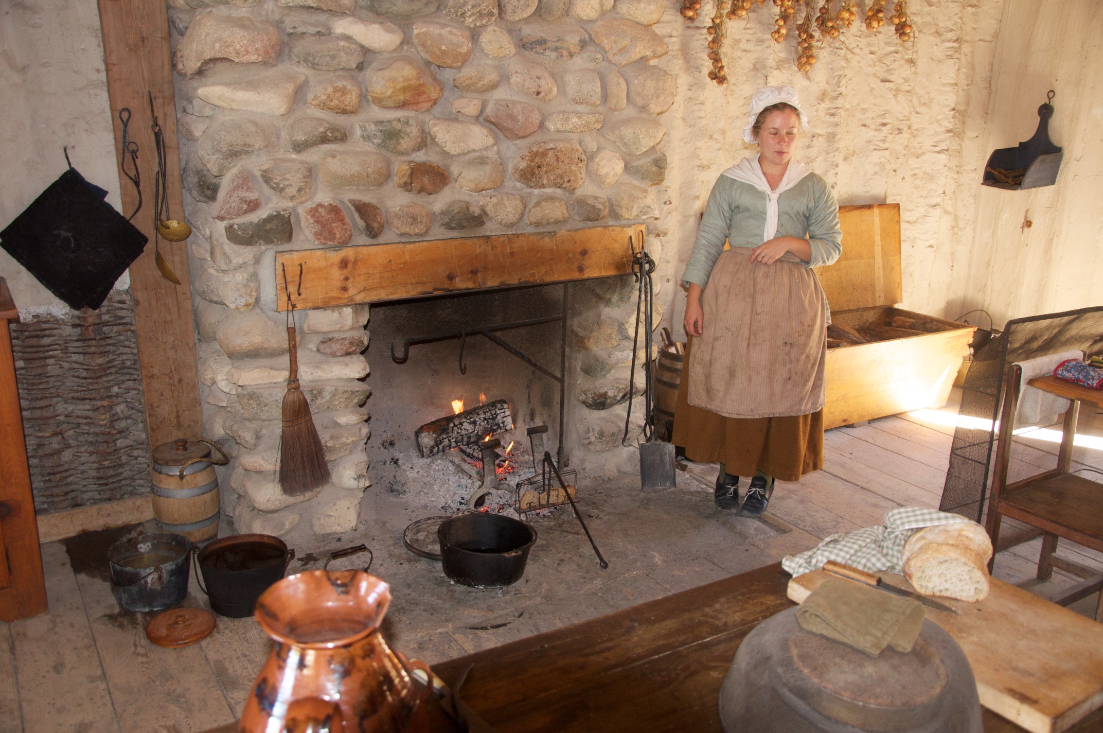
It is an interesting museum, with many artifacts found on the island, a film of the island’s history, buildings from its historic past (taken apart and rebuilt on the museum grounds), and more exhibits of a historical nature.  The one that caught my eye was a whole corner and wall devoted to showing step-by-step how to build a birch-bark canoe.  As birch trees are common to this area, and water is so prevalent, this was in times past the best material to build transportation out of.  The four old buildings from the past were built together so that we could walk from one to another without going outside.  As Gwen said, this took away from the authenticity (and confused the visitor), but it made the going easier in inclement weather.  Inside were antique tools, lamps, furniture, weapons, and household artifacts.

The film on the history of the area was not your straight-forward sequential first-this-happened-then-this happened story.  It talked and sang about the people who lived there, and if we hadn’t gotten a good lesson in the Indian-French-British sequence of time and occupation built around fur trading and exploitation of other natural resources from Ft. Michilimackinac, it would have been exceedingly difficult to follow.  The main difference was the coming of the wealthy folks from further south in Wisconsin (Milwaukee, for example) who used the island as a summer vacation spot.  This reminded me (although not Gwen, surprisingly) of the winter visitors to southern California (Pasadena in particular) around the same time (the end of the 19th, start of the 20th century).  These wealthy families devoted time to making the place entertaining for themselves and their children while they were there.

We found ourselves closing the museum at 3:30 (central time – we had forgotten we were no longer in the eastern time zone until we reached the B&B), and then meandering around just long enough to catch the next ferry back to the mainland.  We went out to dinner at a restaurant recommended by Kyle’s friend Suzie, the Rittenhouse Inn.  The maitre d’ gave us the menu verbally, something I have never experienced before.  He waxed poetic about each element on the menu, and easily convinced me that the 5-course option was preferable over the 2-course option.  Gwen had the 2-course, as her stomach just doesn’t stretch to five courses any more.  Indeed, the food lived up to the superlatives used by the maitre d’.  I had a cup of their cream-based chowder, with whitefish and trout, a trout-sprinkled salad, leading up to a generous filet of trout sitting on a bed of Israeli couscous.  For dessert, I had a rum-drenched butter pecan ice cream.  There was a raspberry sorbet before the main course to clear the palette.  Gwen had a spinach salad (followed by a donated sorbet just because I got one), and lamb chops on a bed of basil-flavored risotto.  The vegetables were carrots in a honey glaze and asparagus spears.   Of course Gwen was saving herself for the dessert served at the B&B afterward.  And well she should have been, as Sharon’s baking skills fully met the advertising as well.

When we got back, sure enough, Sharon had baked us a marvelous treat for my second dessert.  Yeah, too much food, but how can you say “no” to such a treat?  Oh, well — that’s what vacations are for!

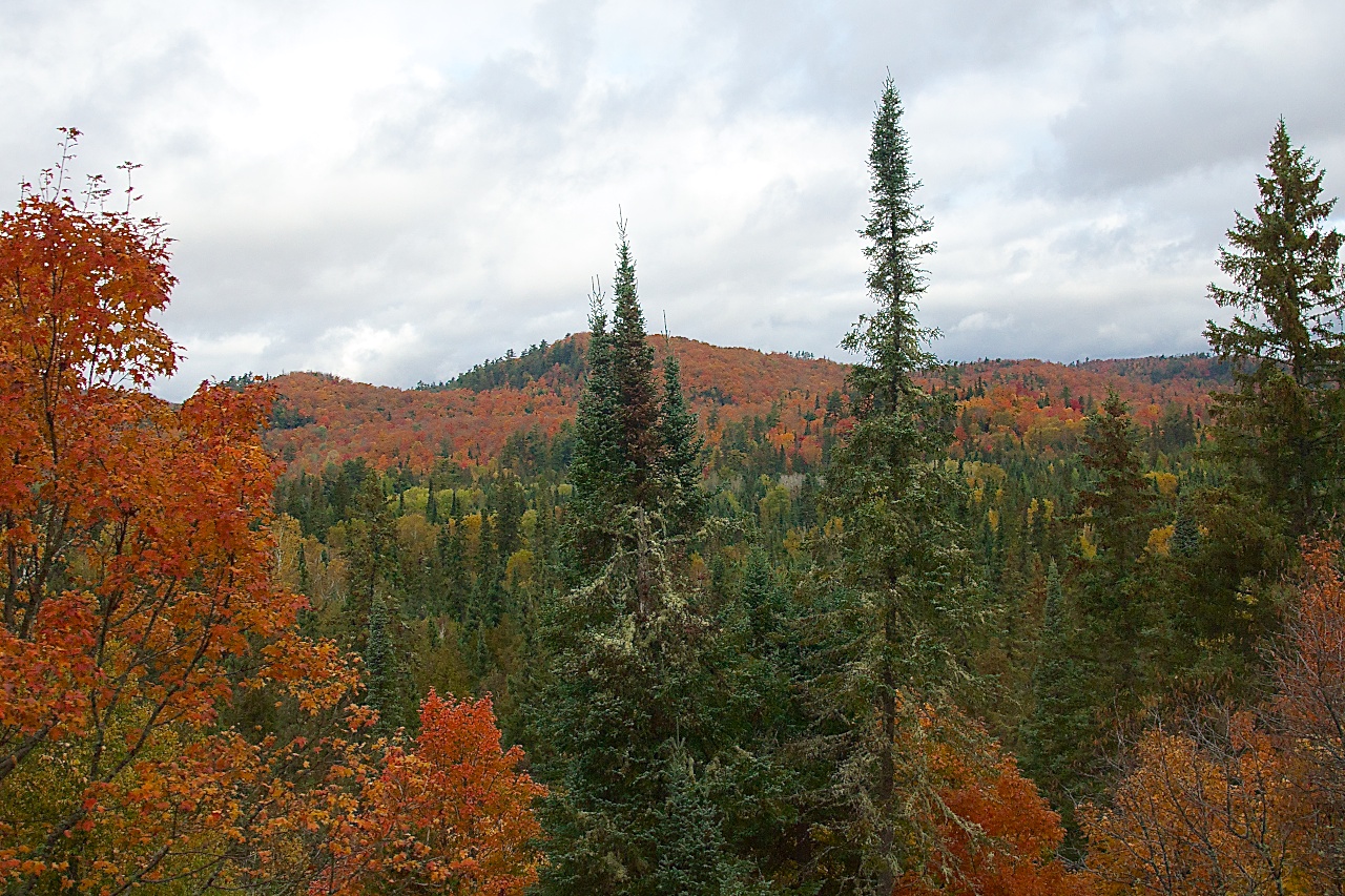
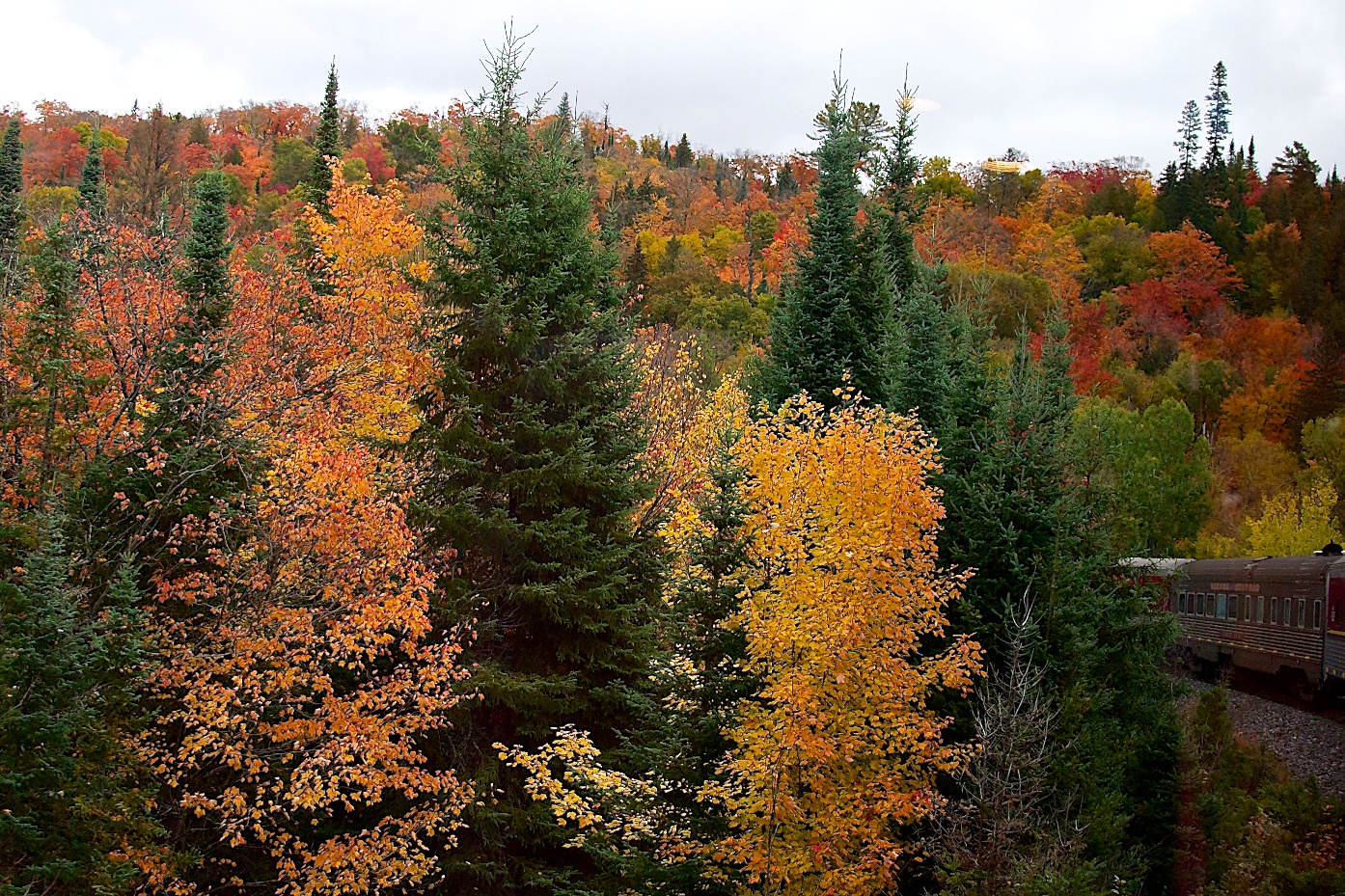
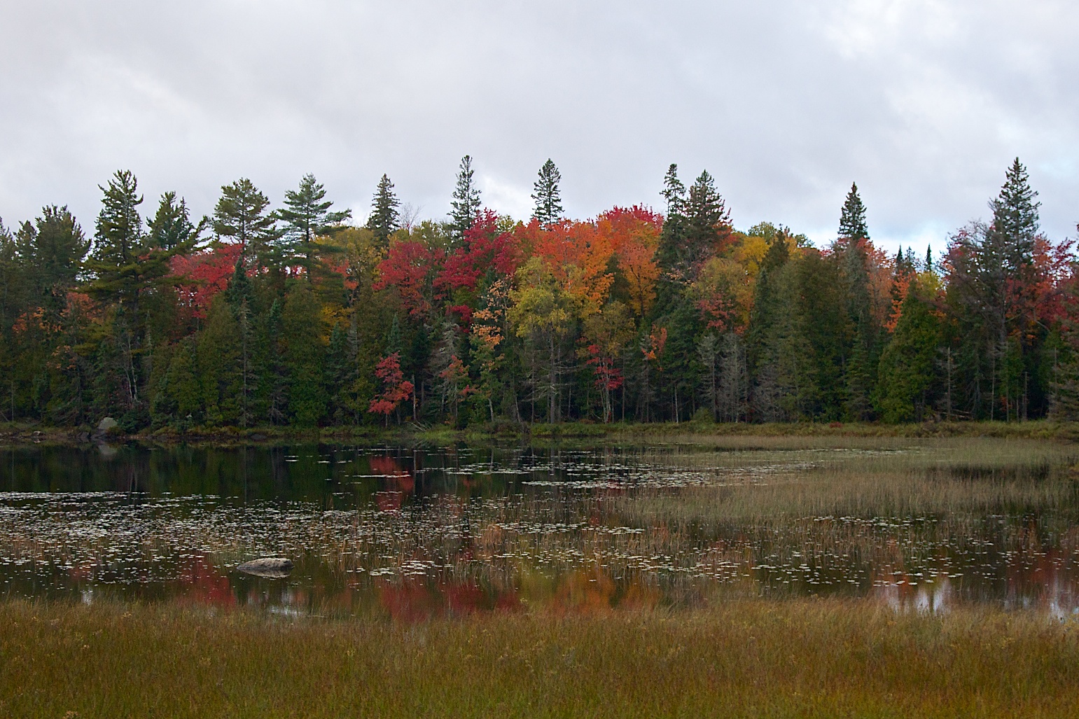
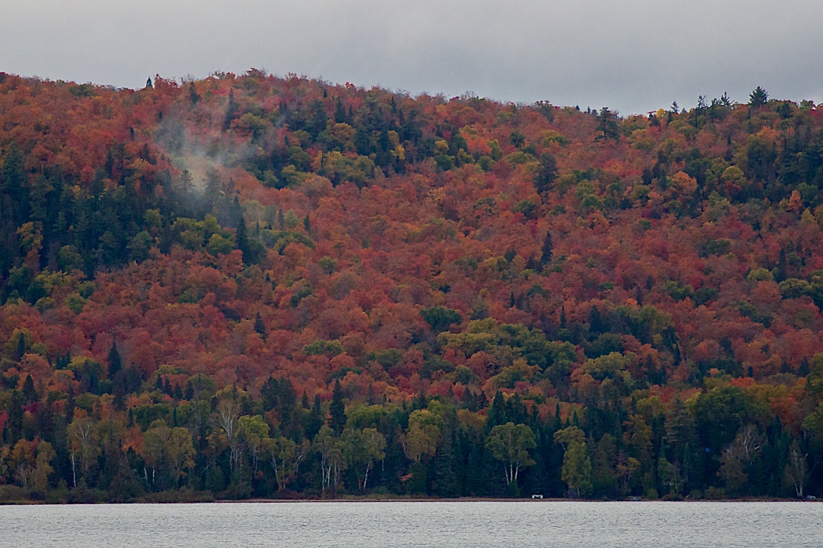
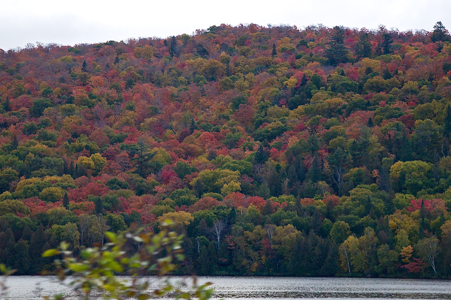
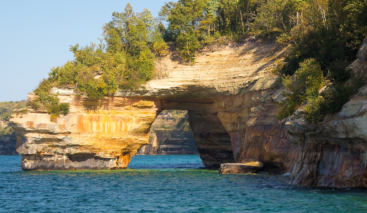
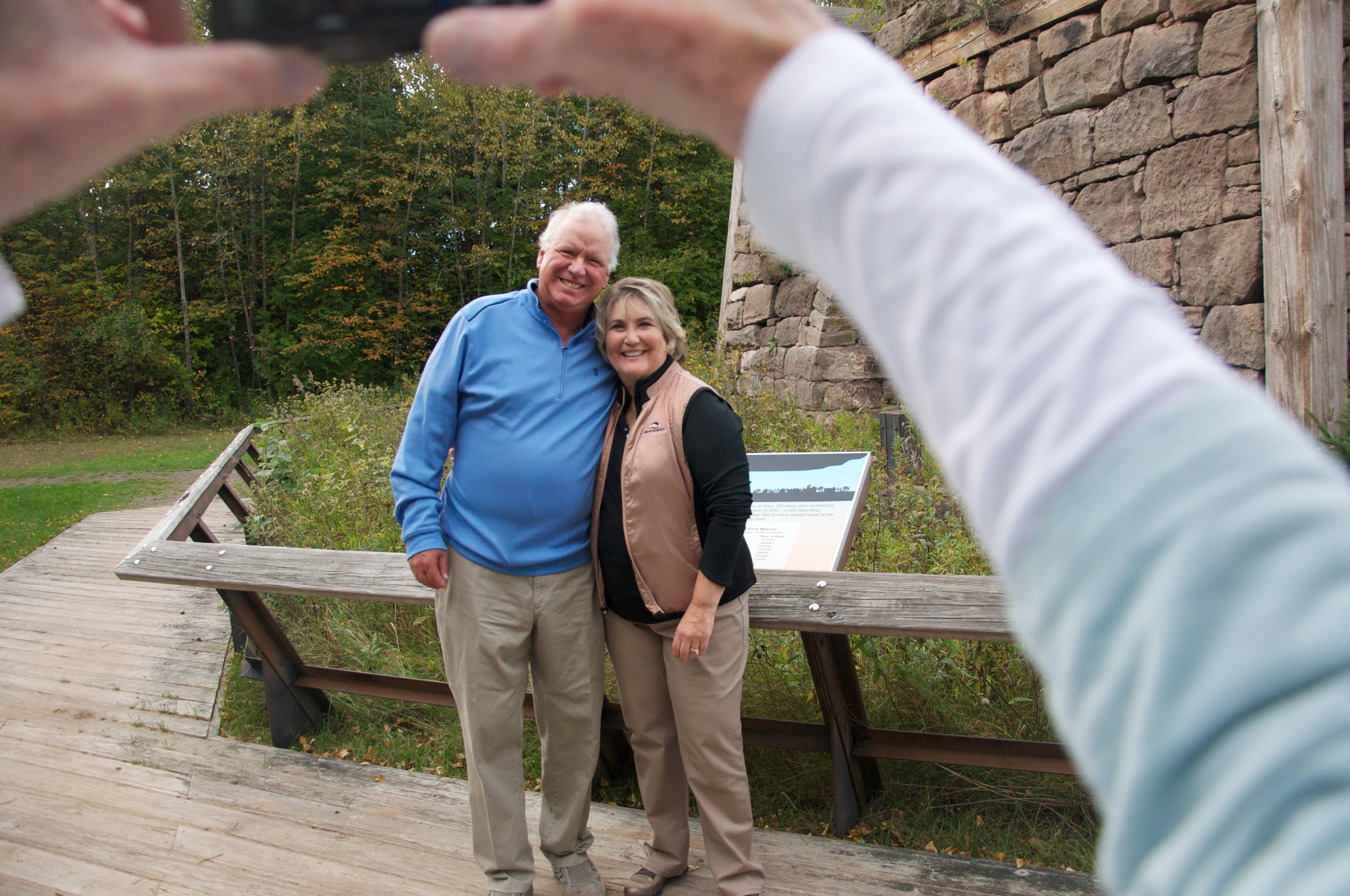
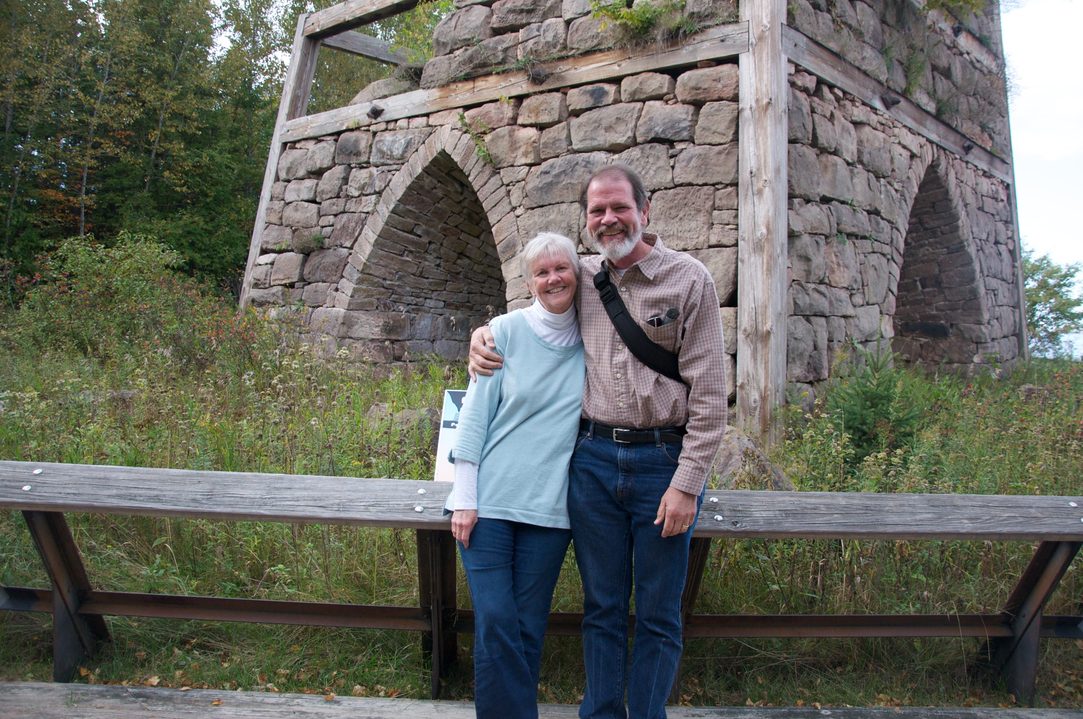
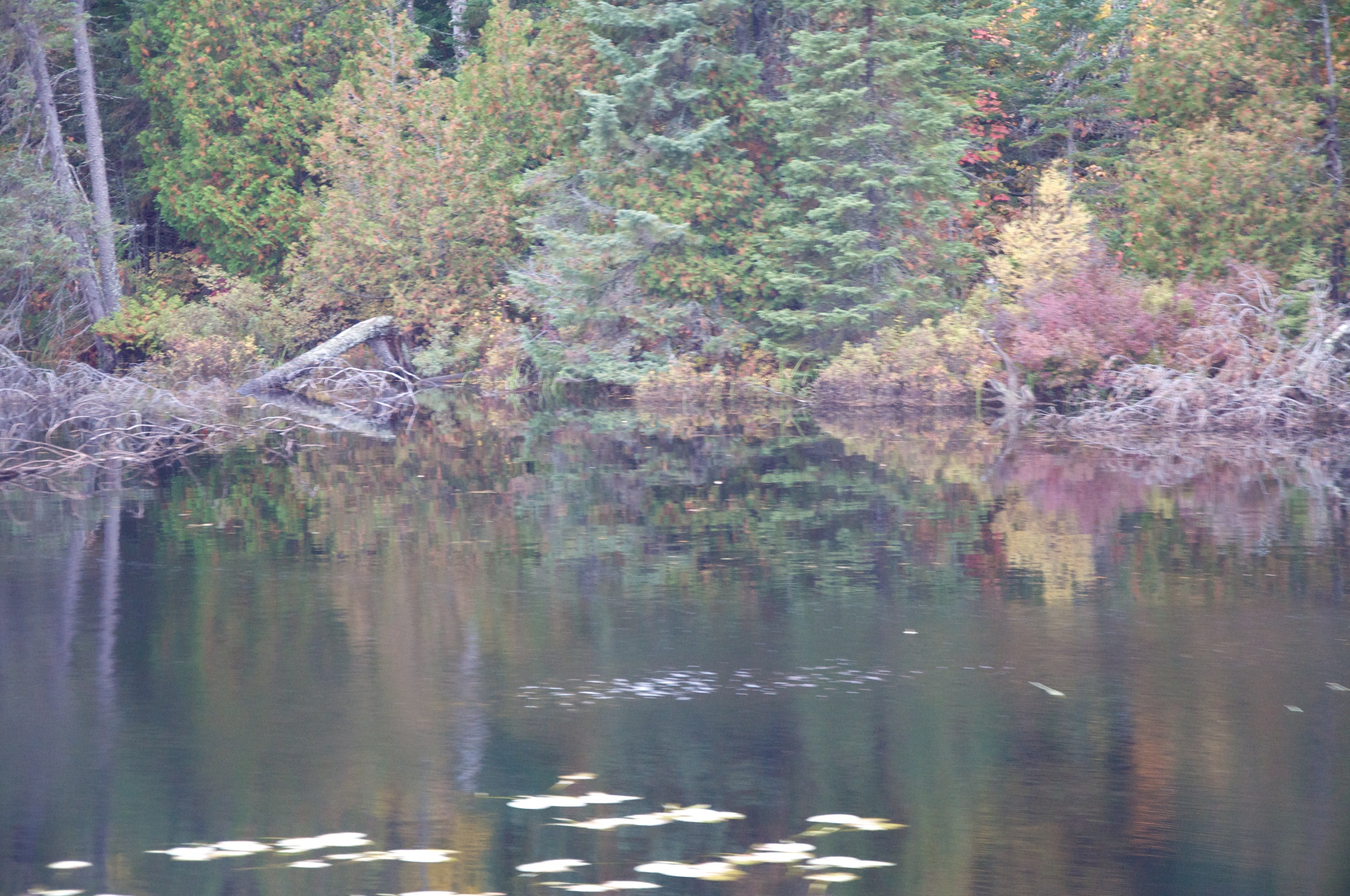
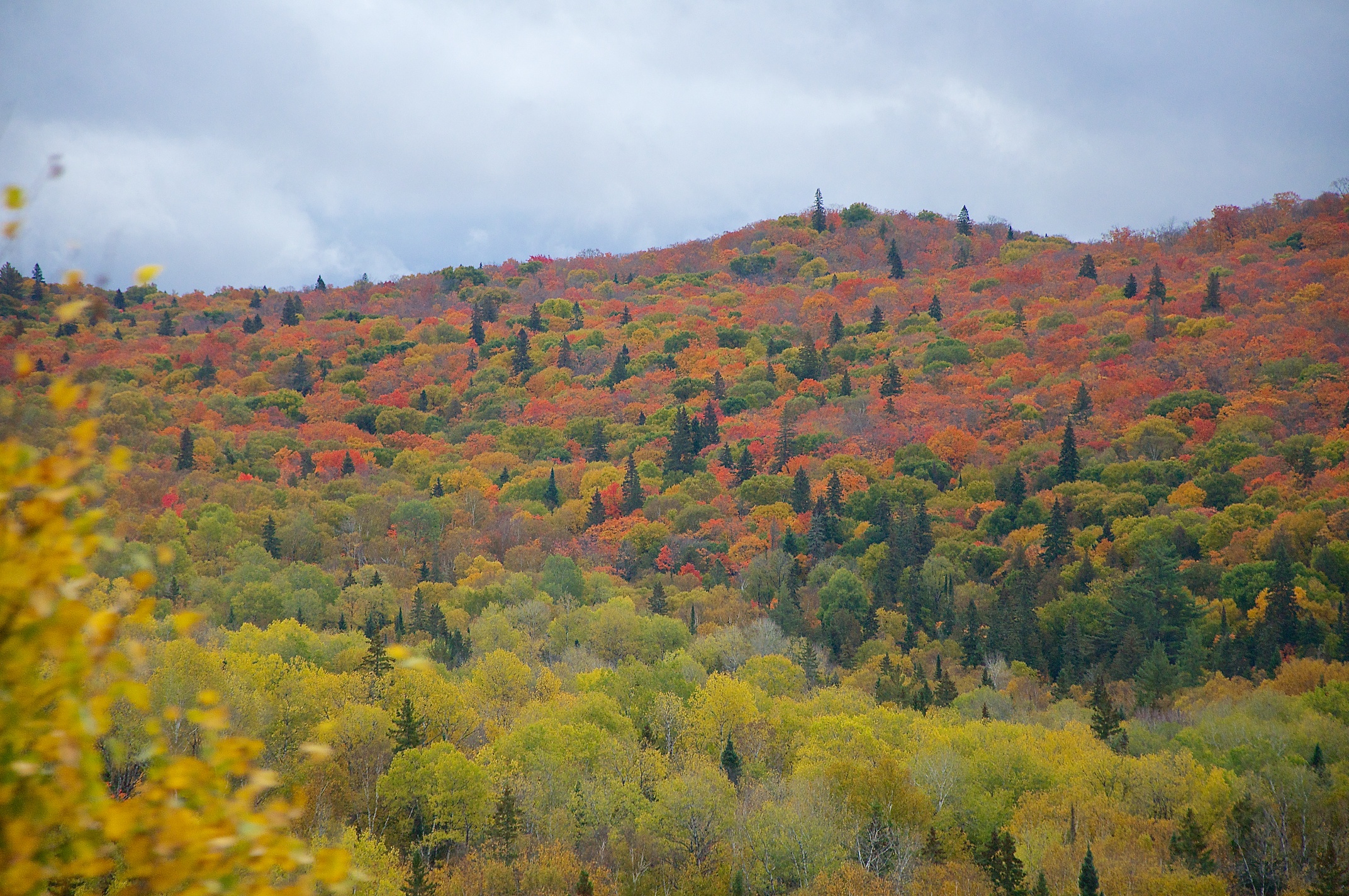
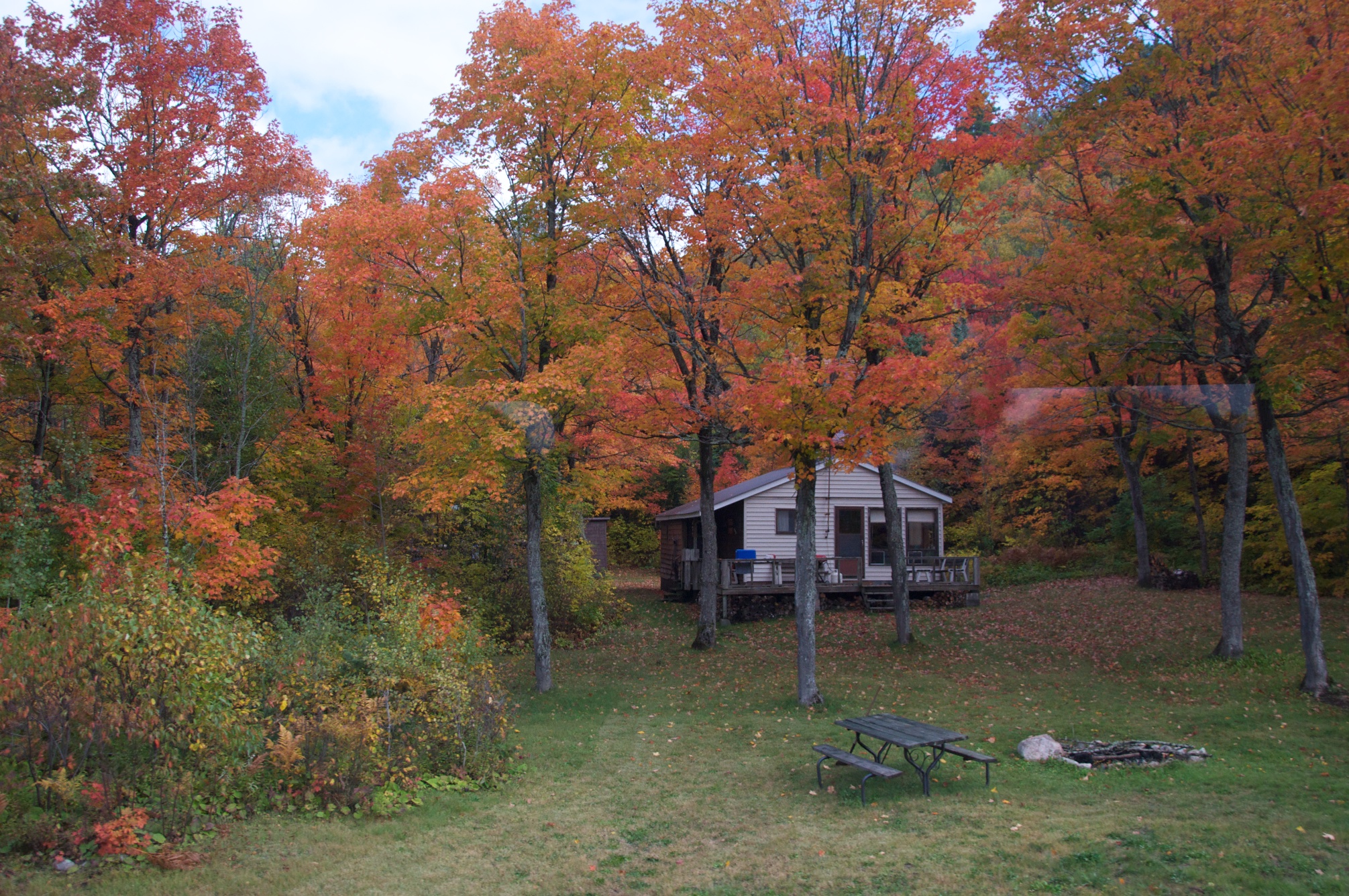
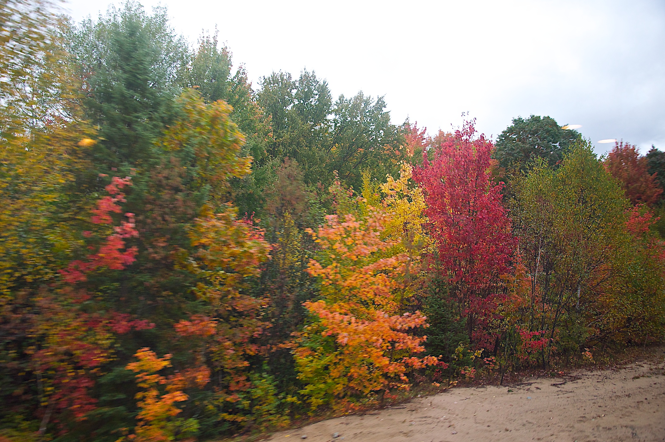
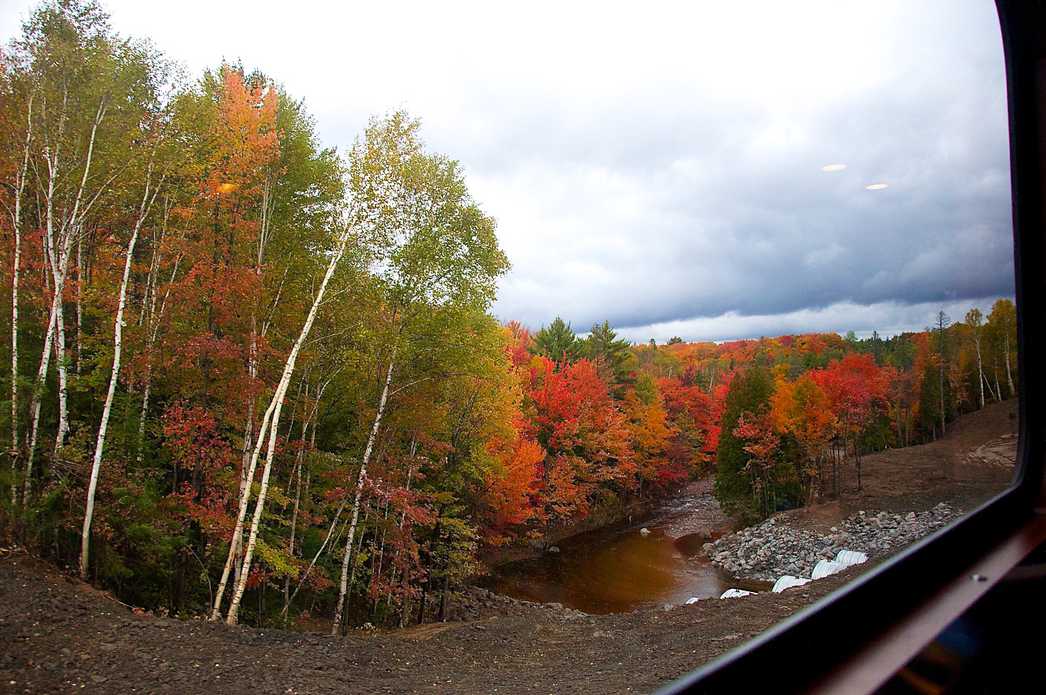
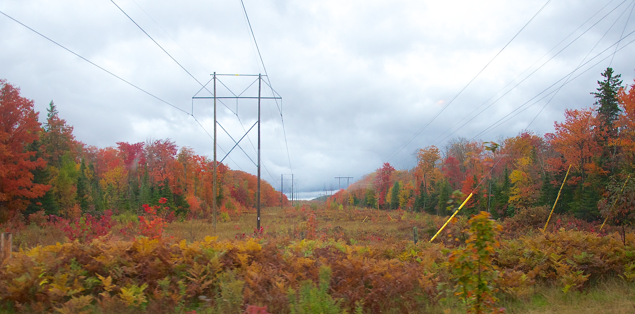
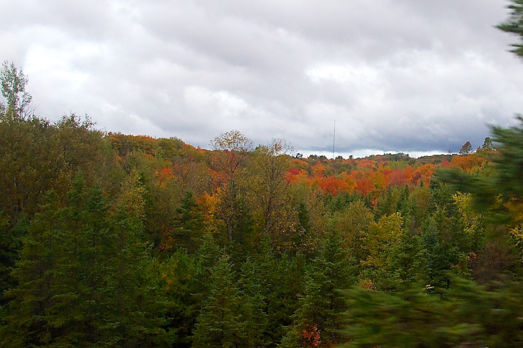
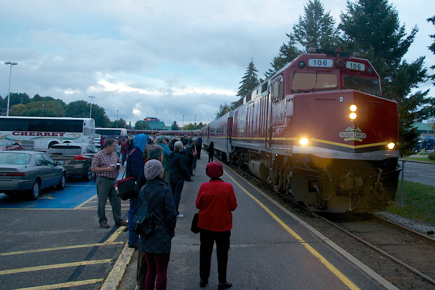
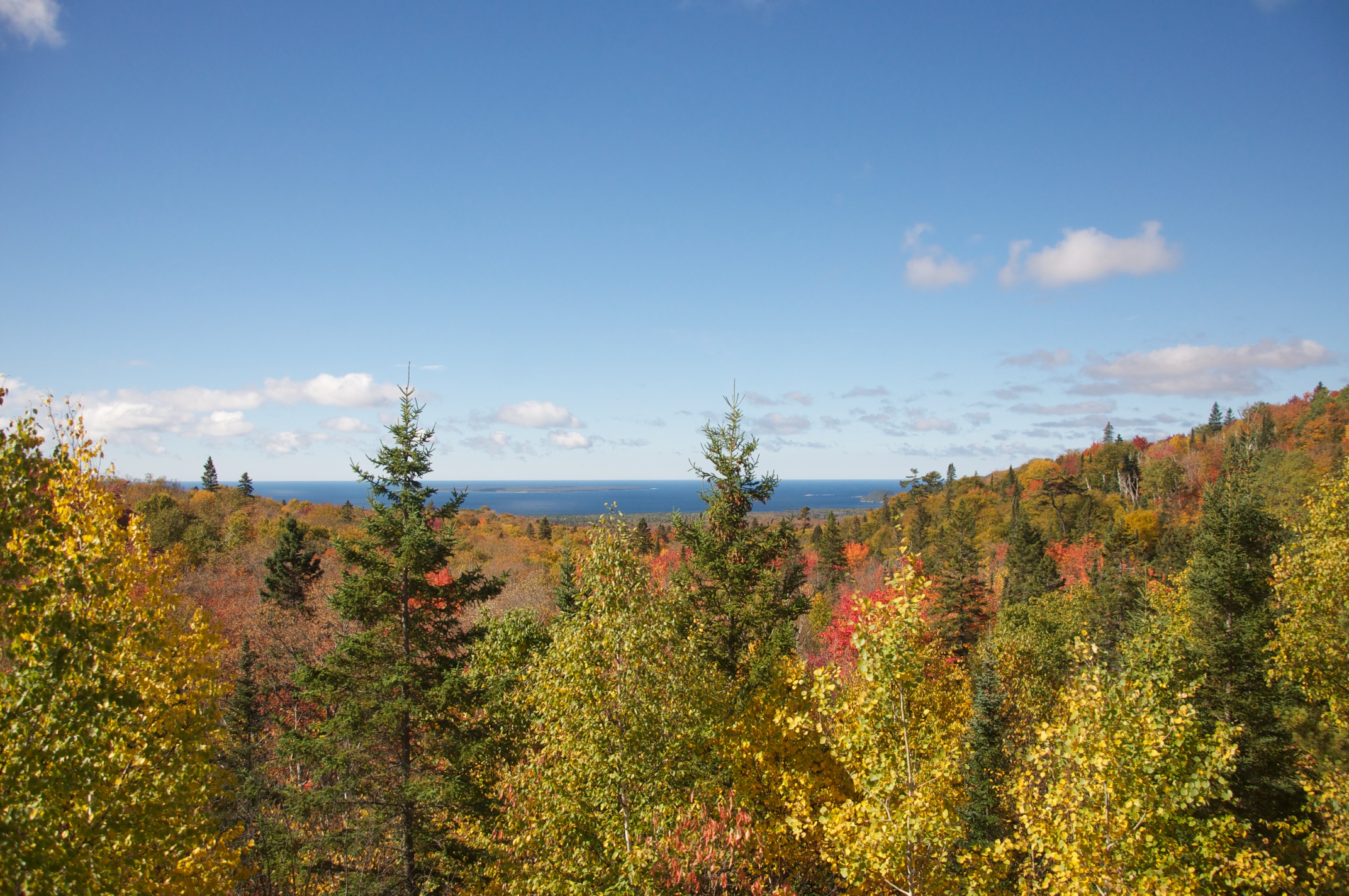
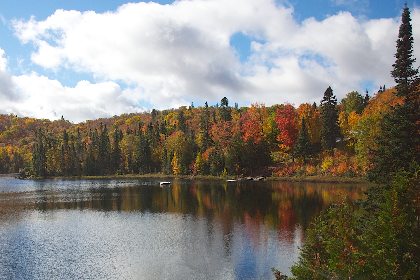
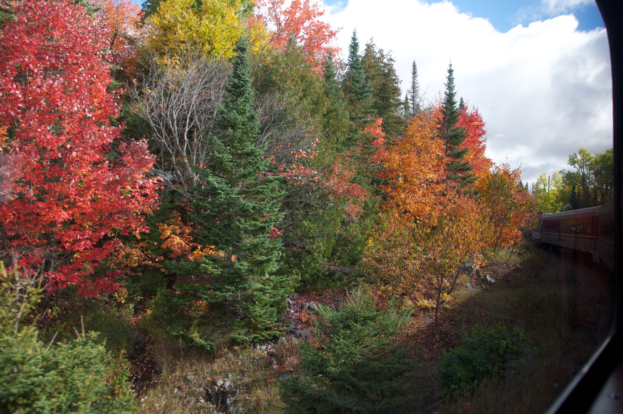
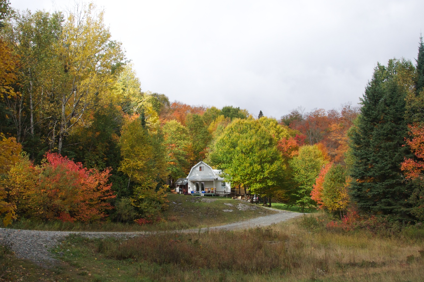
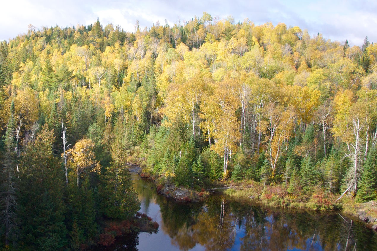
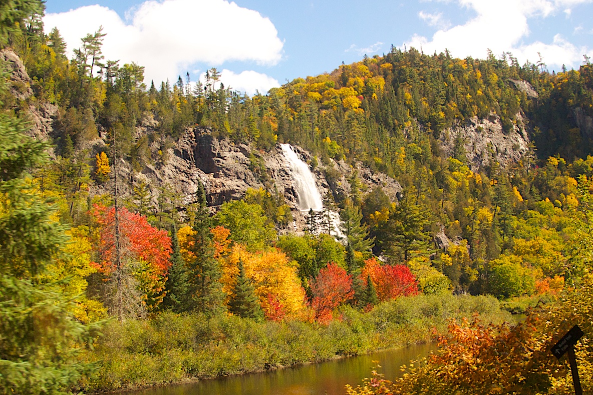
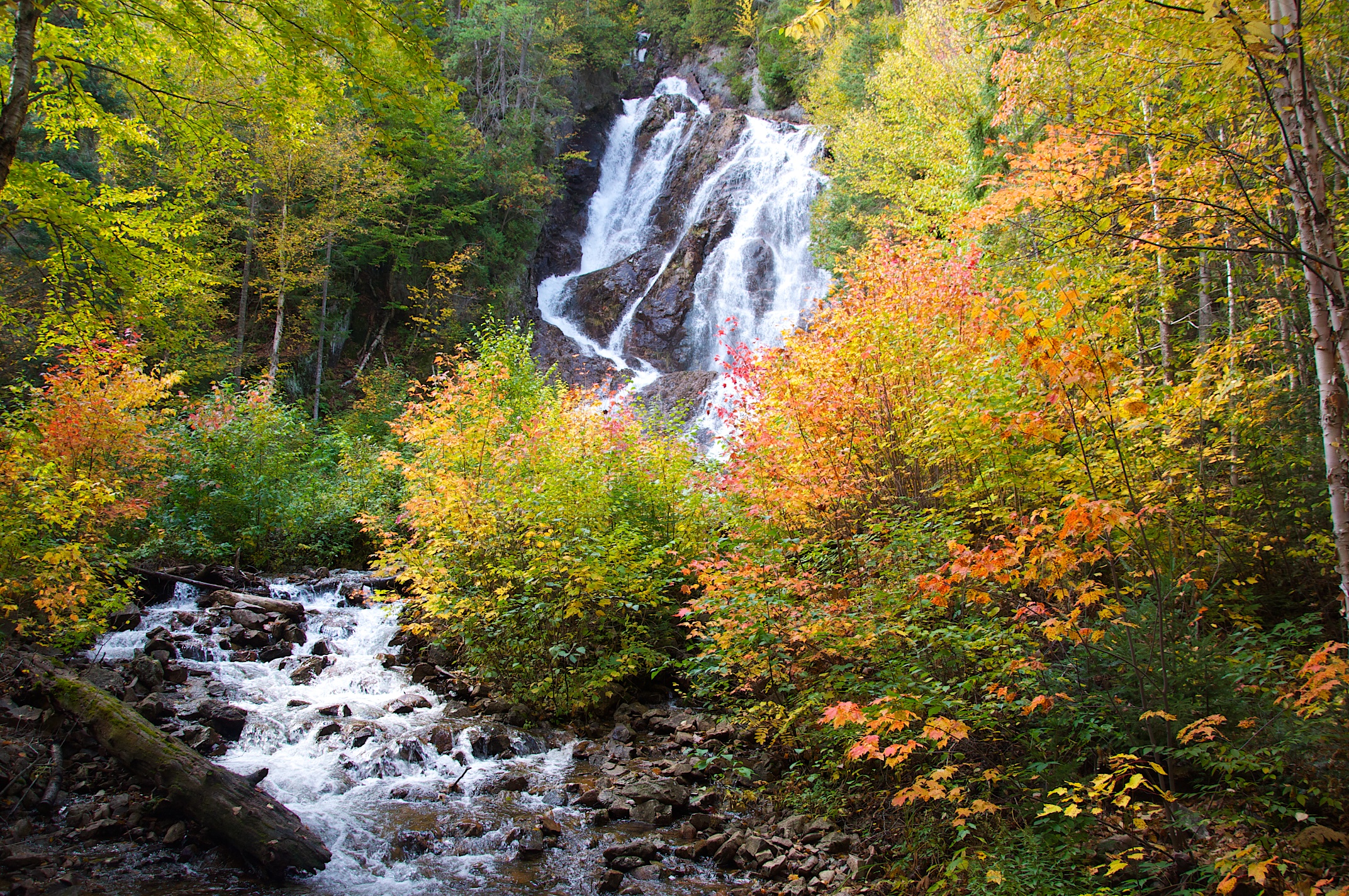
Not too much to picture today, but I still have more of those pictures from the Agawa Canyon train trip.

Upper Pen trip 30 Sep   021 Upper Pen trip 30 Sep   020 Upper Pen trip 30 Sep   019 Upper Pen trip 30 Sep   018 Upper Pen trip 30 Sep   017 Upper Pen trip 30 Sep   016

Leave a comment

Filed under Uncategorized

October 1, 2013

The government shutdown.  The biggest story of the day, but we didn’t know about it until we went out to get to a scenic area up the M-58, only to find it blocked with construction.  We decided to stop at the National Park Service center that we happened to see on our way back to see if there was another route.  The center was closed, and a sign indicated why.  Sigh…

Upper Pen trip 30 Sep   015 (1)

We came back to the cabin, and spent time reading.  The cabin is very comfortable – two bedrooms, one bath, a kitchen, living room, with enclosed back and front porch.  It is pleasantly furnished, and easy to sit around and talk.  It doesn’t have any electronic communication devices (TV or internet).  Hank was kind enough to cook breakfast in the morning, making Swedish pancakes with strawberries and raspberries to put on top, as well as maple syrup.  Excellent!  The picture at right is the view from the window at sun-up.

Upper Pen trip 30 Sep   013 (1)

In the afternoon, we went out on the Pictured Rock cruise.  Pictured Rocks are carved from the sandstone that lines Lake Superior on the UP side from Munising up for over 40 miles.  It is much easier to see them from the water than from the cliffs above, and we got to see quite a bit of them in our almost three-hour tour.

A lot of the pictures are created by water seeping out from the rocks, having leeched minerals from within, to create colored “stains” on the cliff face beneath.  Most prevalent are the iron stains, creating various shades of reds, oranges and browns.  Other minerals include copper (greens), cobalt (blues), manganese (black), and calcium (white).   Upper Pen trip 1 Oct  010 Upper Pen trip 1 Oct  016

The way the stains mark the rocks can sometimes create images that resemble petroglyphs.  Upper Pen trip 1 Oct  015

The shape of the cliff faces also suggest images, such as Indian Head Point, Battleship Row, and Elephant’s Paws.

Upper Pen trip 1 Oct  009

Upper Pen trip 1 Oct  017 Upper Pen trip 1 Oct  019

The sandstone is not a long-lived stone, and there are a number of archways tunnels and caves which are changing year to year as the sandstone gives way.  Upper Pen trip 1 Oct  018

That evening, we went out to dinner at the Brownstone Inn, which turned out to be excellent.  On the way there, we stopped at a relic furnace in Hiawatha State Park.  Upper Pen trip 1 Oct  020 Upper Pen trip 1 Oct  021

Tomorrow we drive to Bayfield, Wisconsin.

And here are a few more of the pictures from the Agawa Canyon train trip.

Upper Pen trip 30 Sep   026 Upper Pen trip 30 Sep   025 Upper Pen trip 30 Sep   024 Upper Pen trip 30 Sep   023 Upper Pen trip 30 Sep   022

Leave a comment

Filed under Uncategorized

September 30, 2013

Today, we go to Munising and Christmas to stay with Hank and Beth (Kerr) at Hank’s brother’s cabin on Lake Superior.  Breakfast downstairs was a lot calmer than it had been the previous day (no train travelers to compete with as we did yesterday – they had already departed by the time we got down there).  We left, heading south first to get back to the UP across the US-Canadian bridge, and then to the west first to the Shipwreck Museum at Whitefish Point, and then to Tahquamenon Falls, and finally to Christmas, MI.

The Shipwreck Museum, located at Whitefish Point, is certainly one of the high points of the trip so far.  It comprises five buildings, all painted a bright white, arranged in a loose circle.  The first to visit is the Shipwreck Museum proper, with exhibits describing many of the more significant shipwrecks on Lake Superior.  In the center front as you walk in is the bell of the SS Edmund Fitzgerald.  Around the room are areas one after another each focused on a particular tragedy.  Each contains a brief story of that shipwreck, including descriptions of the ships involved (and there seemed to usually be more than one), and what is known of their crews and cargos.  On one side of the back wall is a back-lit screen that shows Whitefish Bay, slowly adding one circle at a time each labeled with the ship’s name and date when it went down there.   There have been over 1000 shipwrecks on Lake Superior from the early 1800’s to the present day, and Whitefish Bay, due to its peculiar geography, is the location of more than its share.

The wreck of the Edmund Fitzgerald is the only one I specifically knew about beforehand, as it was the subject of a song written and sung by Gordon Lightfoot, one of my favorites in years past.  I was not aware of much of the detail, however.  This was the largest freighter on the Lakes, launched in June of 1958.  It handled iron ore, setting records for the quantity it would move from the mines in Minnesota to smelting plants in Detroit, Toledo, and elsewhere.  Upper Pen trip 30 Sep   004The pictures in this panel show the EF moving into the Soo Locks on one of its many trips.

On the night of November 10th 1975, a storm caught her and a sister ship, the SS Arthur M. Anderson about 17 miles out from Whitefish Point.  Hurricane-force winds, rain and waves up to 35 feet high lashed the ships.  The Edmund Fitzgerald had a full load sailing not too far from Whitefish Point.  The two ships were in communication, and it seems the EF was having trouble – it was taking water on board at a rate only barely compensated for by its bilge pumps, and experiencing a list to port.  The storm had made its radar system inoperable, but the Captain in his last communication to the Anderson said they were going to make it.  Two larger-than-usual waves hit the Anderson, and after she righted herself, the Edmund Fitzgerald had disappeared; there were no lights from it to be seen anywhere, and it was lost from the radar screen.  After some searching, it was believed she went down, although no crew members nor debris was found.  After much more searching, she was found, sunk with her entire crew of 29 sailors, 17 miles off Whitefish Point.  Much speculation (and much writing) has been done concerning the cause of the wreck, but no definitive explanation has emerged.  Many changes have been made to the maritime rules for ships on the Lakes, however, and the results have been an increase in safety for the crews and a decrease in the accident rate.

In the second building, there’s a movie about the raising of the EF’s bell.  The bell was cleaned up and sits in pride-of-place in the museum building as a memorial to the crewmen and to those who have lost their lives in shipwrecks on the Lakes.  After raising the original bell, it was replaced on the sunken ship by one of similar size inscribed with the names of the crew members, and those who survived them.  The building where this movie was shown also had posters showing some of the more popular wrecks for diving, including information on how they came to their undoing.

The third building is the museum for the US Life Saving Service.  This service was founded in the mid-1800’s as a volunteer enterprise, funded only at the level necessary to pay for the tools of the trade: surfboats, Upper Pen trip 30 Sep   005  torpedo guns (to fling rope-attached missiles across the bows of boats in distress), life saving rings, axes, and such at stations along the Atlantic seaboard.  In 1871, Congress authorized funds to pay for personnel to man and maintain the stations.  It also extended the locations for such stations, and the next year stations were established on the Great Lakes.   The men who worked this service were not paid very much, but were nonetheless dedicated to their purpose of rescuing people who had been shipwrecked nearby.  I enjoyed the story of one captain who got the call from a nearby town’s mayor concerning a ship in distress just off their shore.   The only way to get there in any reasonable period of time was to board a train with his crew, tools and the surfboat.  They indeed were able to rescue the ship’s crew before it went down.  This service eventually became part of the Coast Guard.

Next around the central green was the home of the Whitefish Point Lighthouse keeper.  This home is spacious, containing four bedrooms, living room, kitchen, two parlors, bathroom facilities, and a third floor we weren’t given access to.  It was just as well that the house was large, as the lighthouse keeper and his family were more or less on their own for most of the year.  The exhibits were based on the keeper who manned the lighthouse in the first 30 years of the 20th century, a Robert Carlson and his wife.  They raised a grandson and granddaughter there.  The isolation of the lighthouse keeper’s job made for close-knit families.  The granddaughter wrote a book of her experiences, which informed the reconstructions in the house.  The lighthouse itself is just outside the house.  Beyond the lighthouse, there is a decked path to the beach, and the opportunity to see shipping on the horizon (yes, there is one there!).Upper Pen trip 30 Sep   005 (3)

There is another building there, but it was not open to the public.  All and all, it was a very informative museum.

From there, we drove on to Tahquamenon Falls, said to be second only to Niagara Falls in the US in volume of water per minute flowing over it.  It has two separate falls named, not too imaginatively, the upper falls and the lower falls, and we saw them both.  The upper falls is the more dramatic, in that it is a higher drop, but the lower is more varied in how the water gets down with an island in the middle.

The upper falls is wide like the Niagara, but neither so high nor so wide.  Upper Pen trip 30 Sep   010 (1) Upper Pen trip 30 Sep   007 (1)

It is certainly large enough to create a deep pond at its bottom, and a wide river downstream.  Like all the water we have seen so far, the water here was brown with tannin.  As can be seen in the picture, it was very brown in one area on the left hand side, perhaps from a downed tree the water flows over at that point.    There are a number of viewing platforms, and each gives a different perspective of the falls.

From there we went to the lower falls.  Upper Pen trip 30 Sep   012 (1)

Here the water flows around an island, with small falls on either side.  On the left hand side, the water flows across rocky flats creating a rapids effect.  Beth said that when they were younger it was allowed to walk to the island over the falls, but now safety considerations means that is no longer allowed.

From here, we proceeded on to Christmas, MI, and Hank’s brother’s cabin.

Here are a few more pictures of the scenery from the Agawa Canyon train trip.

Upper Pen trip   001 (1) Upper Pen trip   003 (1) Upper Pen Sep 29 002 Upper Pen trip 30 Sep   006

Leave a comment

Filed under Uncategorized

September 29, 2013

Travel to Agawa Canyon via the Algoma Central Railway.

Gwen’s challenge was to get us into the northern Michigan territory approximately when the trees are changing colors for fall.  She succeeded admirably.  But that is getting ahead of my story.   The focus for today’s travel was to take the a  slow train about 110 miles up into the upper Ontario province wilderness to see what could be seen.  And a lot could be seen.  The train, deliberately a tourist attraction, travels at a sedate 30-40 mph, starting at 8:00 am, getting to the Agawa Canyon valley at 12:00 for an hour and half’s stay, and then rumbles its way back to the starting point.  Once again, thanks to Gwen’s connections at Holiday Inns, we stayed in a Holiday Inn Express literally walking distance from the starting and ending point of the train journey.

The train station sits in the middle of a large parking lot  Upper Pen trip   008

without the usual train station accoutrements, such as platforms, or even an obvious track.  Sure enough there is a track, running along the north side of the parking lot, sitting between the parking lot and Bay Street, but it is a single track with a tarmac sidewalk, and unless you walked right over it, you wouldn’t even know it was there.  Come 7:30 am on this particular Sunday morning, however, it was clear the train would be long and fully loaded.  Not quite on time, but looking ready for its day, along came the train down the track to enable us to climb on board.  (Can you spot Gwen amongst the anxious travelers?)  Upper Pen trip   009

The train is equipped for its job.  In addition to comfortable seats, it has TV monitors at a high level which serve two main purposes.  The first is to show the scenes to visualize the stories our hosts are telling us as we head up north, and the second is to show the view from the engineer’s seat as we charge forward down the track.  The engineer’s view gives us a 20-second warning of we will be seeing so we are prepared to look out the right or left as appropriate.  This is a very useful feature.  The hosts’ narration (fully pre-recorded; the on-board train people are there to do their specific jobs, not to entertain us) is well done; it nicely complements the scenery.  They talked a lot about the history of the area we were traveling through, and the railroad itself.  The local “Andrew Carnegie” who established the railroad and many of the businesses the railroad has served since the late 1800’s was a man by the name of Francis H. Clerque.  As found in Wikipedia: “Born in BrewerMaine, Clergue studied law at the University of Maine after which he was involved in a number of business ventures until coming to Ontario, Canada. Clergue came to the city backed by Philadelphia businessmen. He saw the potential for industry with the location of the town. He helped establish a hydro-electric dam which provided the town with cheap and abundant electricity. Following the 1895 construction of a new canal and lock, he founded the paper mill St. Mary’s PaperAlgoma Steel (now called Essar Steel), as well as a portion of the Algoma Central Railway connecting the city to the transcontinental artery of Canada, for which the city is most noted. He also established the Helen and Gertude mines. He used all of his ventures collectively to build his empire. Algoma Steel was started by using pig iron from the Helen mine to make steel rails.”

Clerque was not as lucky as (perhaps not as good as) Mr. Carnegie, and ended up bankrupted by his desire to get all the businesses started too quickly.  The story (for him) ended in 1903, but as our hosts pointed out, the main businesses that today are the chief employers in Sault Ste Marie are the same ones he started back in the late 1800’s.  They emerged out of that early bankruptcy and have maintained themselves ever since.

As we continued north, the colors grew more varied and picturesque.  While the train engineer Gwen talked to once we got to Agawa Canyon believed the top of the color wheel would not be reached for another one and two weeks, certainly in areas the colors were already there.  For us this was fine, as the contrast provided by the green interspersed amongst the colors from deep red to light yellow only enhanced the views.  Following is a series of pictures taken from the train as it traveled north.  It was a difficult process figuring out how to avoid colorful blurs as the train continued its motion.  But the views were spectacular, as you can see.  There were many lakes, and almost the whole way was through forest.  Some of the lakes had houses on them, and from what they said there is a train that picks up passengers by request as it travels north or south.  The colors were at places many and varied, while at others it was more clustered (such as all yellows).  At a few places the tracks are quite high on the side of a valley, and the views go way off into the distance.

Lake Superior from the train Upper Pen trip 30 Sep   031 On the train to Agawa Canyon in Algowa Country. Upper Pen trip 30 Sep   029 Upper Pen trip 30 Sep   028 Upper Pen trip 30 Sep   027

OK, there’s too many pictures for this one post.  I’ll put a few in this post, and then a few in each of the next posts until I run out.  It all fits the theme for this trip anyway, and we saw colored beauty every day, even when we didn’t manage to photograph it.

The train ambled its way through to Agawa Canyon, and we had an hour and a half there to look around and see the beauty spots.  There are three hiking trails, but with so many people, they were not lonely trails.  I took the “Lookout” trail, which they cautioned several times on board the train to think about beforehand, as it included 300 steps to traverse up and then back down again to get up to the main lookout platform.  As might be expected, the large contingent on board who were not obviously English speakers picked that trail as their first choice.  The steep climb took us first to a mid-way platform, and then up to a platform that was close to the top, and finally the highest platform.  Indeed the views were quite spectacular.  Agawa Valley from Lookout point.

The Agawa River runs to the left.  In the lower left corner, you can see how brown it is.  The tannin from the trees colors the water to a great extent.  It looks like it should have a distinct alcoholic taste to it (just in case, I didn’t try it).  It is possible to see the train car-tops to the right of the river.

Thanks to the good weather, there were good views to see.  Gwen took off to the two other sites, the Bridal Veil Falls,   Bridal Veil Falls in Agawa Canyon

and Black Beaver Falls.  Black Beaver Falls in Agawa Canyon  After climbing down from Lookout Point, I, too, went to Black Beaver Falls.  We then met up back in the train car.  The train crew had been busy while we were gone – taking the two engines from the front of the train, and moving them to the new “front” for the trip back, and rotating the seats in all the cars so indeed going back we would be still be facing forwards.  We traded with the pair across from us to we could get the view from the other side of the train.  As soon as the train got underway, Gwen and I headed to the dining car to get some lunch.  We returned, and enjoyed the view from the left side of the train all the way back.  On this side, there were many more lakes and rivers to be seen, or at least that was what it seemed.

The trip back seemed longer than the trip out, but it was, if anything, somewhat shorter in time.  We had left at 8:00 am, and returned about 5:45 pm.  Getting dinner proved to be more of a problem than it should have been – the restaurant within walking distance from the hotel had a 45-minute wait (we think a bus load arrived just before us), so we ended up at a Subway, not one of Gwen’s favorites.

Tomorrow — on to the Shipwreck Museum, Tahquamenon Falls and our visit with the Kerr’s.

2 Comments

Filed under Uncategorized

September 28, 2013

Back on the road again!  Gwen has planned for us to see a bit of the fall color as presented in Michigan’s Upper Peninsula, Lake Superior from above and below, and with help from Suzie, some of her favorite cities / towns in Wisconsin.  So we started yesterday (I write this on Sunday, 29 September).  The drive up from home to Sault Saint Marie in just a few hours,  It was a pleasant drive, with one main stop along the way at Ft Michilimackanac.

To get to this frontier fort with a great history you take the last exit before the Mackinac Bridge — the very last exit.  The entrance is located right under the bridge right at the edge of Lake Michigan in Mackinaw City.  Michilimackinac was the major depot for the northwestern fur trade.  Large canoes, weighted down with brandy, trade goods, and munitions, arrived from Montreal. Traders and voyageurs carried this merchandise on to Indian customers in Michigan, Wisconsin, Minnesota, Ontario, and beyond.  The Indians in the Great Lakes region include the Ogawa and Ojibwa (or Chippewa, as they are known in the US) tribes, as well as the Winnebago and the Menominee.  Many traders spent the winter among Indian hunting camps.  Ft. Michilimackinac, an Indian wikiup outside the fortThere they worked with the Indians to gather the furs and then collected the results.  In spring, they brought their furs to Michilimackinac for shipment to Montreal.  Ft. Michilimackinac, inside the Indian shelter.At the Straits, they rendezvoused with their friends and recent arrivals from Montreal and spent their wages in a few days of wild celebration.

The fort was built in about 1715 when the first French troops arrived.  It seems that the Indians were not necessarily as friendly to the French (and each other) as a simple history might suggest.  Several times, groups of French soldiers and friendly Indians were sent from the Fort to do battle with others, not always successfully.  In any case, there were English voyageurs and traders who were also interested in working with t

he Indians.  A complicated situation, and over years from 1715 to 1763 when the British took over as a result of the end of the French and Indian War, the fort was a unique central place for much activity.  As indicated, the British took over in 1763, but then in 1781, the leader in place at the time decided to move the fort to Mackinac Island, and so over that summer, a fort was built on the island, and everything that was useful was moved to it.  Upon completion, Fort Michilimackinac was burned to the ground, and left.

In the 1950’s, archeological interest in the orignal Fort was raised, and archeological digs began.  Digs have occurred over the years, and due to the advanced techniques now available, much has been learned about the fort’s history and how the people lived.  A full-size reconstruction has been built over the same space, and actors recreate examples of a few of the lives spent (at least partially) there.

This included an Indian site just outside the fort itself.  Gwen gets a good look at the Indian house outside of Ft Michilimackinac.

Inside the Fort, actors included a blacksmith (who told good stories as well as actually creating metal objects using a hand-cranked bellows to get the appropriate heat, Upper Pen trip   001

A trader at his house / place of businessUpper Pen trip   002

and a housewife of one of the fort dwellers (note the bread toasting at the hearth)Upper Pen trip   003

The fort also had (at various times) an in-house friar (Jesuit) to save the souls, especially in summer when people were likely to be around, and their military contingent, French at first, and then British.

The interior fort area in addition to the several buildings that are meant to resemble the original structures, also has a green for military exercises.  The military actors wear British colonial dress, as opposed to the French uniform dress. Upper Pen trip   004

The fort itself is demarcated by a stake fence, which they say is authentic to the original. Upper Pen trip   005

The fort is right under the start of the Mackinac bridge, and sits on the Lake Michigan side of the narrow water passage from Lake Michigan to Lake Huron.  Continuing on the M75 above the bridge for another hour (through Michigan’s Upper Peninsula) gets us to the US-Canadian bridge, across the straits between Lake Huron and Lake Superior.  For the early inhabitants or visitors, the bi-Lake crossing between Lakes Superior and Lake Huron was more treacherous than the crossing from Lake Huron to Lake Michigan as it involves rapids and a change in height.  Resolving this problem for shipping has led to what is known as the Soo Locks.  Upper Pen trip   006

There are two lock channels built by the US on its side of the border, and one built by the Canadians on their side.  The Canadian lock was the first to use electric power to manage the lock’s tasks when it was built in the late 1800’s.  The US locks were built later, and through the events of time eventually came to handle the commercial traffic, while the Canadian lock now is used solely for private traffic.

Across the US-Canadian bridge

Upper Pen trip 1  004

is Sault Ste Marie, the second largest city in northern Ontario, and the home of the Algoma Central Railway which is the focus of day 2.


2 Comments

Filed under Uncategorized

End of June, 2013

We’ve had a busy time since we got back.  At least that’s the way it seems in retrospect.  It didn’t seem that way as we were going through it, I have to say.  The highlight of the last three months has been the updating of the house, refurbishing the small bath, then our master bath, and putting down wood floors upstairs.  It involved working slowly with our original contractor, only to finally give up on him and get another one to help out, and then starting over again with a new contractor set to get the master bathroom and closet updated.  We paid a lot more for it than if we had done it ourselves, but then again, we were able to get it done relatively quickly.  We also had the pond redone, and that turned our orignal pond into a much deeper (if not so much larger) pond that now allows our fish to swim around with great abandon.

We visited California again toward the middle of May, to attend Courtney’s graduation (Master’s degree, and teaching credential — congratulations to her!), and then after a week in Santa Barbara (a great visit — even though we’d spent time many years ago in Santa Barbara, it has changed greatly since then, and so it was like finding a whole new world.  Kyle was there with us, as he was also out for the graduation).  We then went to Palmdale to celebrate Courtney’s birthday.

Gwen had her three cousins visit in mid-June, which created a natural deadline for getting all the work done on the house.  It turned out to be a useful forcing function for the work, and led to some challenges, but not really many.  It also was planned that I would go away to Chicago, and visit Kyle, which is indeed what happened.  Unfortunately, I missed greeting the cousins, but Gwen said she had a marvelous time with them.  For me, I thoroughly enjoyed my visit with Kyle, including getting to see where he hangs out during the day (1871, as it is referred to), a business run as a collective of the entrepreneurial businesses that use the space on the 12th floor.  I spent time during his working hours at the Art Institute of Chicago, and the Field Museum (natural history).  Over the weekend, in addition to getting to talking with Kyle, and going places with him, we met up with his girlfriend, Suzie, and it was my pleasure to get to know a little about her as well.  I ate well while there (as I always do with Kyle), including a marvelous breakfast on my last morning there consisting of scrambled eggs and a rhubarb / strawberry coffee cake provided by Suzie.

I’m not sure I’ve got this retirement stuff figured out; there are many troubling aspects I’m concerned about.  Having a little history now does soften things, however, but all this is for future blogs.

Leave a comment

Filed under Uncategorized

Days 13 and 14

Friday April 5, 2013

Now the trek back to Michigan started in ernest as we traveled to Indianapolis.  This trip was over 7.5 hours today and unlike our previous days of driving, the landscape was not very exciting – farm lands and the most we could expect was rolling hills.  We got into a bit of a routine, however.  Every so often, when we needed to relieve ourselves, we would stop at a fast food outlet (as opposed to a gas station), and I would get a coffee “something”.  McDonald’s was usually the restaurant of choice, as they have clean restrooms, and now sell coffee frapes, lattes, iced coffee, mocha caramels, and so on.  It had been years since I had been in one, so I was unaware of their changing menu, but now they do sell these things.  So I tried a number of their offerings over these driving days.

I also noticed that the states differed in many of the details.  As I remarked on earlier, the maximum speed was 65, 70, or 75, depending on the state and road type.  Trucks are not differentiated from cars in many of the states as far as the speed signs were concerned, unlike Michigan where there is typically a 10 MPH difference indicated.  Indiana differentiates by five miles an hour.  They also are different in what they are willing to do for drivers.  Missouri was rather tepid about drivers.  They provided good roads, and readable road signs, but that was about it.  They do provide the occasional “truck parking” area.  Illinois provided the occasional “rest area”, but Indiana was (at least in our sojourn) the least hospitable.  Every 20 miles or so, there was another road construction activity.  Fortunately, we passed these on Friday afternoon and Saturday morning, as there was very little real work going on.  Aside from limiting traffic to one lane, though, because there were not any workers on site, they didn’t limit speed.  The few that were still active slowed the traffic way down (below 45 mph), in addition to narrowing  the road to one lane.  In all fairness, I’m sure the idea was to get the work done in Spring before the major holiday season began, but they could have been a great inconvenience, instead of the minor annoyance we experienced.


Saturday April 6, 2013

The final leg of this trip to get home.  Perhaps not too surprisingly, it felt good to be in Michigan again.  We came across the state on the I69, a very comfortable divided highway.  The divider is in many cases wide and wooded, and occasionally in  past drives, I would find myself slowing down as a deer appeared on the edge of the divider with the look in his/her eye of longing to be on the other side of the road.  Thank goodness no deer appeared as I was traveling at high speed.  It was only in Michigan, it occurs to me, that I saw a semi truck with a great “rack” of bars rising from its front bumper.  Could it be there to fend off the occasional deer who strayed into the traffic lanes?

The house is in great shape, except the second bathroom, which our contractor has not finished yet.  He has lots of excuses, but the fact of his having four months to finish a simple refurbishment in a 4 by 6 foot bathroom leaves us with concerns.  The water came back on, the dust was not too heavy on the flat surfaces, and (sure enough) there are a few left-over piles of snow down at the bottom of the driveway to remind us why we spent so much time away.  Beth from next door had kindly planted some pansies in the planter right outside our garage door as a “welcome home”.

So, our first winter vacation has completed.  In retrospect, I really enjoyed it, and even though I missed Michigan, and the people here, as well as the comfort and convenience of home, I suspect we’ll be off next year for the winter as well.

Leave a comment

Filed under Uncategorized

Day 12

Thursday, April 4, 2013

Greer Cem  005

Robert Douglass, born 1814, died 1889

In the morning, we went to the Greer cemetery.  There we found Robert Henry Douglass, and one of his sons (John), but markers for no other Douglasses.  We, of course, are left to wonder where Sarah might be buried, not to mention other of the 11 children in the family.  The Greer cemetery is located on land near where these Douglasses lived, but perhaps surprisingly not near any present day churches.  The only information I later was able to turn up on the Internet indicated that the land where the cemetery is located was deeded to George W. Greer from the Government, and it was (at least in part) Greer’s efforts that started the cemetery.  The earliest tombstone marker according to the book (“History of Johnson County, Missouri”) is 1844.

We then went down and drove by the land where Gwen’s great great grandparents lived, and owned.  Due to the way the roads currently go, and our desire not to disturb anyone, we stayed to the existing roads, and can only say we got close.  The land in the area is still farmland.  It is not absolutely flat, as we saw in some areas of Indiana and Illinois, but consisted of mostly flat areas with rolling hills occasionally to break up the vista.

We then went to High Point Church cemetery, where Mary Garrett Perry is buried.  This cemetery is indeed behind the High Point Baptist Church, and at least according to the sign out front, a church still going strong.  The building is large enough to hold a congregation of some size (perhaps 100 people) , although there was no one there to let us see inside.  The cemetery is out back. High Point Baptist Cem  110 High Point Bap Church  002

We continued on to the Henry County seat (Clinton) to see what their genealogy museum might offer.  The articles on Robert Henry Douglass suggested he and family might have moved to Henry County when first coming from Virginia (in 1848), and then after a short while moved on to Johnson County.  Aside from getting some lunch at a really nice new restaurant on the Clinton central square (they had only been open a week we found out), we really didn’t find anything of help.

We then came back to the Historical Museum in Warrensburg.  We met Lisa, and she was able to give us access to the probate record of William Robert Douglass, Gwen’s great grandfather.   She also had on the wall the Plat map for Johnson County as of 1870 which enabled us to see where R. H. Douglass and family had land at that time.

Leave a comment

Filed under Uncategorized

Days 10 and 11

Tuesday, April 2, 2013

Missouri relatives  100Travel to Warrensburg and Leeton, Missouri in search of Gwen’s family (Douglass and Perry) history.  After traveling for four hours or so, we found our hotel in Warrensburg, and headed to the Leeton Museum, an almost private collection of Bob Wyatt, whose family were heavily involved in the building up of Leeton, and who now is the main keeper (curator) of the museum.  Much of the material donated to the museum is from his family, but it also comes from many others in the area.  The museum itself is housed in a building that is sorely in need of maintenance — insulation in the ceiling, water connections, and heating and cooling in the appropriate seasons.  Bob has done a yeoman’s job organizing the material, but there is so much of it, it spills out everywhere including the entrance staircase.  He also has organized the records (especially of the local school) to make available in almost yearbook fashion material on the earliest graduates (going back to the 1919 class, when the school came to a new building).  This material provided us some interesting looks at Dean and Dale Douglass, who graduated in 1919 and 1922 (I think), respectively.  Both were heavily involved in the school, participating in the sports and government, and other things I am sure we now have recorded (but in Gwen’s notes, not mine).  In addition to letting us look at all the materials he had that related, Bob took us out to the Shiloh Church cemetery, where we got to see gravestones for Douglasses and Perry’s.

Shiloh Cemetery   101

Graves at Shiloh Cemetery

Wednesday, April 3, 2013

Today, we visited the Johnson County (where Leeton is) museum from 1 until 4, as that when they are open.  Lisa curates material from a number of the towns around here.  She has unexpectedly been called away for the day, so wasn’t there, but one of the volunteers (Betty) was, and she was very helpful.  We found the best, as in most detailed, article (written in 1934 by a guy named Ferguson) of the Douglass family that lived in the area.  We also found the Johnson County census records for 1840, 50 and 60 which enabled us to place Robert Henry Douglass’ (Gwen’s great great grandfather) family as arriving in 1848-49 from Virginia.   There are numerous other Douglass-named people in the 1840 census, so it is quite possible he was following in the footsteps of cousins or more distant relatives known to him at the time.

The R.H. Douglass land was split between Jefferson and Post Oak townships

Robert Henry Douglass (and A. and T.R.). Douglass properties sit astride Jefferson and Post Oak Townships in 1870 (lightened area)

It was fun sifting through the old records.  From the museum, we went to the Johnson County seat, to the Recorder’s office, and with the help of the nice women there, found land transaction records related to  (Gwen’s) Douglasses.  In particular, we were looking at Robert Henry Douglass, who was the one who brought his family to the area from Virginia.  In 1850, a transfer of property from Robert Henry and his wife Sarah to Benjamin Holmes is recorded.  I took a copy of it back to the hotel room, and as best I could, deciphered it.  It was (as one would expect), written in a formulaic way, with the “party of the first part” and “party of the second part” identified and referred to, the nature of the transaction, and the detailed description of the land being transferred.  Since Missouri is one of the states that was part of the Public Land Survey System set up in the late 1700s as a way to define property boundaries in the largely unexplored (at the time) areas of the North American land mass, the descriptions in the conveyance are mostly all defined using “Township, Range, Section” nomenclature.  Toward the end, however, there is a parcel of land described by using a fixed corner, and then describing the boundary as if one is walking it, using a term “poles” as a unit of length measurement.   It specifies the direction one walks the given number of poles, and then indicates the next direction to be taken.  According to several internet sources, the “pole” is equivalent to what we might now call a “rod”, and is 16.5 feet long.  The property is further proscribed by saying it was all “conveyed to me and Benjamin A. Holmes by Benjamin Snelling…” As the transaction is consummated through the exchange of $1.00, it would appear the point of it was to separate the Douglass portion of Snelling’s land sale from Holmes portion.  The next day, we saw in the Johnson County museum a large land map of the county as it was in 1870, and indeed R. H. Douglass still had some 120 acres in the same area as the land described in the conveyance, so that would seem to confirm the assumption.

A fascinating detail in the record is that the Justice of the Peace who was the presiding officer for the conveyance, states he took Sarah off separately (where she was away from her husband) and explained to her the implications of the land transfer.  The Justice affirms she understood the implications and agreed to the terms as explained.   In glancing through a couple of other conveyances involving William J. Douglass and his wife, this action on the part of the Justice of the Peace was standard practice.  I am led to wonder why this specific approach to insuring the wife understands and agrees to the conveyance independently of her husband, and the declaration of it in the recorded conveyance.  There must be a story there.

Johnson County, and we assume other such rural areas, publishes (to this day) periodically what are called “Plat” maps, which are section-by-section maps showing how the land is currently divided and who owns which properties.  We bought the one for 2013 as a reference.

Leave a comment

Filed under Uncategorized

Days 8 and 9

Sunday, March 31, 2013

Today, another travel day, was spent driving from Dallas to Bentonville, Arkansas, the home of the Crystal Bridges Museum (founded by the daughter of Sam Walton, of Walmart fame and fortune).

New Mexico to Tx  005

A lake in Oklahoma

Traveling out of Dallas was a long process; mainly because the city itself is so large, and the speeds limited to 60 and 65.  It was raining when we started as well, so visibility was not the greatest.  The terrain is flat (or rolling hills at best).  After we got out of the city, the hills were a bit more visible.  Our route took us through Oklahoma, and we happily sang along to the songs of the musical as we drove through the state.  The way we came into Oklahoma was such that we only know we had crossed the state line then the cars started to have more Oklahoma license plates.  Only Arkansas greeted us with a great “Welcome Center” both coming and going from the state.  Missouri did not provide us with a “welcome” either!

The only thing about Oklahoma we noticed was the color of the lakes we passed.  Instead of a blue, or a bluish gray color, the lakes were brown.  Like they were such a mixture of water and sand that the sand did not have the possibility of sinking to the bottom.  Strange!

Monday, April 1, 2013

Bentonville  016

The front entrance. Note the silver tree at right.

Bentonville  011

The back entrance. The creek ends in a pond between buildings.

Our visit to the Crystal Bridges Museum started by a quiet trip from our hotel across the freeway to the town of Bentonville itself.  This town is clearly benefiting from and enjoying the largess of the Walton family.  We passed a very nicely appointed park with numbers of tennis courts and a field with numerous soccer nets set out for practice use.  The Museum is located in a wooded area off the beaten path, and we proceeded through the trail as marked by the signs until we found the parking lot.  It doesn’t open until 11:00, but we had little to do, so we showed up about an hour early with the intention of walking some of the trails through the woods.  A couple of school buses turned in ahead of us, and so clearly the Museum opens earlier for school groups – a great idea.  We walked from the parking area along a broad concrete sidewalk path through the woods to what appeared to be office buildings with a parking lot of its own (clearly the employees get there before 11!) and walked down along a service road with the idea of finding what we could.  We came down to an art walk, with statues of interest along a path that led to the back entrance of the museum.  Bentonville  014The statues along the path, bronze in color, are really quite fascinating.  They are of animals, with striking features.  The end of the path (onto a street) is highlighted with a tortoise and across the street, a hare, much larger than life, but looking like they are enjoying the race.  Bentonville  013Further along there is a bear by a stream, catching a fish.  He appears to be life size, and doing what I’ve seen pictures of bears doing, but in a playful attitude.  The most interesting of these is the last one – a pig with the most beatific smile on its face. Bentonville  015 As we approached the back entrance to the museum, the next statue we come upon is positioned on a pedestal, a cowboy on a bucking horse with his pistol out shooting into the air.  The material it is made out of is shiny – glassy, even – with subtle colors underneath that shine through when the sun hits them. Bentonville  010 With the sunlight on it, it had rich greens, blues and browns, while without the sun, it almost disappeared into the surrounding wood.  Very well done!  We walked along a different path from the bottom entrance to the museum and arrived at the top entrance just as they were letting people in (early) to go through the process of getting ticketed and getting our museum tour iPhones.  The tour we wanted to go on most was the visiting Rockwell exhibition, so that was where we went first.

Sure enough, the school tour groups were ushered out of the Rockwell exhibit just at 11:00, and once they had retreated, we were given the opportunity to step in and take our time going through it.  There were quite a number of Rockwell’s paintings on display, and then in another part, we were treated to the opportunity to see all 323 Post Magazine covers.  The main thing that draws me to Rockwell is the detail and the story I find in his paintings and in his covers.  To be able to think up the story, and then to find and paint the images that clearly express that story, that is Rockwell’s gift.  To be able to illustrate it in such detail just makes it so much easier for the viewer to understand the story.  An iconic example: the picture is three boys (about 12 – 13 years old) and their dog running to the left, in front of a sign which says “No Swimming”.  They are carrying or partially wearing their clothes, their hair is wet, and their feet are bare.  Obviously they are trying to avoid being caught by the authorities for swimming in the pond where they shouldn’t have been.  I get a real chuckle out of this picture every time I look at it.  Compare it to a much later picture Rockwell did with a young black girl in a white dress with school books in her arm walking along in the center of a square created by four much larger men (heads not in the picture), with yellow armbands on their left upper arms saying “Deputy US Marshall”. This second one does not evoke a chuckle, rather it is a grim reminder of the desegregation trials and tribulations of the 1970s.  But each has a clear story to tell, and the details in the pictures help make their respective messages clear.  The exhibit was fun to go through.

I always enjoy the opportunity to see Rockwell’s work, and this was no exception.  I like to work out the story, and to make the details fit.  In this case, with all the Post covers in one place, it was really easy to see similarities and differences through the years.  Similarities included the use of the same models for the pictures.  They, of course, were not the same for all the years, but in nearby years the models were similar.  His whimsy is always present, as is his clever choice of pictures to illustrate the concepts.  Differences – he grows more mature in his themes as current events begin to encroach on his illustrations.  The example above shows that as well.  Swimming where it is forbidden is a whole lot different than shifting the perspective of a whole world of people.  Perhaps the best remembered of his pictures, though are the paintings he did to illustrate Roosevelt’s four freedoms during WWII.

The rest of our time was spent going through the permanent collection at the museum.  It is a fascinating collection.  It is primarily American art – starting with the earliest painting of Indian life created from a set of graphics done by a person who came to the colonies.  There were people who painted the families that had the money to have it done in the 1700s, and some of their work was on display.  Some remarkably done paintings from the 1800s – landscapes, and scenes from the western part of the US.  Pictures that are full length in height of women of the late 1800s, early 1900s were there.  The curators have found some remarkable work, including some sculptures that are amazing.  As the work passes on into the 20th century, it gets into abstraction, including an Andy Warhol.   We didn’t spend too much time on this part, but it allows us something to look forward to for next time.

Leave a comment

Filed under Uncategorized