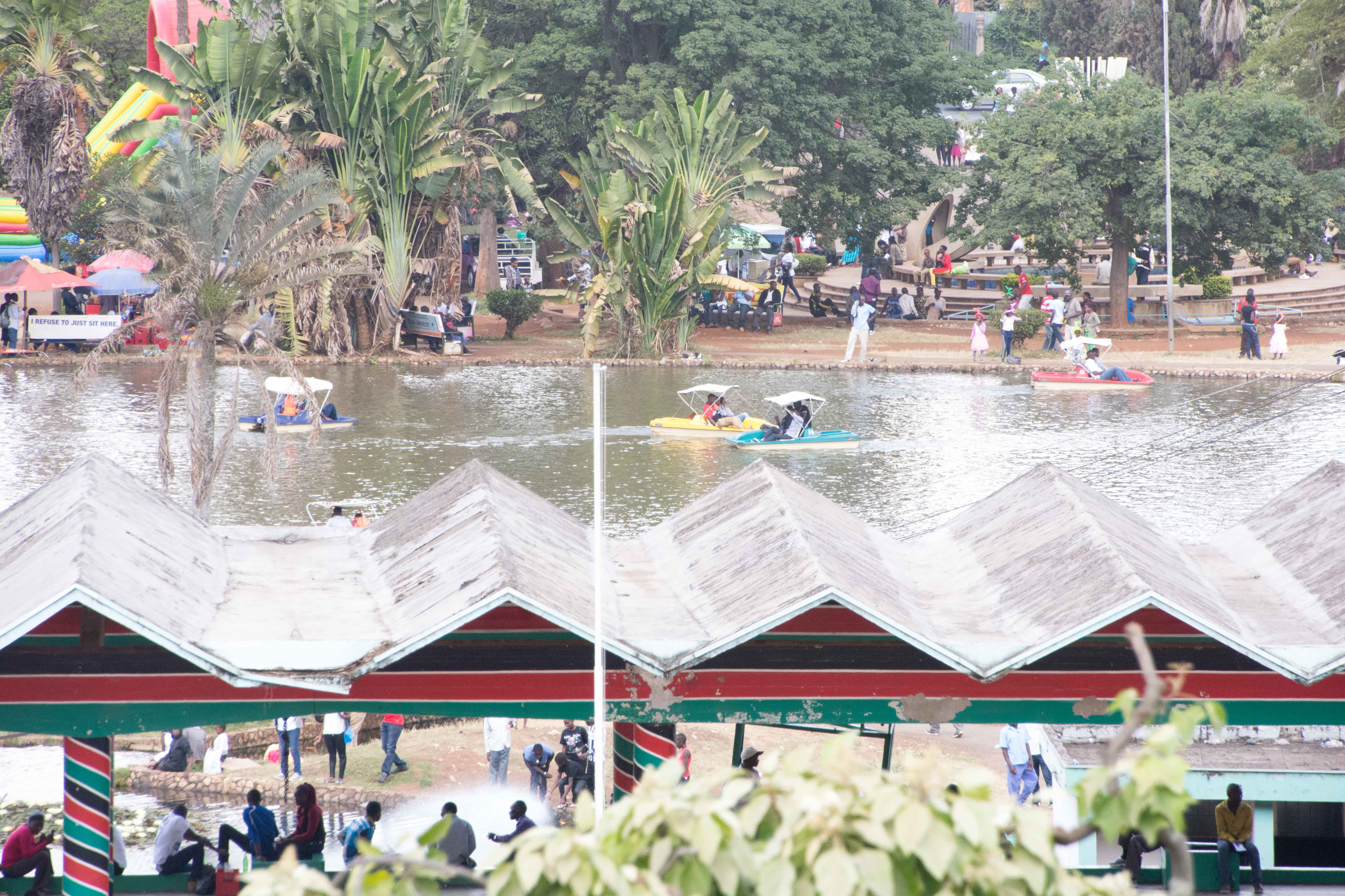
Thursday, Nov. 16 — We’ve traveled on planes, taxis, buses, and boat. Today we get to add the train.
But before that we took a bus tour of the Colon area, and then headed to the Agua Clara locks. These are the new locks that run parallel to the Gatun locks for the larger ships.
Rey told us a lot about the Colon area, as he lives here, and has most of his life. During the period of US control of the Canal, he worked for the US, and lived on the base near our hotel. We were given the tour on the bus, which also kept us out of the rain. As part of the transfer to Panamanian control at the end of 1999, the bases were turned over to the Panama Canal Agency. Much of the housing was sold to private ownership, and while the basic structures are all still quite similar to the eye, many have been improved and maintained.
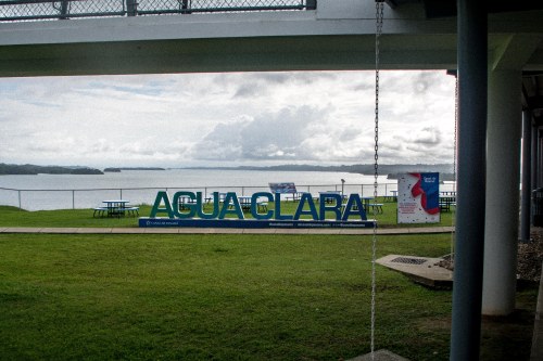 Our next stop is the Agua Clara locks complex, opened in 2016. In 2007, the Panama Canal Authority was authorized by popular vote to bring the aging Panama Canal up to a higher capacity. The vote authorized the building of the wider canal lock structures to allow ships that exceed the old Panamax size vessels into the Gatun Lake and to deepen and widen the lake channels so more traffic could flow more easily.
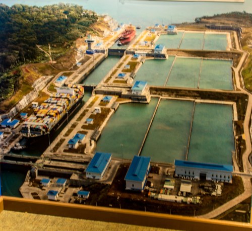 Agua Clara locks on the Caribbean side provide this extra access. This aerial view of the locks shows clearly one of the obvious improvements over the older locks. Each lock bay empties its water into three reservoirs, which then are used to fill the bay back up when appropriate. The older locks on this end get water from Gatun Lake and dump it into Caribbean as they were designed back in the days long before global warming. The new design diminishes the water necessary to operate the locks. As with the older locks, there are no pumps, the water is moved strictly with gravity flow from place to place.
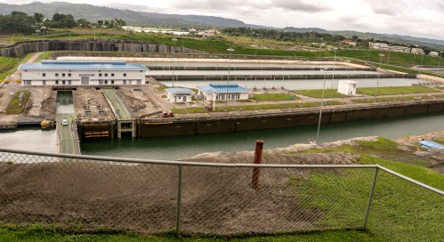
The picture above shows the Gatun Lake side of Agua Clara, coming up to the first gate. Note in the lower picture that the gates are car-capable-road width, and are pushed across the lock bay using hydraulic pressure rather than the electric cable systems used by the smaller gates in the older locks.

Above you see the lock bays emptying into the Caribbean, each bay slightly lower as your vision moves from left to right.

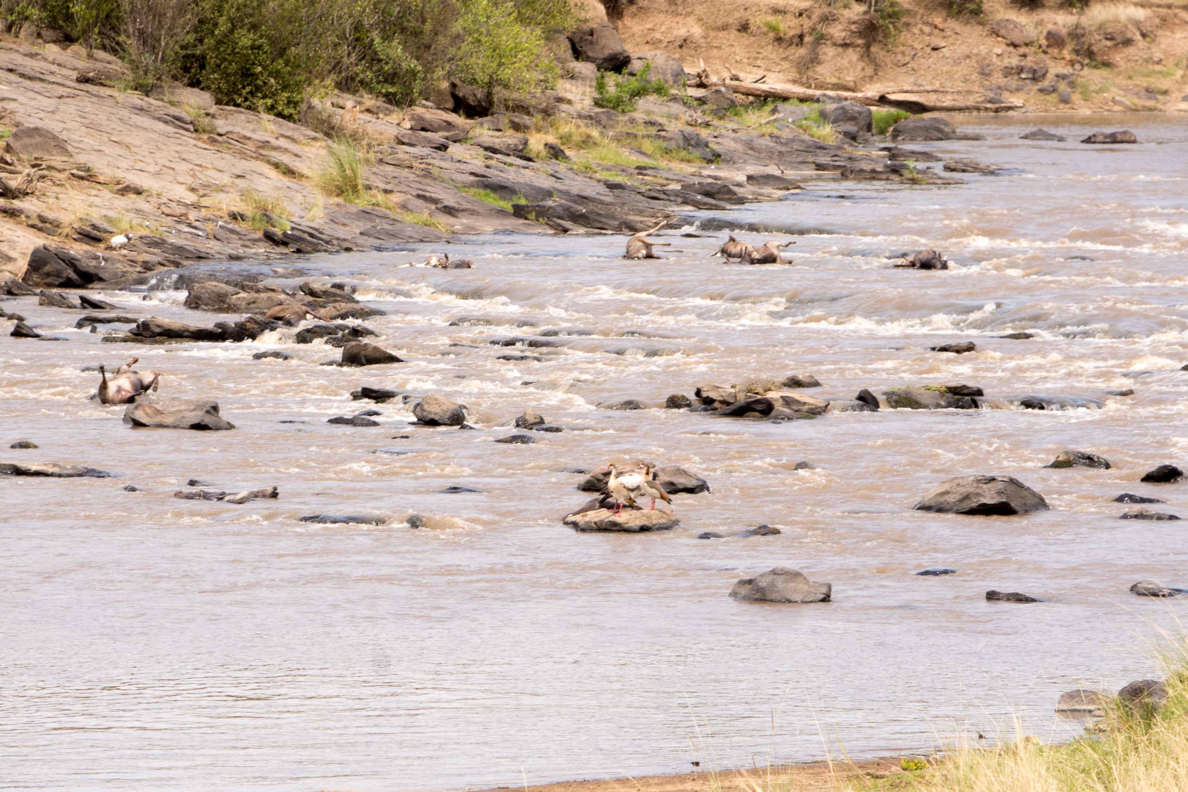
Here can be seen a number of ships that have either just completed the Canal crossing or are waiting for the next opportunity to head for the Pacific side.
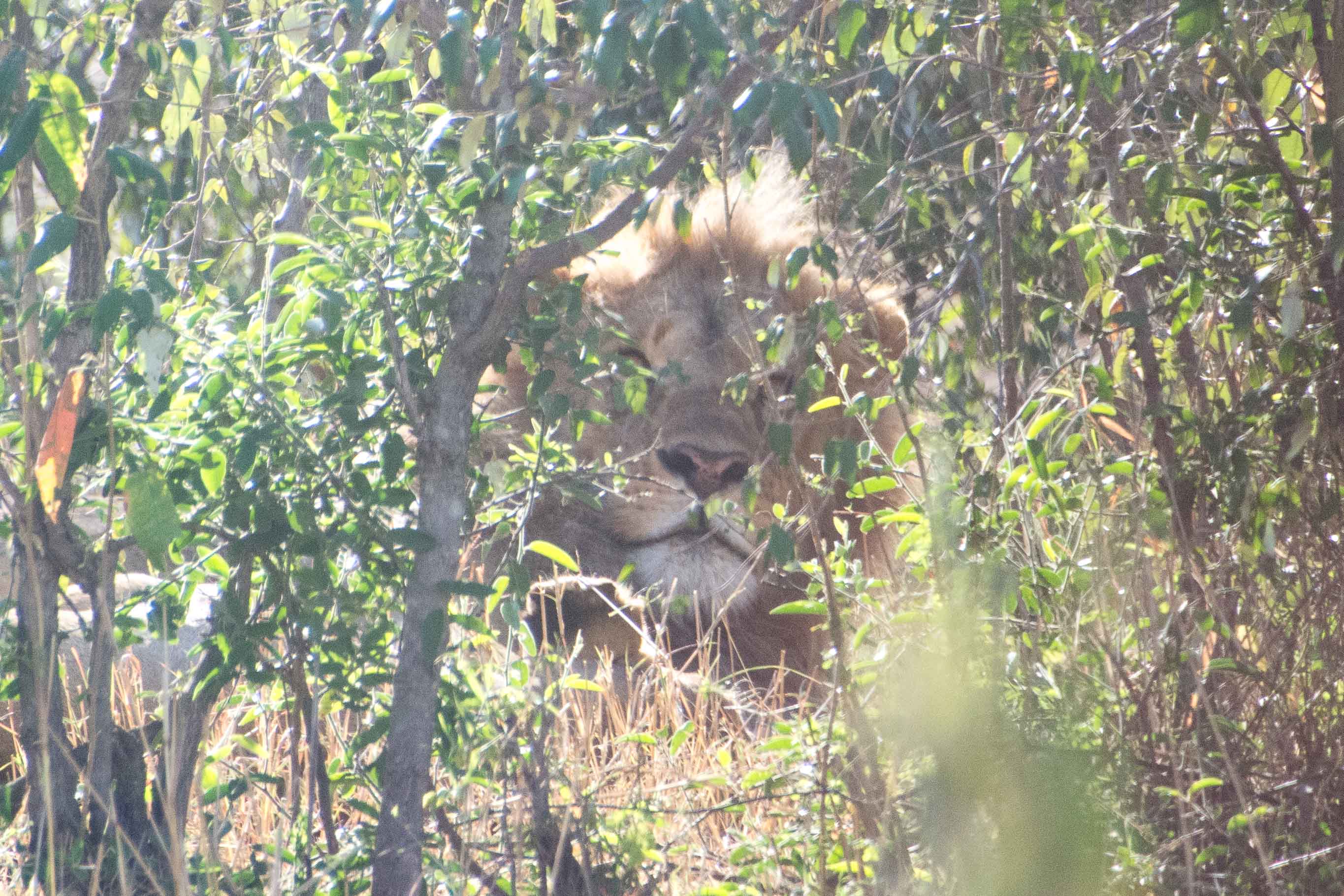
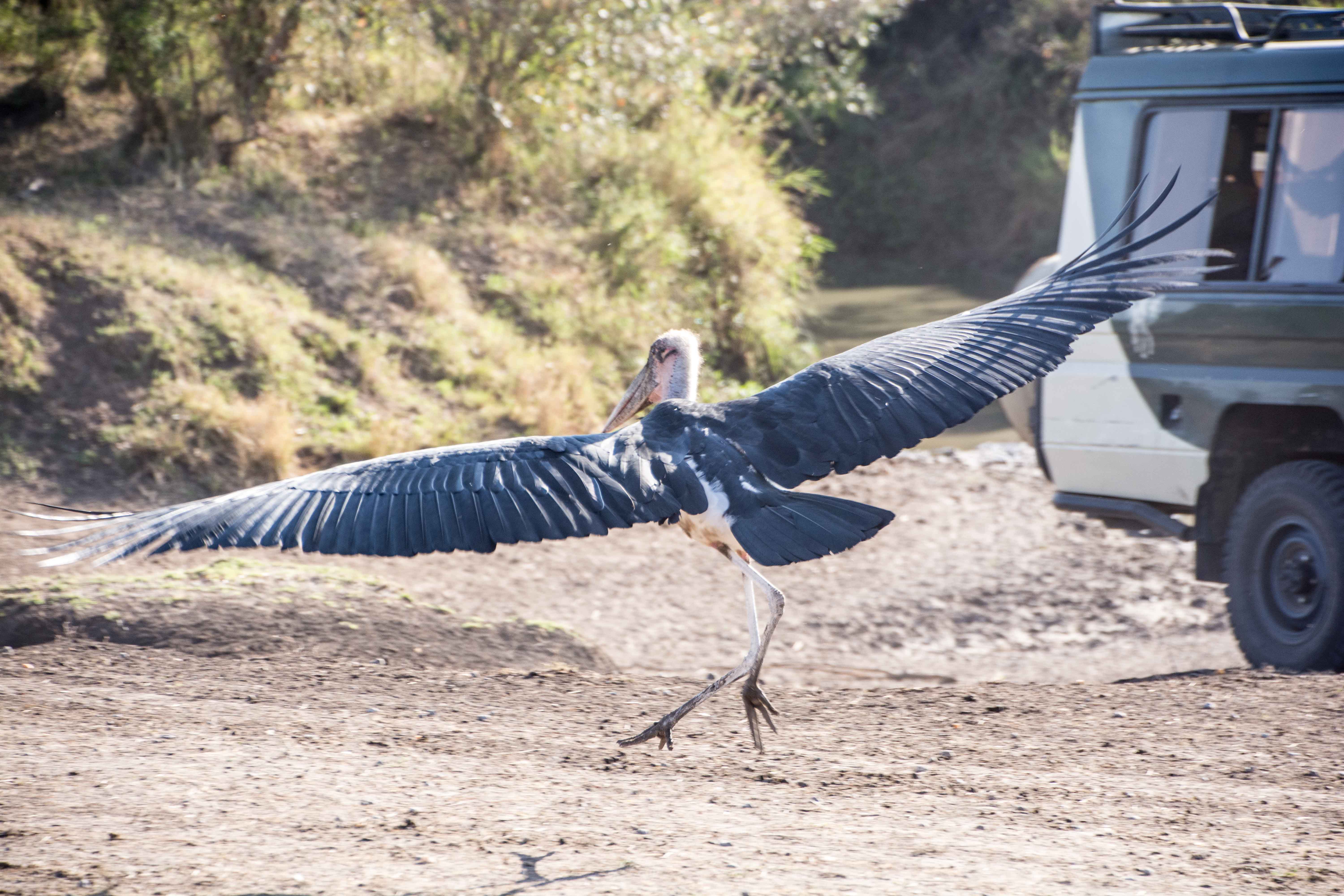
 After looking around awhile, we headed back to the bus. When we got there, we discovered that there is a family of howler monkeys in the trees behind where the bus is parked.
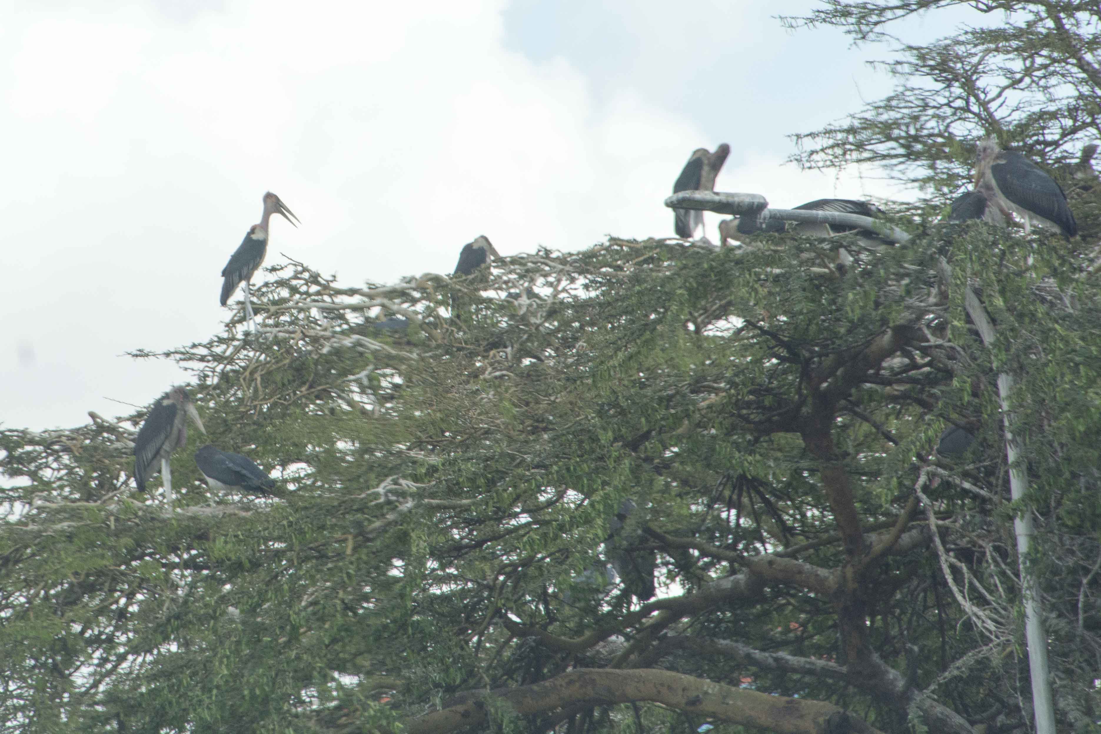
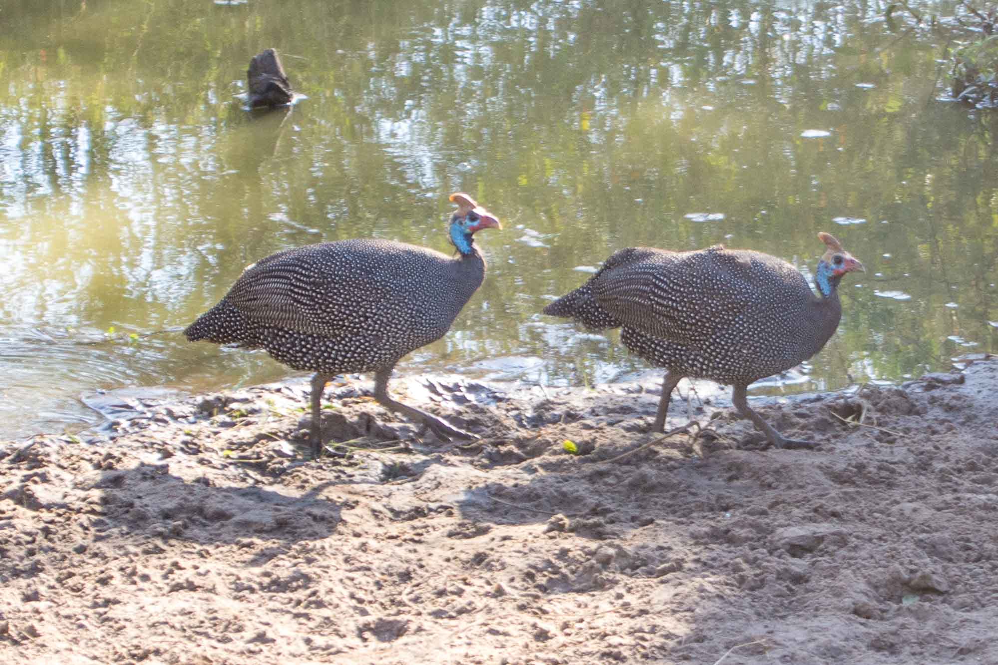
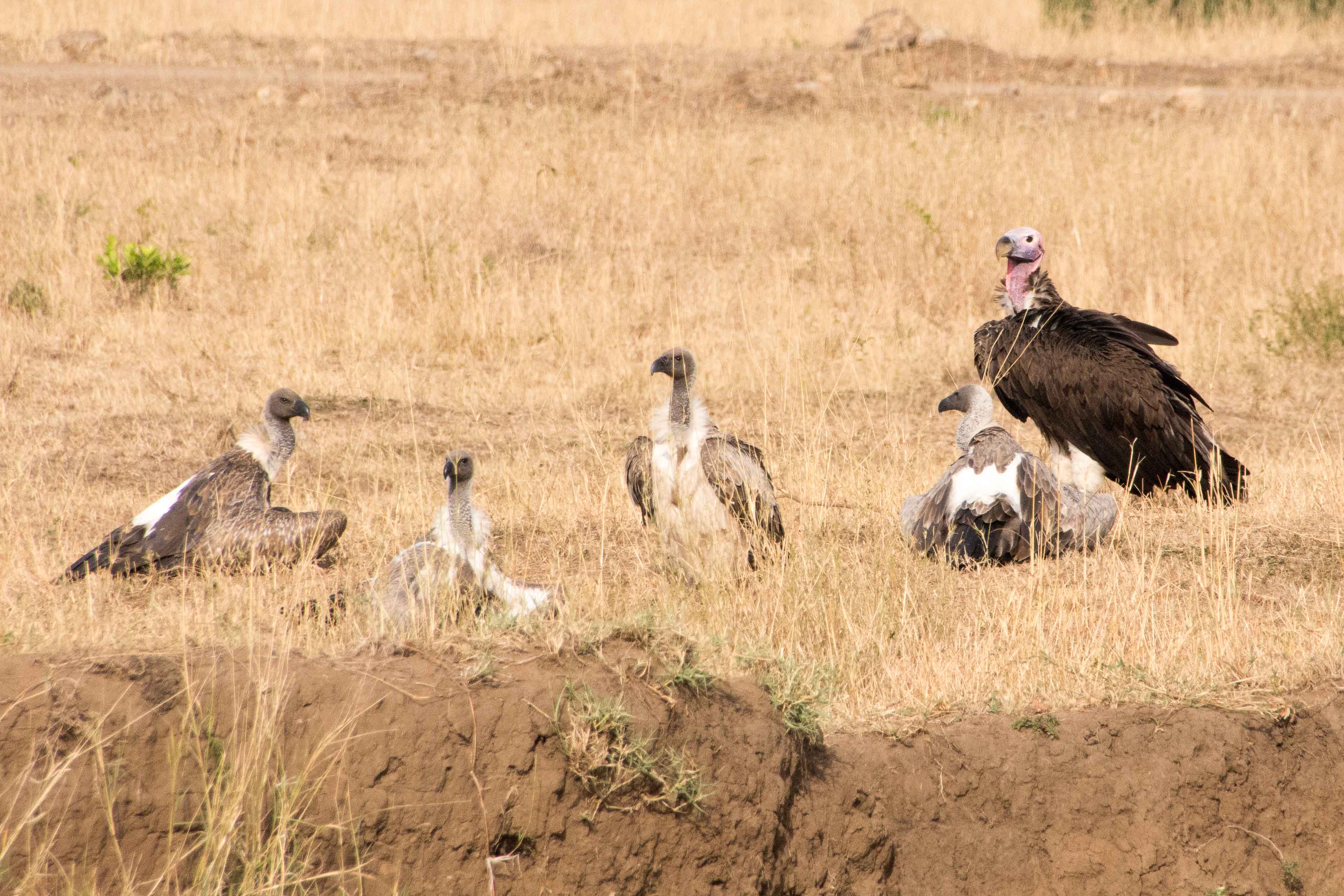
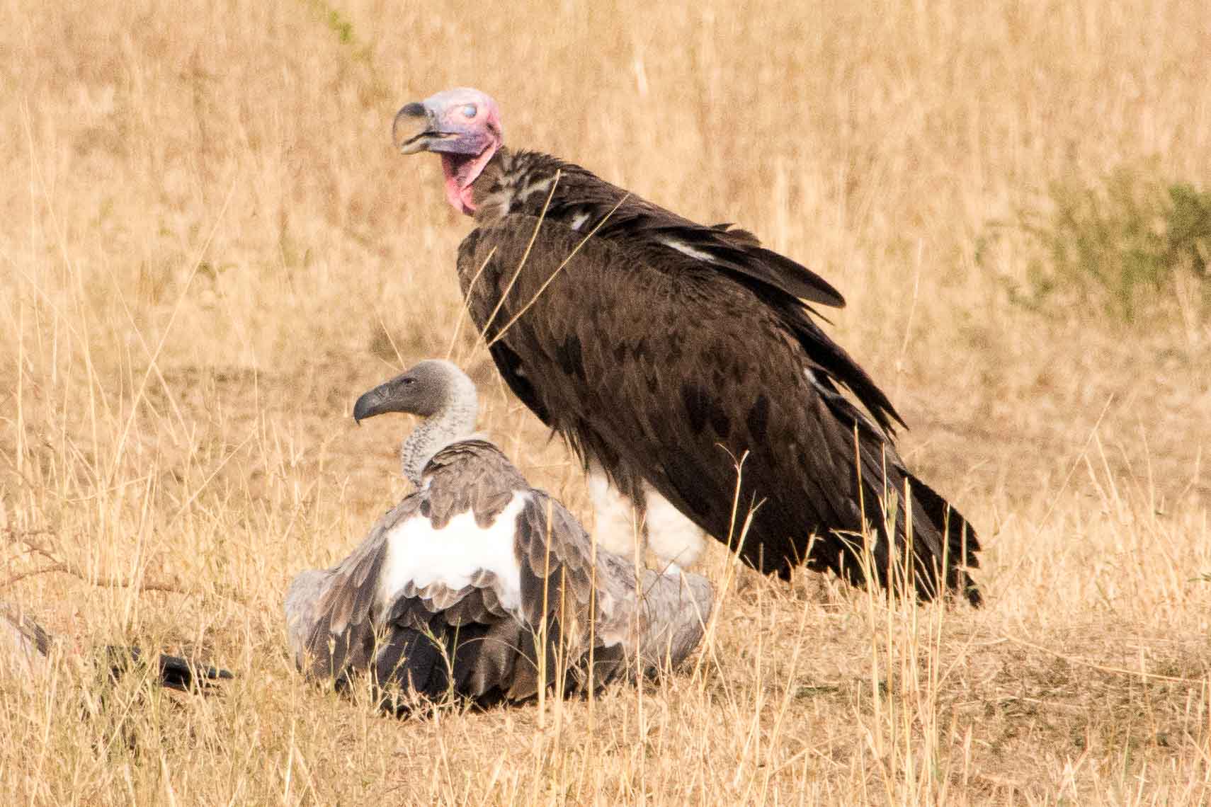
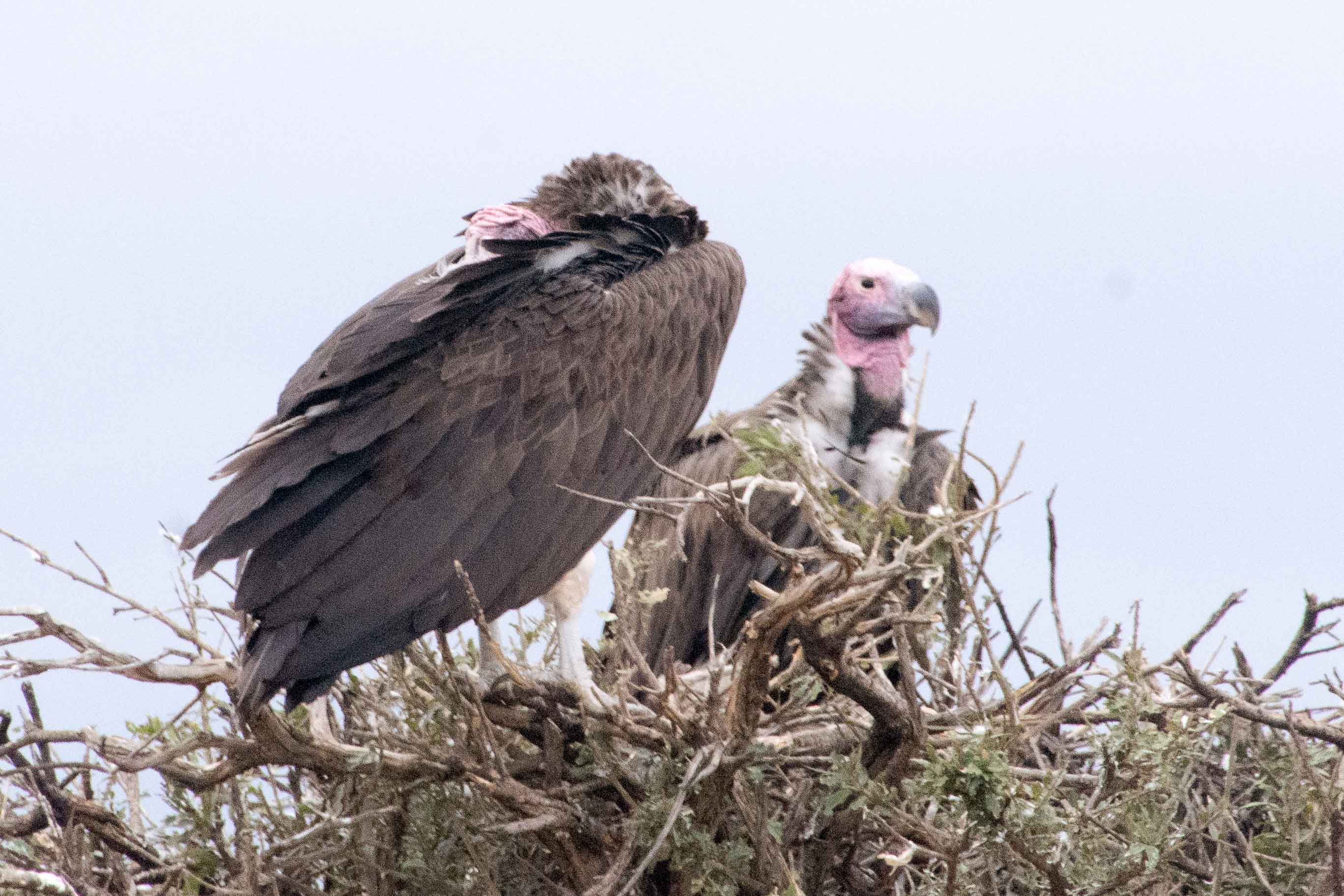
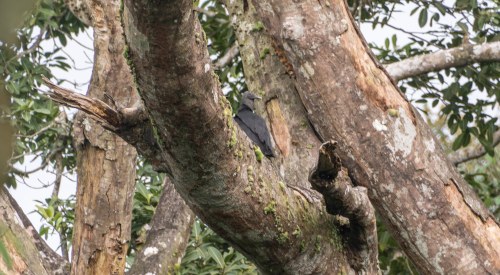 In the trees could also be seen this vulture, well camouflaged.
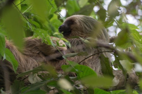


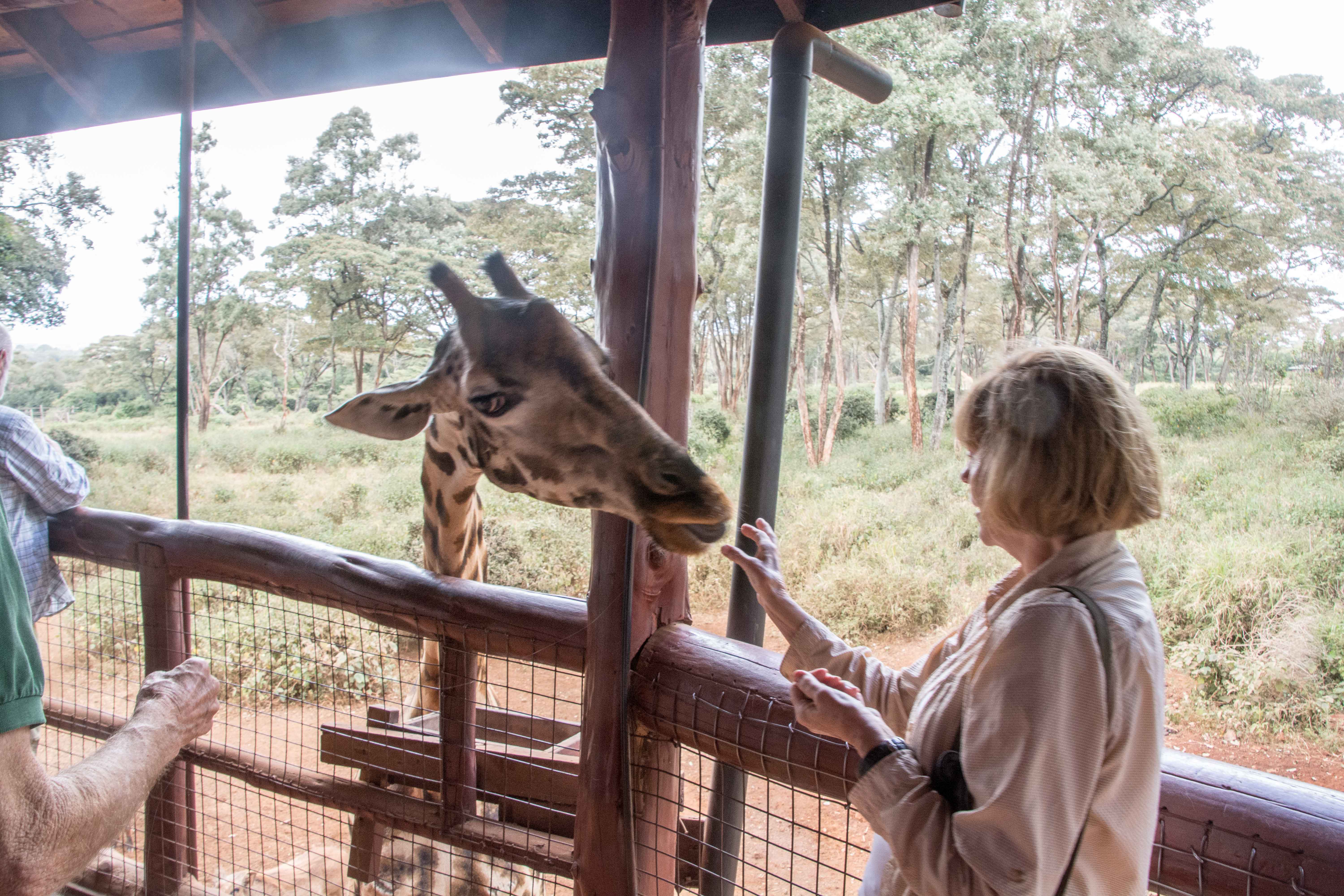
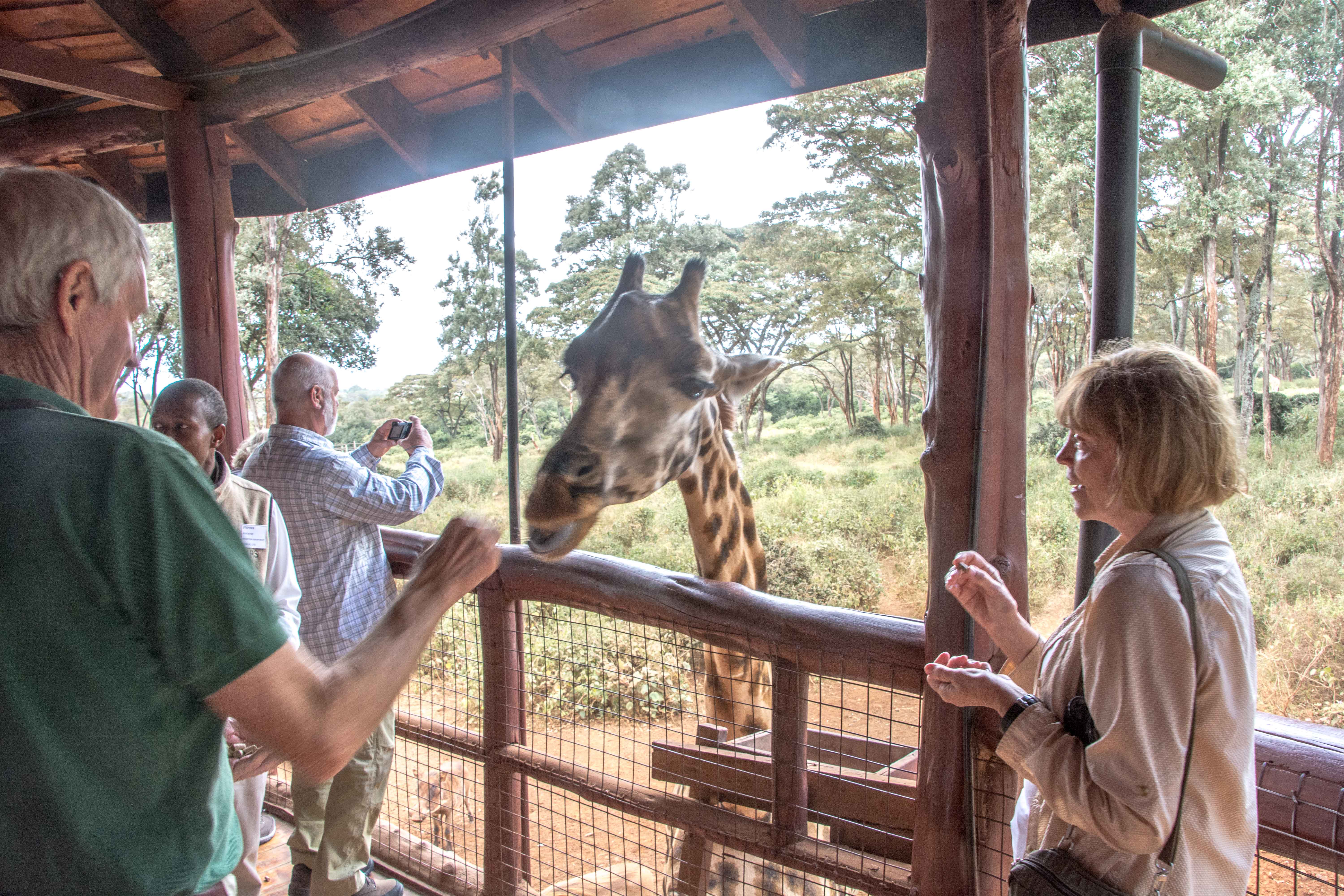
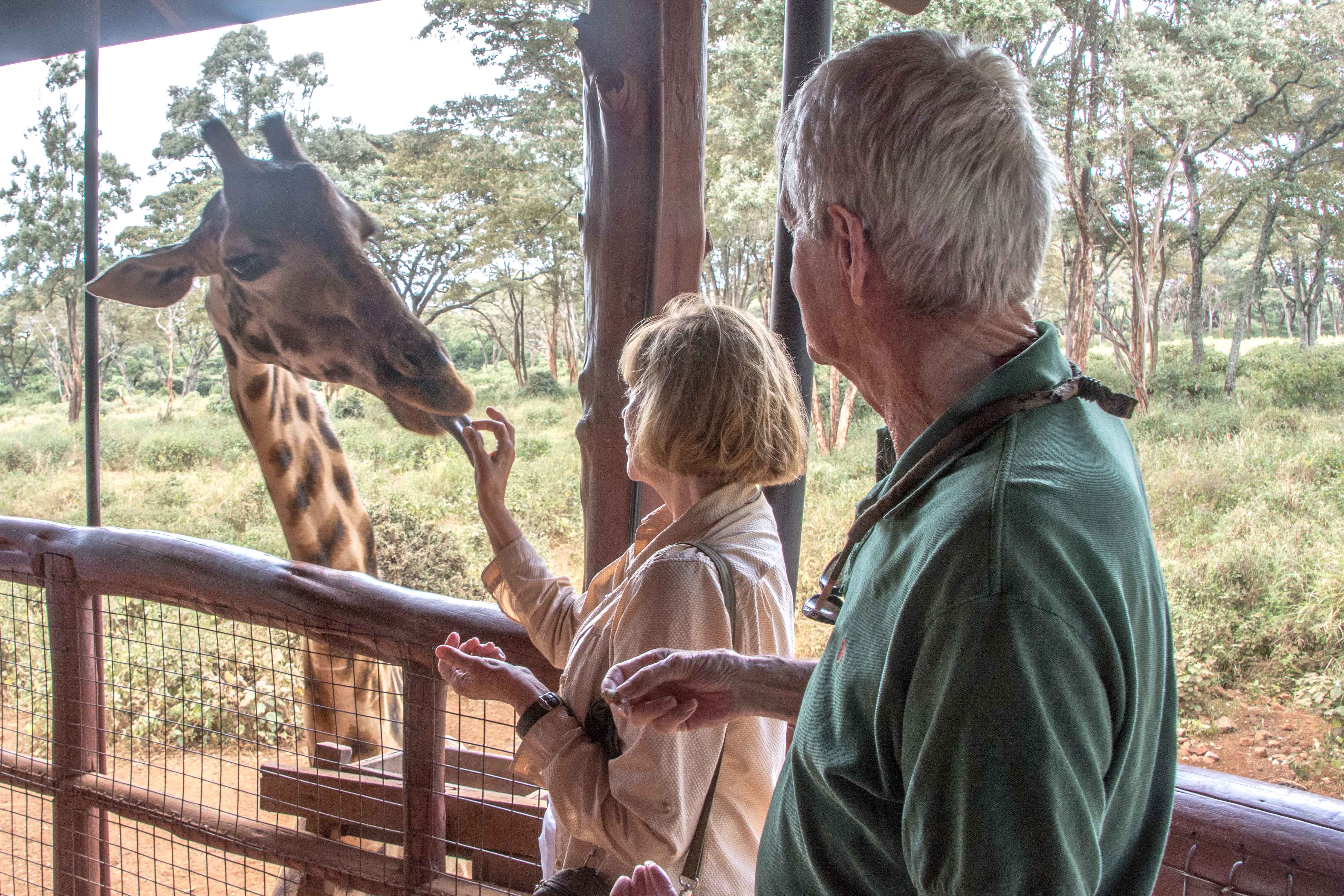
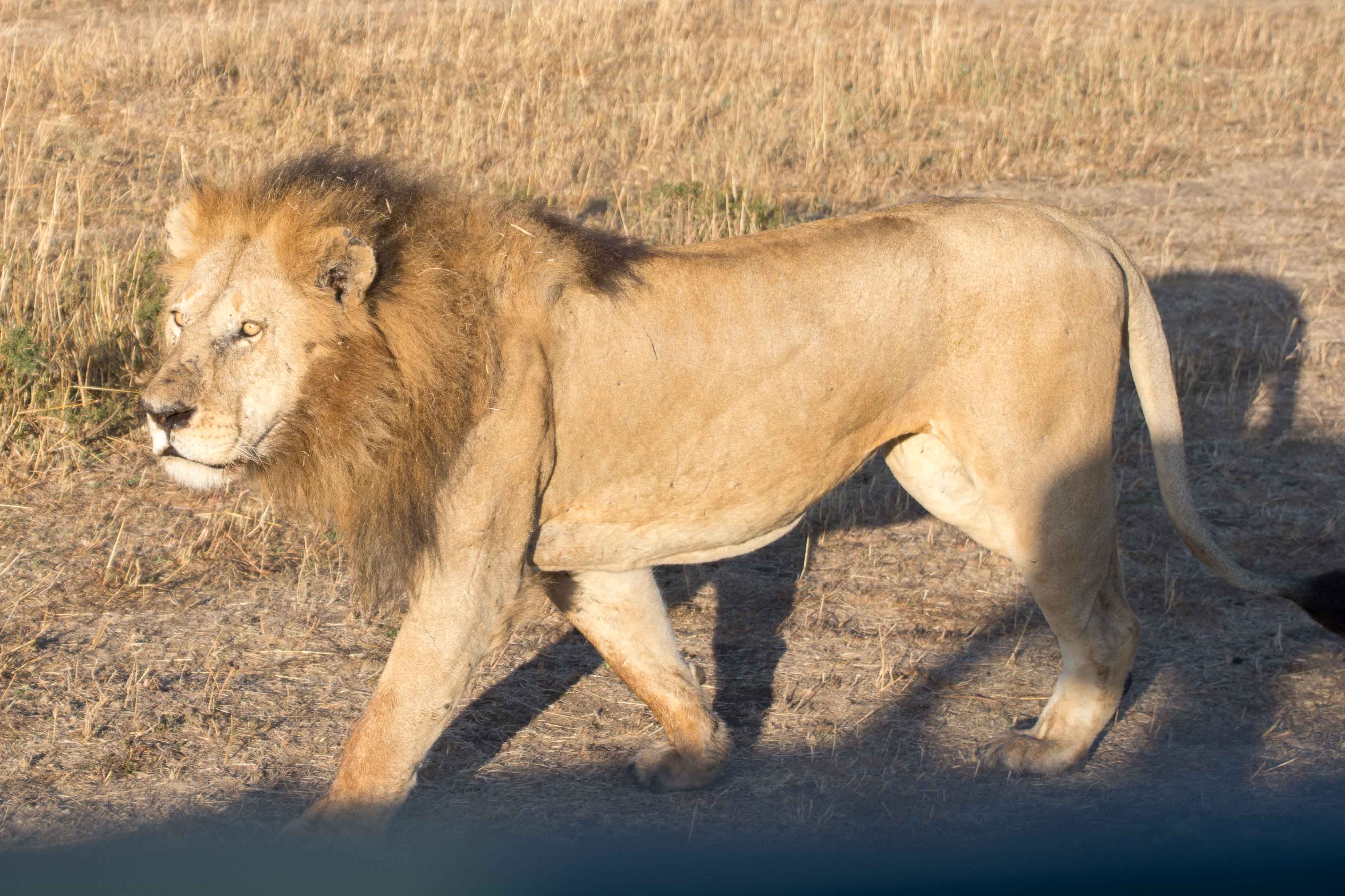
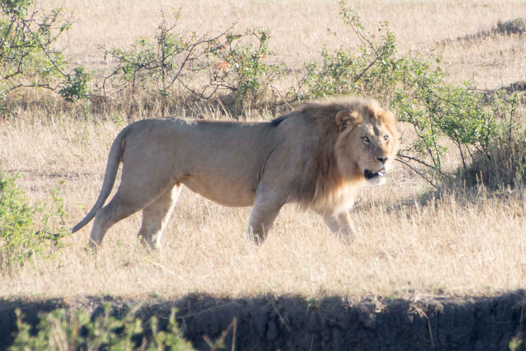
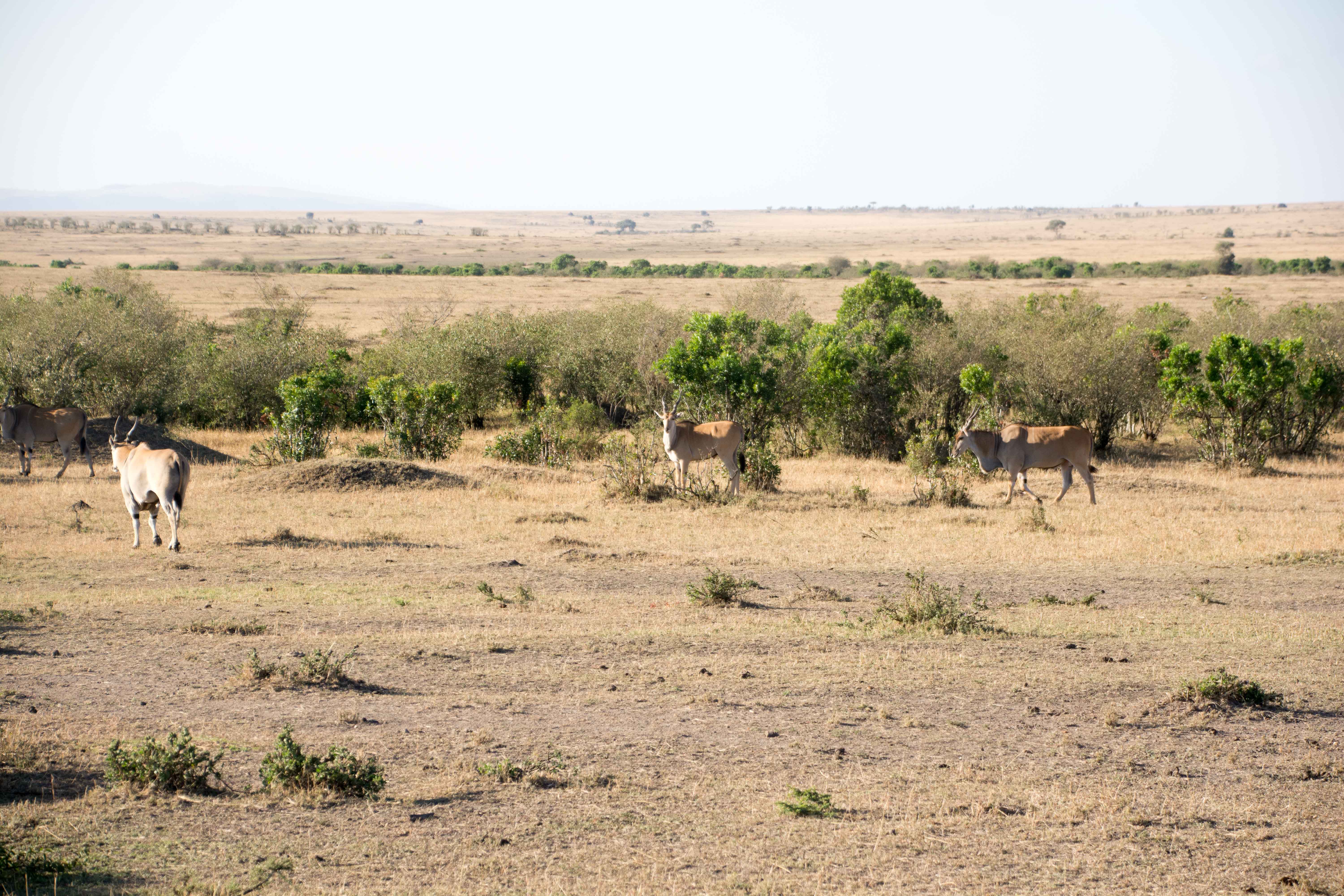
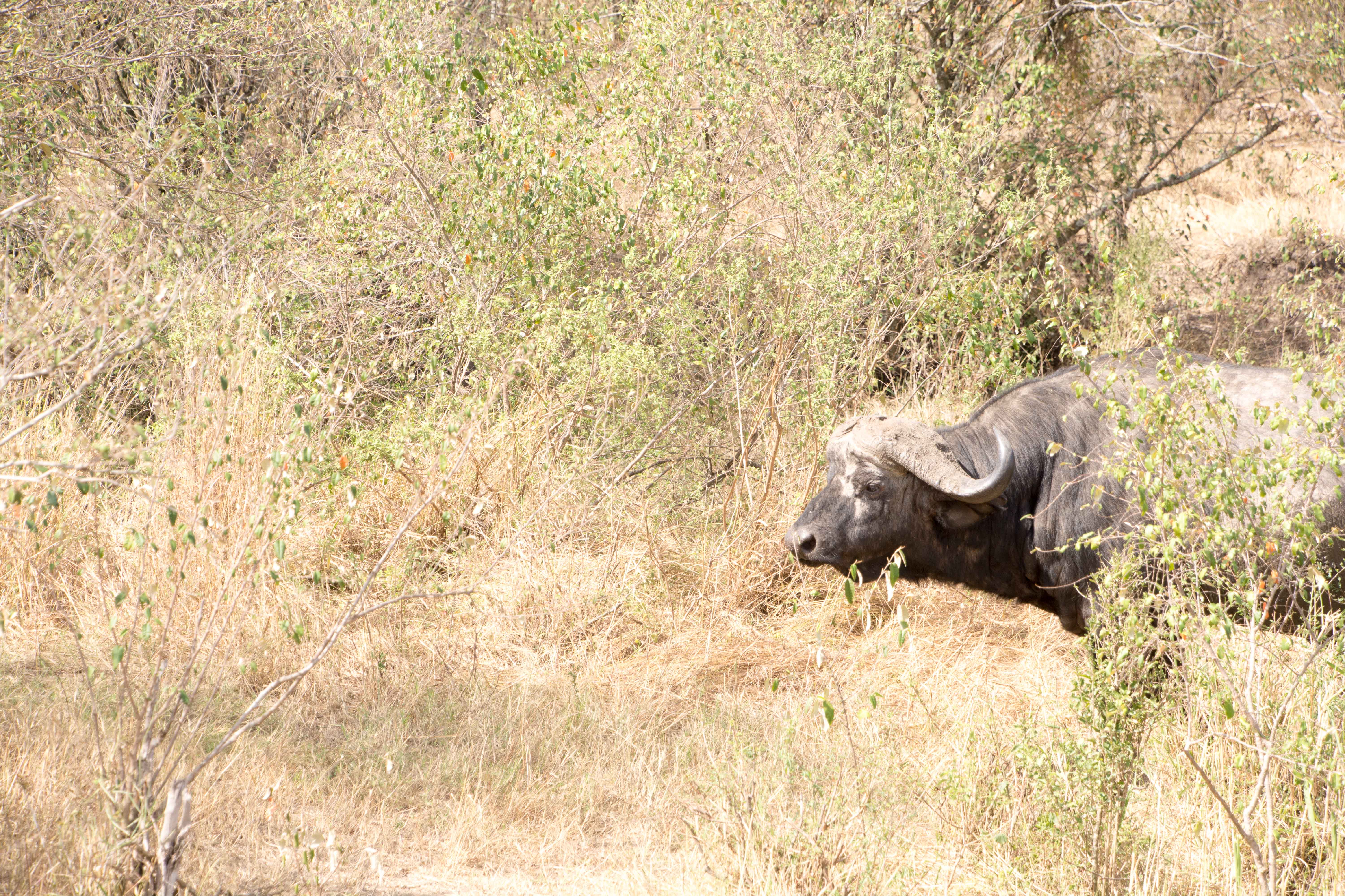
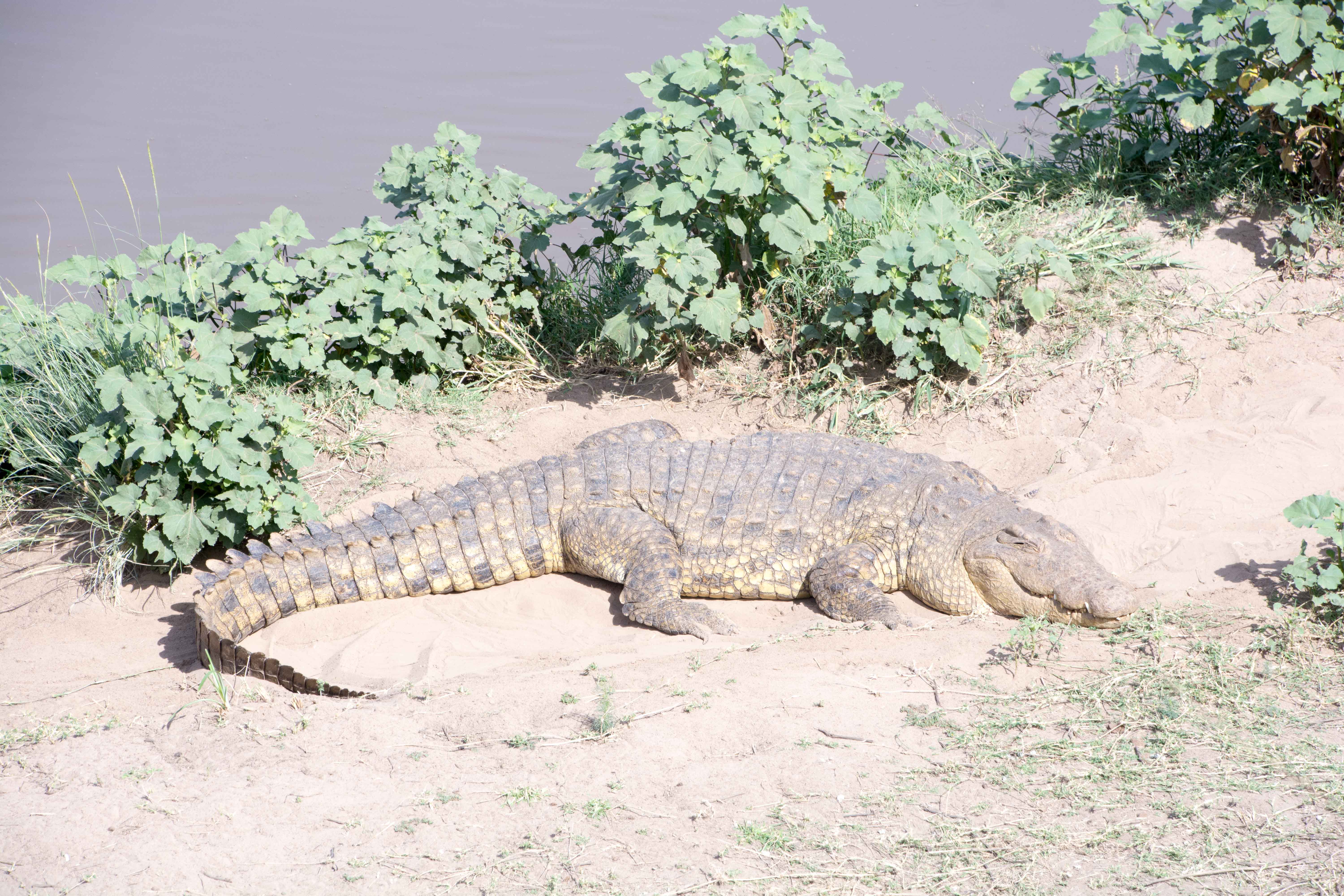
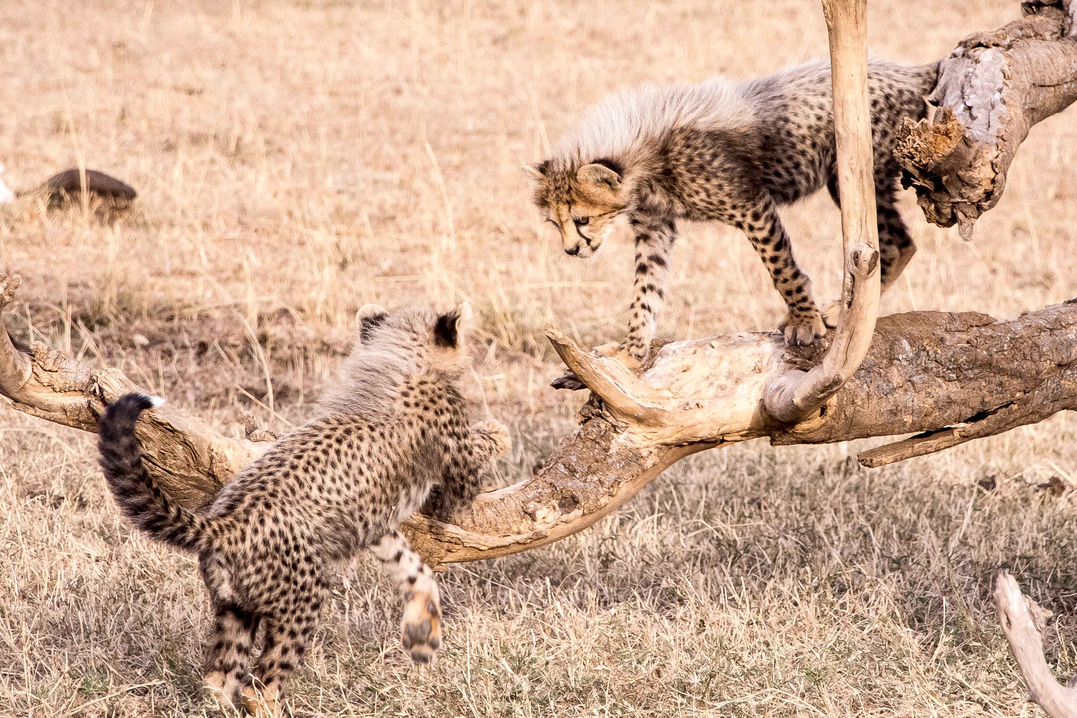
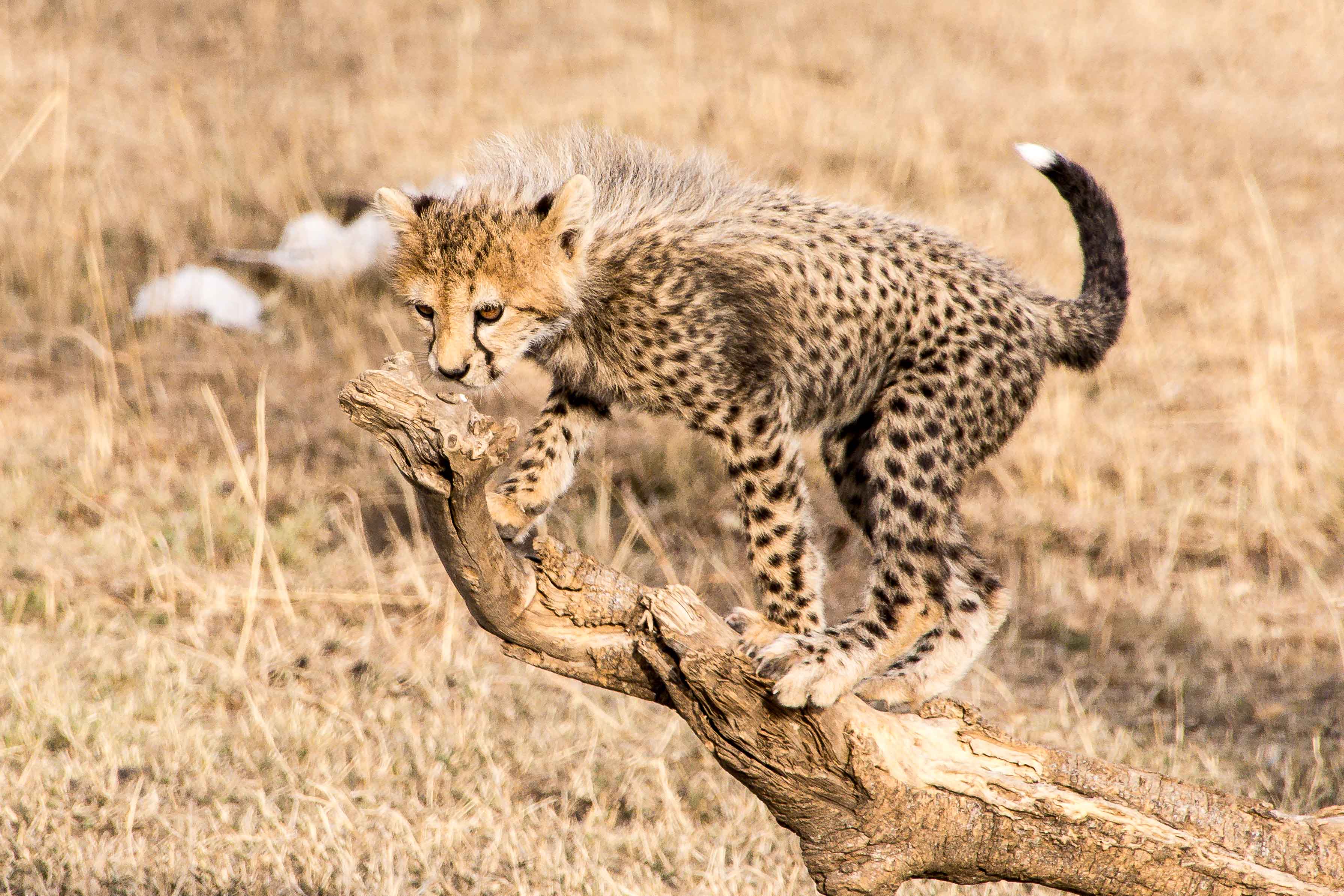
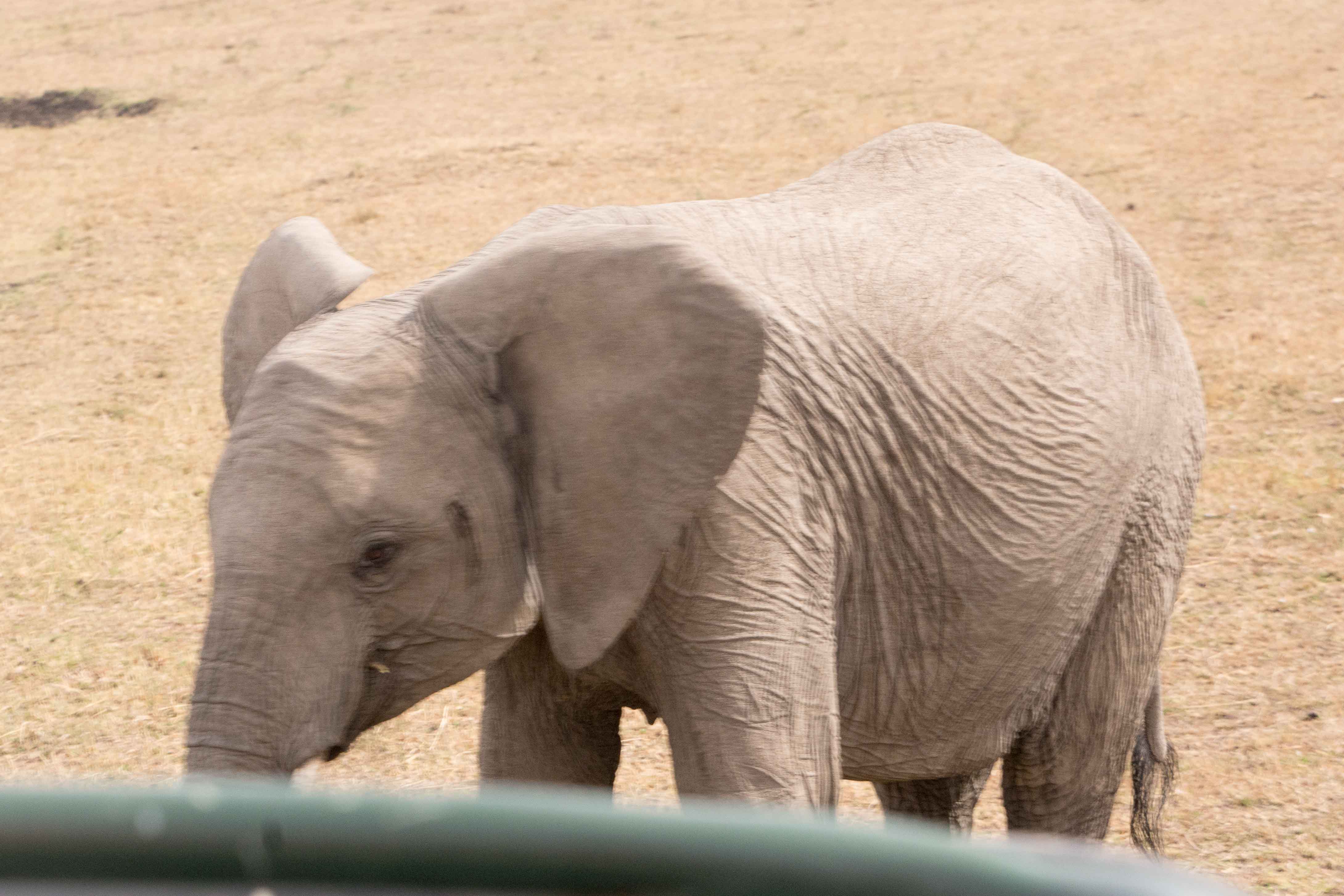
As we drive out toward our next stop, the driver (whose keen eyes provided us the more unique animal sights we saw along the way) caught sight of this sloth and her baby resting themselves.
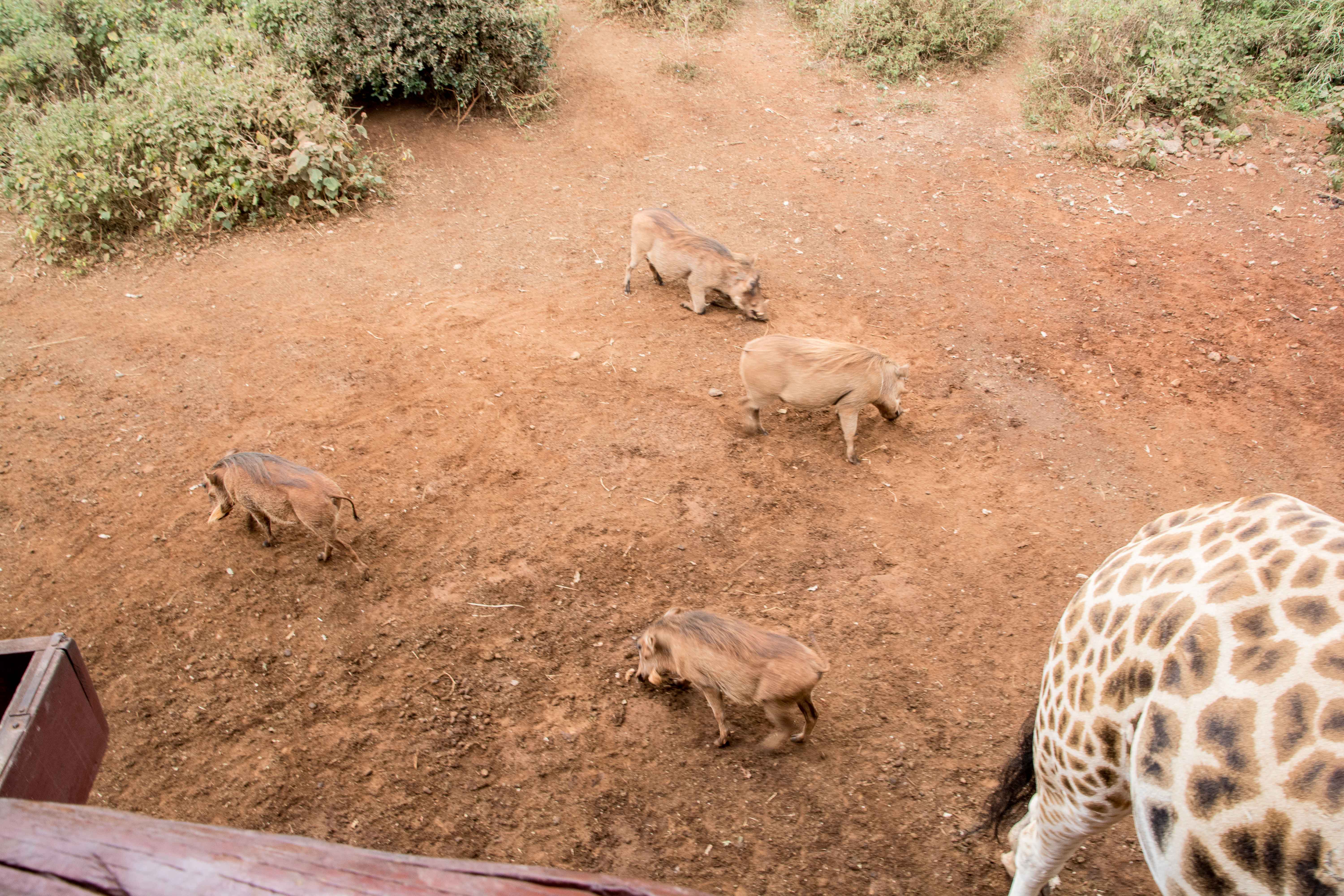
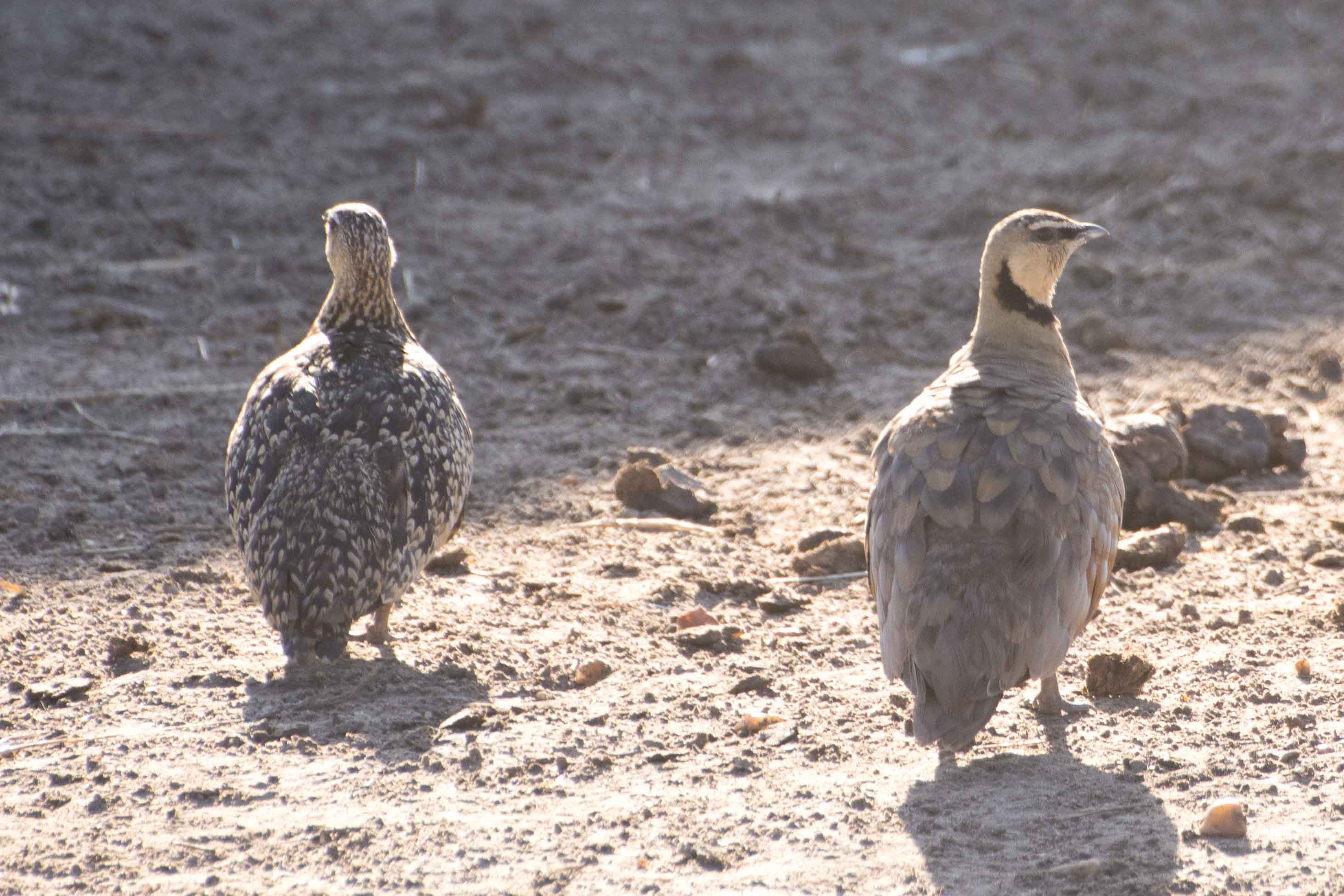
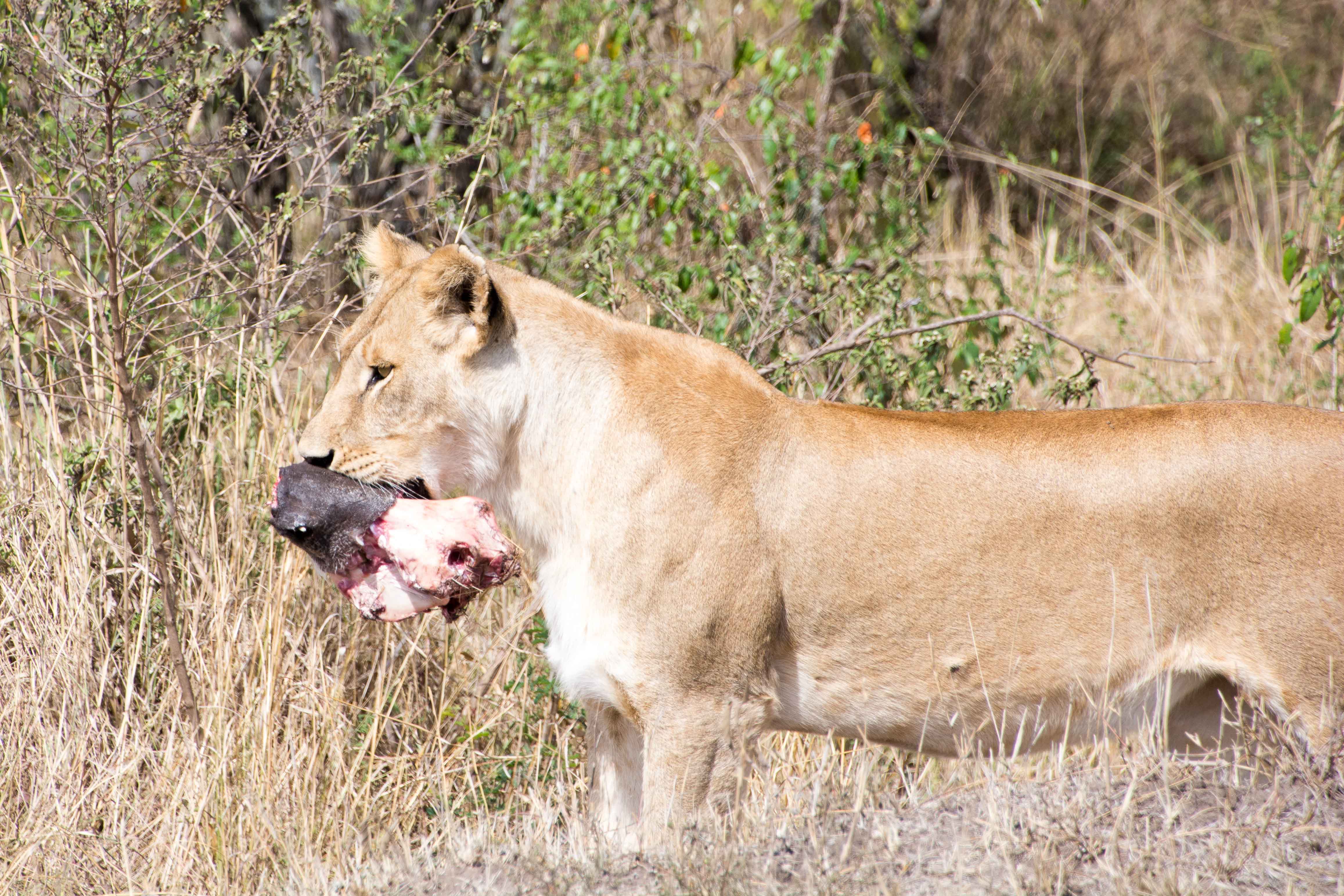
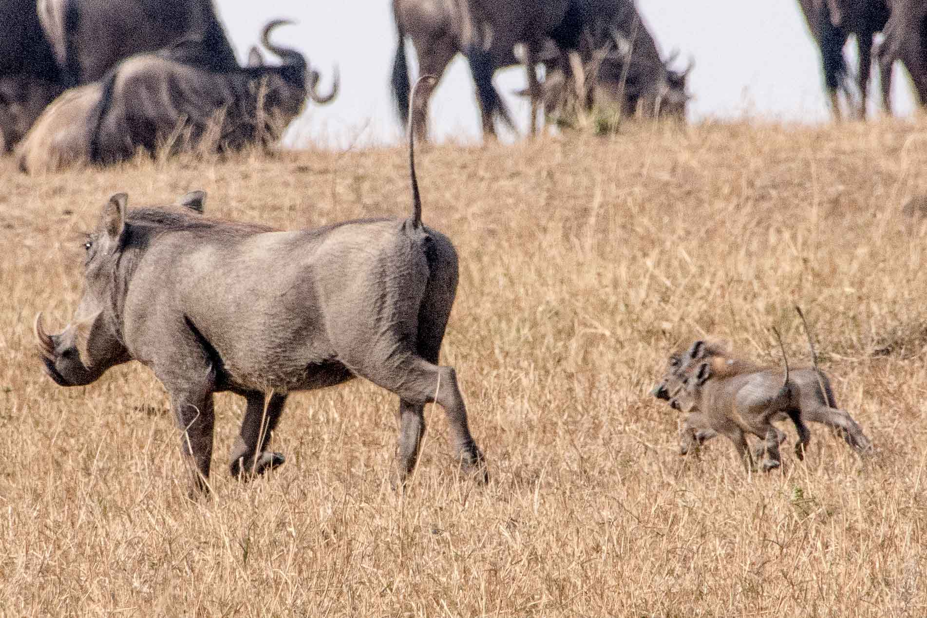
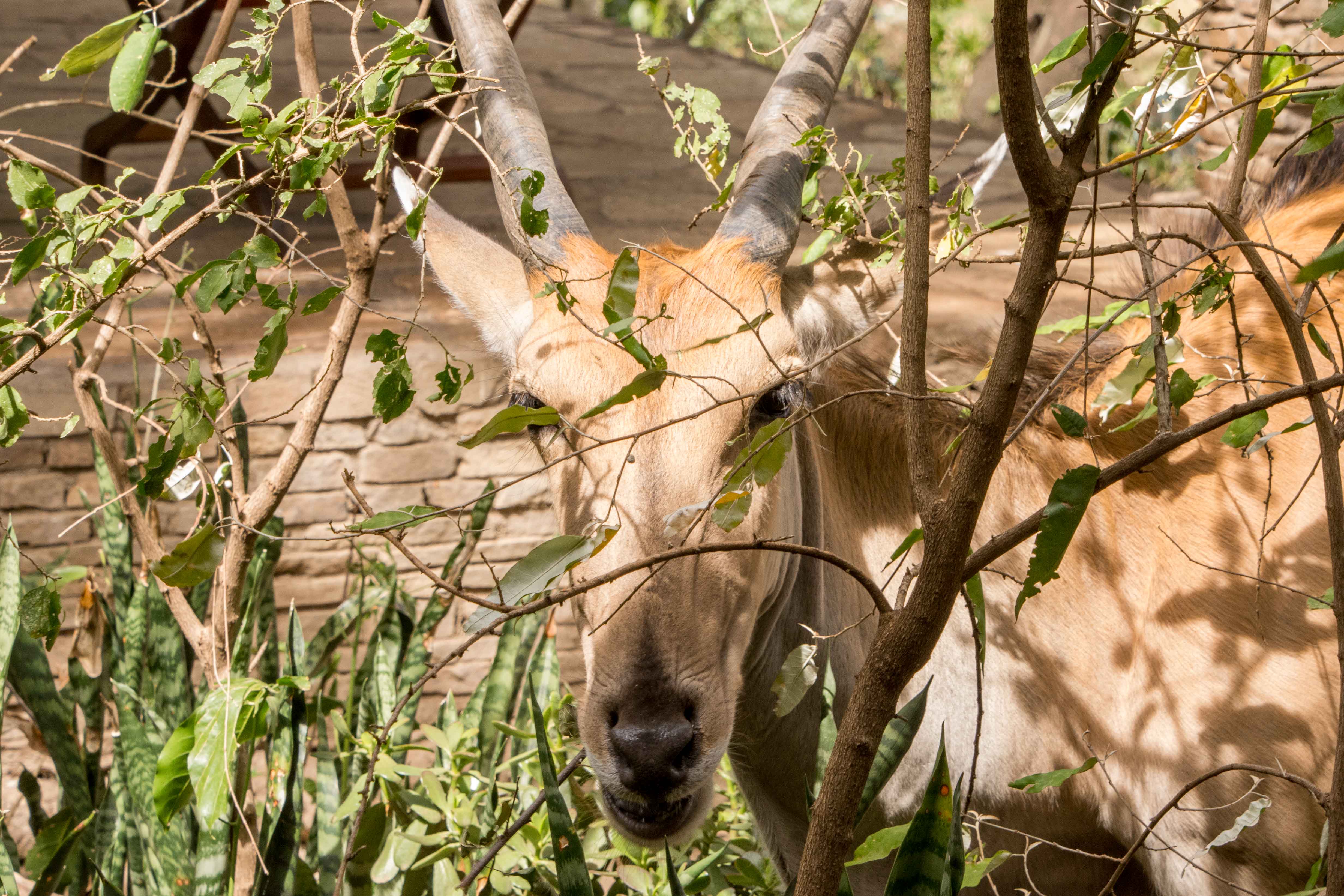
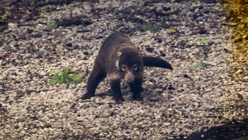 While we are on the animals we saw from the bus, here’s a Coatimundi that was kind enough to pose for pictures. I’m told this animal is related to the raccoon that we know and periodically see in Michigan.
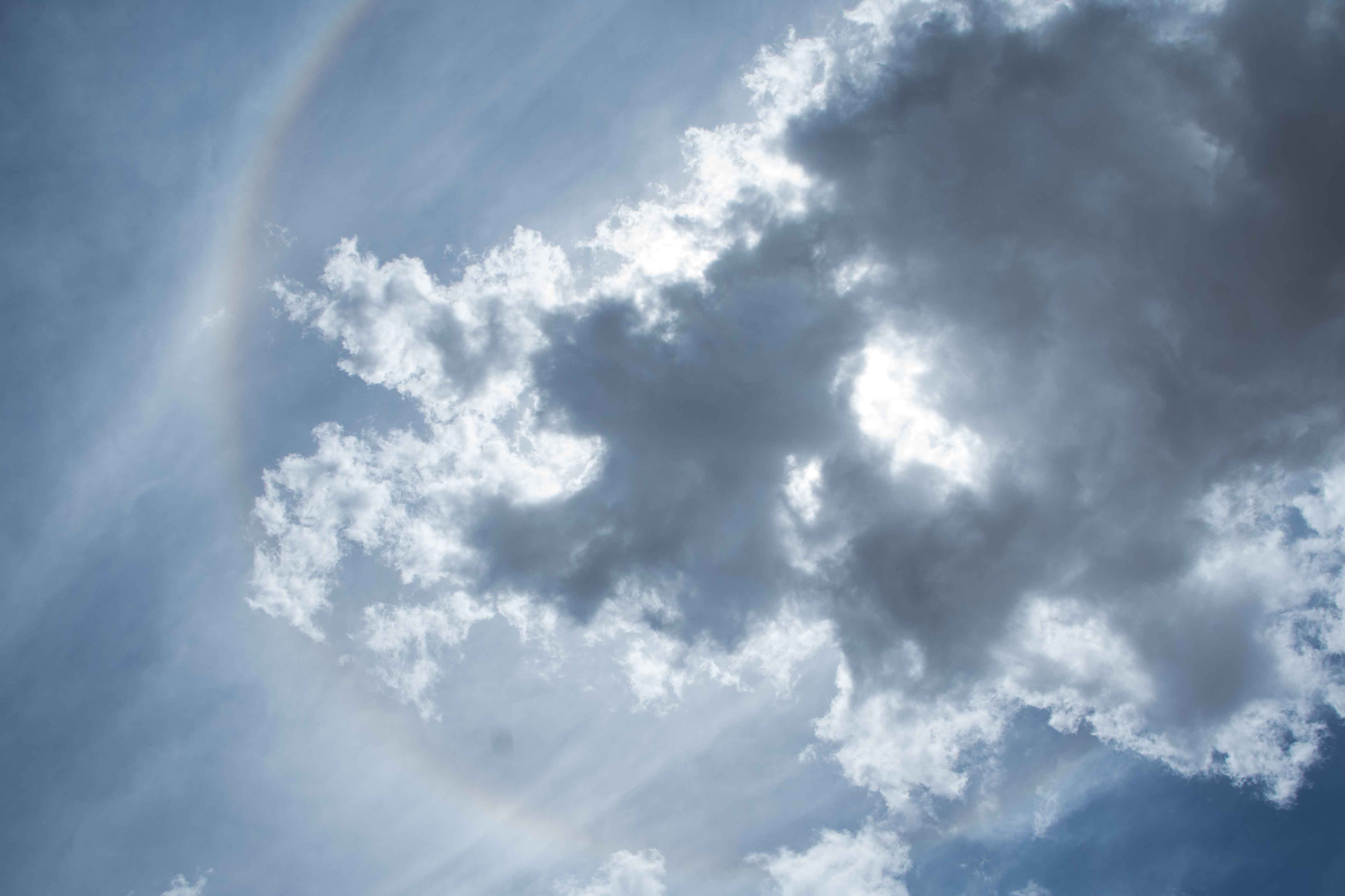
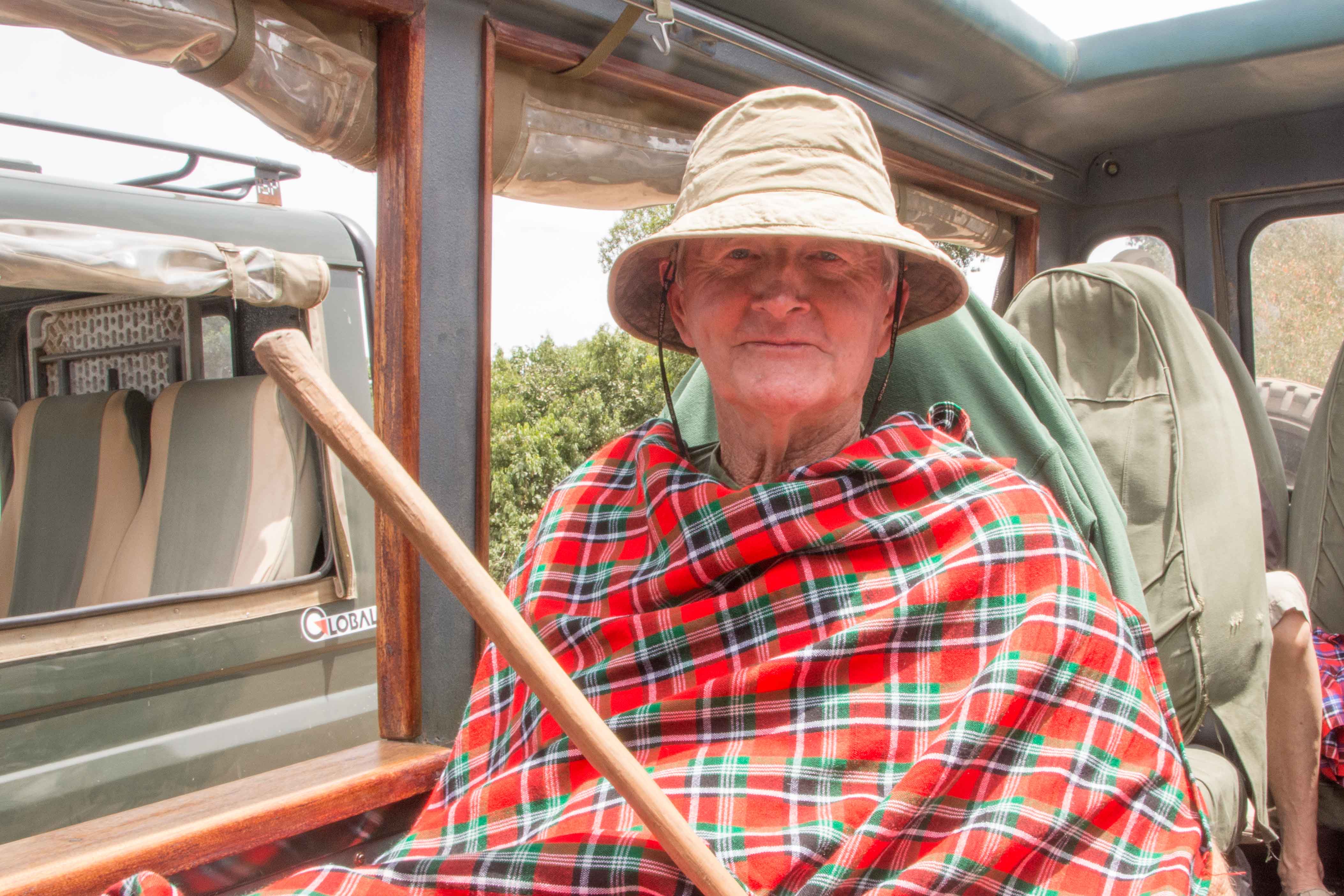
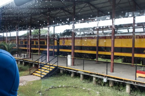 Next up is our train ride back across the isthmus to Panama City. I want to compliment our tour guides for their excellent timing on this trip. Even though we were visiting at the height of the rainy season, we almost never were out in the rain. As can be seen in many of the pictures, there were often huge cloud formations above us, but to our comfort, when we were outside (like on the boat trip, or walking around old town Panama City), the rain held off. This comes up now because our train ride back to Panama City finds us happily sitting in the domed car while the rain pelts down.
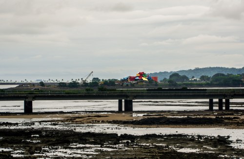
As with most train rides I’ve been on, this one opens with a view of the not-so-impressive parts of Colon.
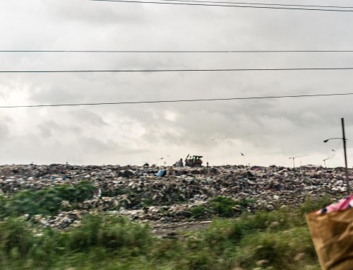 This one is in some senses worse than usual, as we are treated to a view of the garbage dump on our way out of Colon.
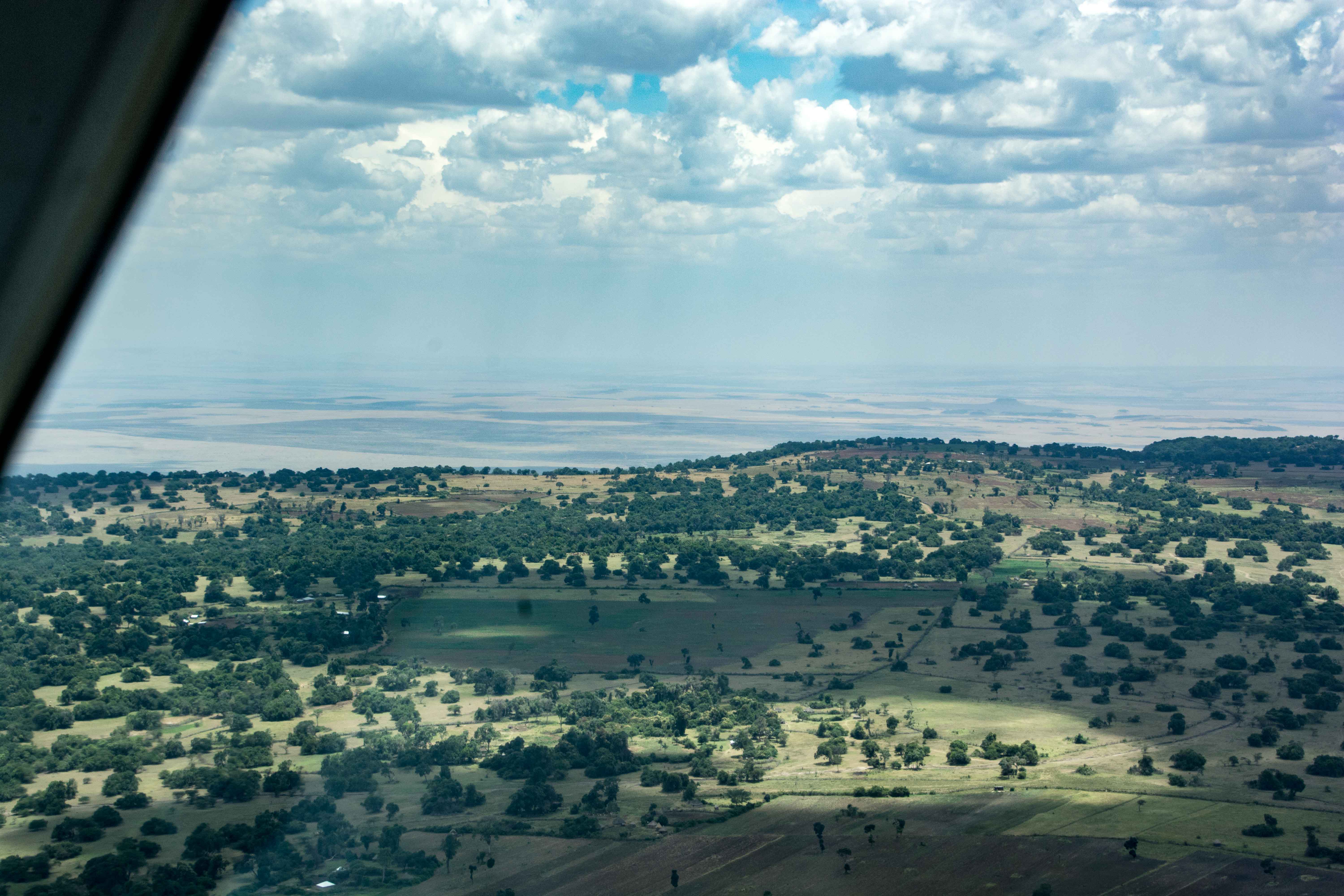
Most of the trip (total time one and a half hours, compared to the nine hours on the Islamorada), gives us good views of Gatun Lake.

 The clouds break up as we head south (yes, the Canal runs basically north-south as Panama itself can be seen on a map to run basically east-west).
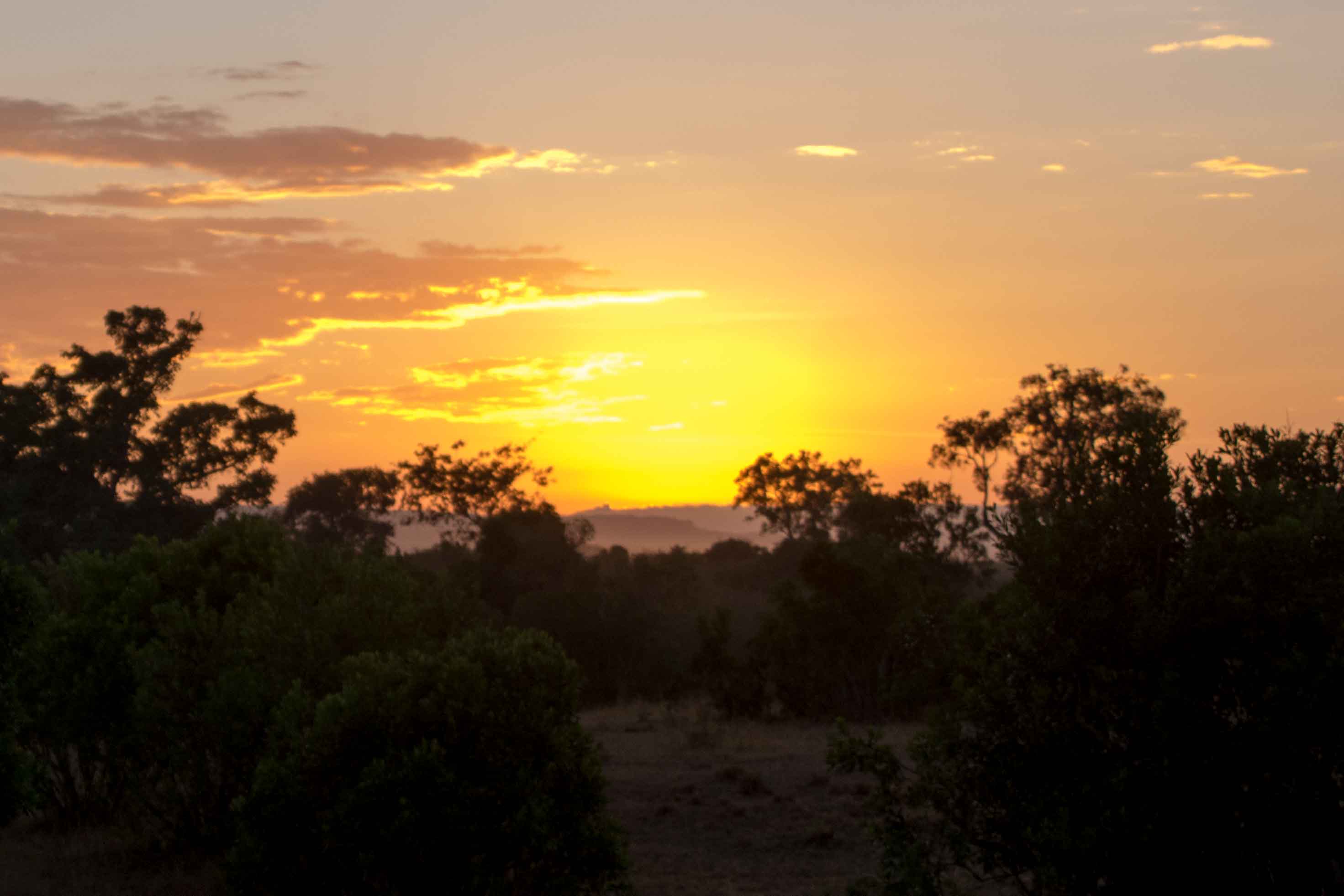
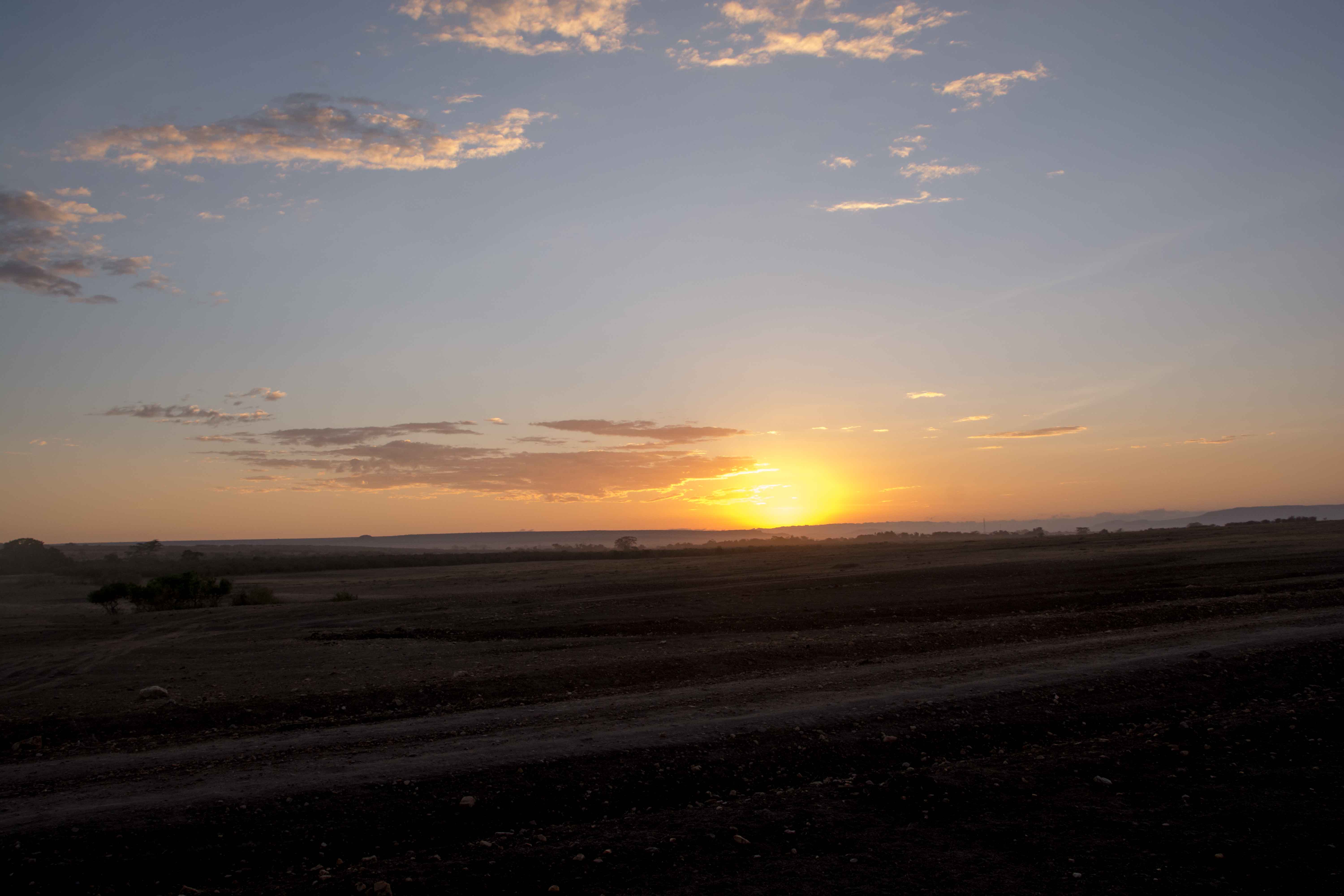
 The sun never really comes out from behind the clouds, although we do get some color from the sunset.


When we get to the station on the Panama City side, we are met by our favorite bus and its expert driver. He uses his considerable skill to take us to our hotel for the night in downtown Panama City.
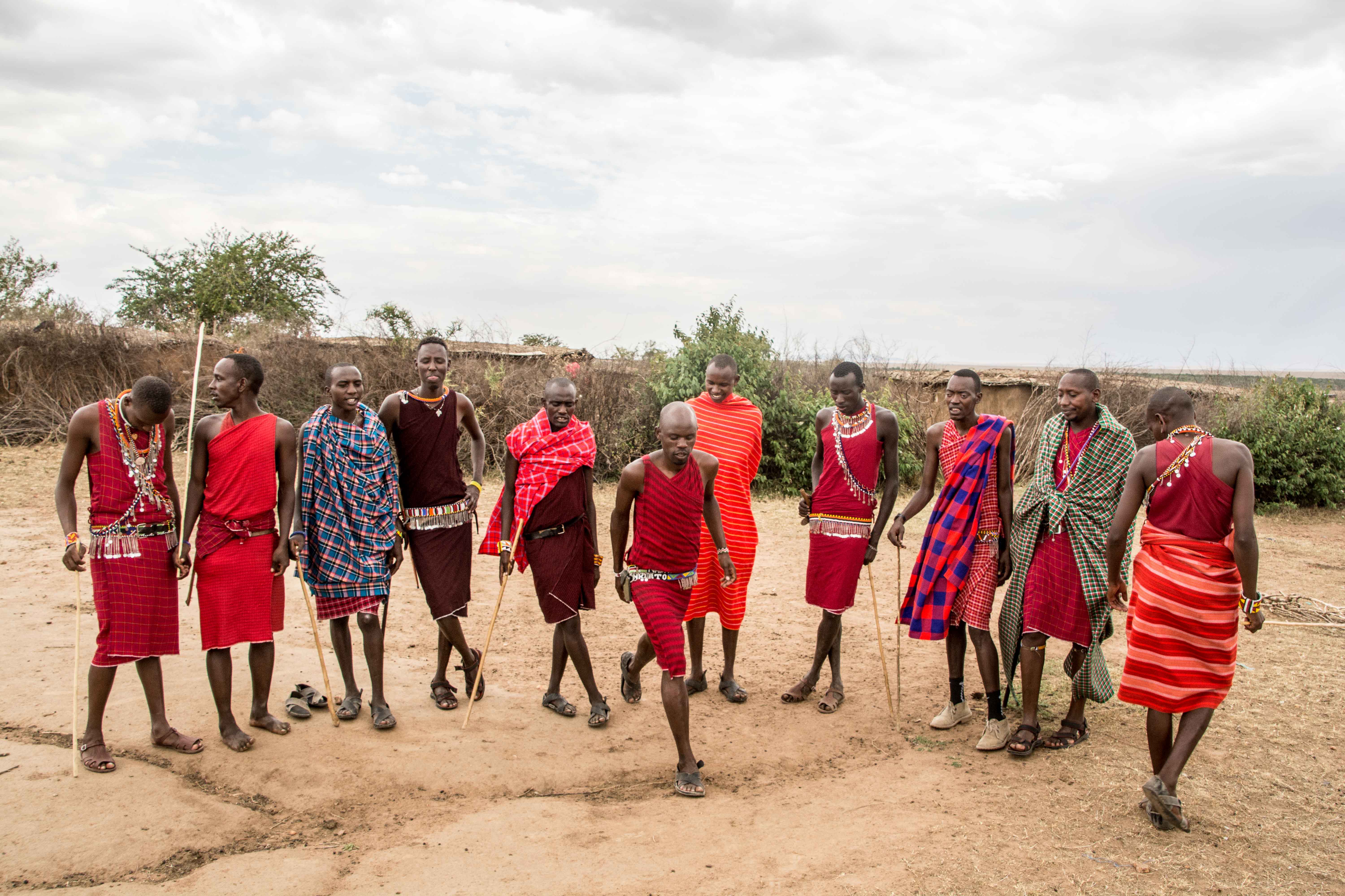
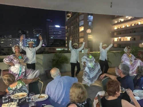
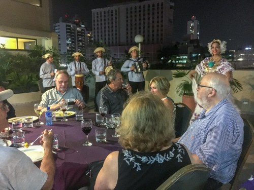 We have a bit of time to settle in, and then its out onto the terrace looking out on the buildings near by to have our dinner. It is actually one of the best dinners we have had, and then when we are done eating, Juan Carlos has a surprise for us. For our entertainment, a group of dancers and musicians perform for us native Panamanian dances in spectacular costumes they have made themselves.
 The men in the group wear hats that don’t look like what is considered a Panama hat. The Panama hat, which is sold by every souvenir store we walked by, has a flat brim all the way around. The hats these men wear are bent back front and back to be parallel to the rise of the part that fits over the head. These hats are considered authentic Panamanian hats. The souvenir Panama hats are modeled after a hat worn by President Teddy Roosevelt when he visited Panama during the building process. This visit, by the way, was the first foreign visit by a sitting president.
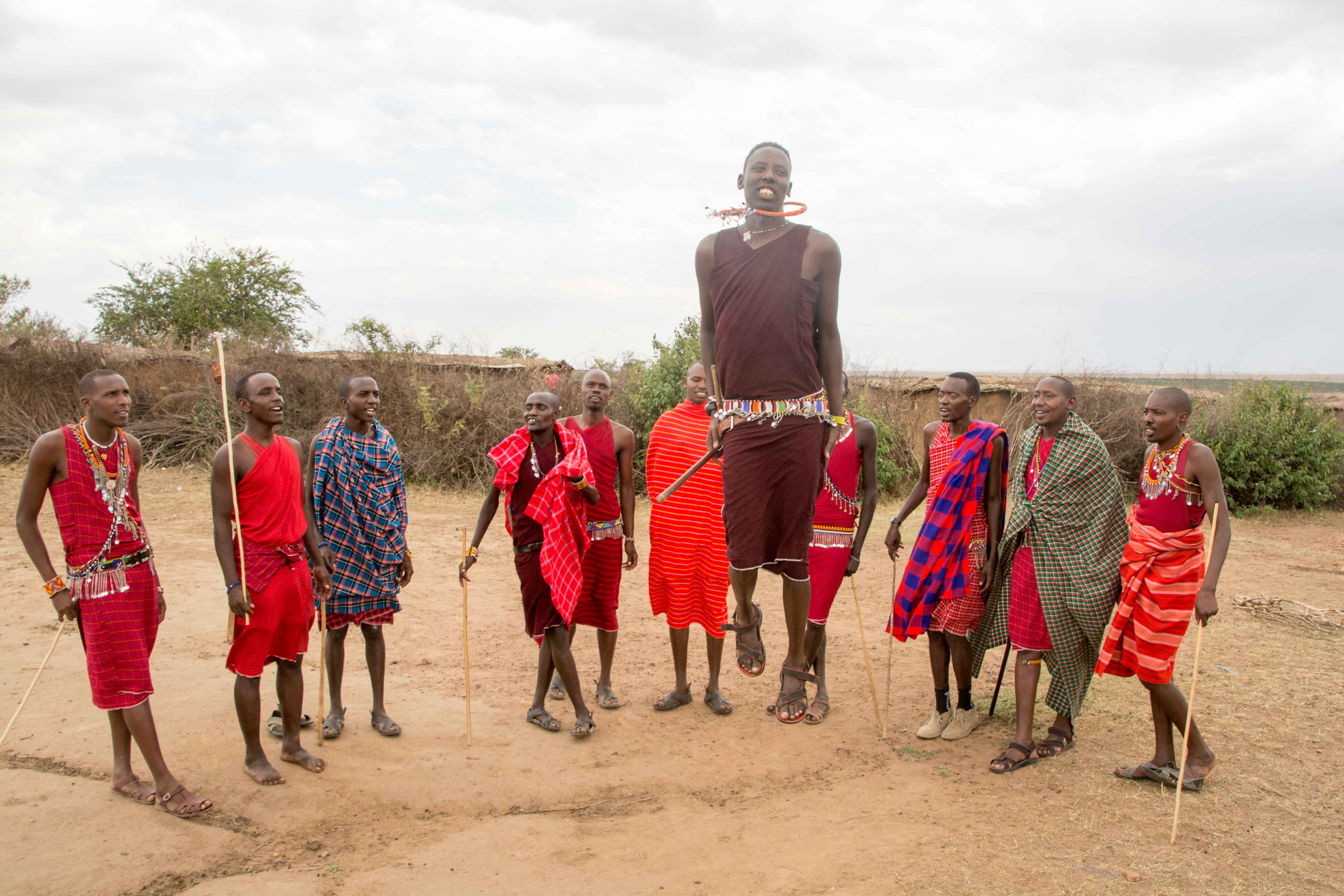
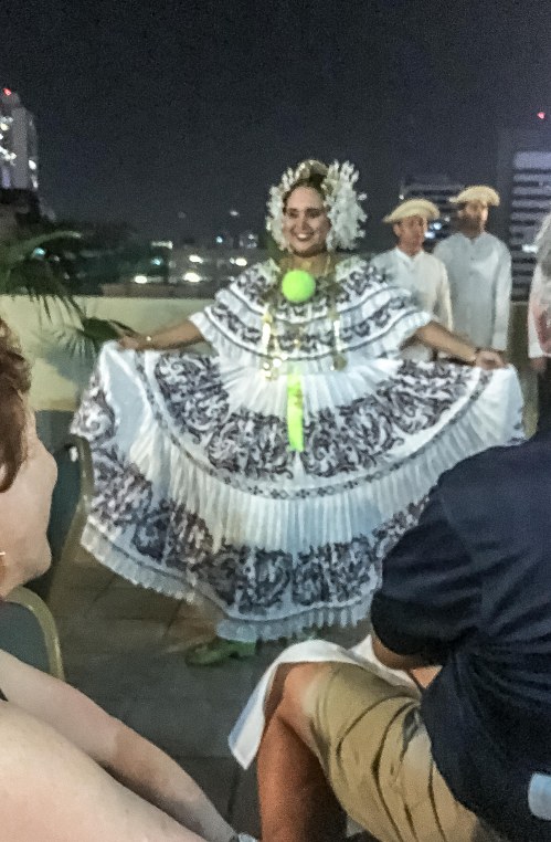 The ladies costumes are quite intricate, as shown by the picture. These are traditionally made by the dancer herself.


The dancers went through several traditional dances, and then invited a few of the group to join them for the final dance.
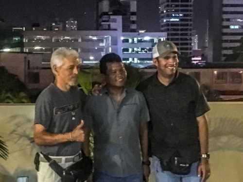 After the dancing was completed, Rey, Gabe, and Juan Carlos (l to r) were thanked by all of us for the wonderful job they did throughout the program.
Tomorrow, we go back to the airport for our return to Palm Springs. The return trip turned out to be a lot longer than it should have been, and we missed our plane from Miami to Palm Springs. We were rebooked on the next flight to Palm Springs, but instead of a comfortable trip on a 777, we had to settle for an uncomfortable one on a 737. Oh, well, the visit was fun, and quite a very well done tour!
 The Islamorada now takes tourists through the Panama Canal, but it has quite a history. It was built in 1912, and purchased by Al Capone in 1919. He used it as a “rum-runner”, bringing then-illegal booze to the US from the Caribbean. It was eventually confiscated by the US government, and served as a mine-sweeper during WW II.


 He will guide us through the Canal, as he and fellow pilots do for all the ships in the Canal.

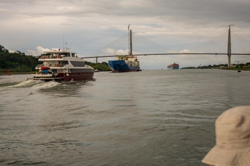
 Beyond the bridge, there are ships being loaded with containers. This port area is a large storage and redistribution yard where containers can be left off, and others going to the ports where a ship is heading added on. These large ships are thus able to better maximize the value of their trips.


 Thus the mules engines, tied to the larger vessels, have a steady change as the ships rise relative to the position of the mule on the side of the lock bay.


 The second are the rectangular geometry of pads on the higher vertical surfaces drilled into the sides to hold the earth in place.


 Gatun Locks are the next stop. This is the three-step down part of the process as we go from the height of Gatun Lake back to sea level.

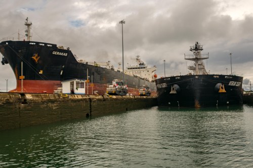 The Gerakas, the ship we accompanied at the Pedro Miguel Lock bay is in the bay beside us here. It sits very high in the water compared to the ship coming up behind us, clearly empty of cargo.

 It seems we have to wait for a spot to dock, so we spend quite a bit of time motoring around the harbor, first going by some interesting ships, then watching the cruise liner dock, and finally we get our chance.


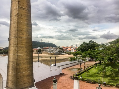
 Once we are over, we head into Panama City for a short shopping stop. On the way, we pass below the terrace we stood on yesterday at the Panama Canal Agency’s headquarters.


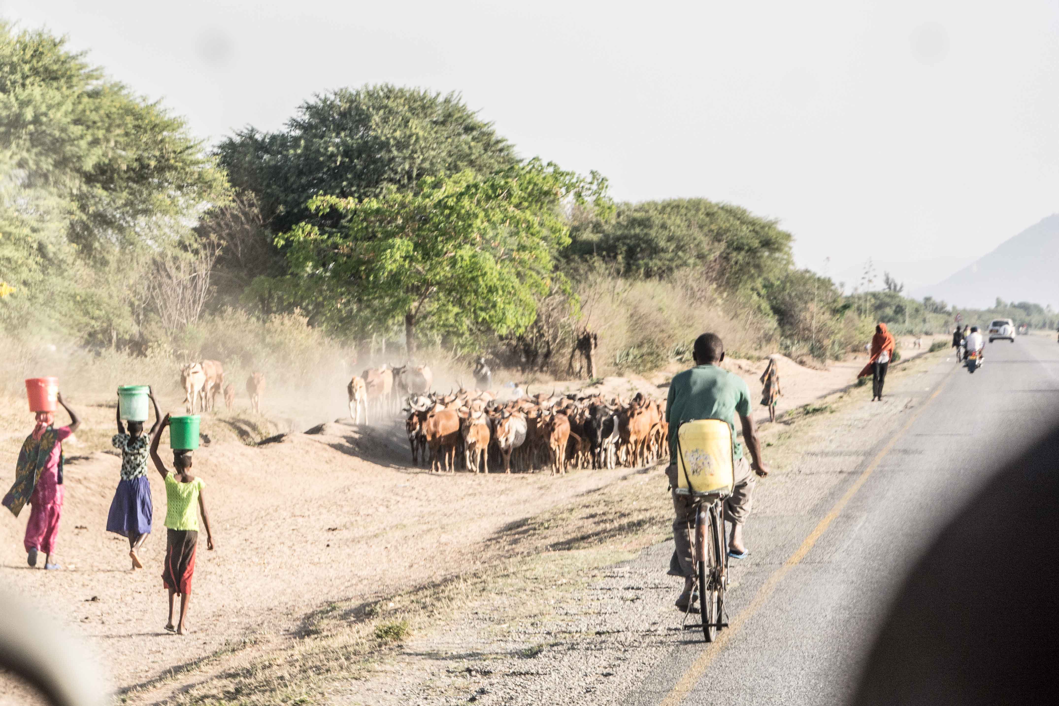
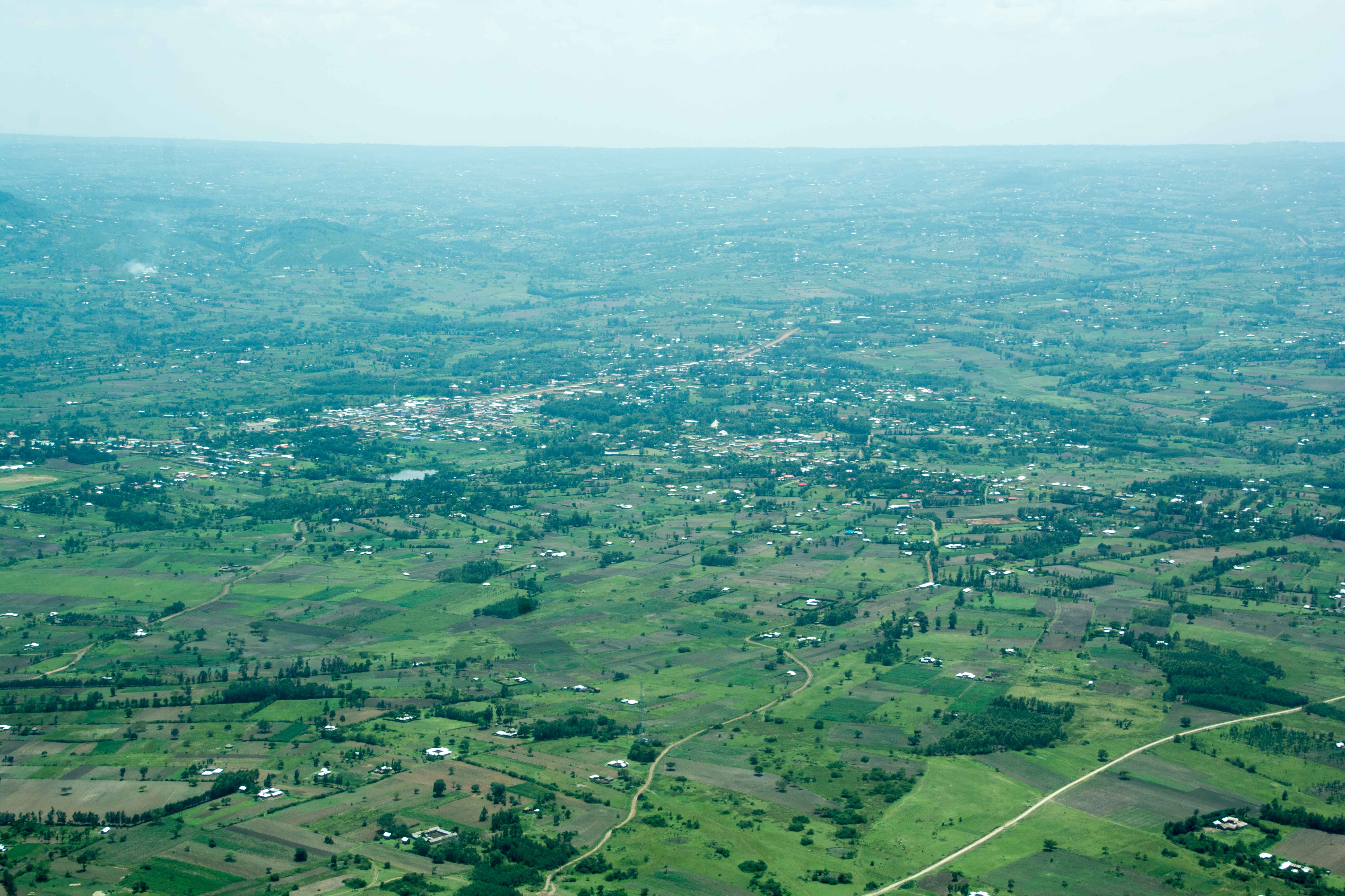
 Once out a bit further, the land use is a little different. Juan Carlos tells us that many of the small houses built on the cleared land are squatters — people who put up shacks and make a home for themselves.


 The houses we see along the way are in various stages in this process. The farther away from Panama City, it seemed, the earlier in this process the buildings seem to be.
 Whenever we stopped along the way, we were visited by the police. There is only one police agency in Panama, the National Police. There are no independent city or other entity police departments.


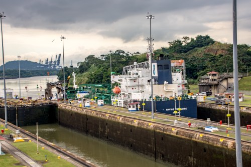
 From here, it’s on to Miraflores Locks. The visitor center sits across from the lock control center. The control enter sits on the strip between the two parallel lock bay channels. The viewing decks give access to watch the ships pass through the three lock bays on their way into or out of the Canal.


 Ships carry many things in addition to the chemical and oil products carried by Navig8. They all seem to have similar lines, but they vary widely within those lines depending on the actual cargo they are built to carry. A couple of examples include


 This picture depicts the bulk of the digging and rock removal. Digging the Culebra Cut, the place where the canal cuts through the Continental Divide, was one of the major engineering marvels of the whole construction. It remains the narrowest place along the canal route, and the reason that the canal is a one-way traffic only operation.
 This next picture depicts a railroad structure. Temporary railroad tracks were laid to move heavy equipment to the Cut, and more importantly to transport the dirt and rocks blasted out on a daily basis to the designated landfill areas. Upon completion, the peak of the Continental Divide had been reduced from 210 feet above sea level to 39 feet across a 299-foot-wide base. This effort required the removal of approximately 120 million cubic yards of earth and rock. For comparison purposes, a so-called half-ton pick-up truck can carry approximately half a cubic yard of dry aggregate material. The bottom of the Cut at 39 feet-above-sea-level is covered by water to bring it up to the 83 feet-above-sea-level of the Gatun Lake water contained between the locks of the canal enabling the large vessels to travel safely through. The surface of the water at the Cut is approximately one-third of a mile (1760 feet) across.
 Continuing around the dome, this picture is centered on the circular drainage culvert running between two side-by-side lock bays. This central culvert is 18 feet in diameter and is connected to smaller culverts that run below each of the bays. The picture also shows several of the different types of cranes used to move equipment, concrete, framing timbers among other things around the lock sites.
 The last picture gives a closer view of the framing and structure of the miter gates (so called because they come together in a wide “V” shape) used to hold the water in or out of each lock bay. Each gate leaf is 64 feet wide by 7 feet thick, varying in height from 47 to 82 feet, depending on the bay’s height. Hinted at in these pictures is the science and engineering developments necessary to form, mix, shape and let harden appropriately the concrete used. Concrete is a precise mixture of sand, water and cement with rock of defined size. Construction use of concrete is something that was new in the late 1800s, and use in the quantities and structures of the Canal was unprecedented.
 Colonel George Washington Goethals was appointed Chief Engineer of the Panama Canal in February 1907 by President Theodore Roosevelt. The president had decided after some wrangling with interested parties that it was best to have the Army Corps of Engineers run the canal construction instead of an independent contractor. Goethals managed the job to a successful conclusion two years ahead of schedule. He was widely acclaimed for his work on the Canal, garnering numerous awards and accolades. In 1914, shortly after completion, President Woodrow Wilson appointed now General Goethals the first civil governor of the Panama Canal Zone. He left this post in 1916 to become Quartermaster General of the US Army as the US was preparing to enter World War I.
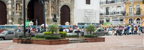 Juan Carlos explained to us that they were retirees who were complaining that the Panamanian version of Social Security was not sufficient for them to live on. He explained that the average monthly entitlement was around $250. This is far below the minimum wage of approximately $600 per month, so the protest was reasonable. He also said this was part of a yearly process, and in the past, such protests had led to improvements for the retirees.


 and from the other side is a grand view of the Bridge of the Americas, the bridge we’ve seen from several angles before.
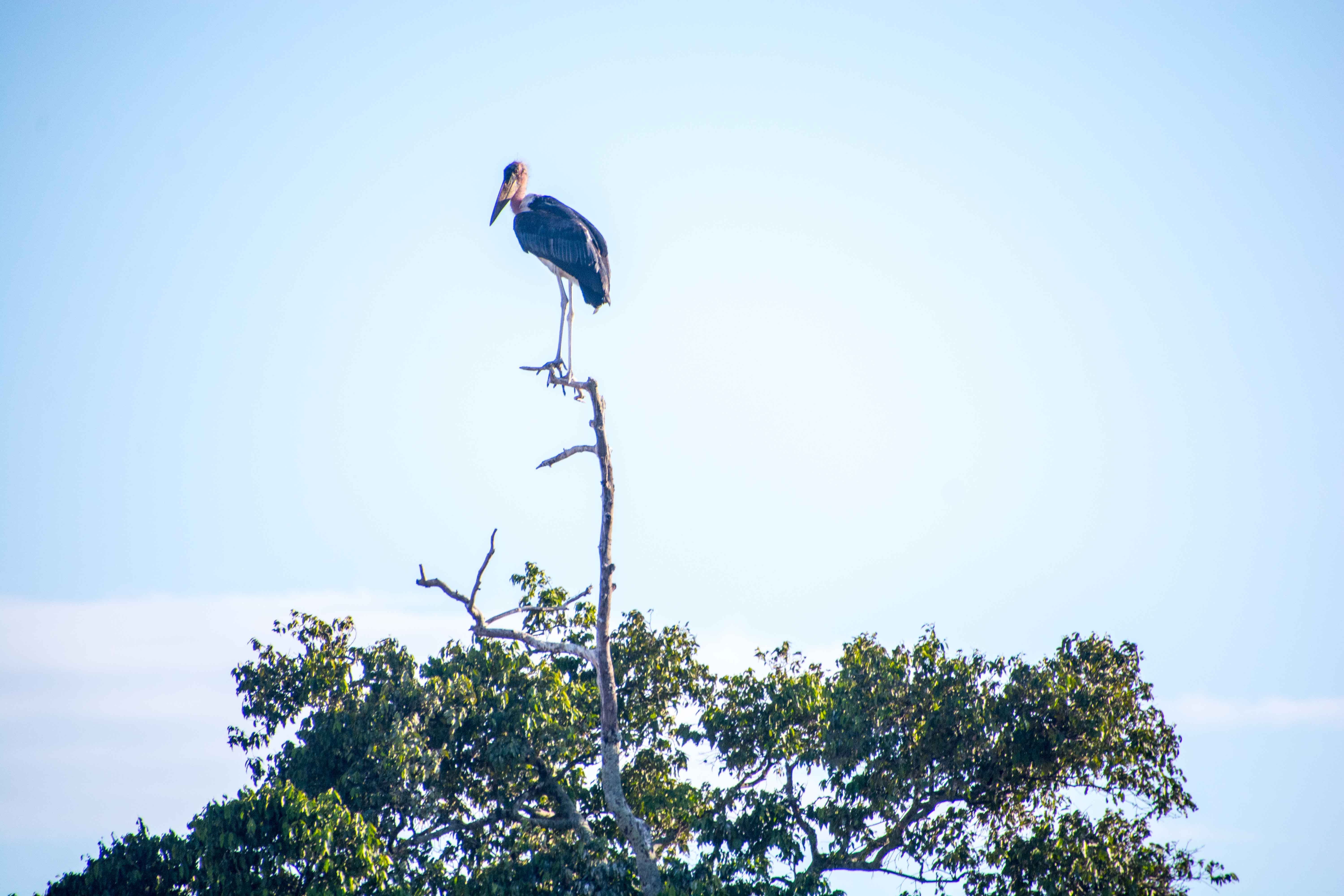
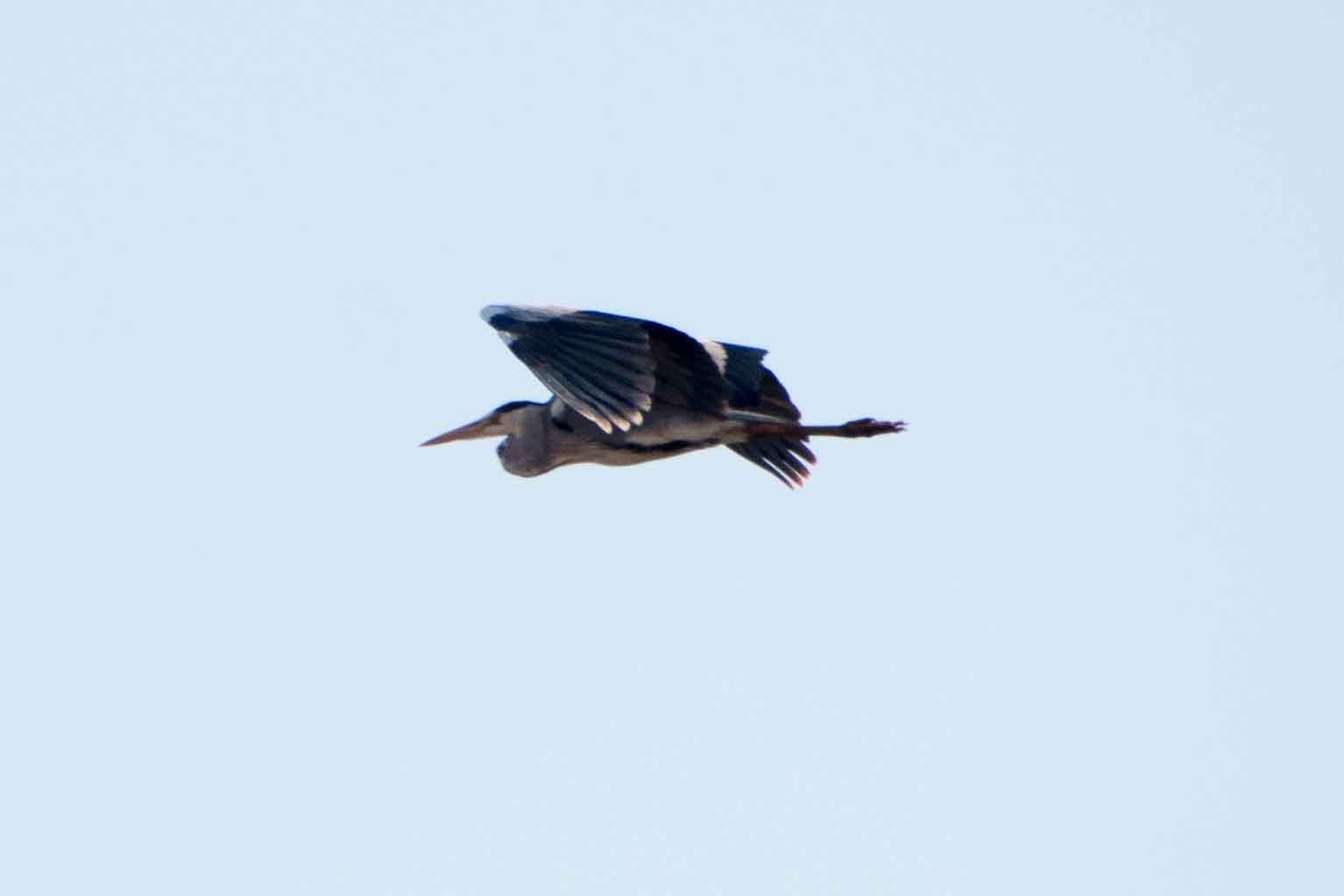
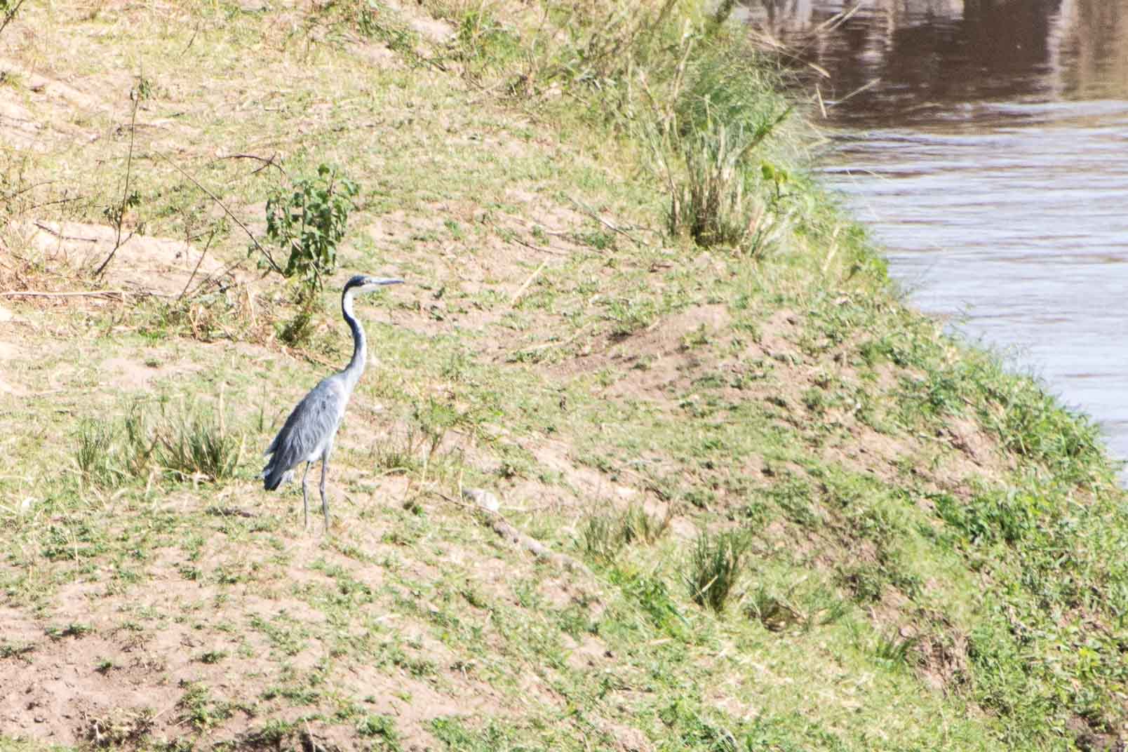
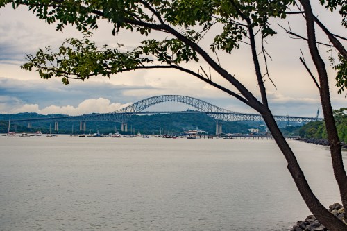 From here it is a simple walk back to the hotel. Well, maybe simple, but longer than anticipated. Along the way, there were some interesting sights. A great heron caught my eye.


 The outside is quite spectacular, making us wish we could have seen the inside. It was built starting in 1688, and finally consecrated in 1796. Why does it have so many names? I am not patient enough to wade through the internet references to find the answer. It probably has something to do with its age, the specific congregation it serves, or perhaps the level within the Catholic hierarchy of the religious leader to whom it serves as home. Maybe all three. I did find that roughly 69% of the Panamanian population regard themselves as Catholics, thus explaining the Pope’s pending visit and the number of such churches we have seen in our walk.
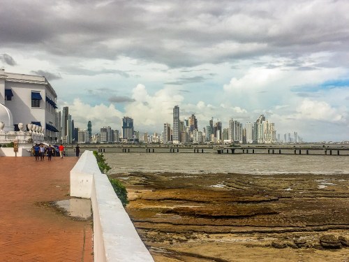
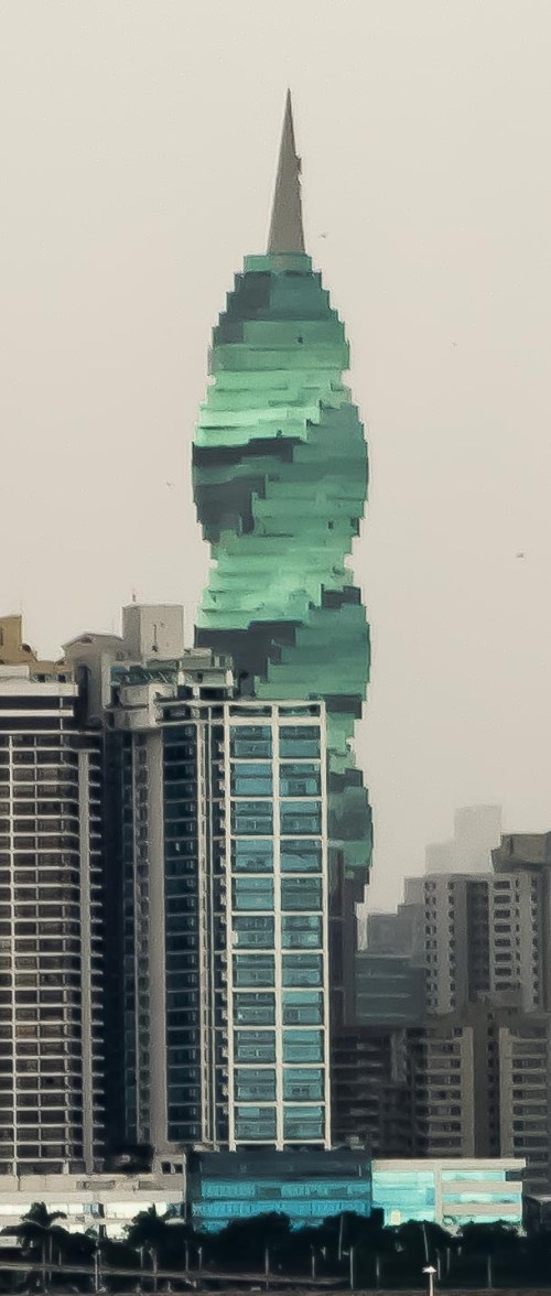
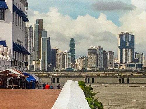 Instead of emphasizing the vertical, this one twists as it rises and glows with a curious green color.